Back to Don's Maps
 Bushwalking Index
 Bushwalking, Hiking and Tramping in New Zealand
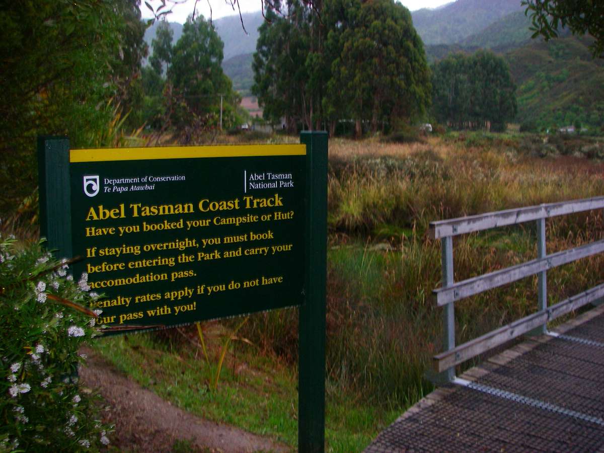
The Abel Tasman Track in New Zealand
The Abel Tasman track follows the coastline along the north coast of the south island of New Zealand from Marahau to Wainui. Accommodation at either huts or tent sites must be booked in advance.
It is a beautiful track with stunning coastal scenery, and the opportunity to take part in kayaking and guided walks, as well as catering for independent walkers.
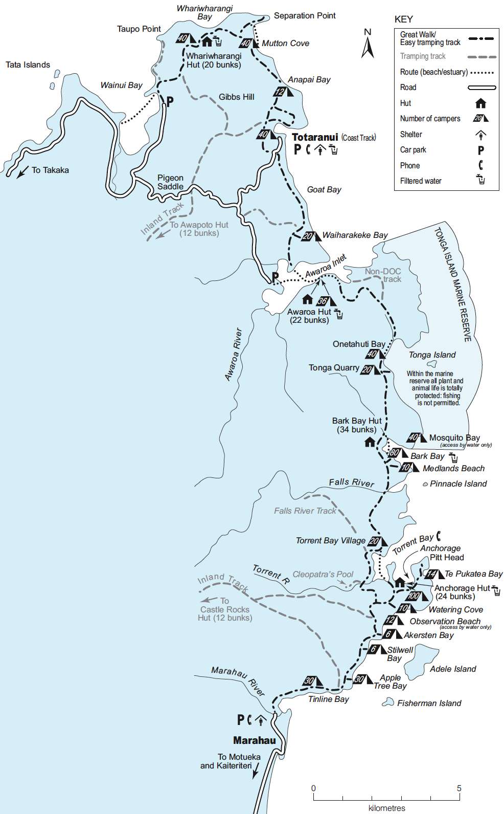
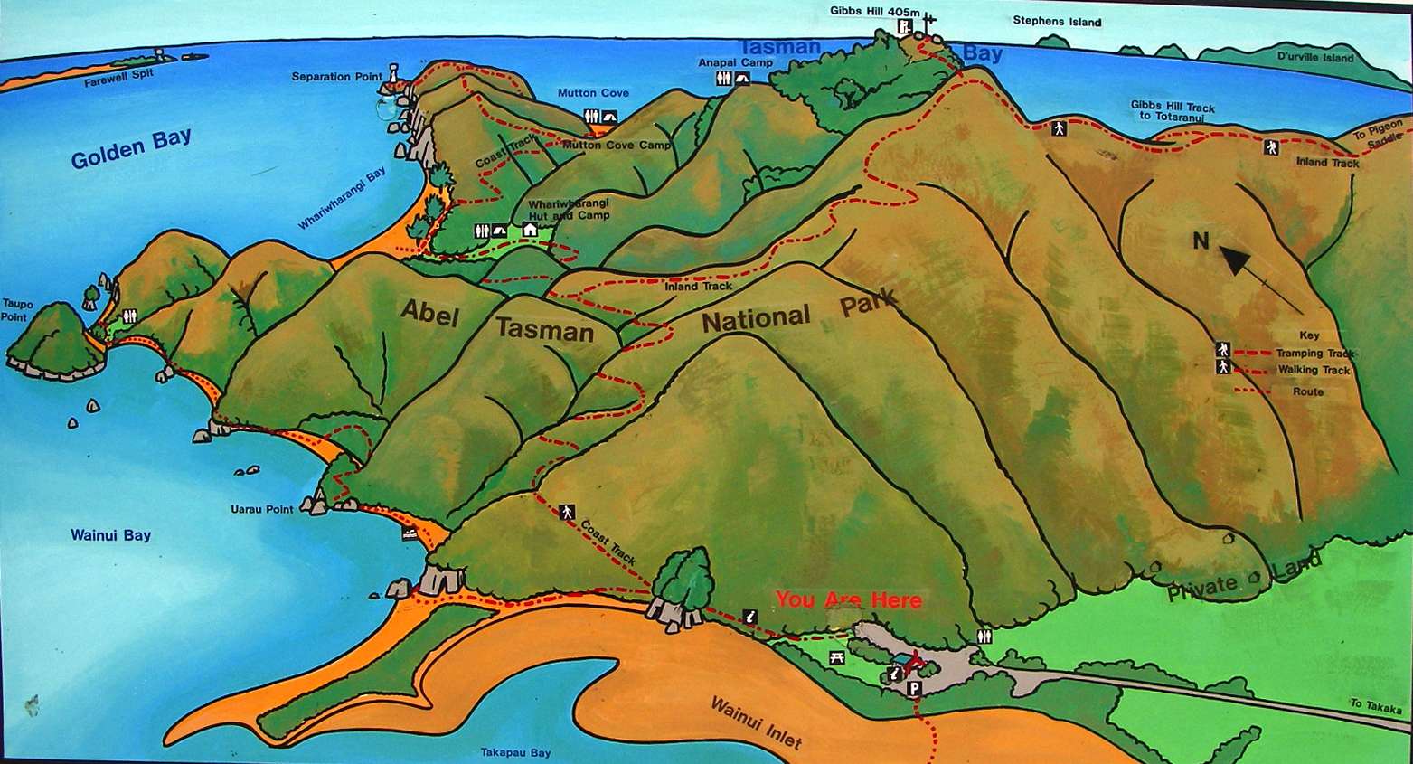
This is an excellent sketch map of the Abel Tasman Track from the New Zealand Government site. The NZ Government has worked really hard to make it easy for tourists to find information, and to book travel and accommodation. I believe they have the best such system in the world.
Photo: http://www.doc.govt.nz/
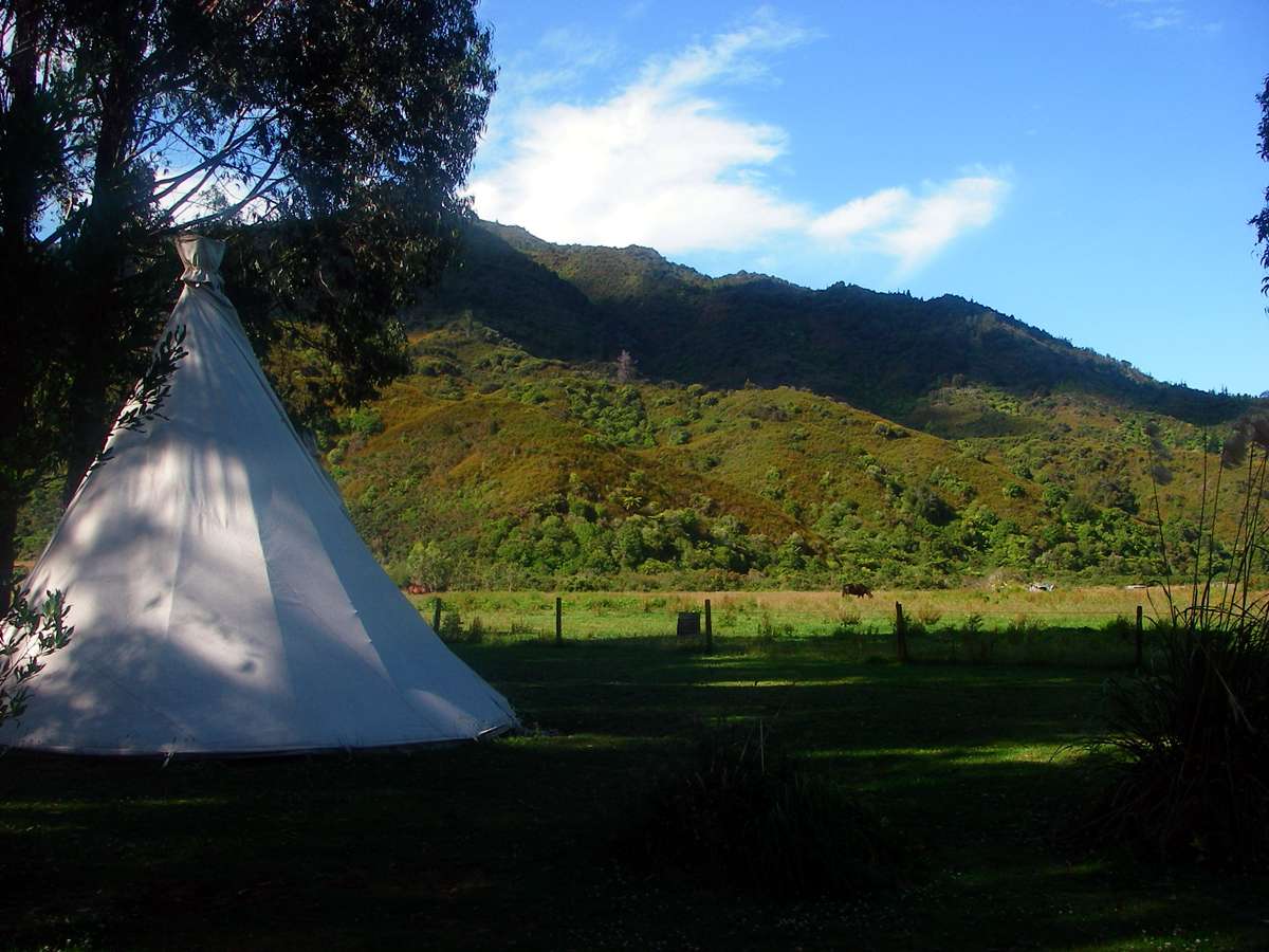
There was a good camp site at Marahau, with a small general store. This was one of a group of permanent tepees which the owners rented out.
Photo: Don Hitchcock January 2007

There was a shelter where you could cook and eat when the weather was inclement, and this sign warned hikers to be careful of thieving birds!
Photo: Don Hitchcock January 2007
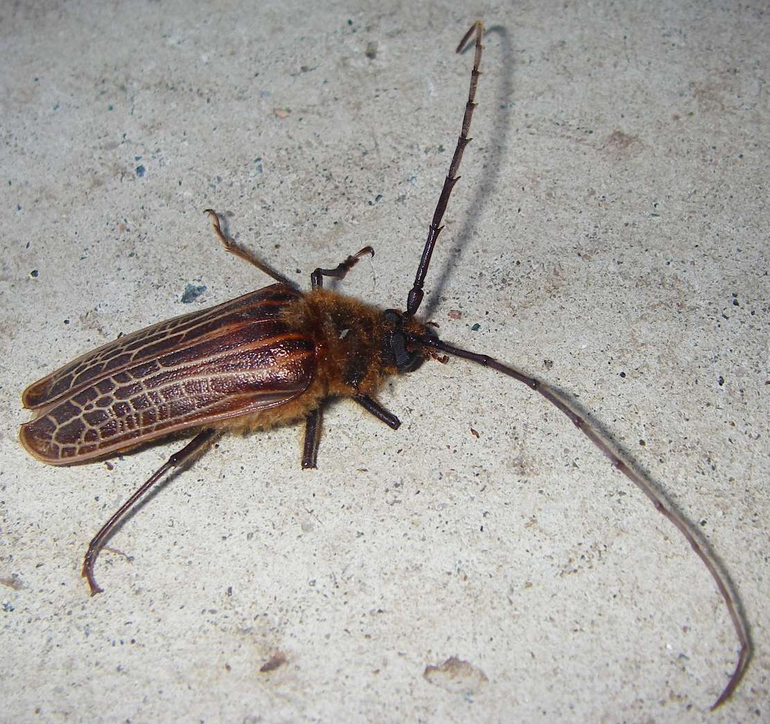
This was one of the few insects I saw during my nine weeks walking in New Zealand. It had had a difficult life, and had only three fully functioning legs. It looks like a longicorn beetle.
Photo: Don Hitchcock January 2007
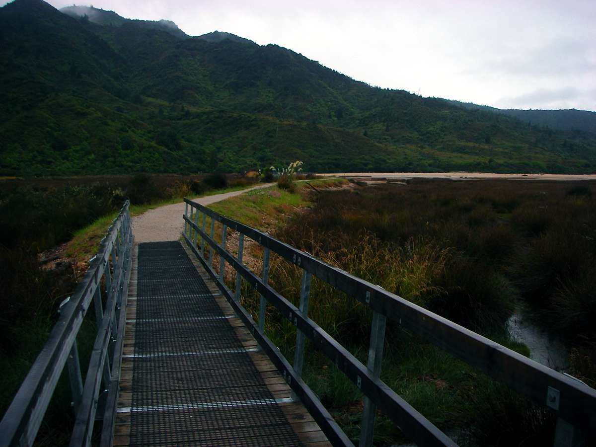
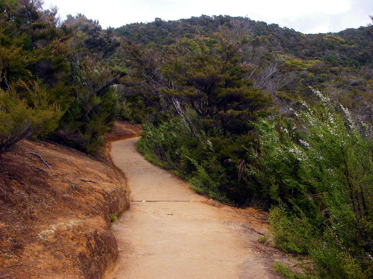
The start of the track, on a grey day with a little rain falling.
Photo: Don Hitchcock January 2007
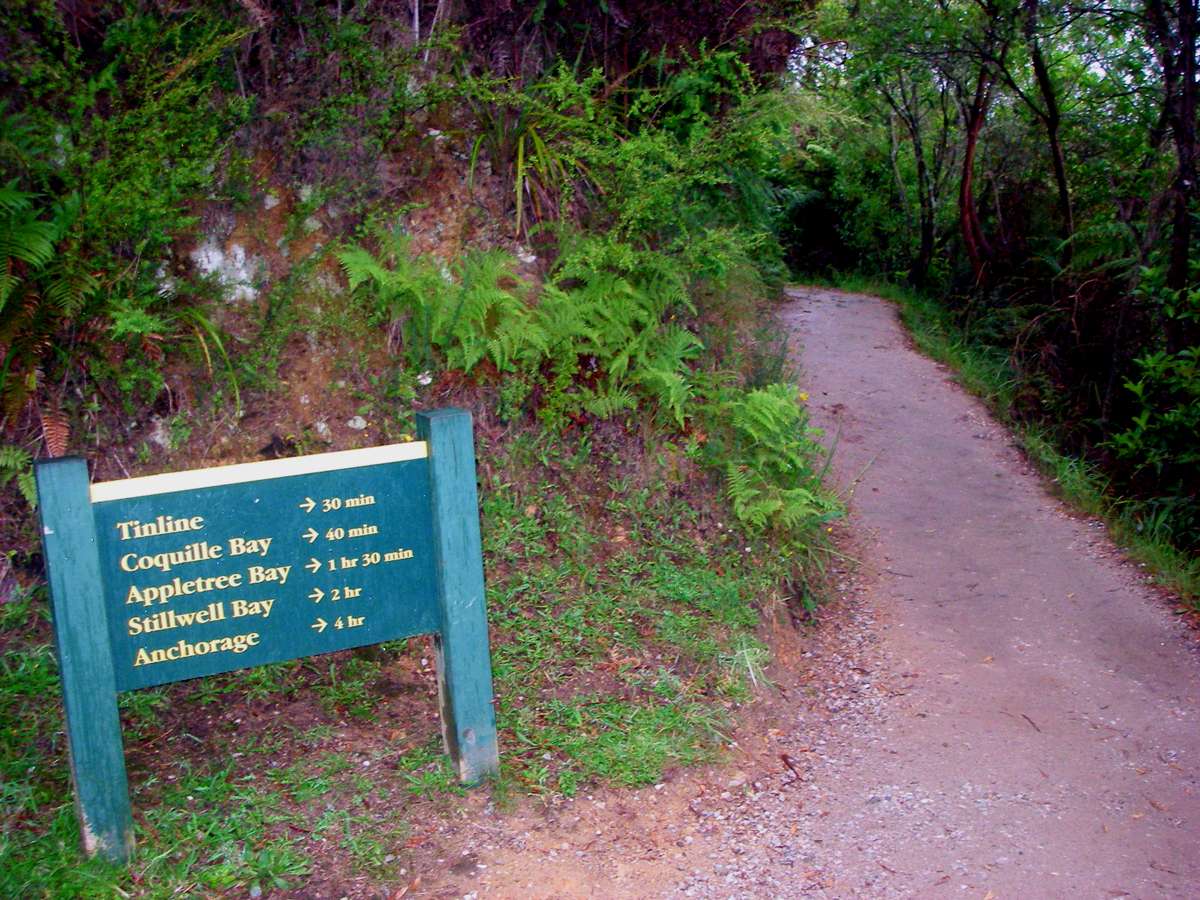
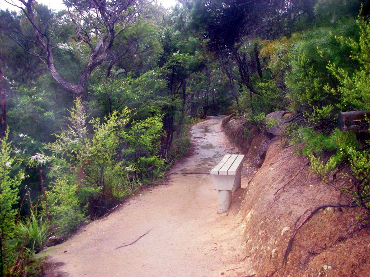
The signage on the track is excellent.
Photo: Don Hitchcock January 2007
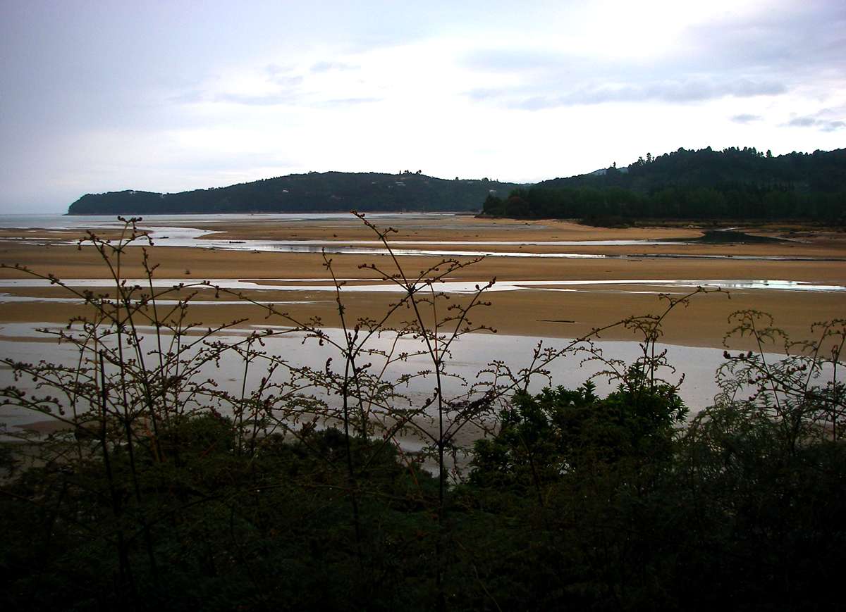
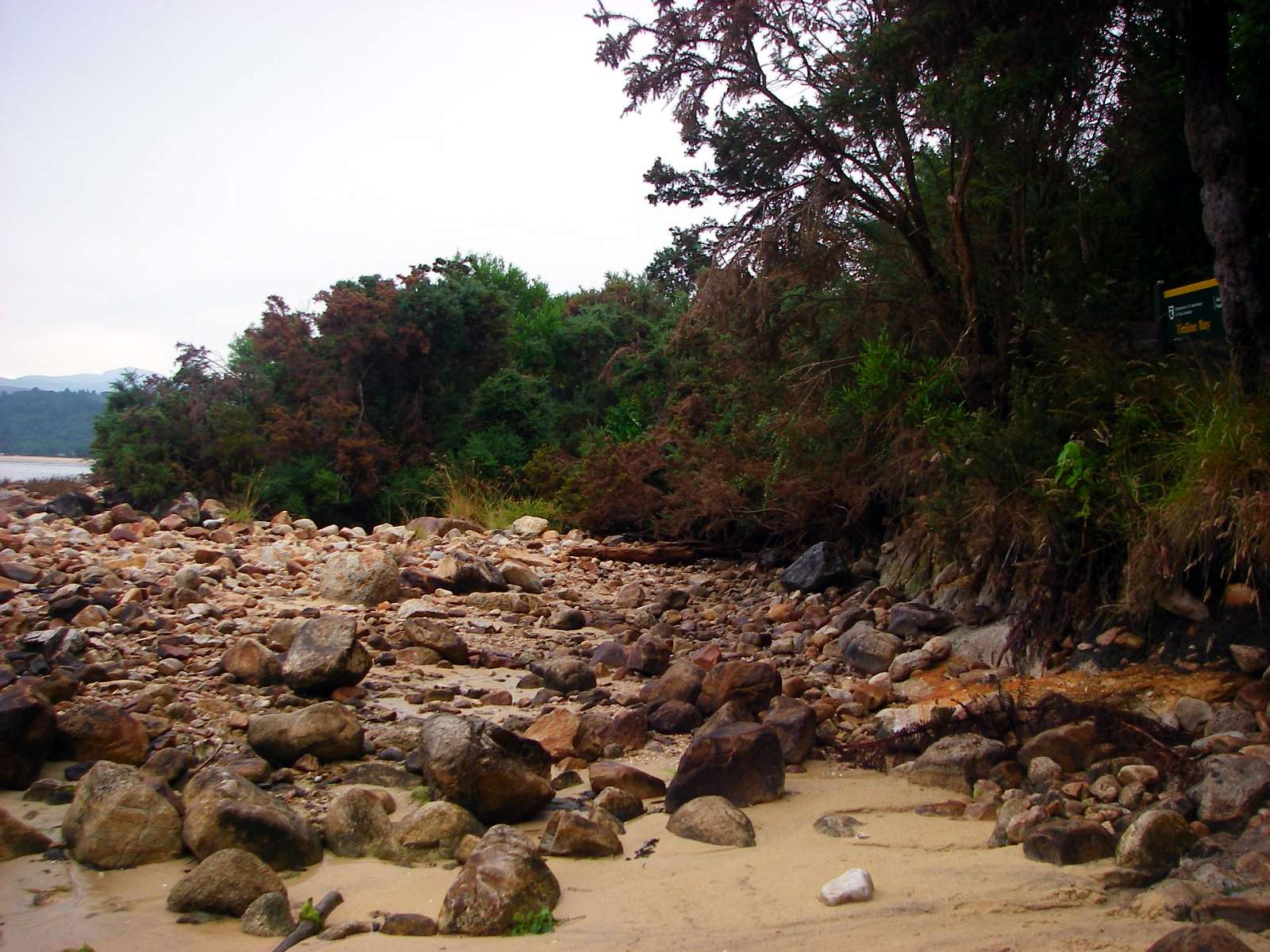
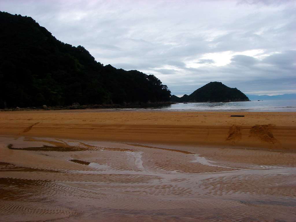
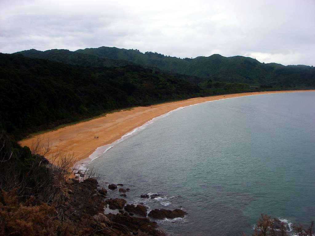
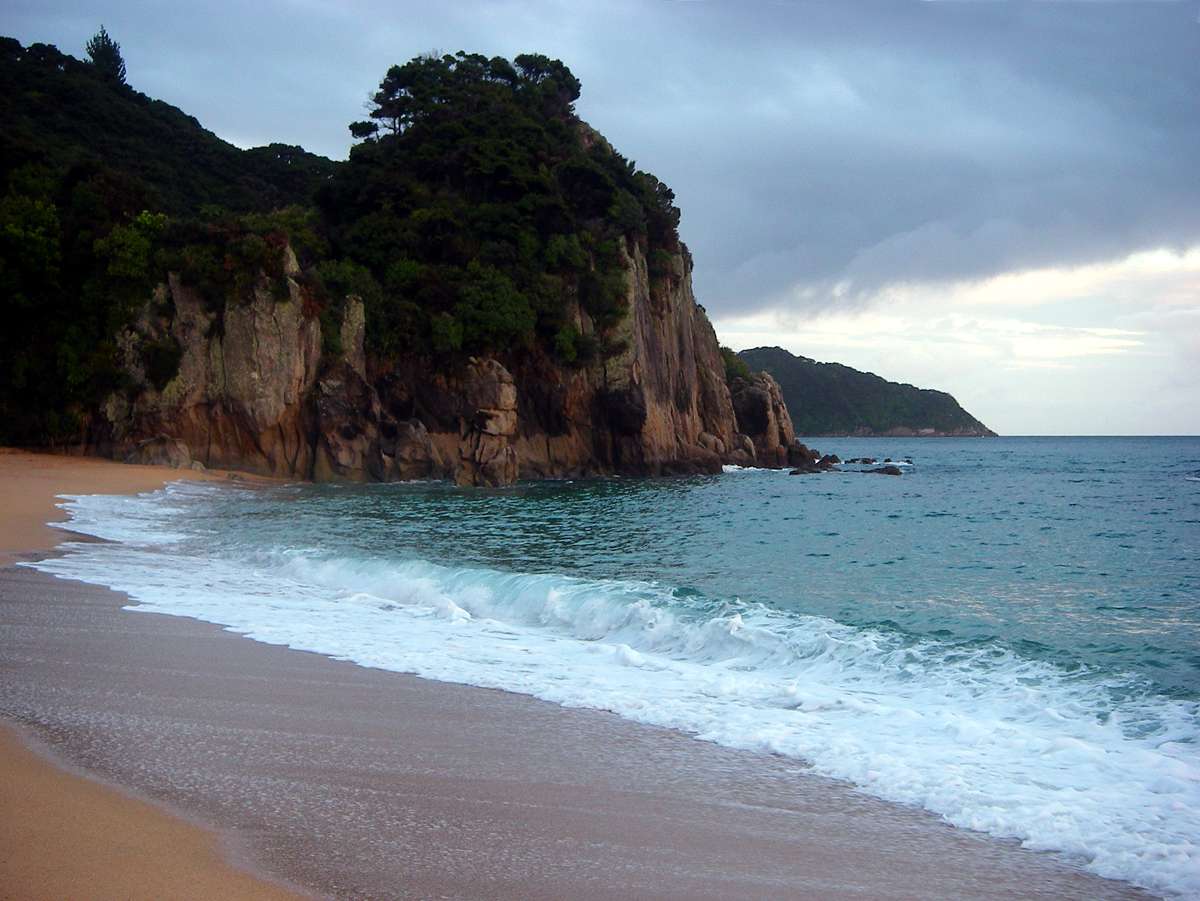
There are many parts of the seashore with very extensive sand flats, such as this. There was very little surf, since at this point the view is out to Tinline Bay, which tempers the swell of the Tasman Sea considerably.
Photo: Don Hitchcock January 2007
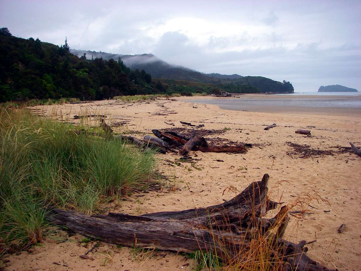
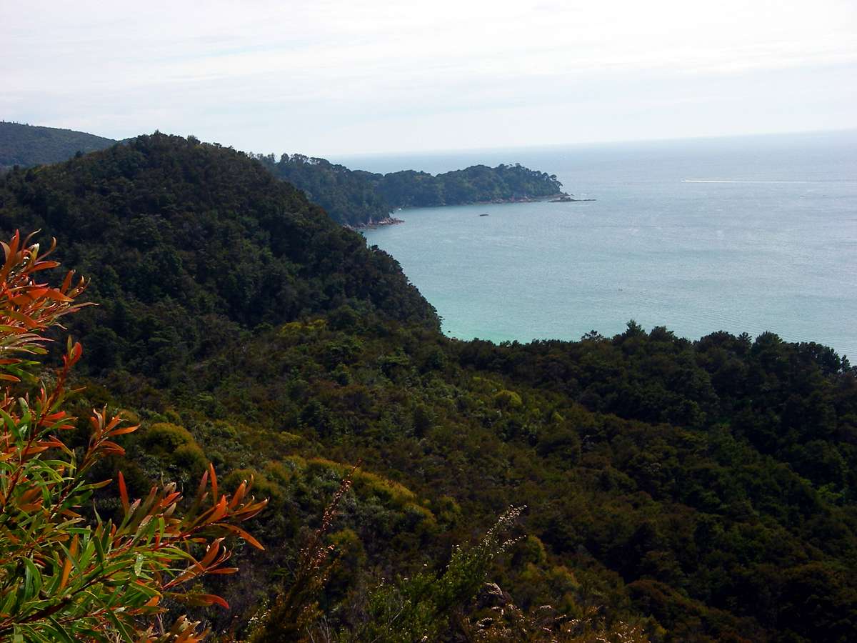
The track winds over the headlands and down to the beaches along much of its length.
Photo: Don Hitchcock January 2007
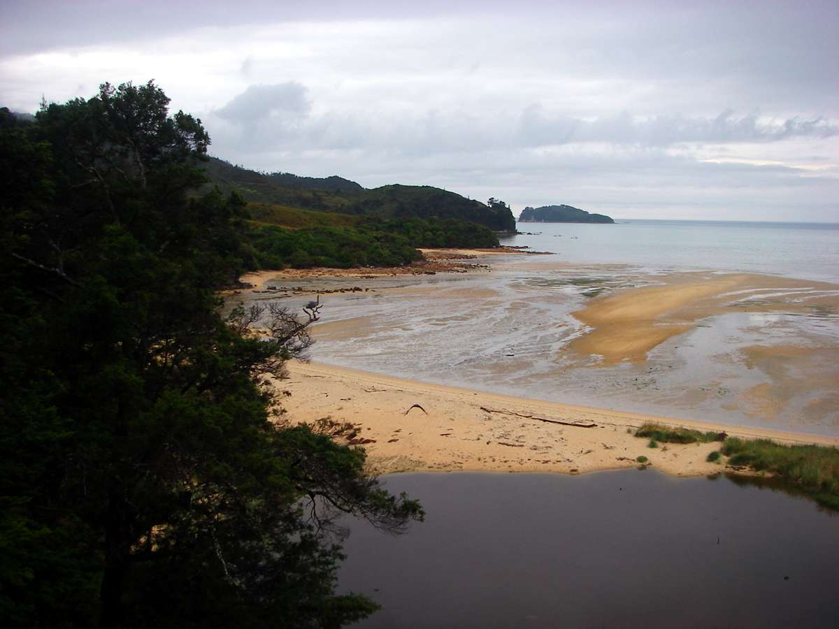
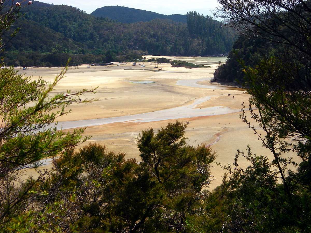
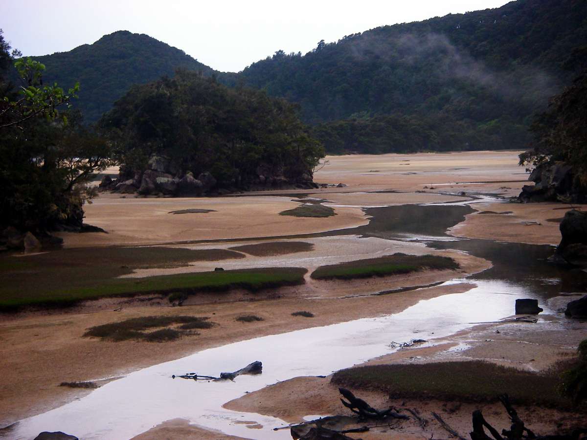
Approaching Tinline Bay from the headland, showing the lagoon and tidal sand flats.
Photo: Don Hitchcock January 2007
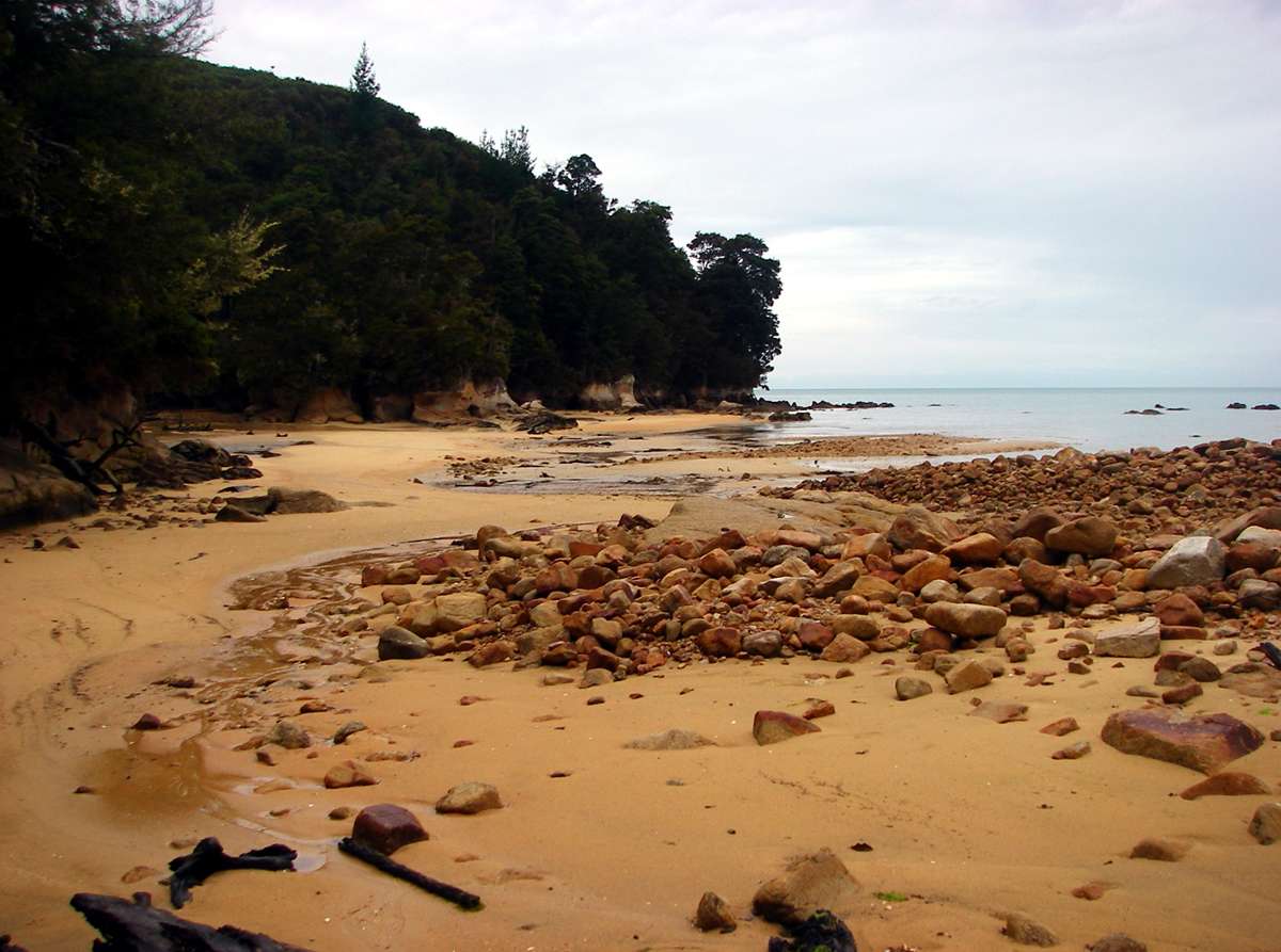
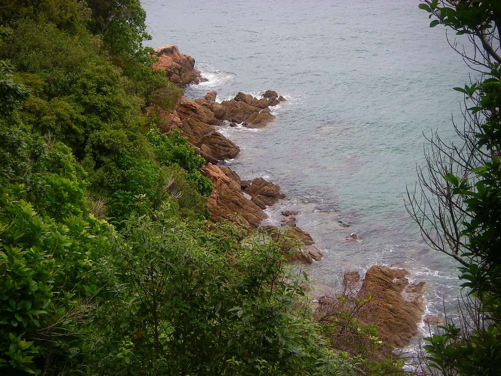
Tinline Bay is about half an hour from the start of the track. There are sandy pieces of rubble broken from the headlands, in the process of being reduced to sand themselves.
Photo: Don Hitchcock January 2007
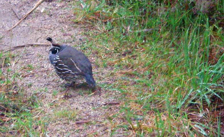
The California Quail has been introduced to New Zealand.
Photo: Don Hitchcock January 2007
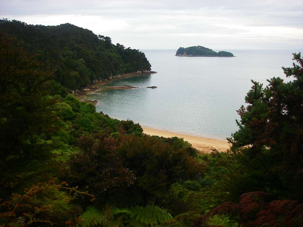
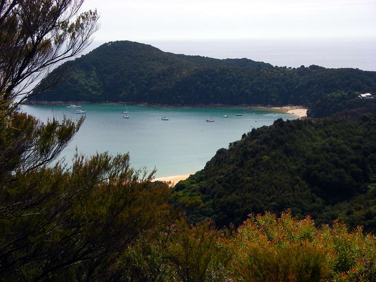
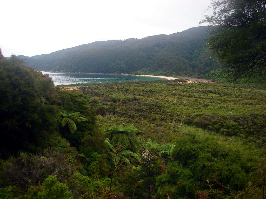
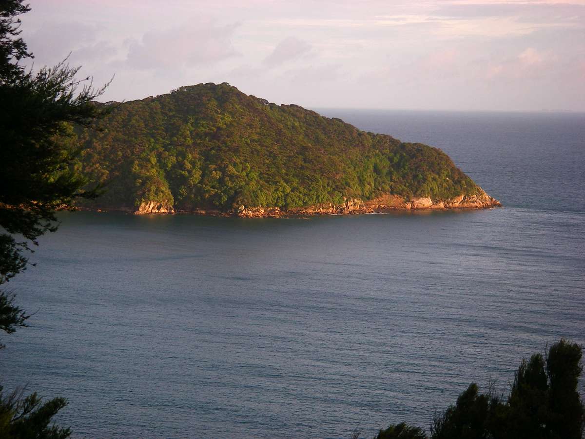
Coquille Bay, seen from the headland between it and Tinline Bay, with Fisherman Island off the coast.
Photo: Don Hitchcock January 2007
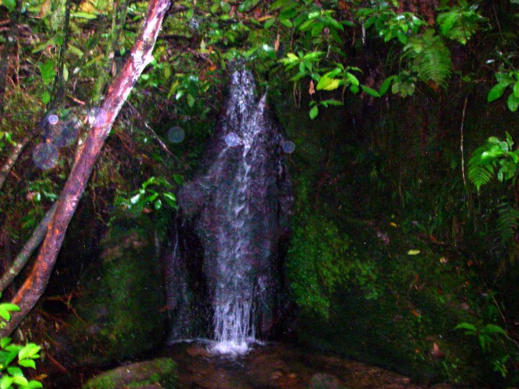
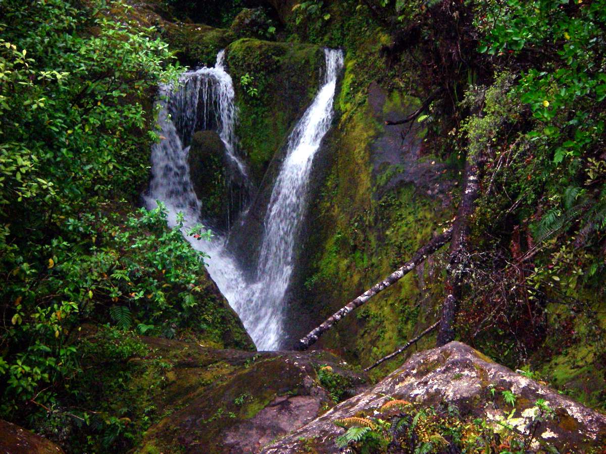
One thing that New Zealand is not short of, is water!
A lovely little waterfall along the track.
Photo: Don Hitchcock January 2007
Stilwell Bay, with Adele Island in the background.
Photo: Don Hitchcock January 2007
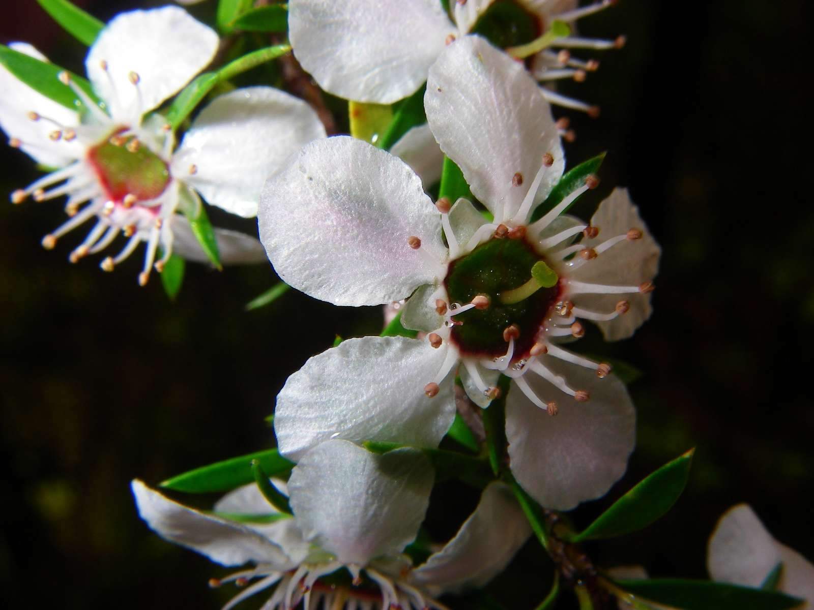
Leptospermum scoparium, an Australian plant which long ago became naturalised in New Zealand. The seed is very fine, and presumably was blown to New Zealand from the Australian mainland.
Photo: Don Hitchcock January 2007
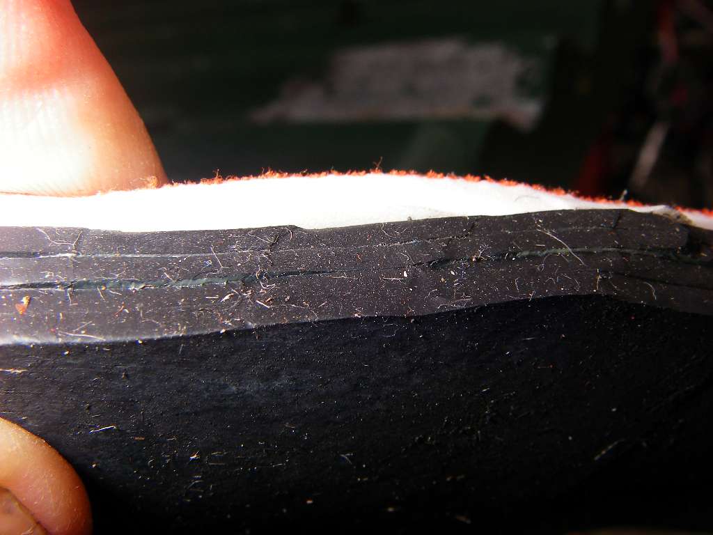
The track was well made, but I found it very bruising on my feet, since it had been beaten so hard. I had bowed to convention, and had bought boots instead of my trusty runners, and I was paying the price. The inner cushioning on the apparently good quality but cheap boots was giving way, and would collapse completely before I finished this three day walk.
I had bought them because they seemed like a reasonable compromise between heavy boots and runners. Never again will I buy boots. I've got several expensive pairs, none of them suit my feet. With runners (I use "New Balance" brand) I can forget about my feet and just enjoy the walk. Boots are good in deep mud, but that's about it as far as I am concerned.
Photo: Don Hitchcock January 2007
Looking back at the little village of Anchorage. I did not go in, because I wanted to get to my destination, Medlands Beach, which was still a fair way away, and set up camp.
Photo: Don Hitchcock January 2007
The track climbs a bit at this point, on the way to the Torrent Bay settlement.
Photo: Don Hitchcock January 2007
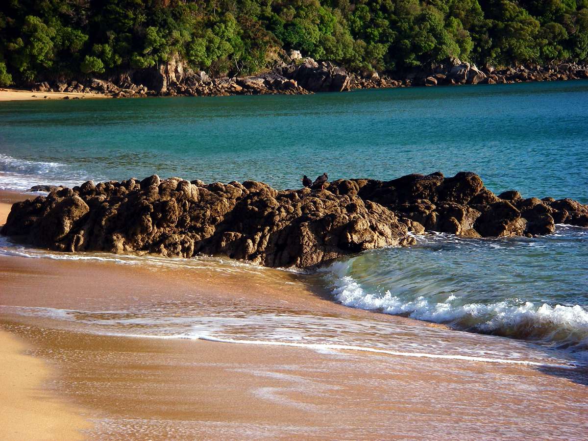
Because of the very small wave action, this section of the coast has extensive sandy flats at low tide. I decided to follow the higher track, rather than crossing via the sand route, since the footing was better, the scenery more interesting, and there was very little difference in the distance in any case - and the tide was coming in!
Photo: Don Hitchcock January 2007
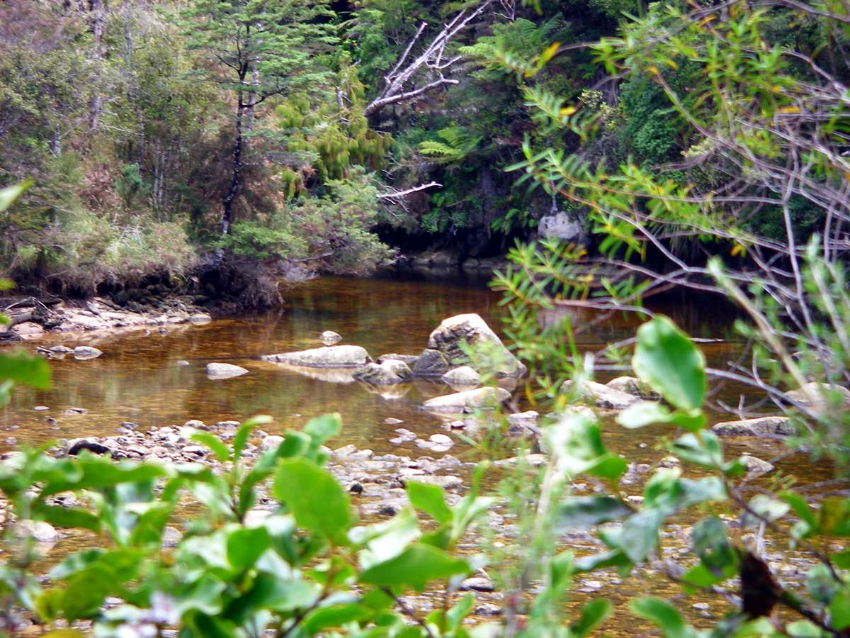
The Torrent River water is stained brown, possibly as a result of peat further up in the catchment.
Photo: Don Hitchcock January 2007
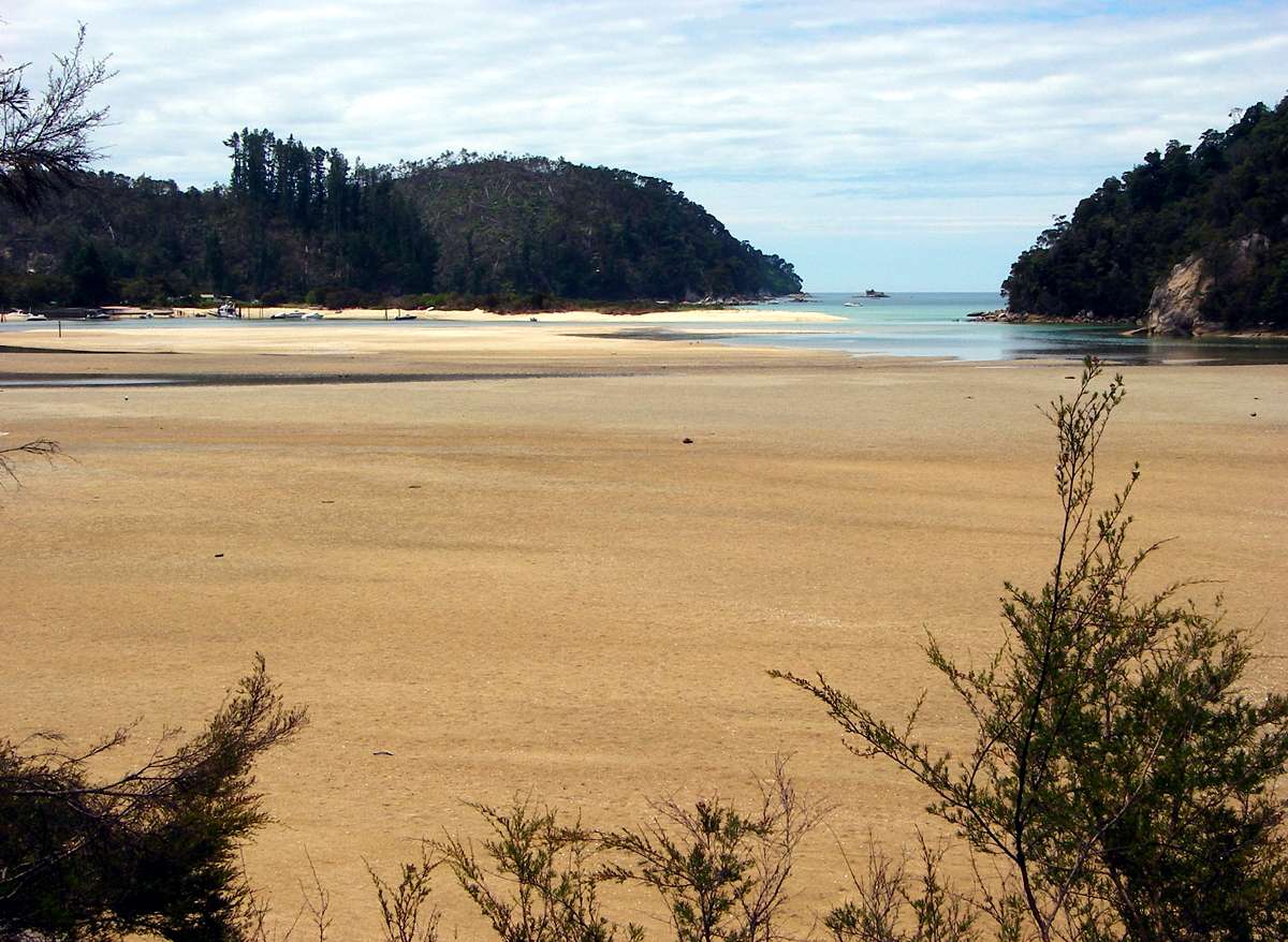
Torrent Bay is a broad, sandy estuary. If you take the sand route, you need to be sure what the tide is doing. At this point it was coming in fast, and I had made the right decision to take the high road.
Photo: Don Hitchcock January 2007
Near Torrent Bay village, the deeper water makes for a wonderful recreation area. The estuary narrows considerably at this point, where a sandy spit comes close to the wooded hillside forming the southern side of the estuary.
Photo: Don Hitchcock January 2007
The track climbs steeply leaving Torrent Bay village, climbing the headland between this pleasant spot and the Falls River pedestrian bridge. The sand route across the shallow bay was completely under water by this time.
Photo: Don Hitchcock January 2007
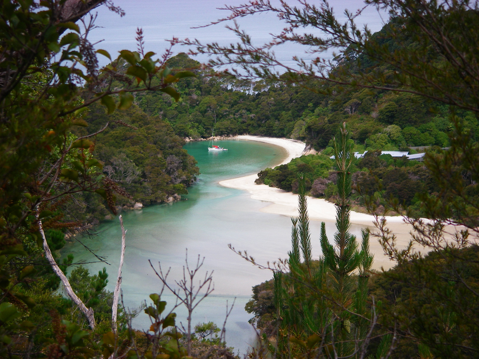
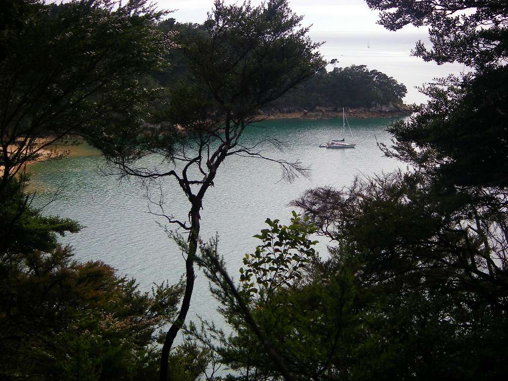
An idyllic little estuary with a sailboat, about ten minutes before the Falls River crossing.
Photo: Don Hitchcock January 2007
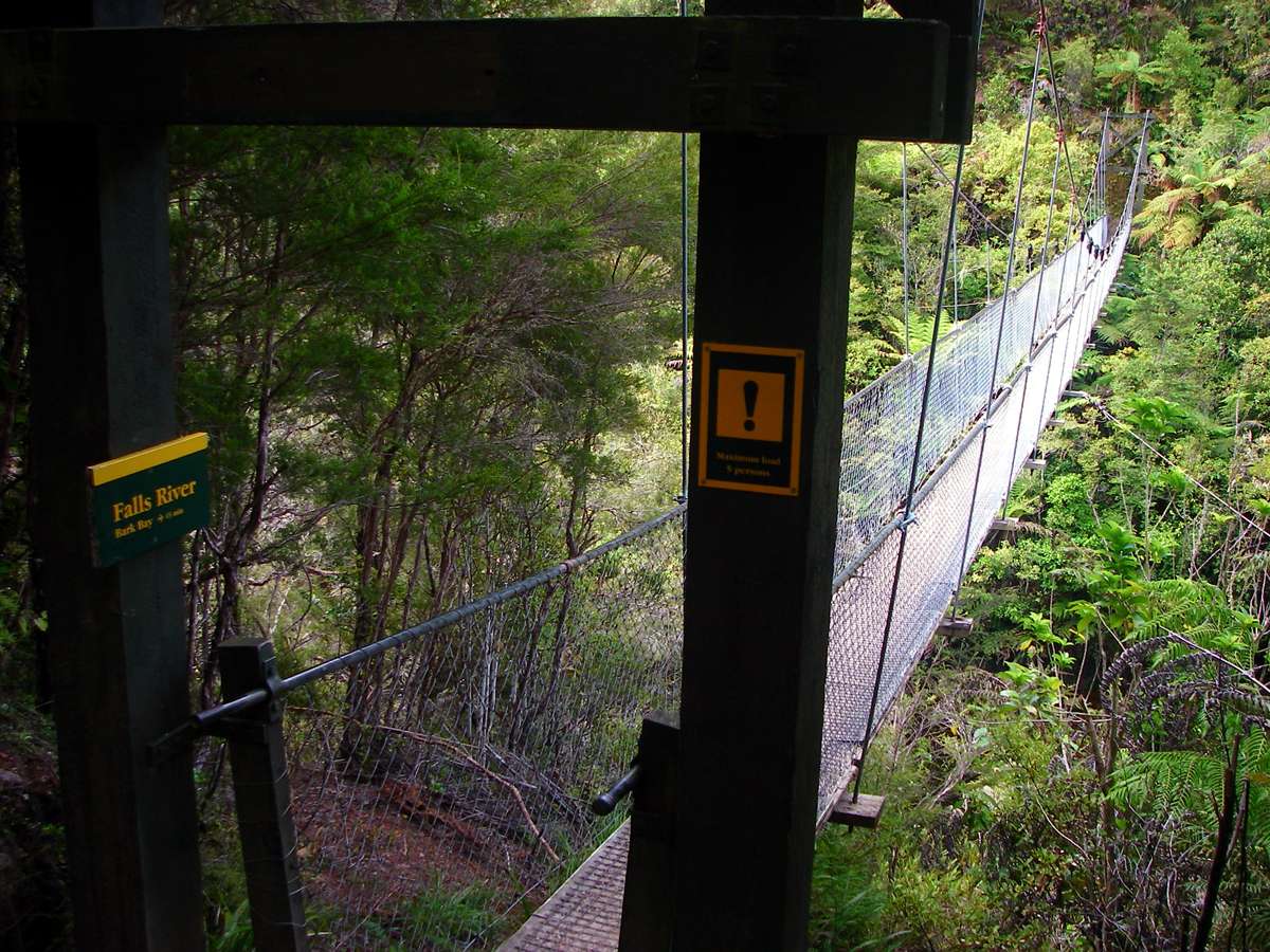
The suspension bridge for hikers across the Falls River was really well made.
Photo: Don Hitchcock January 2007

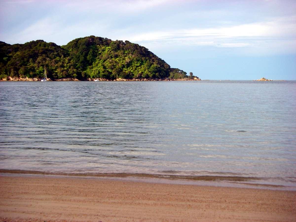
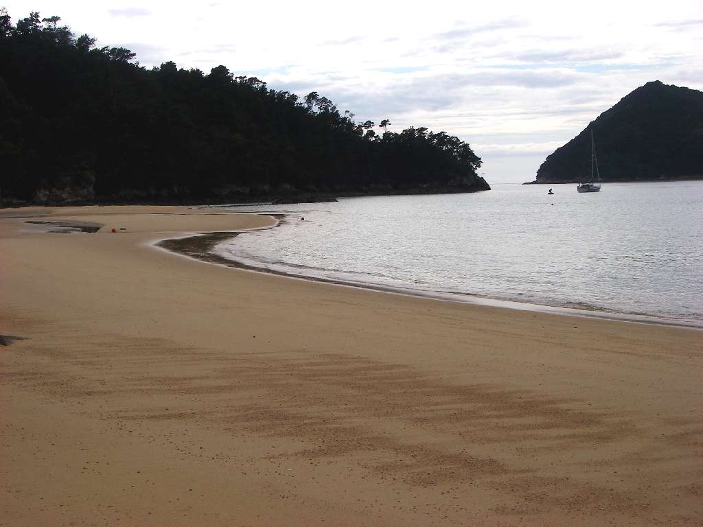
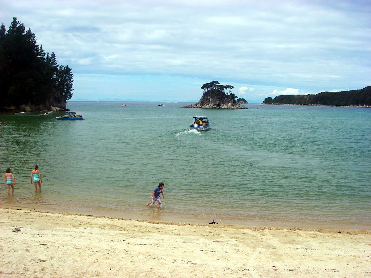
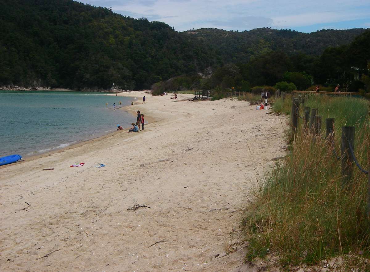
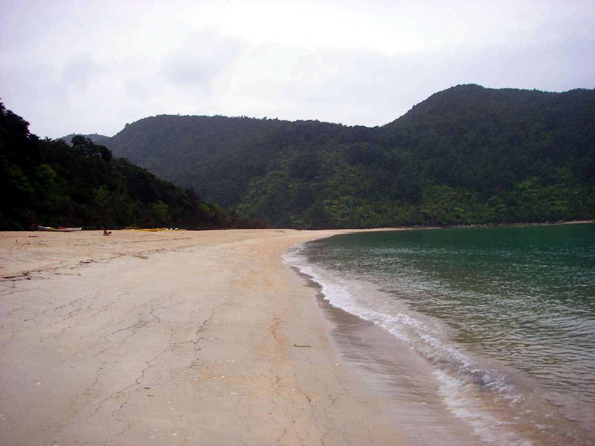
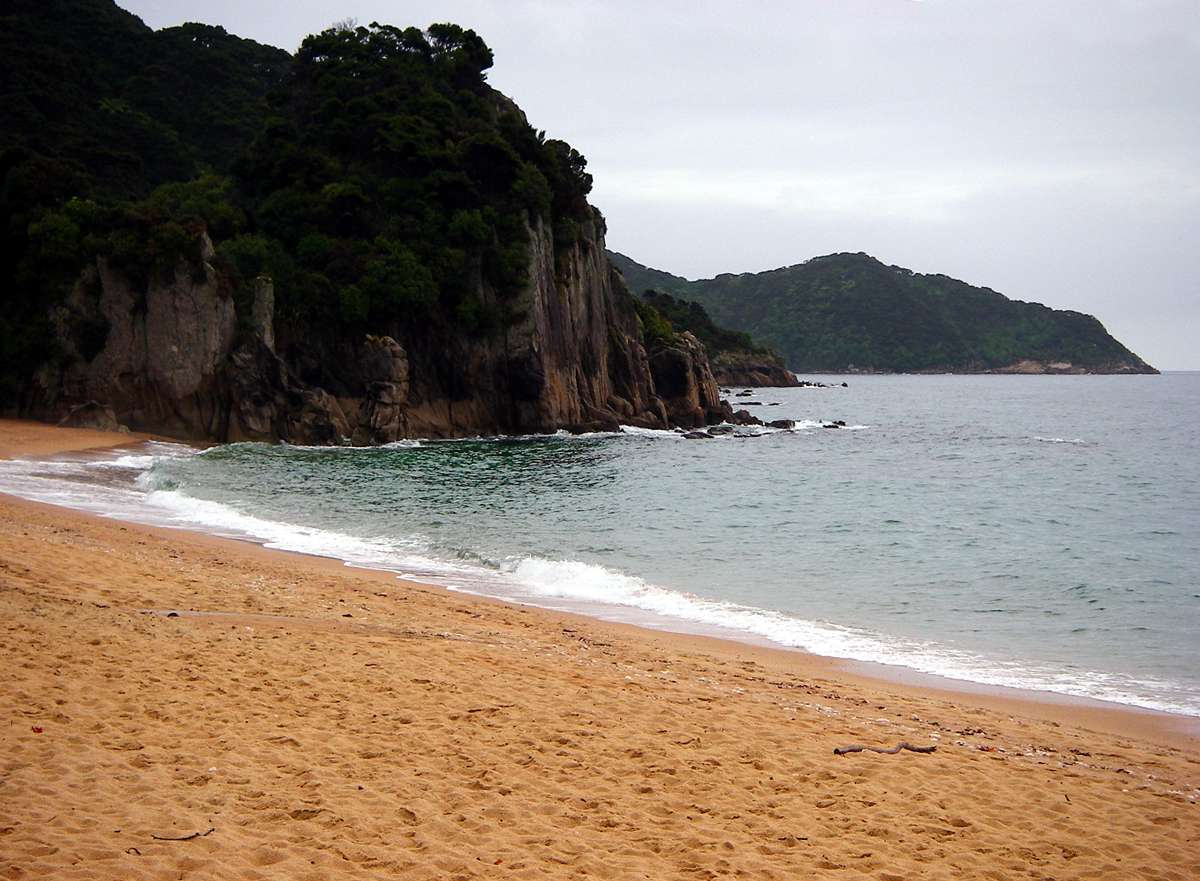
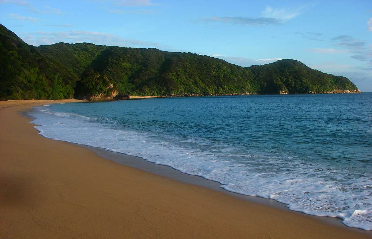
Medlands Beach was my objective for the day. Because of the sheltered position in Tasman bay, there was very little wave action.
Photo: Don Hitchcock January 2007
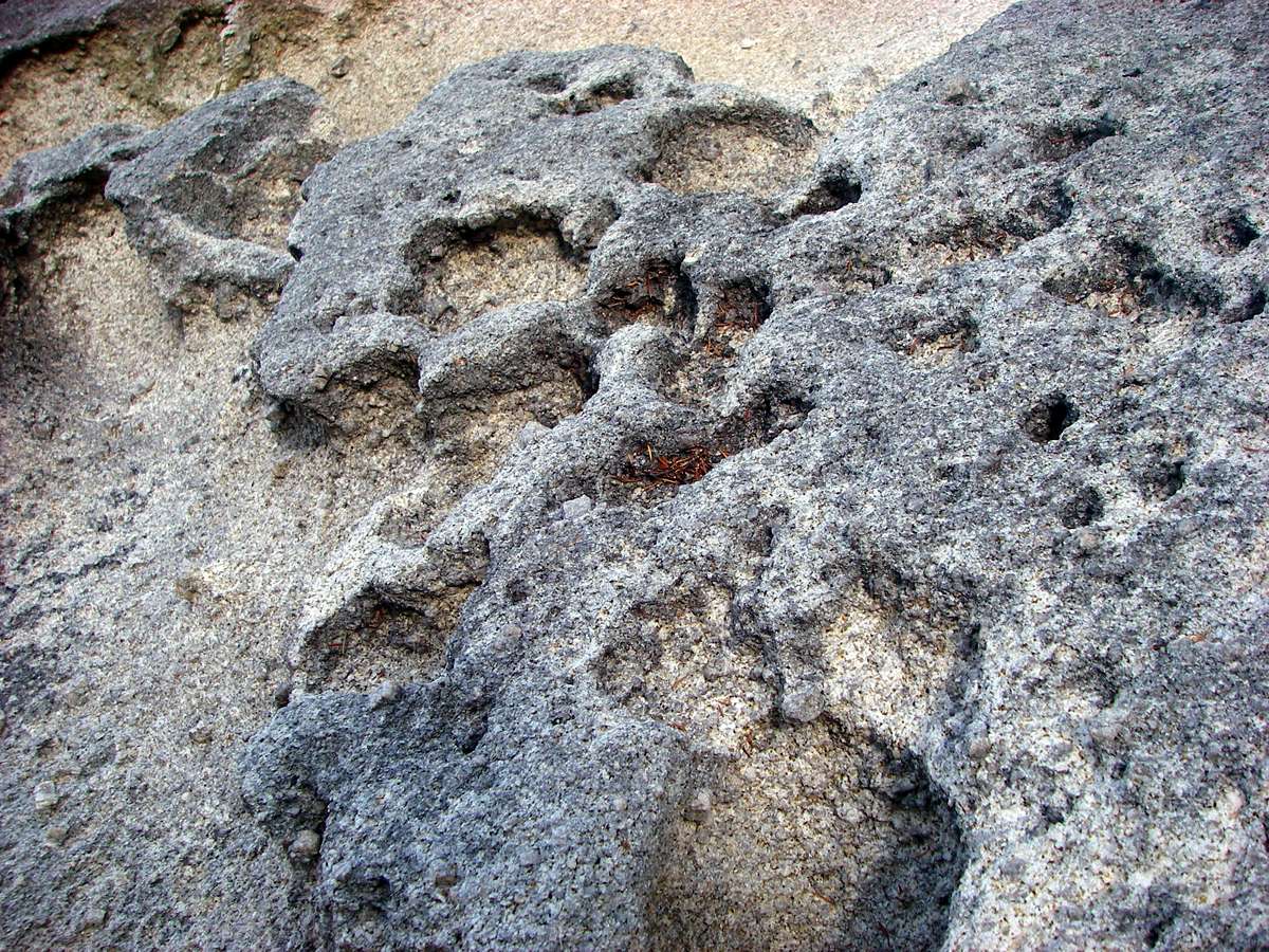
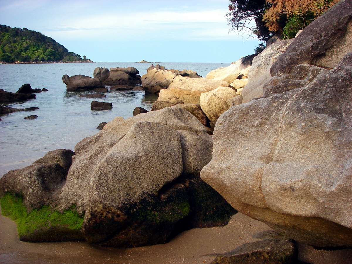
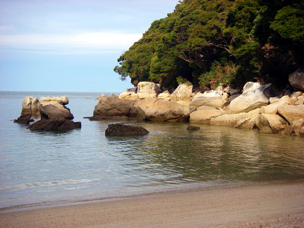
The granite rocks have been carved by the weather and the salt water.
Photo: Don Hitchcock January 2007
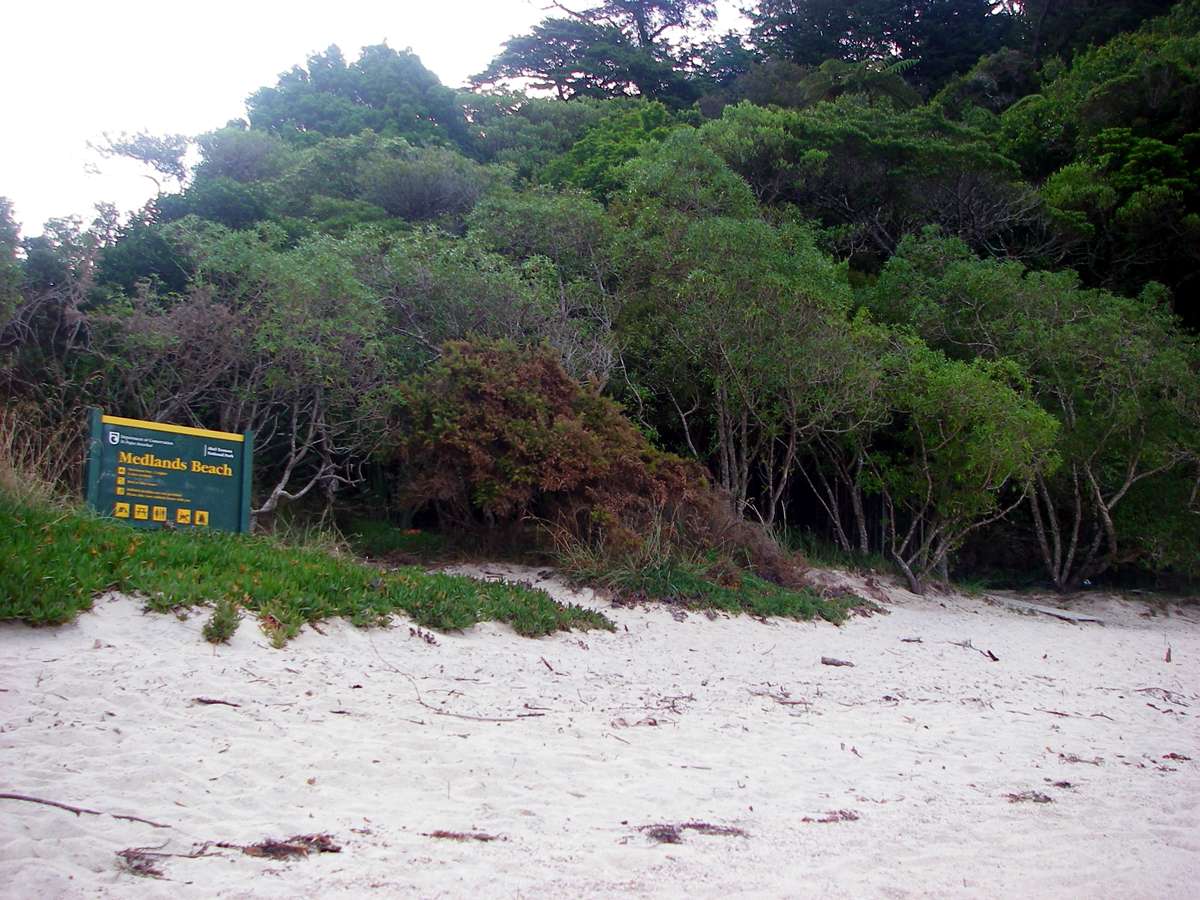
I camped in the Medlands Beach camping area, and had a good night's sleep apart from a possum chewing a hole in my tent, looking for food.
Photo: Don Hitchcock January 2007

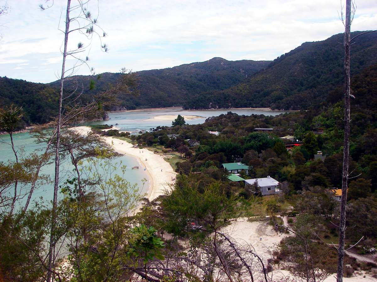
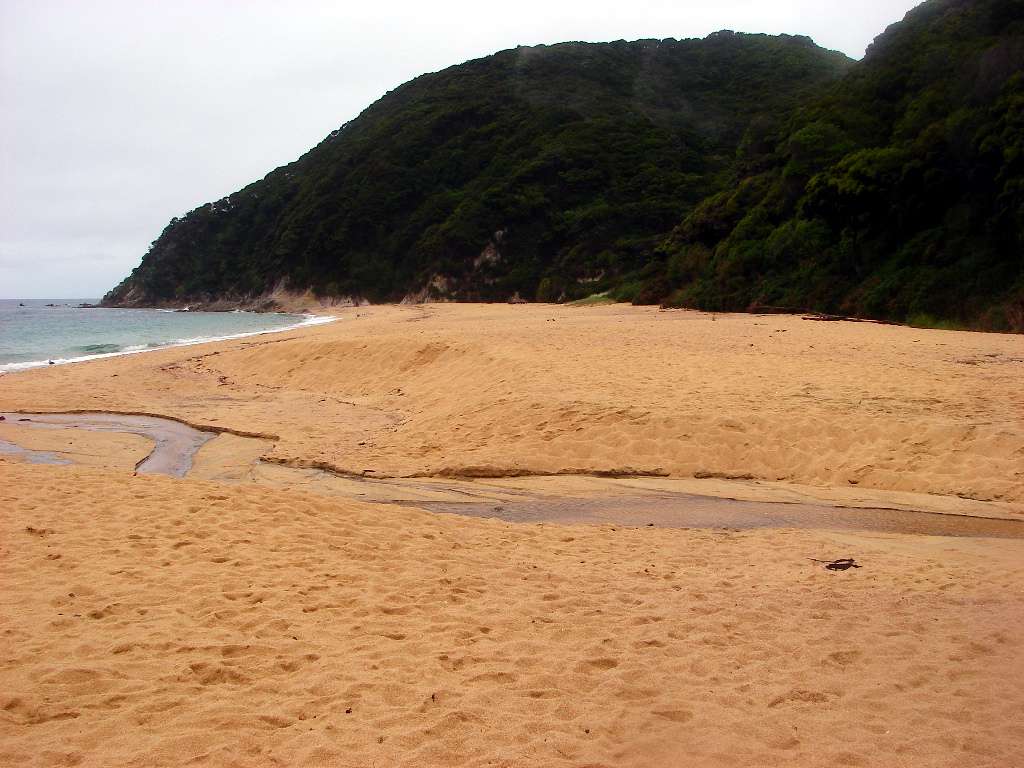
Next morning I set off early, and passed along Bark Bay beach, which has a small rocky island at the far end.
Photo: Don Hitchcock January 2007
Along the way I passed a waterfall, before getting to the end of the beach and taking this shot looking back down the beach to the island. I then took the track over the headland.
Photo: Don Hitchcock January 2007
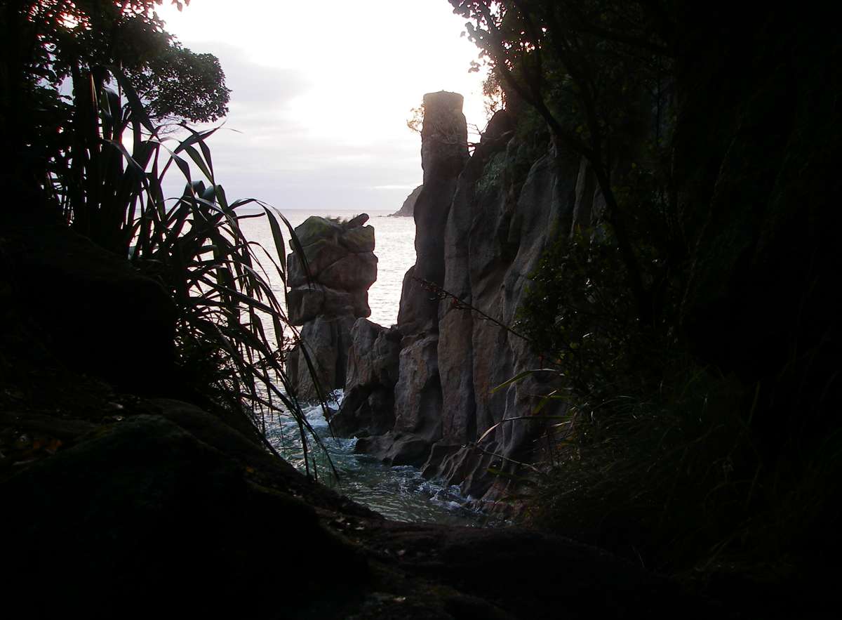
The weather was still moist, and sometimes the track was a little wet and slippery, as this shot shows.
Photo: Don Hitchcock January 2007

The granite was at one time mined for building, as this display board details.
Photo: Display board, Abel Tasman Track.
Onetahuti Beach was composed of coarse, reddish coloured sand.
Photo: Don Hitchcock January 2007
Looking back at Onetahuti Bay from the track over the headland to Awaroa.
Photo: Don Hitchcock January 2007
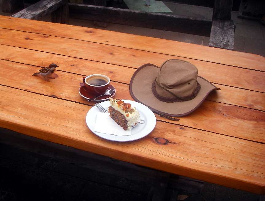
At Awaroa, I had a lovely break with coffee and cake, something you can rarely do in the middle of a bushwalk!
Photo: Don Hitchcock January 2007
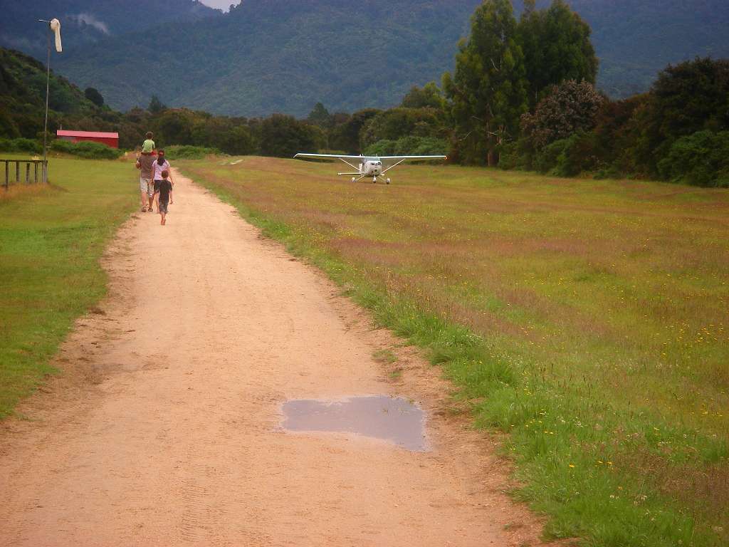
Walking on after getting some more water, I was surprised to see this plane landing right beside the track.
Photo: Don Hitchcock January 2007
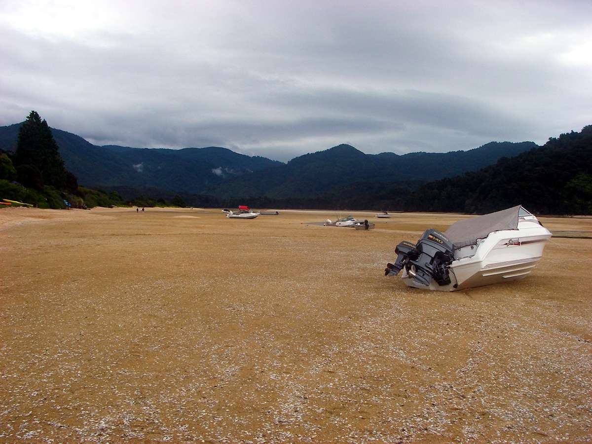
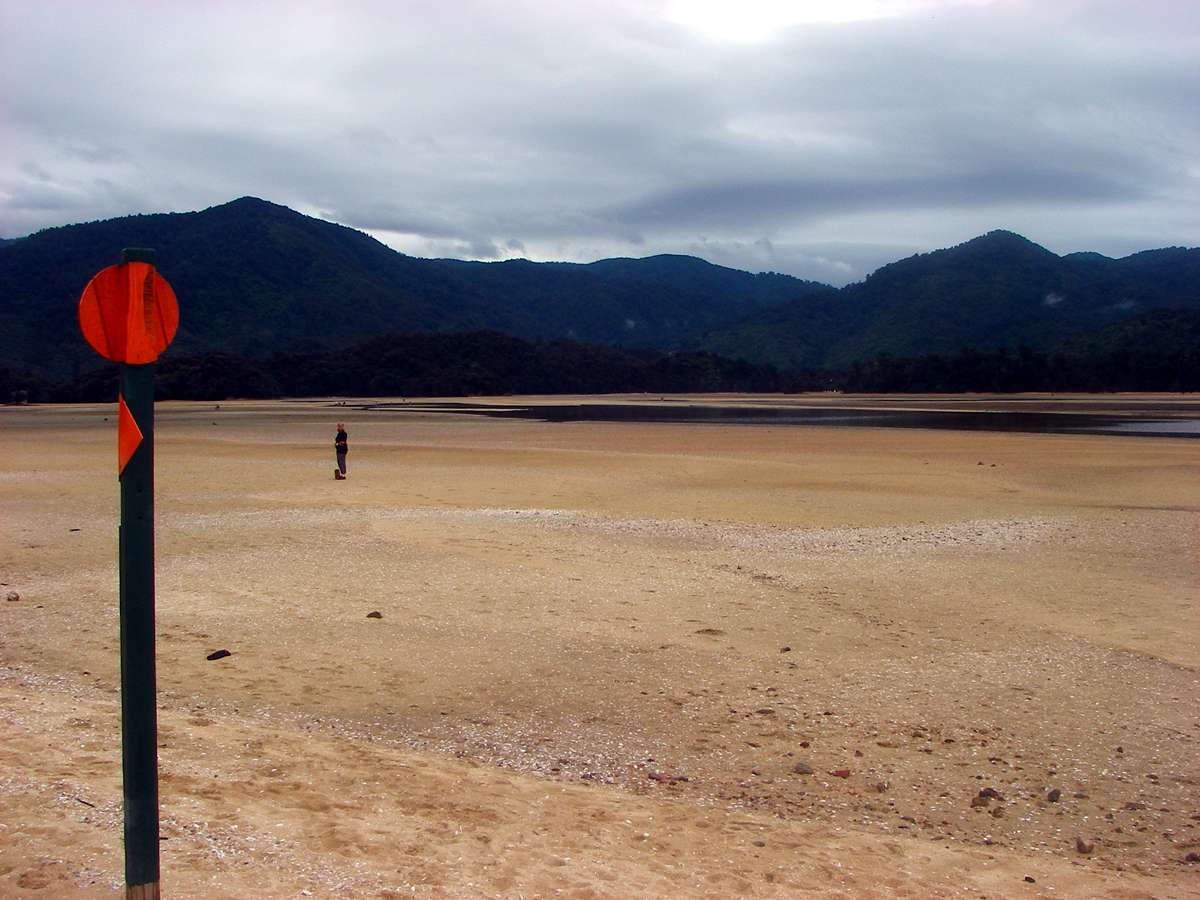
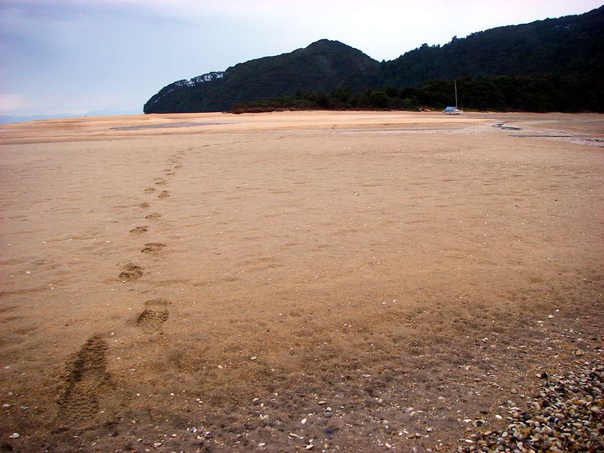
To go north from Awaroa, it is necessary to cross the sandy estuary during about three hours of low tide, an hour and a half before low tide, and two hours after. I had timed it well, getting to the estuary just before low tide.
Photo: Don Hitchcock January 2007
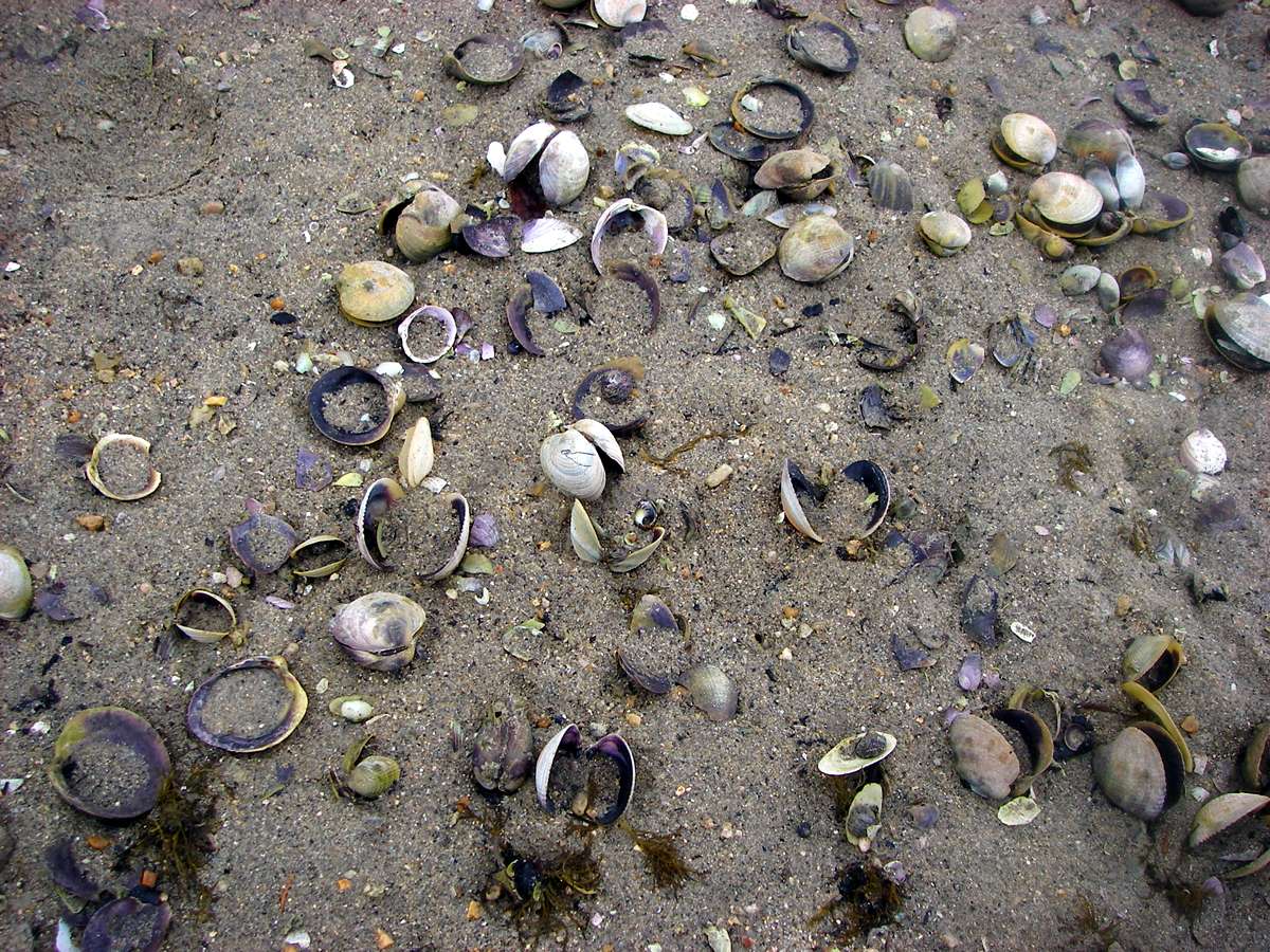
I was fascinated by the large numbers of shells. They must have been an important food resource for the Maoris before white settlement.
Photo: Don Hitchcock January 2007
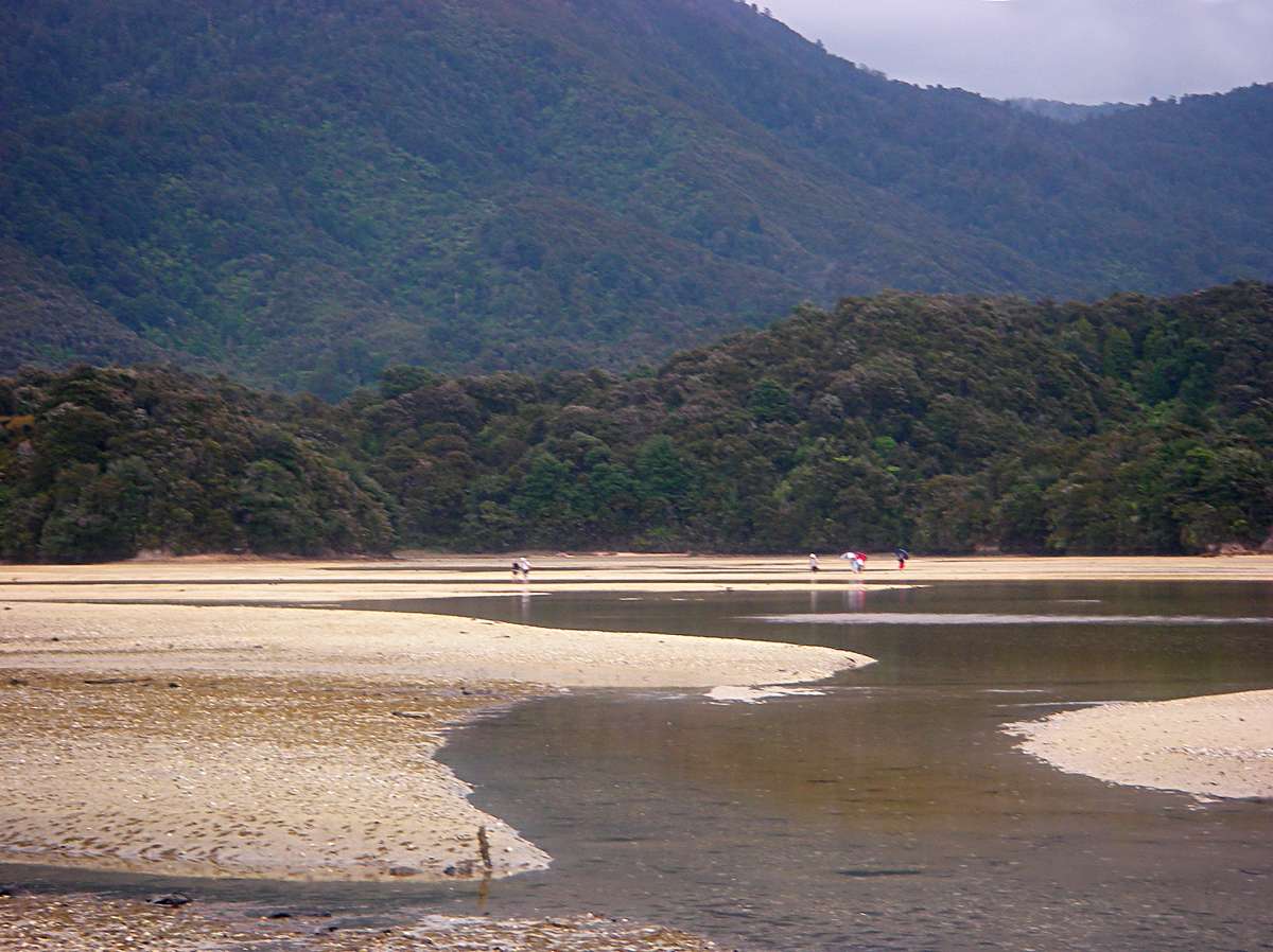
If you wanted to keep your boots dry, it was sometimes necessary to jump some channels. As can be seen from the people on the sand, it was still showering. If you want to go tramping or bushwalking or hiking in New Zealand, you can't wait for fine weather, you would never leave home!
I used an umbrella throughout the nine weeks I spent tramping in New Zealand. The only time I used my raincoat was one day when crossing a high pass, the Travers Saddle, and I put it on for wind protection.
Photo: Don Hitchcock January 2007
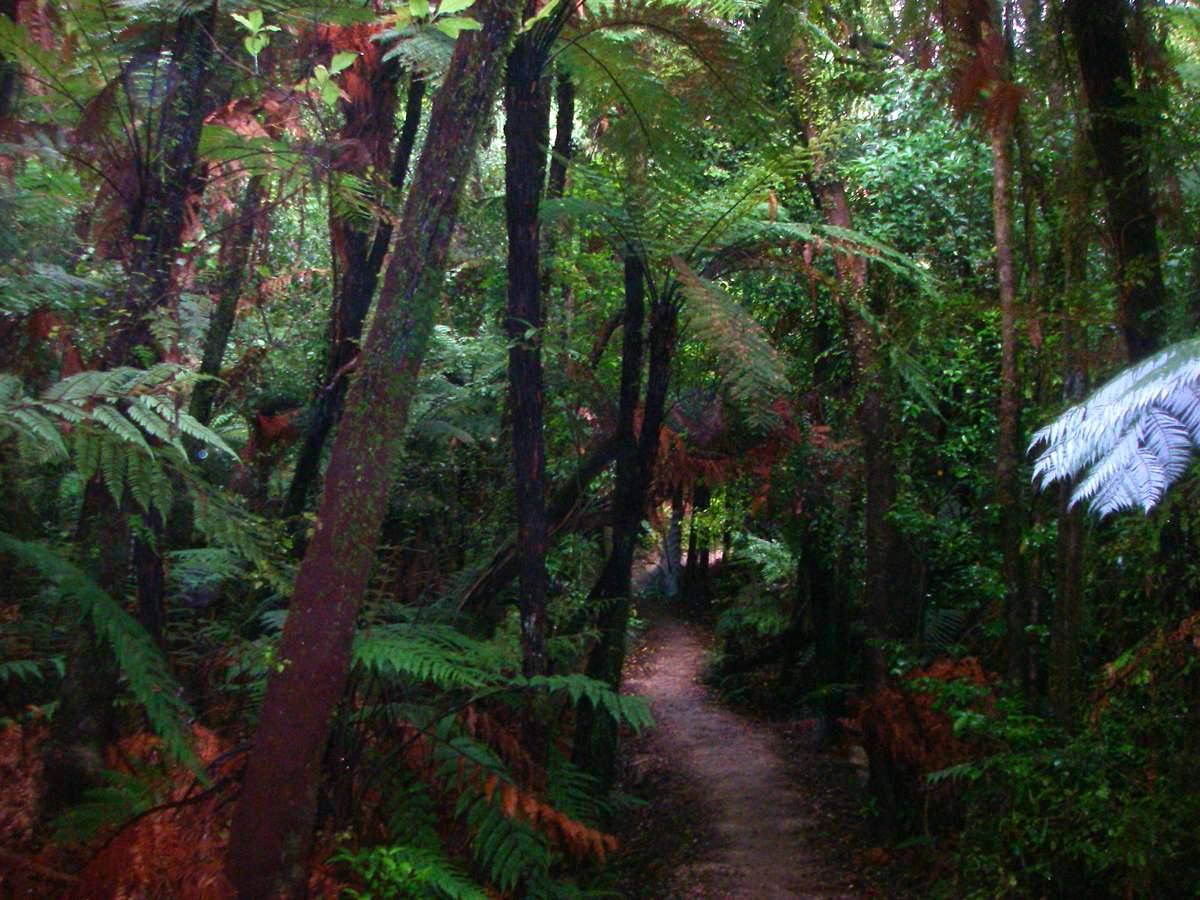
The lush vegetation and ever present ferns were a complete change from the dry sclerophyll forests of Australia. One problem was that for the first few days, whenever I saw the black stem of a palm beside the track, I thought it was a black snake, and it took some time before I stopped jumping back several feet whenever I encountered one!
This forest was on the track across the headland between Awaroa estuary and Waiharakeke Bay.
Photo: Don Hitchcock January 2007
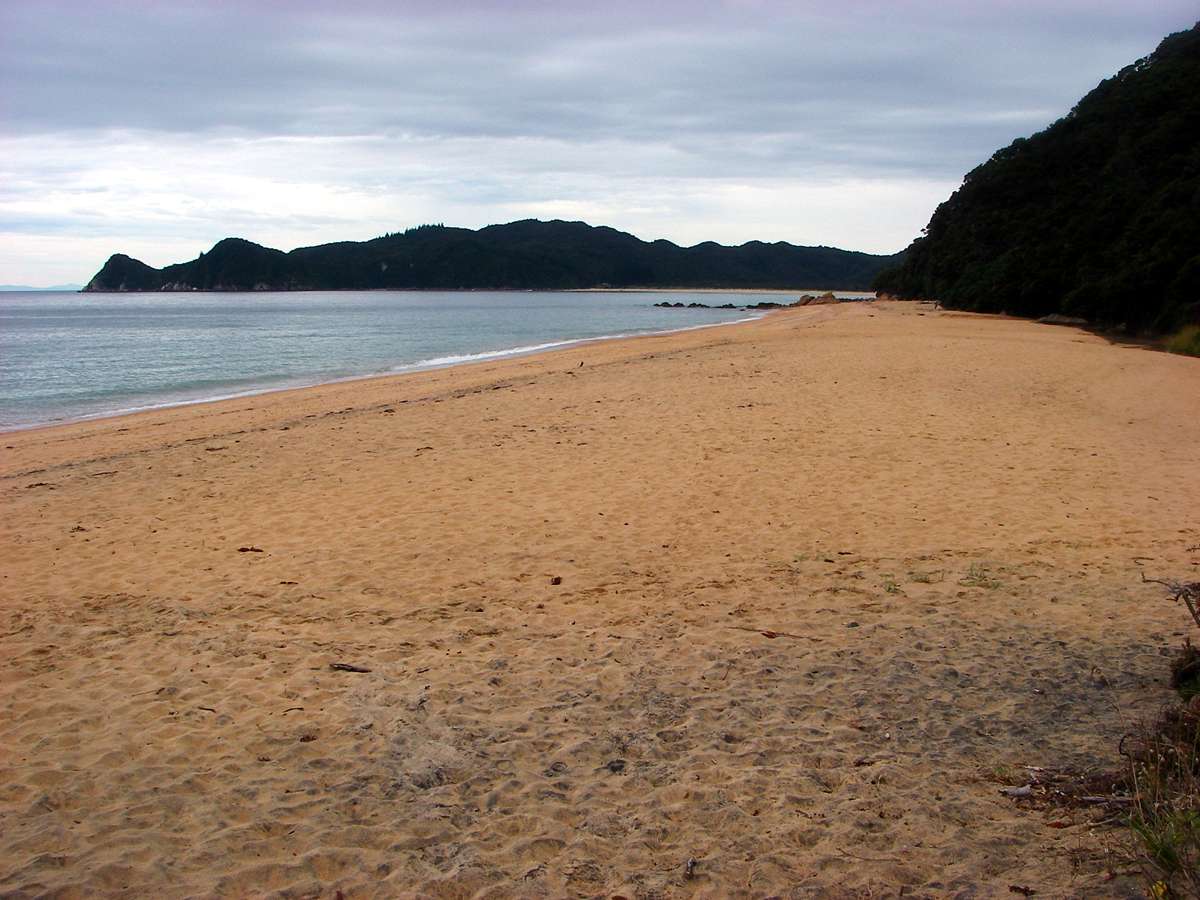
Waiharakeke Beach. There seem to be an endless number of beautiful beaches and bays in the Park.
Photo: Don Hitchcock January 2007
Looking down on the rocks of the headland between Waiharakeke and Goat Beach.
Photo: Don Hitchcock January 2007
Goat Beach.
Photo: Don Hitchcock January 2007
Anapai Beach, my destination for the night. I camped again, and this time a mouse got in the hole that the possum had chewed the night before, and I had quite a job to get rid of it from the tent.
Next day I sewed up the hole in the tent, since I had brought needle and thread, silnylon and silicone seam sealer with me for just such emergencies.
Photo: Don Hitchcock January 2007
Next morning I was packed and on the track just after six a.m. I have never been sorry for an early start, and sometimes been sorry I started late.
This is a lovely wall of rock at one end of Anapai Beach, with an exquisitely blue ocean around it. Note that there is a small swell building, as we get closer to the open sea and Separation Point, the cape between Tasman Bay and Golden Bay.
Separation Point is in the background, on the horizon, of this photo.
Photo: Don Hitchcock January 2007
A dramatic, and much photographed, wall of rock jutting out into the ocean at Anapai Beach.
Photo: Don Hitchcock January 2007
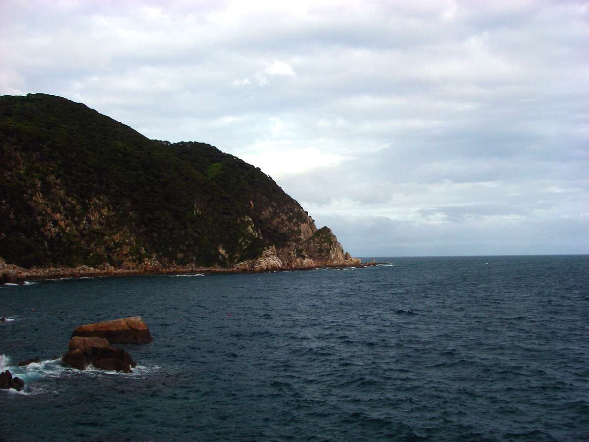
Separation Point, the cape between Tasman Bay and Golden Bay, shining in the early morning sun.
This was taken from the track leading to Mutton Cove, the bay with Separation Point as its northern end.
Photo: Don Hitchcock January 2007
Mutton Cove, with a gentle swell causing small waves to break on the shore.
Photo: Don Hitchcock January 2007
These birds looked like New Zealand Variable Oystercatchers. They have black plumage, and reddish orange beaks and legs. They feed on crabs, molluscs and worms, and use their beaks to open shells.
Photo: Don Hitchcock January 2007
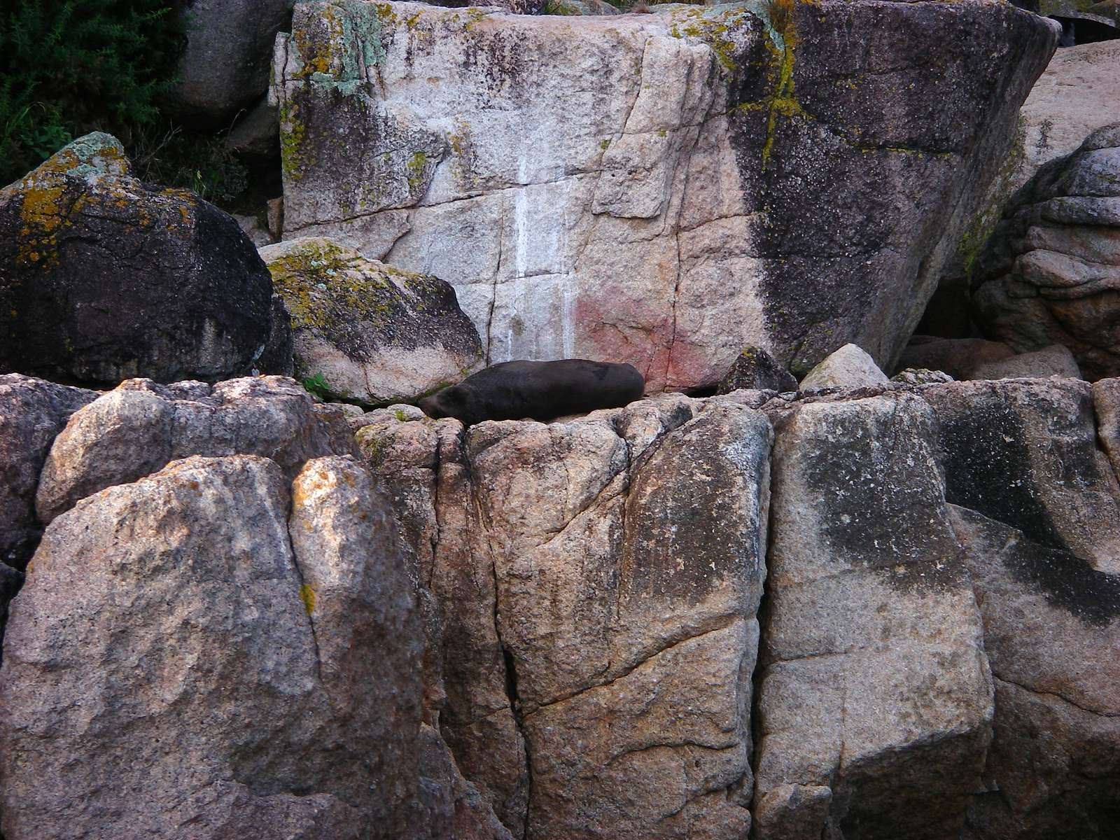
I came to a seal colony, reached by a steep path down the cliff below a very small weather station or GPS transmitter (?) near Separation Point.
Photo: Don Hitchcock January 2007
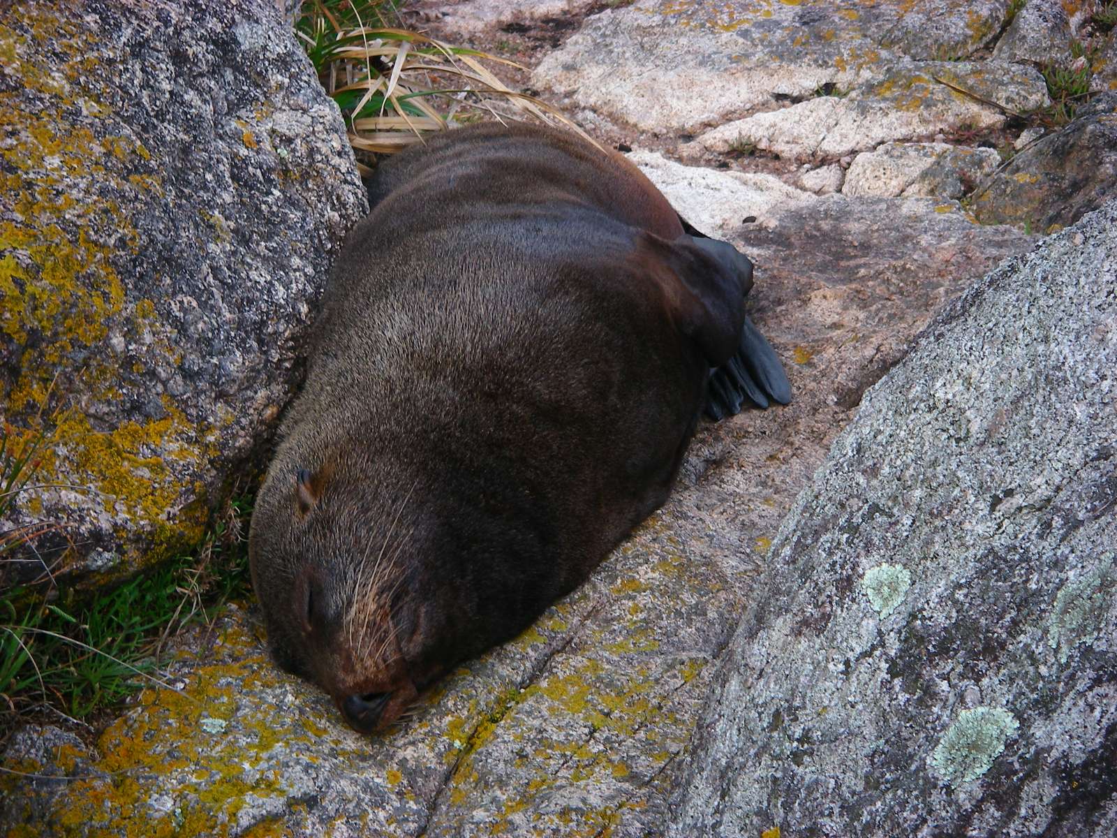
Seals don't seem to do much when they haul themselves out to rest on land, they just lie there asleep, oblivious to all around them, digesting the fish they have caught.
Photo: Don Hitchcock January 2007
Separation Point from near sea level at the seal colony.
Photo: Don Hitchcock January 2007
Back on top of the cliff line, the sun was starting to show its face again, and I got this lovely shot of Separation Point.
Photo: Don Hitchcock January 2007
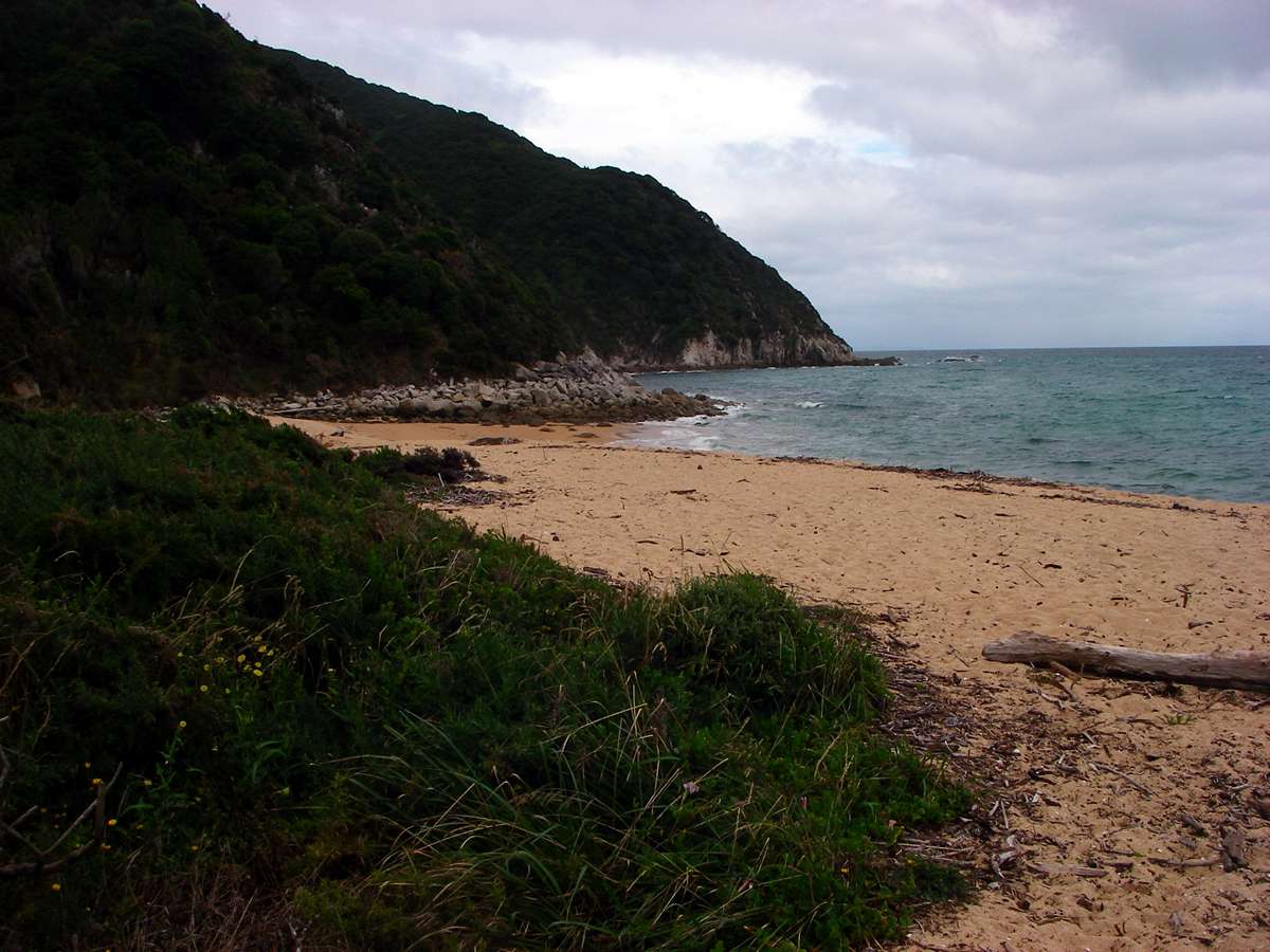
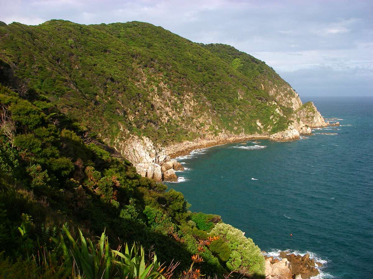
The track leads down to Whariwharangi Beach, on the other side of Separation Point, in the large Golden Bay.
Photo: Don Hitchcock January 2007
Whariwharangi Hut is set in a grassy, very pleasant area.
Photo: Don Hitchcock January 2007
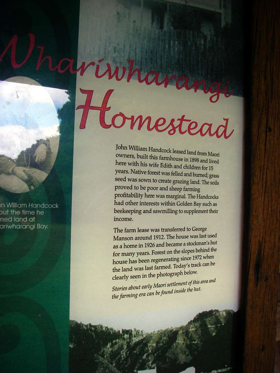
The sign reads, in part:
Whariwharangi Homestead
John William Handcock leased land from Maori owners, built this farmhouse in 1898 and lived here with his wife Edith and children for 15 years. Native forest was felled and burned, grass seed was sown to create grazing land. The soils proved to be poor and sheep farming profitability here was marginal. The Handcocks had other interests within Golden Bay such as beekeeping and sawmilling to supplement their income.
The farm lease was transferred to George Manson around 1912. The house was last used as a home in 1926 and became a stockman's hut for many years. Forest on the slopes behind the house has been regenerating since 1972 when the land was last farmed.
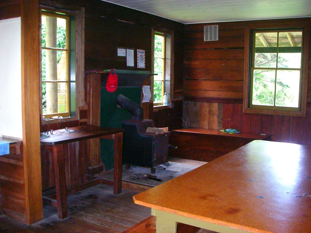

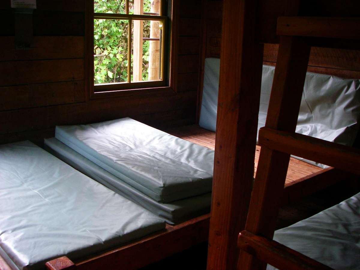
The accommodation in the hut is typical of that in other huts in the great walks tramping system. The huts and their equipment work very well indeed. After I finished this tramp on the Abel Tasman track, I used the huts, and posted my tent home, as it was no longer needed.
Photo: Don Hitchcock January 2007
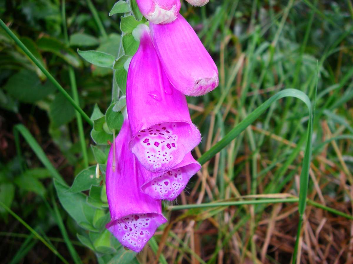
Foxglove growing wild, possibly a garden escape from the homestead.
Photo: Don Hitchcock January 2007
Wainui Bay from the track. My feet were now very sore indeed after the pounding from the hard track over three days, and the collapse of the foam inners. I was going to have to do something about the problem before I continued on to the Heaphy Track.
Photo: Don Hitchcock January 2007
This is an excellent representation of the last part of the Abel Tasman Track. I rang the bus company when the scheduled bus did not arrive at the waiting shed, and they said that the bus had burned out its brakes coming over the mountain back to Takaka. A replacement bus eventually turned up, and I was able to get to civilisation.
Photo: Don Hitchcock January 2007
I found a backpackers at Takaka, and went looking for something to use inside my boots. I managed to get a used motorcycle tyre, bought some contact cement, and made up eight foot sized inners, based on the existing shape of the failed inners. I glued four together for each boot, and this worked reasonably well, and got me through the Heaphy track, until I found a more permanent solution using a pair of thongs I bought at Karamea.
Photo: Don Hitchcock January 2007
Bushwalking, Hiking and Tramping in New Zealand
Bushwalking Index