Back to Don's Maps
 Bushwalking Index
 Dangars Falls and Salisbury Waters
Click on the photos to see an enlarged version
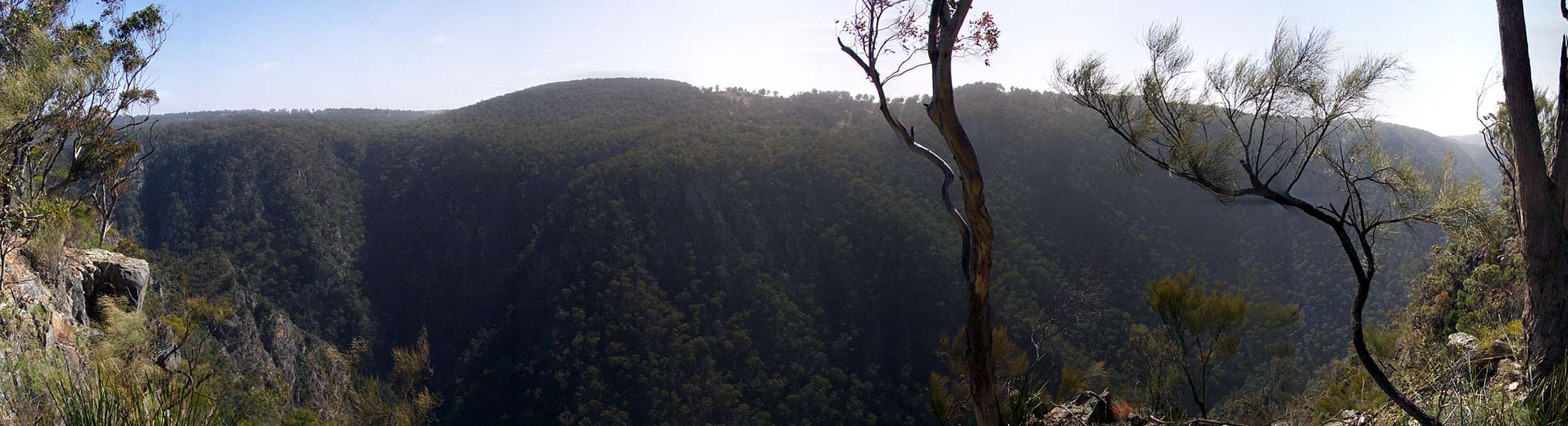
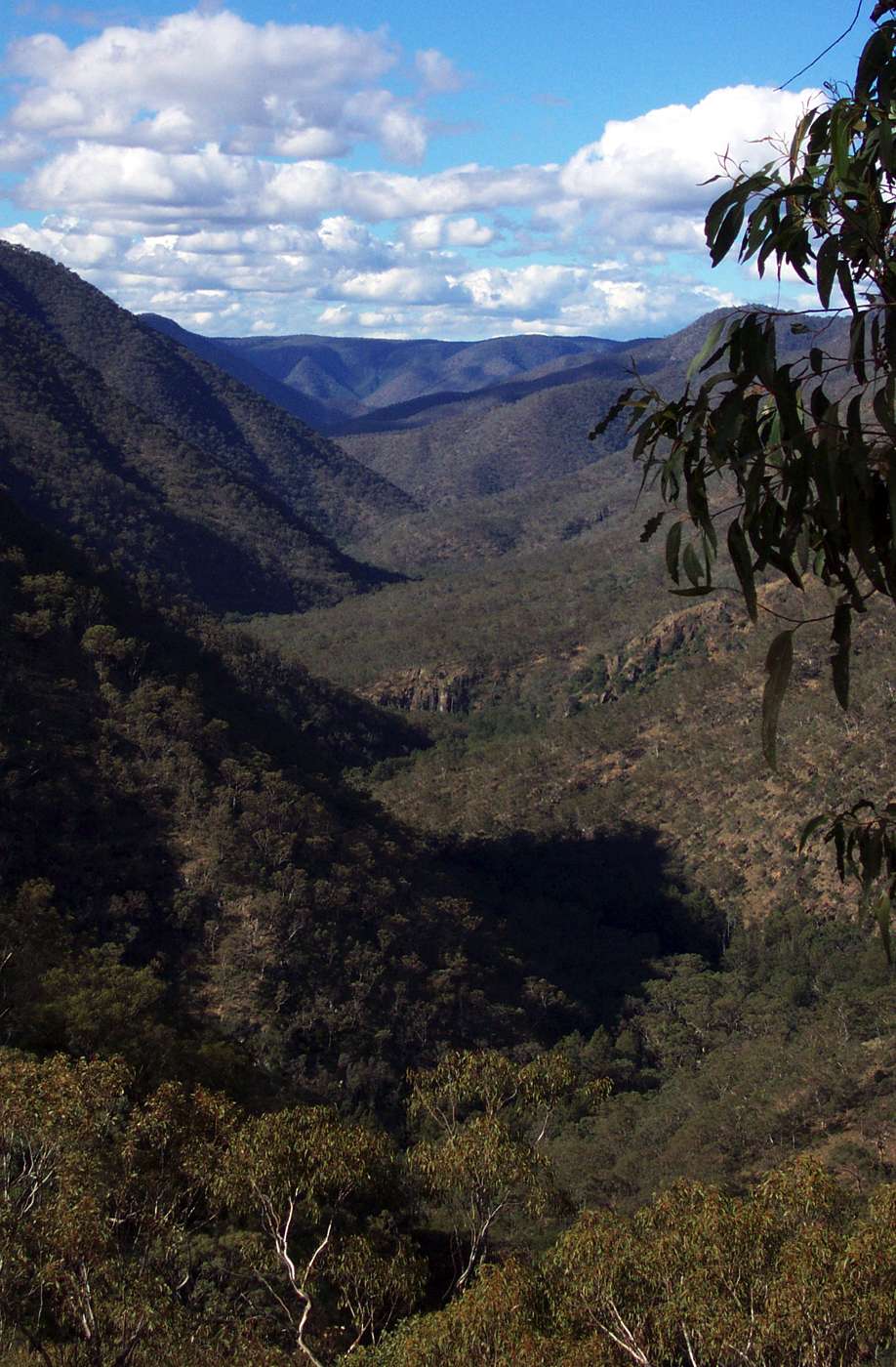
Rock Wallaby Lookout Panorama
August 2004
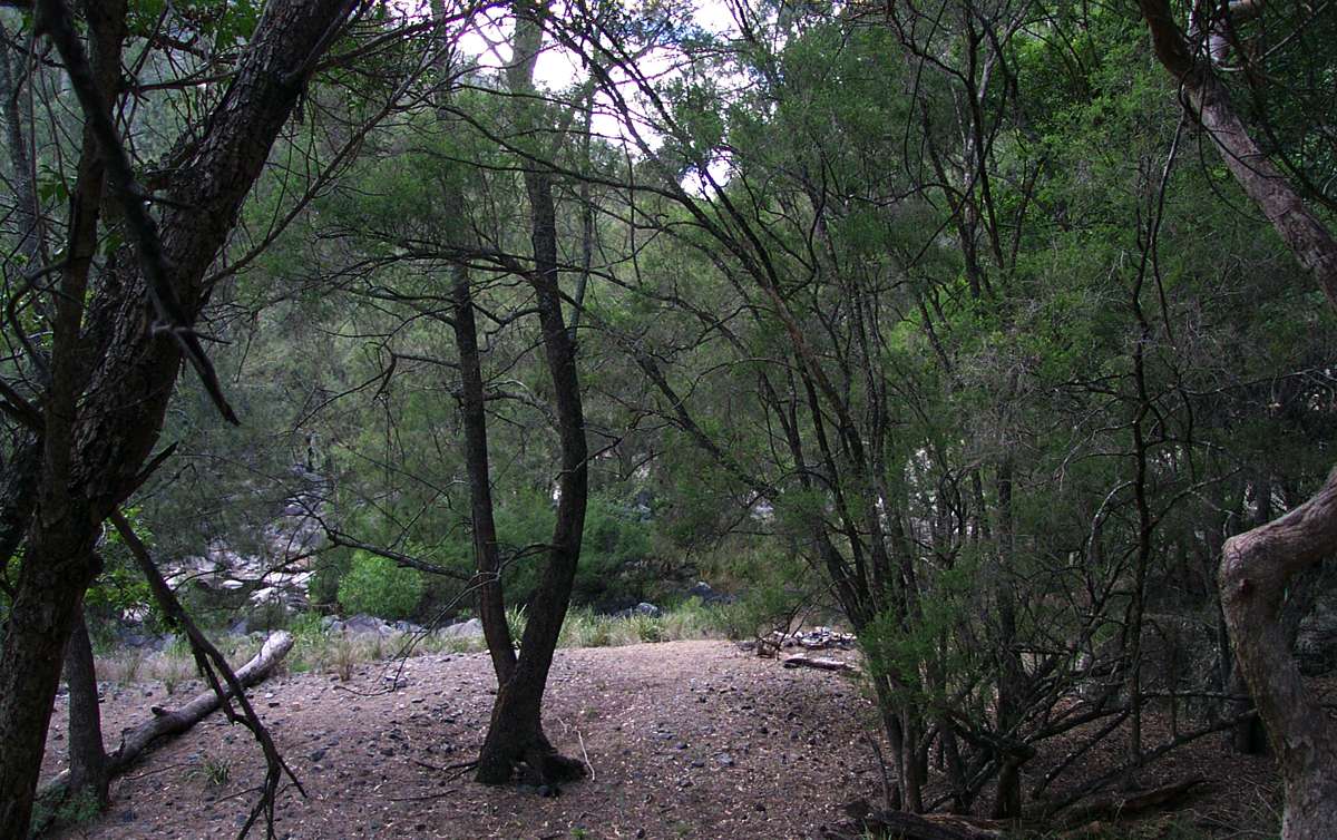
This is one of the easiest ways into the gorge country, catering for all levels of fitness and interest. There are easy to moderately difficult walks to the Falls Lookout on the other side of Salisbury Waters, and to Lookouts such as Rock Wallaby Lookout.
Adapted from Wikipedia:
These track notes and photos are for the interest of armchair travellers only, and do not constitute comprehensive instructions for bushwalkers.
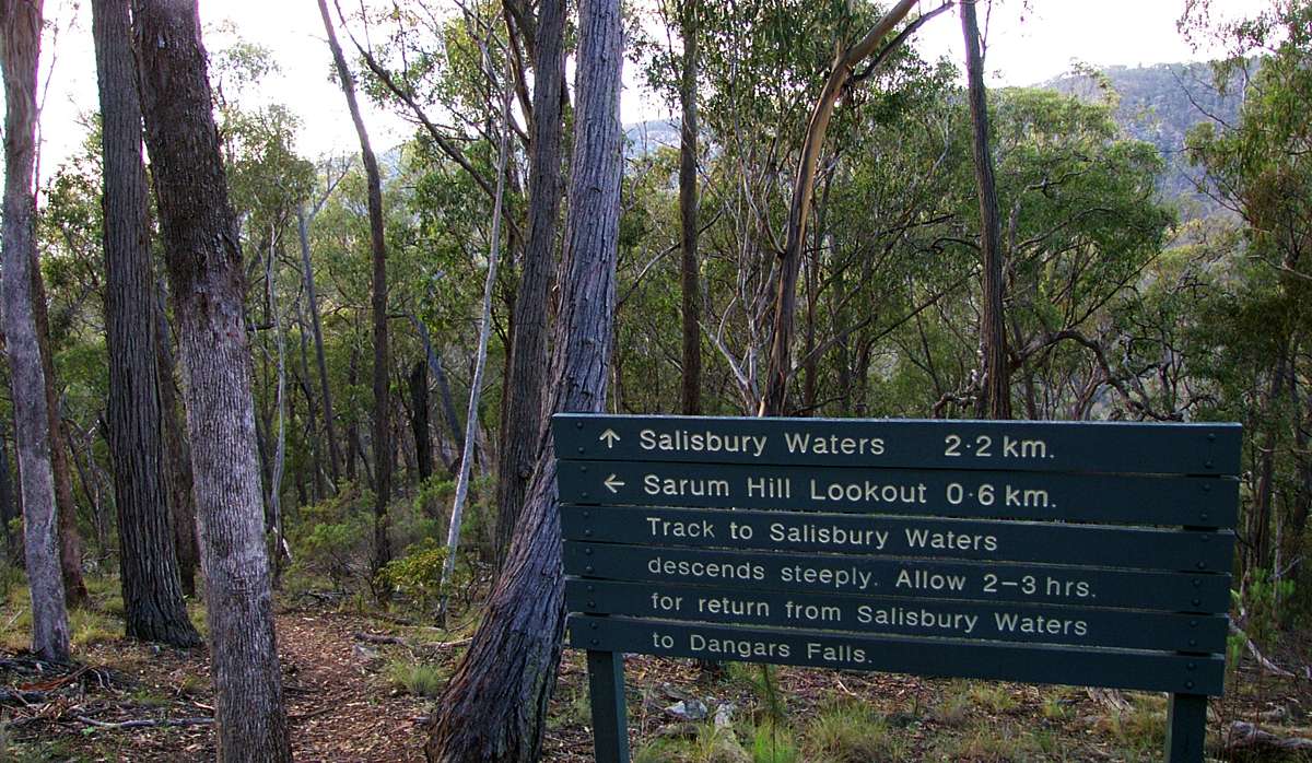
From the carpark at Dangars Gorge, cross the river and follow the track to the lookout above the falls (1.4 kilometres return), and Rock Wallaby Lookout (2.1 kilometres return). The track follows the gorge rim along a ridge to McDirtys Lookout (6.9 kilometres return). There are good places for picnics, camping and bushwalking. Salisbury Waters Walk - 14 km, 8 hours, difficult. This walk is an excellent introduction to gorge bushwalking, and can be undertaken in one strenuous or two leisurely days. From Dangars carpark cross the river (if the river is high do not attempt to cross), and follow the track past the turn off to McDirtys, heading out along the ridge as sign-posted past the Sarum Hill Lookout turnoff (10.7 kilometres return), [stay on the main track to Salisbury Waters or return to it if you have a look at Sarum Lookout] then descending 500 m to Salisbury Waters via the made track (14 kilometres return). [While enjoyable for fit walkers, most will have sore legs the next day if they have not done much ridge walking recently.]
The trip to "Beautiful Pool" is for very fit, very experienced and well prepared bushwalkers only. There is no track for most of the way, it is very strenuous, and bush craft, topographical maps and compass are required. Sufficient water and food and survival equipment should be carried, and an overnight camp is necessary for which sufficient appropriate equipment should be carried. Always carry a Personal Locator Beacon, and tell reliable people where you are going and how long your party will be away. Mobile phones do not work anywhere in the gorges for sure, and almost never even on top of the cliff line.
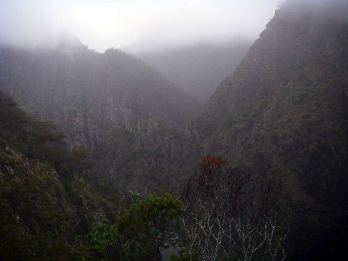
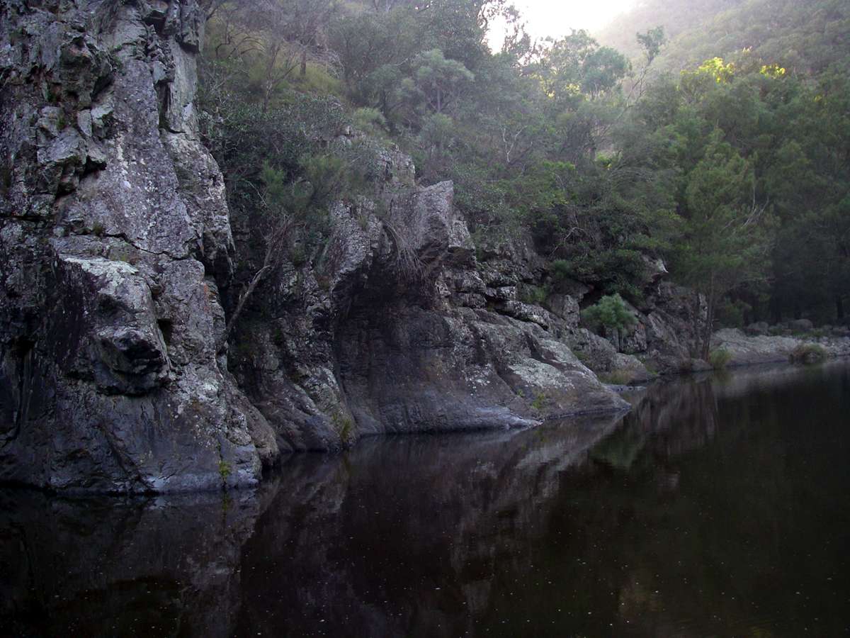
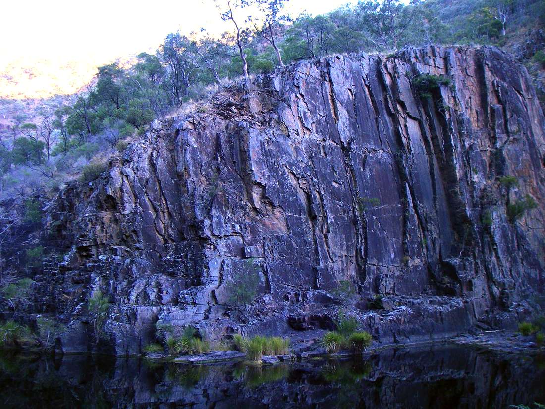
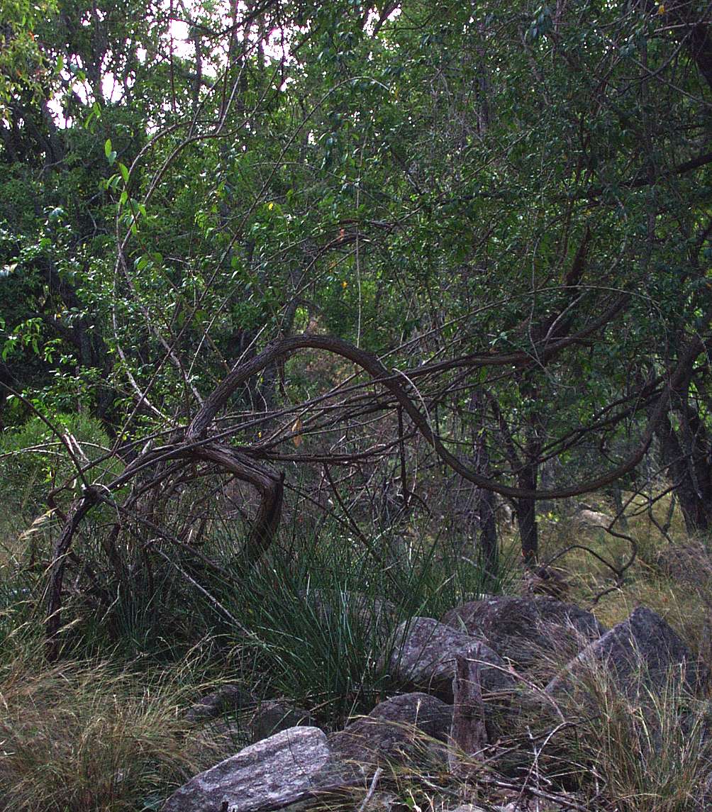
Dangars Gorge.
Taken from the tourist walk to a lookout on a misty morning.
November 2008
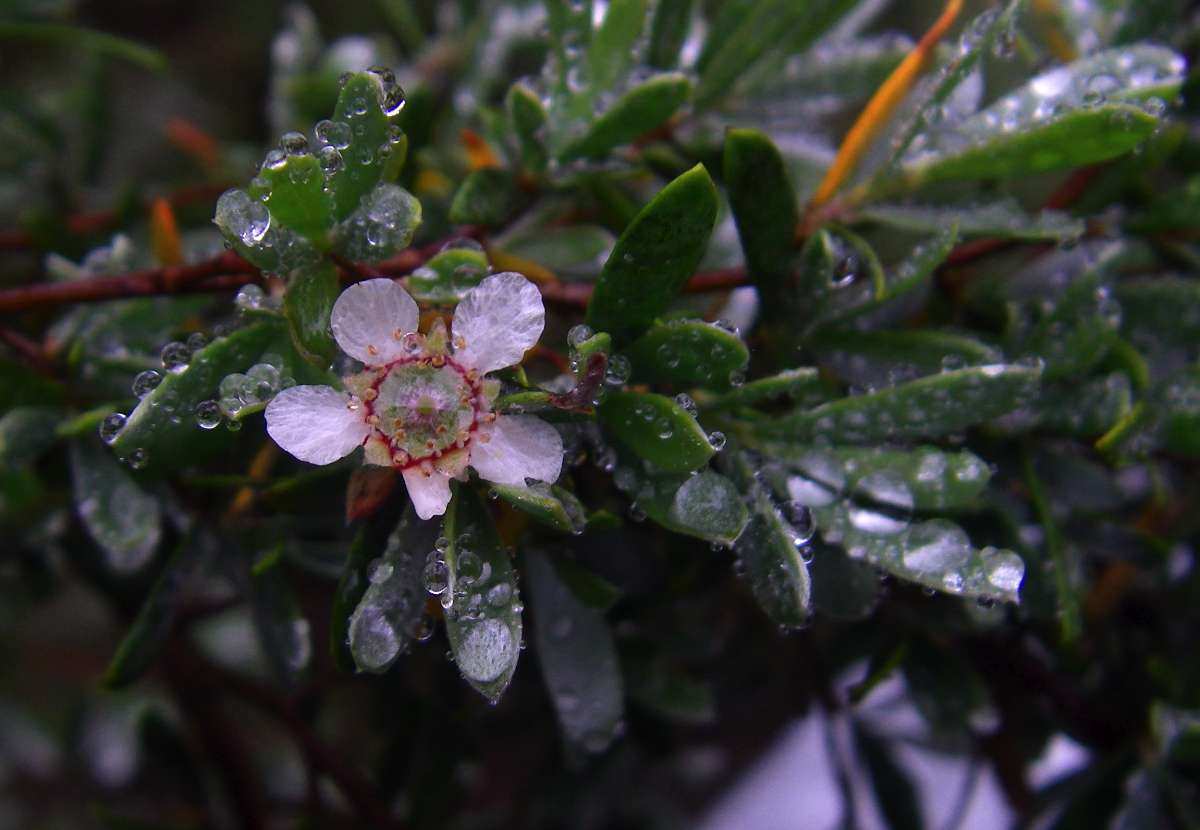
Leptospermum brevipes beside the same lookout track.
November 2008
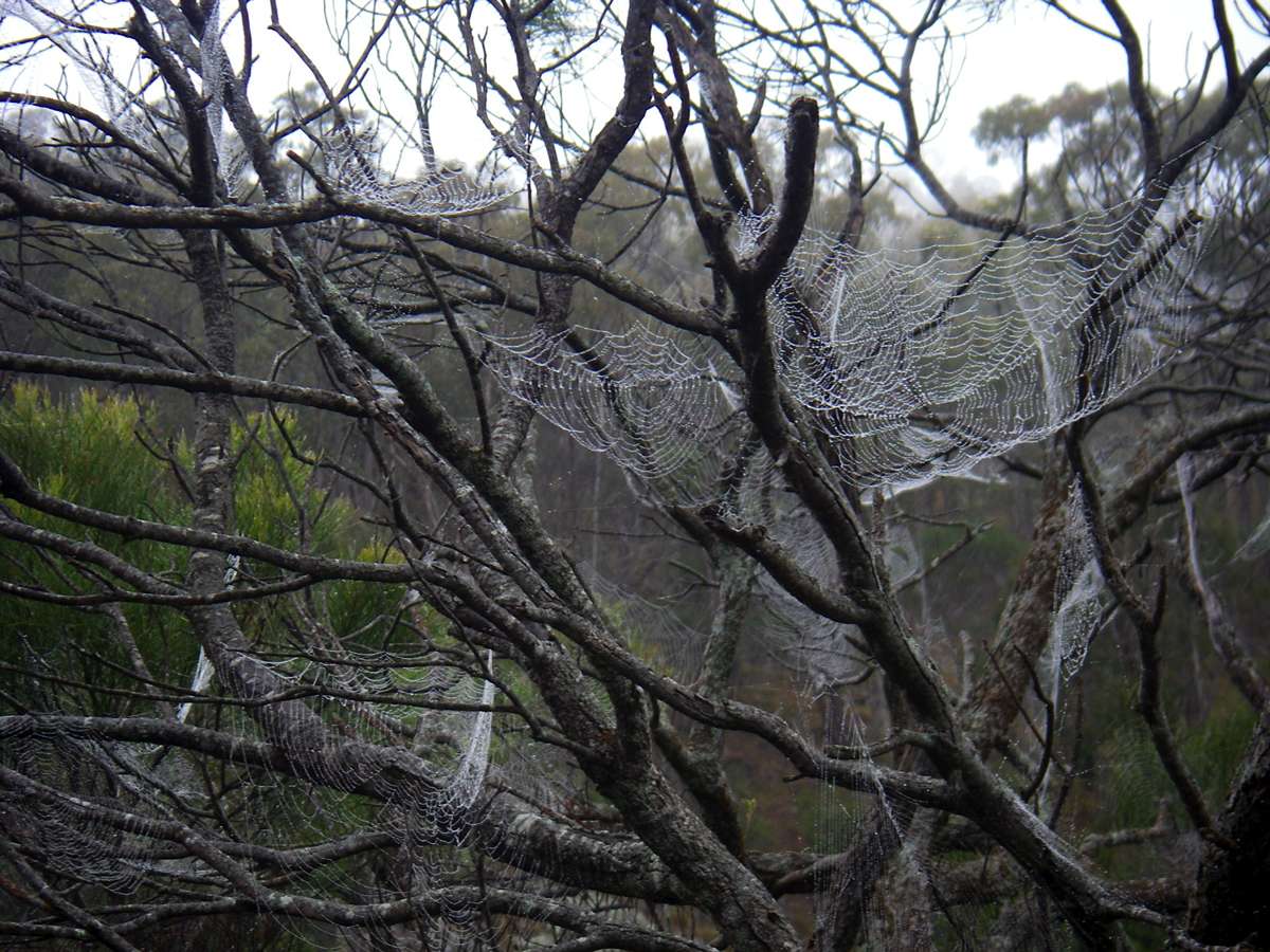
This tree was carrying many spiderwebs outlined in dew from the cloud which hung over the area until past 11 am.
November 2008

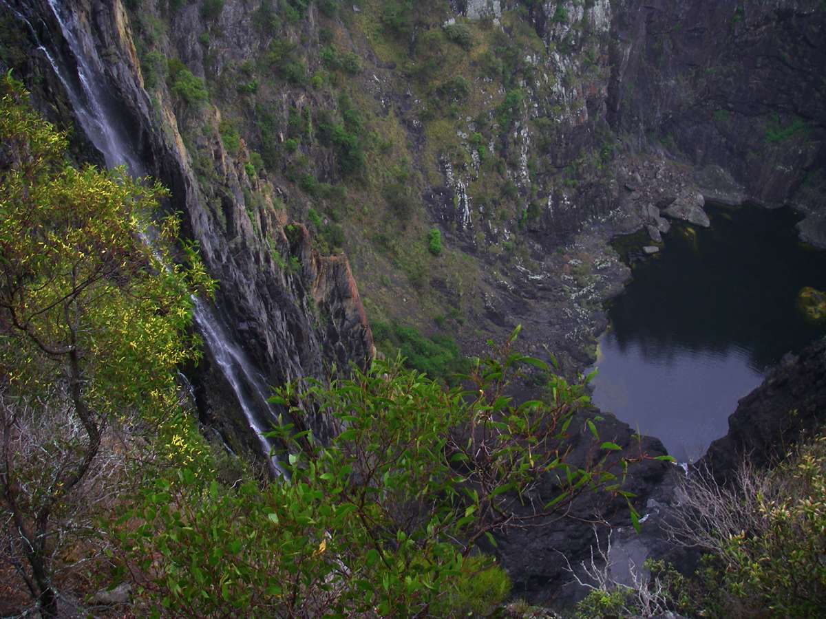
Dangars Falls.
At this time there was a lot of water in the gorge system after heavy rains during the summer of 2007/2008.
January 2008
Normally there is much less water coming over the falls, as shown in this photo.
November 2008
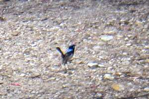
A gorgeous little male "Superb Blue Wren" on the track not far from the bridge over Salisbury Waters at the start of the walk. A triumph of will and chutzpah over substance.
Gritty little fellers. This is as close as I could get, unfortunately.
February 2008
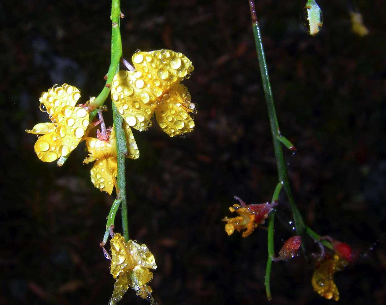
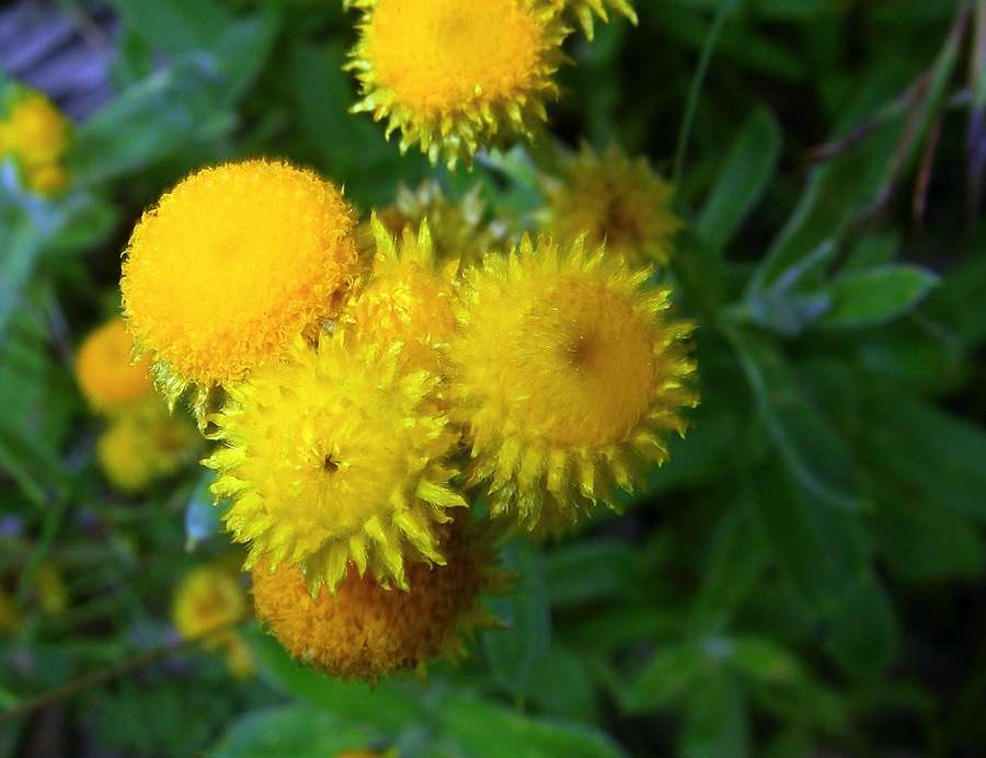
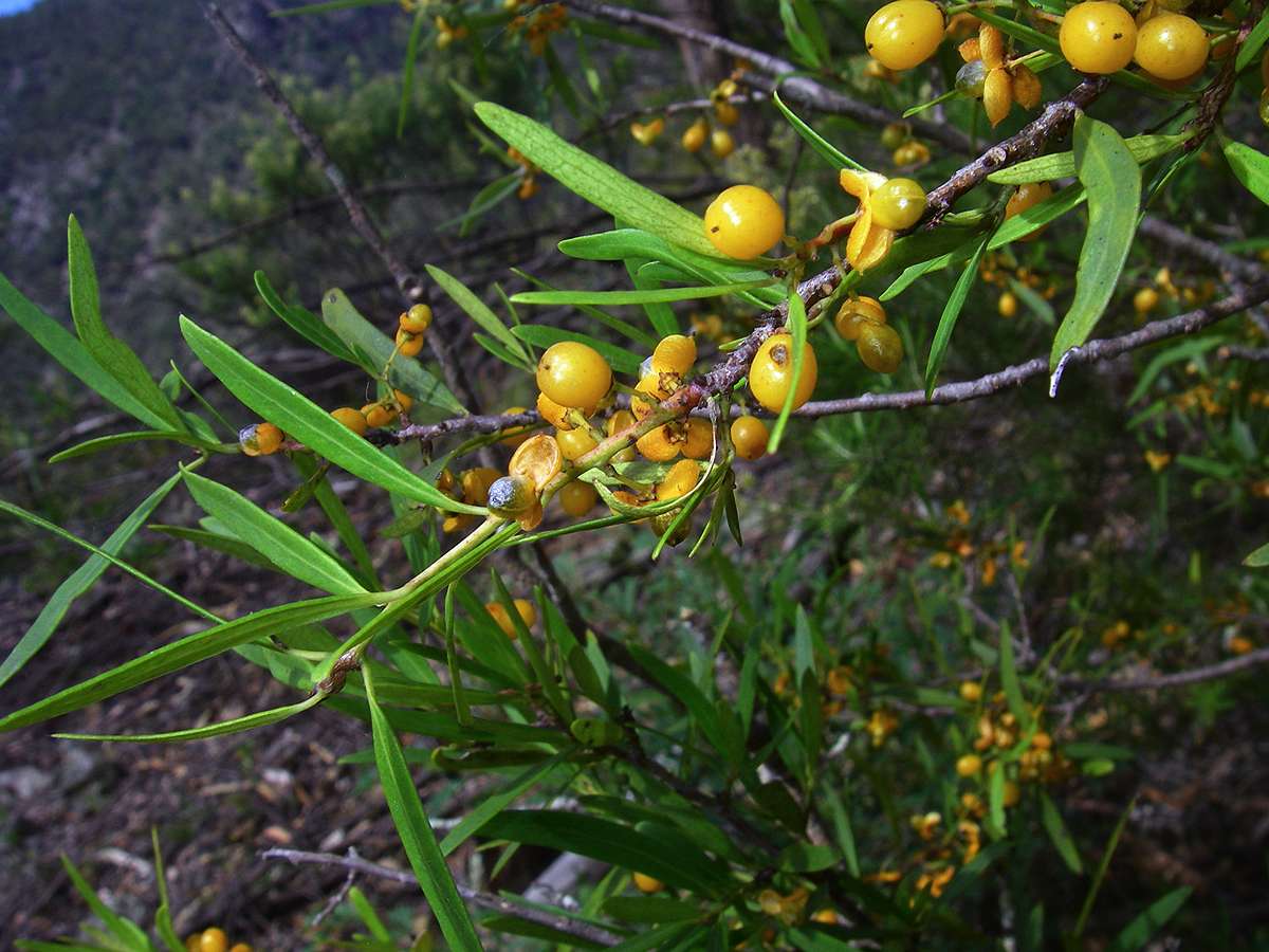
Jacksonia scoparia flowers only in November in this area.
November 2008

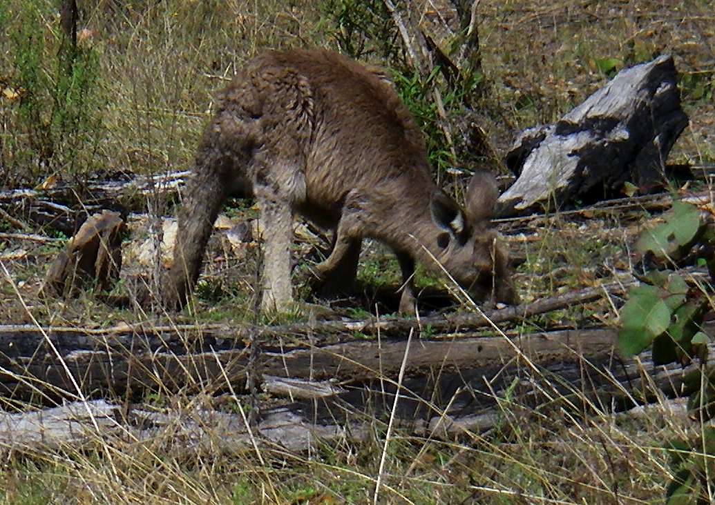
Kangaroos near the track.
In general the marsupials are larger on top of the gorge rim than in the gorge system itself.
(Left) January 2008, (Right) November 2008
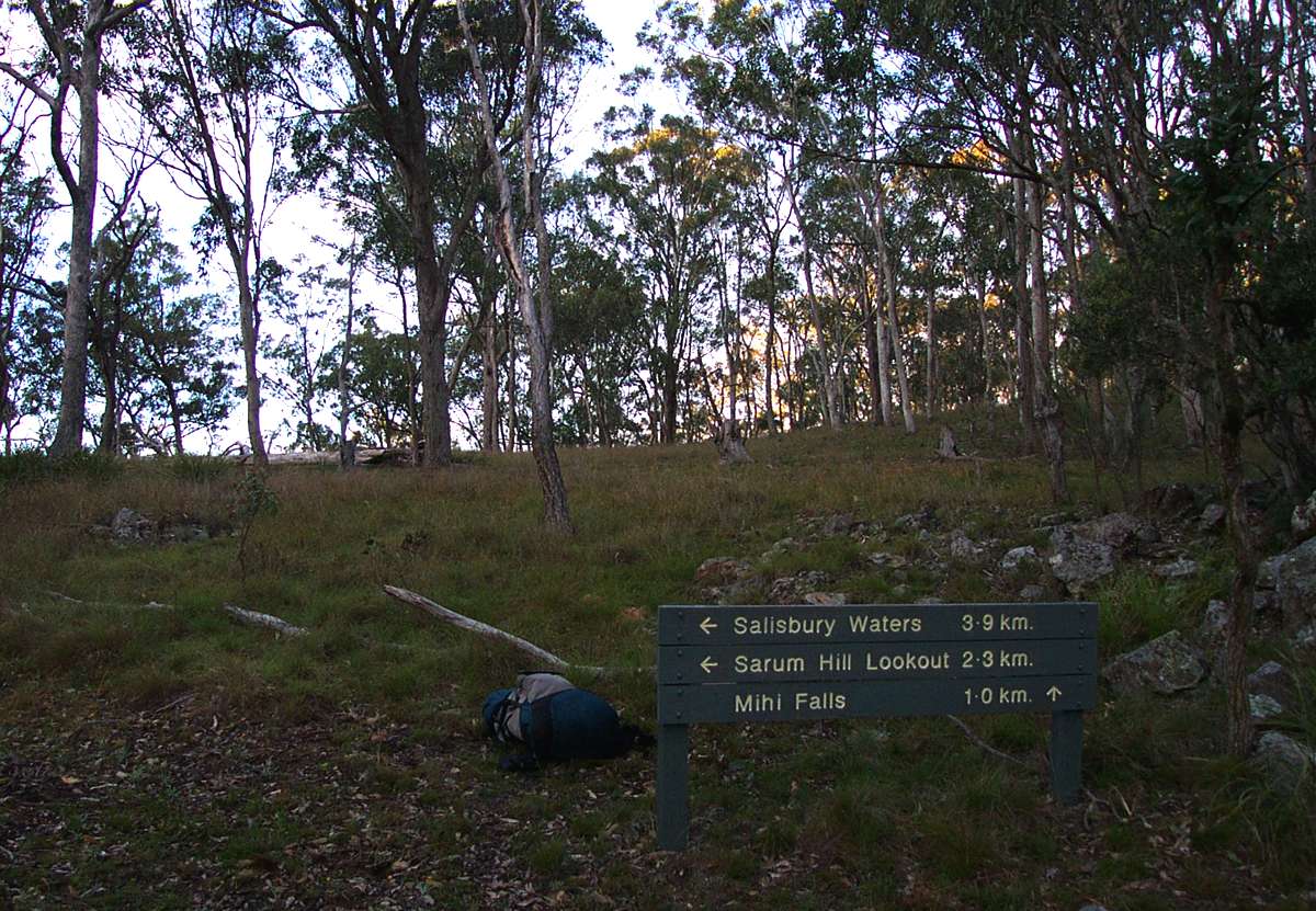
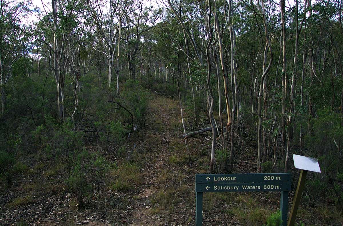
The Salisbury Waters track is well signposted. The side track to Mihi Falls does not involve any climbing.
May 2003
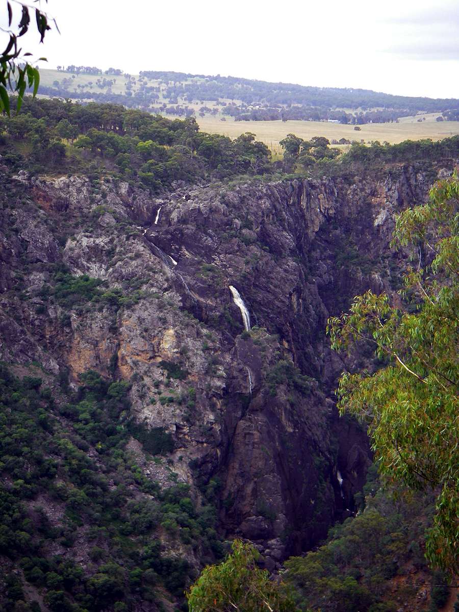
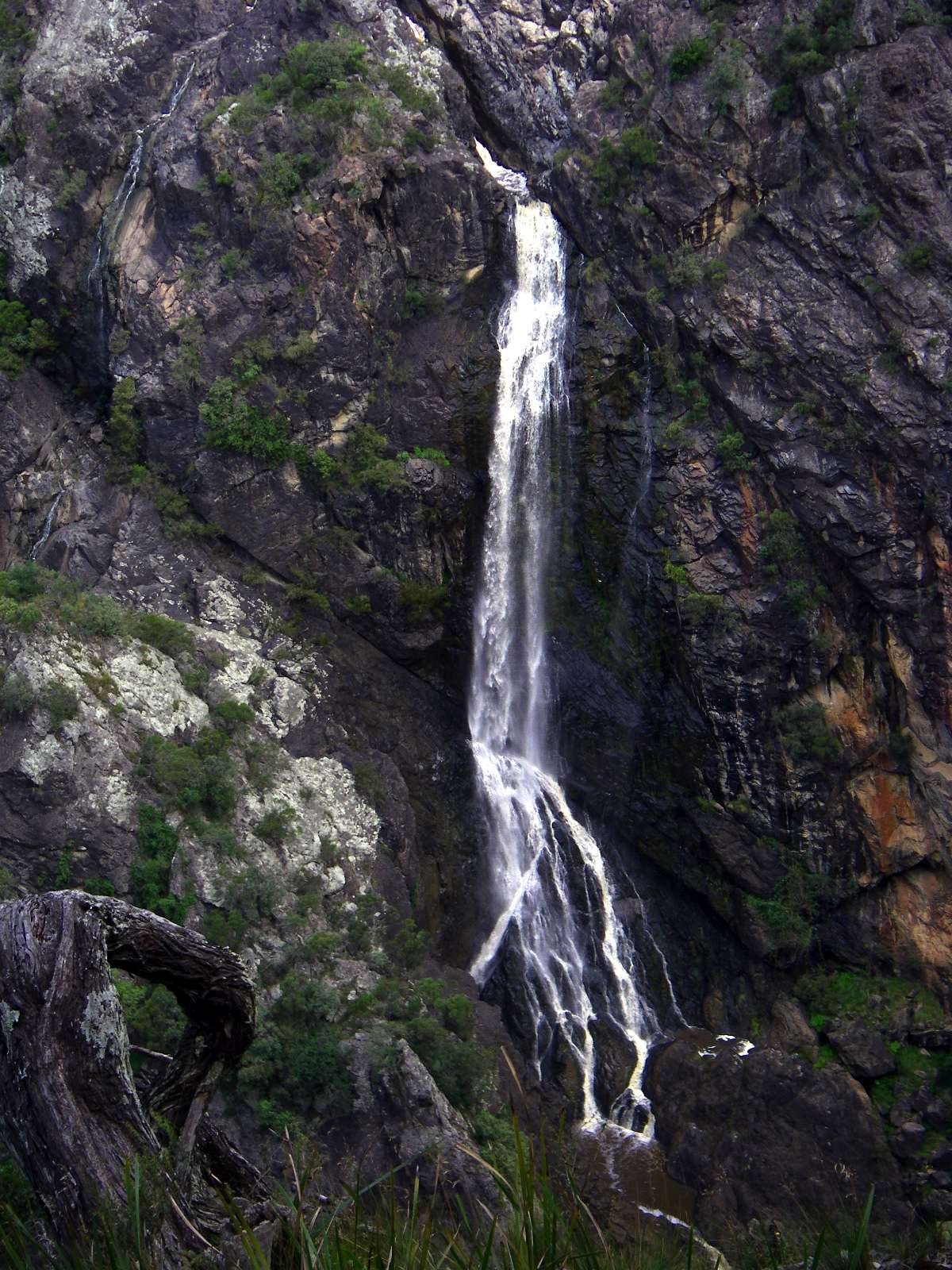
Mihi Falls from the Salisbury Waters track, and close up from the side track to Mihi Falls.
This is the most water I have ever seen going over Mihi Falls.
January 2008
"button" daisies on the way out to Mihi Falls.
January 2008
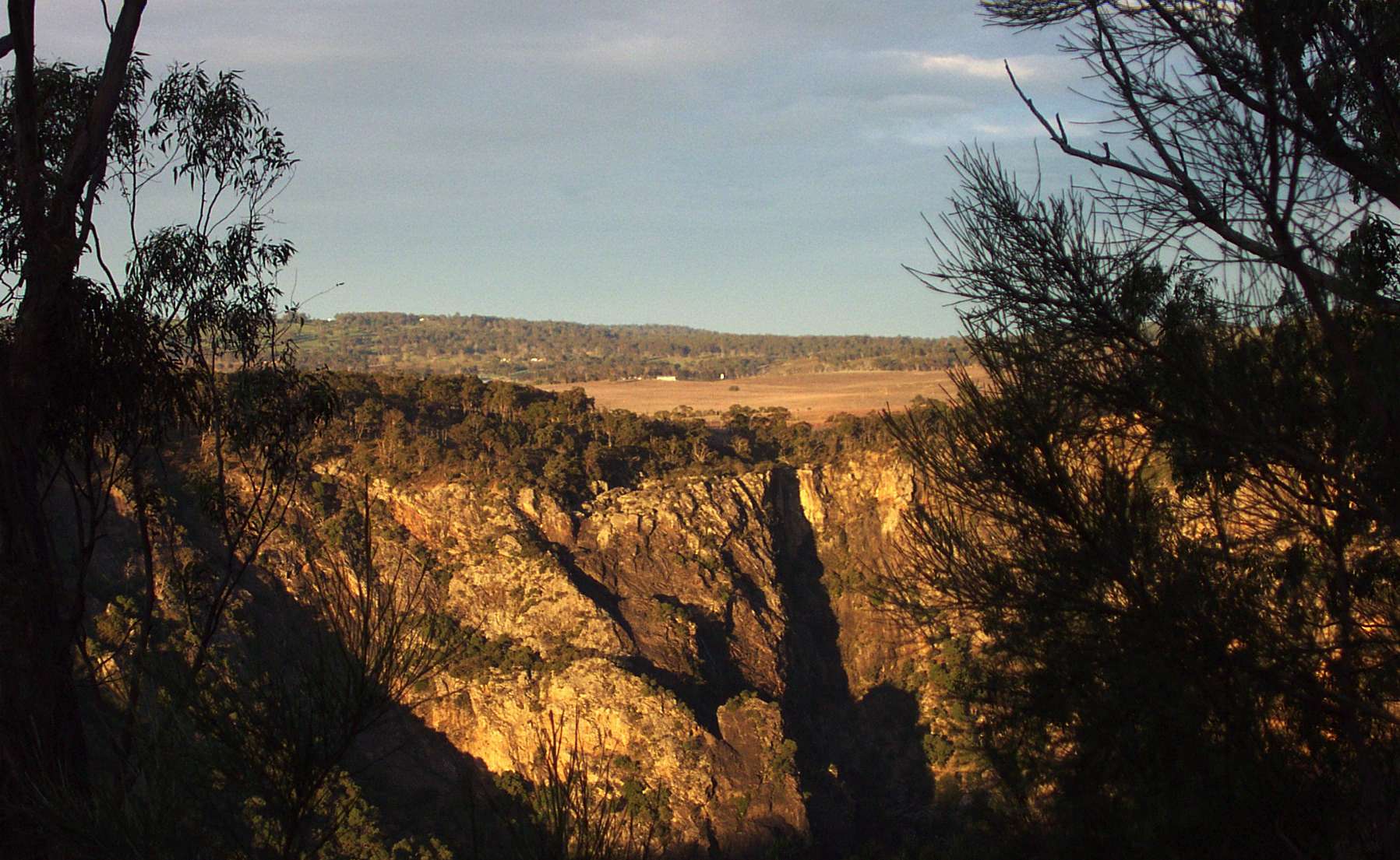
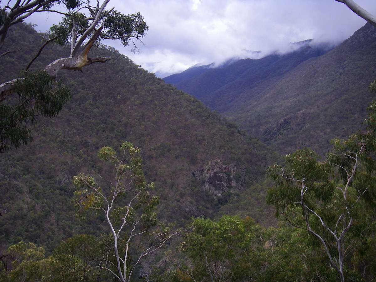
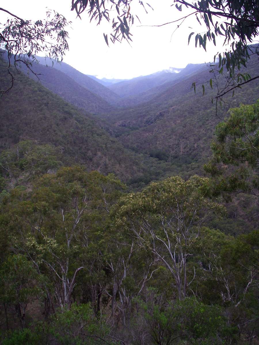
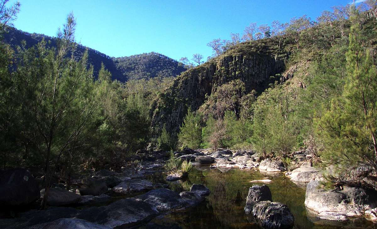
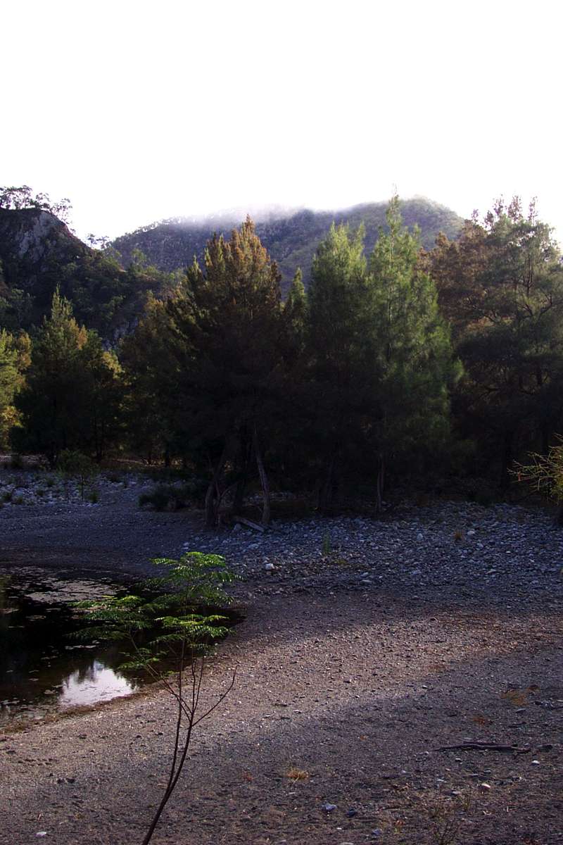
The Mihi Gorge in early morning sunlight.
The track at this point follows the narrow ridge between the Mihi Gorge and the Salisbury Waters Gorge.
The contrast between the grassy rolling paddocks of grazing properties on the Northern Tablelands and the rugged gorge country below is well illustrated here.
May 2003
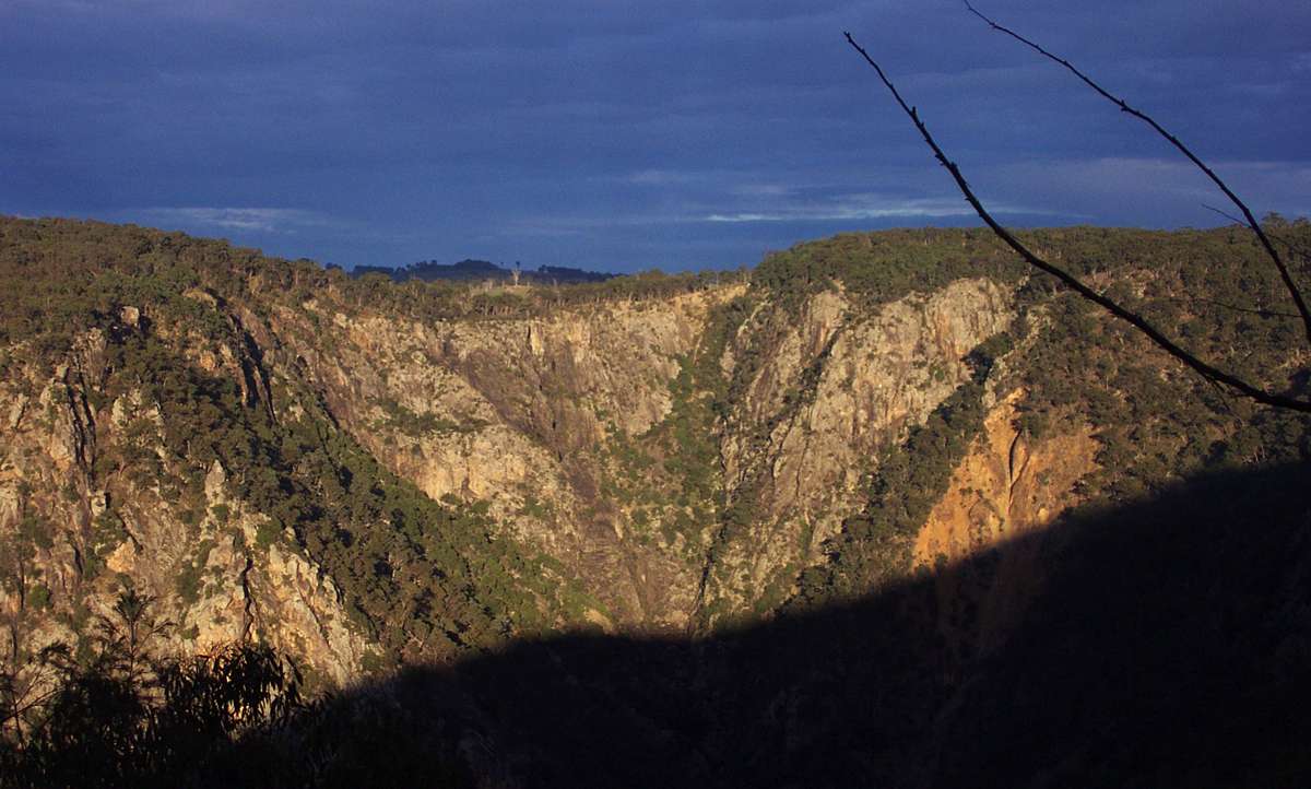
The head of the Mihi Gorge, with the shadow of the ridge falling on the gorge walls in the photo on the left.
In wet weather the Mihi Falls can be seen in this view.
(Left) May 2003, (Right) November 2008
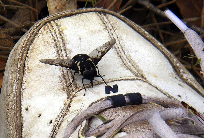
I call these "boot flies". They are very large, and seem only interested in my boots.
January 2008
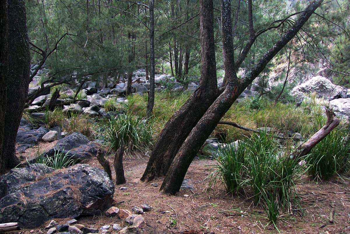
The track to Salisbury Waters descends steeply at this point. Few tourists go any further, but the track is well marked.
May 2003
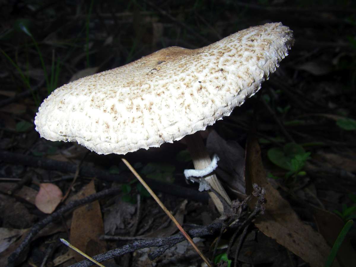
Fungus.
February 2008

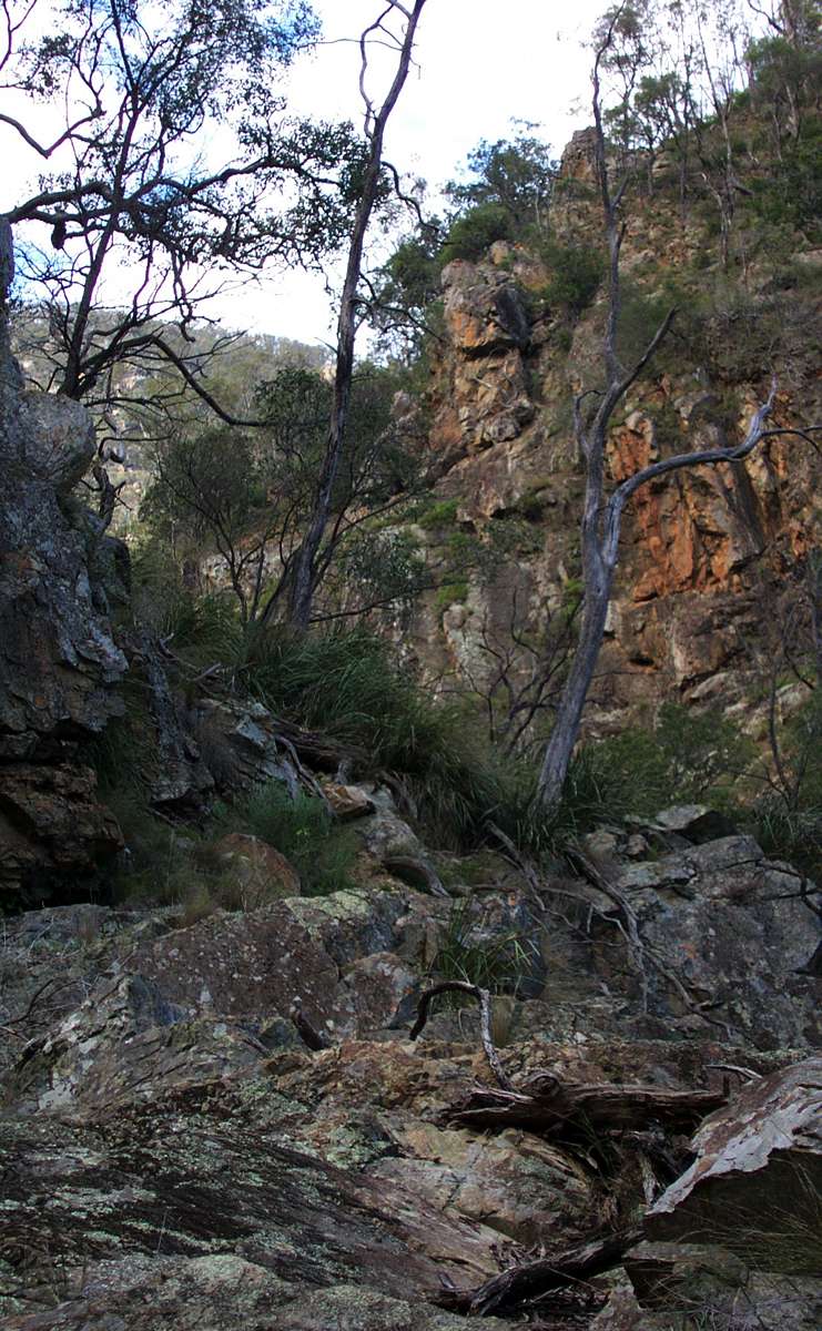
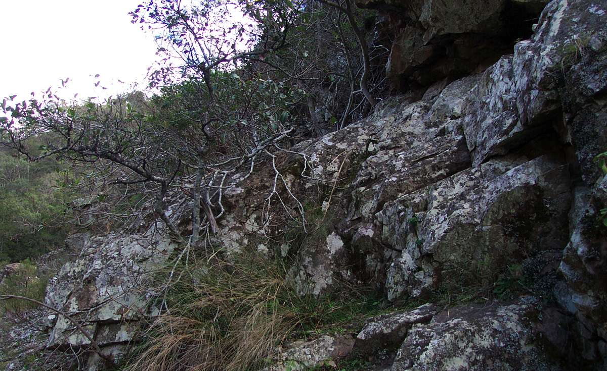
The track is rocky in places, especially where the ridge becomes narrow.
May 2003
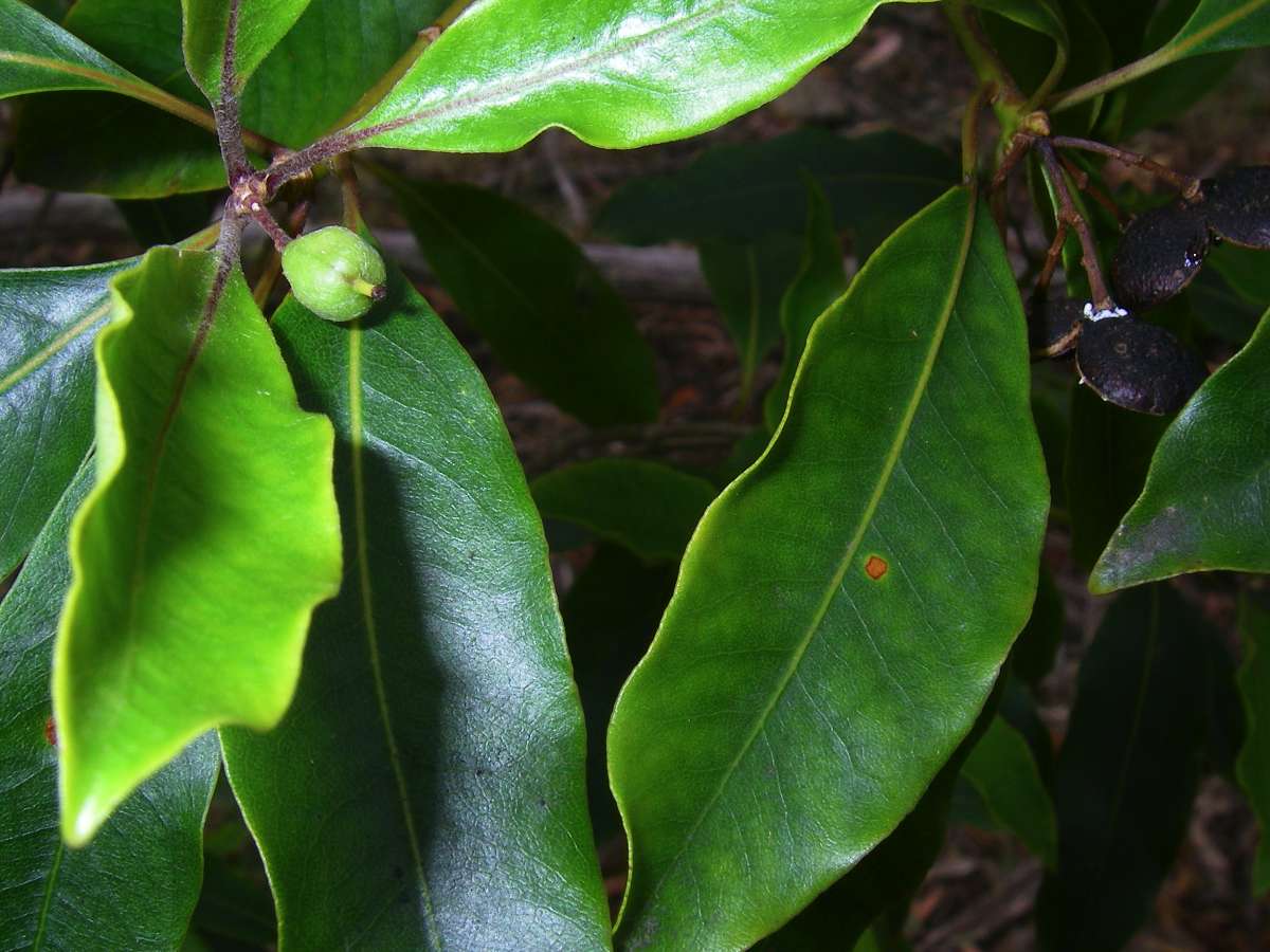
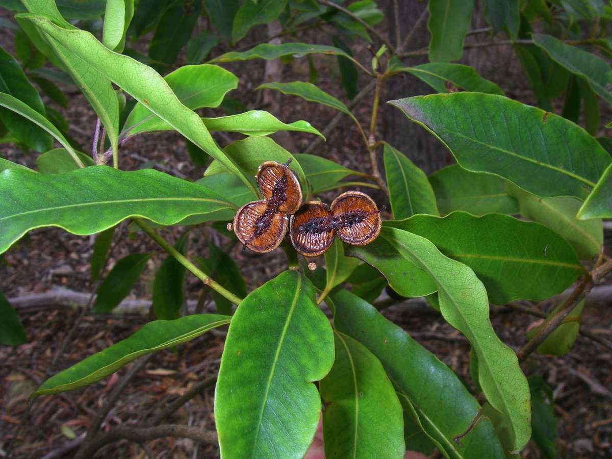
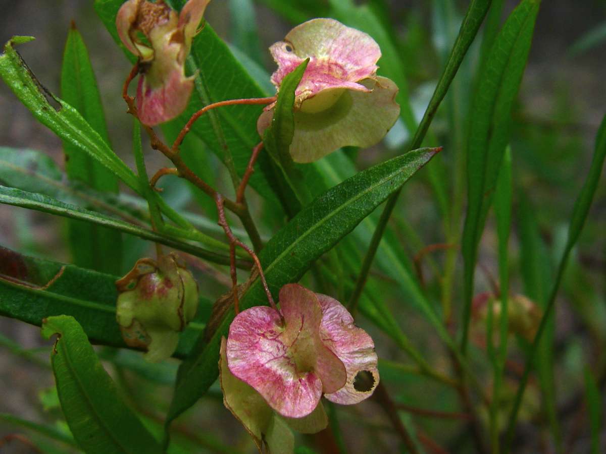
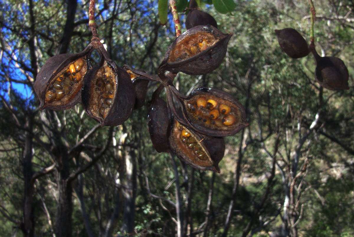
Pittosporum undulatum is common in eastern Australia. The leaves are arranged in a whorl and the woody seed cases have orange and brown seeds. The seeds have fallen off this plant, leaving the empty seed cases, as well as the fresh new undeveloped fruit shown in the image on the left.
November 2008
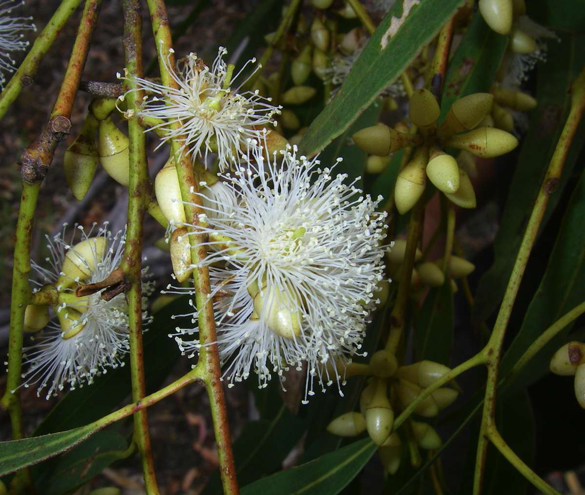

Eucalyptus pauciflora (Snow Gum) is common on the New England Tablelands. The flower is white and the seed capsules have three main valves.
November 2008
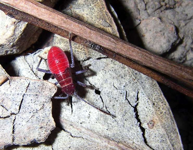
An interesting insect beside the track.
May 2006
"Native Apricot", Pittosporum phylliraeoides.
February 2008
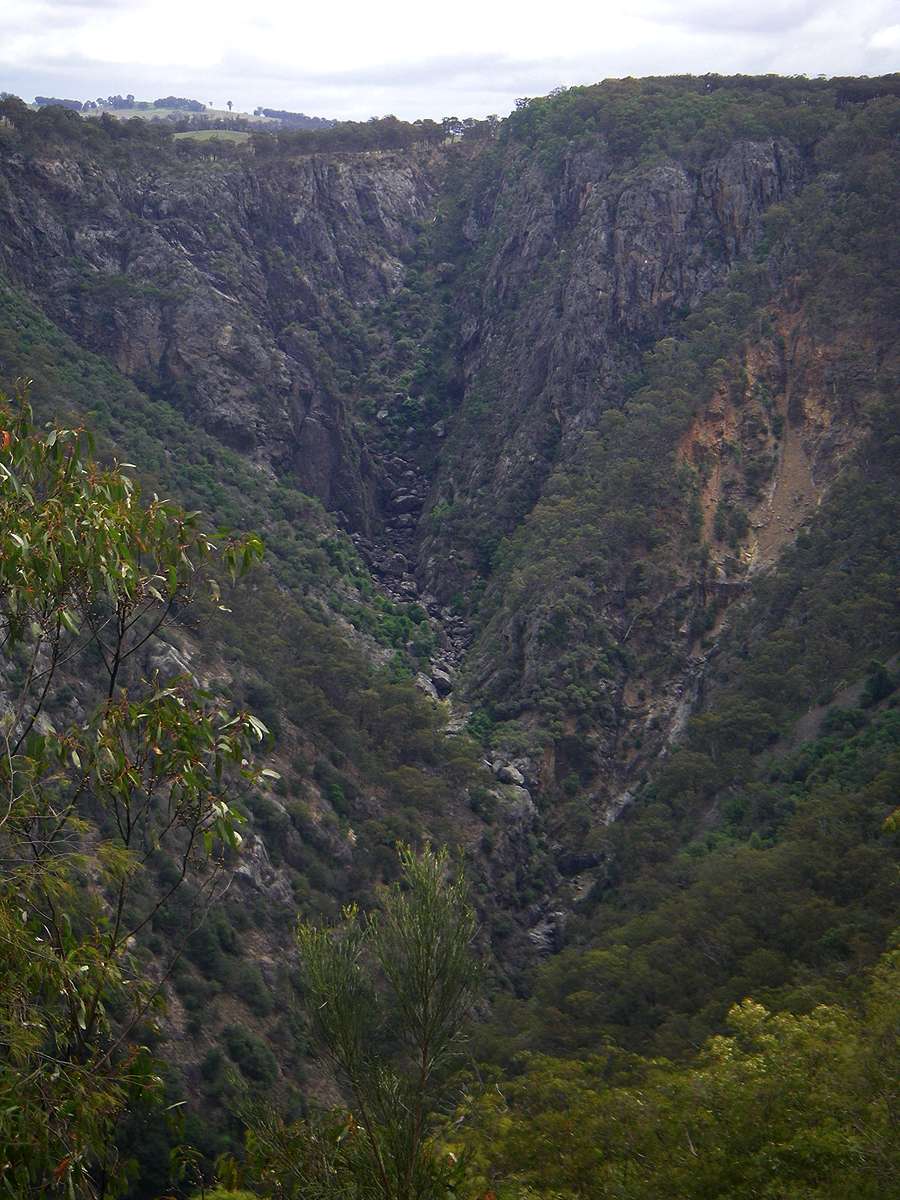
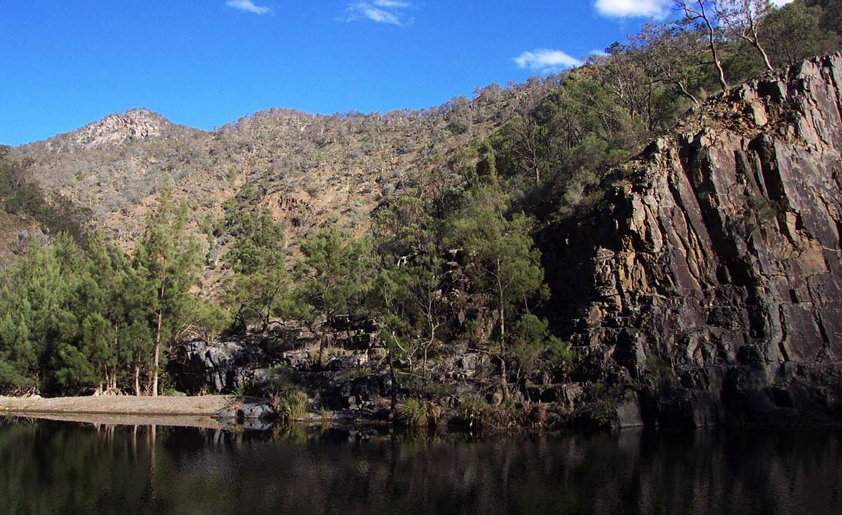
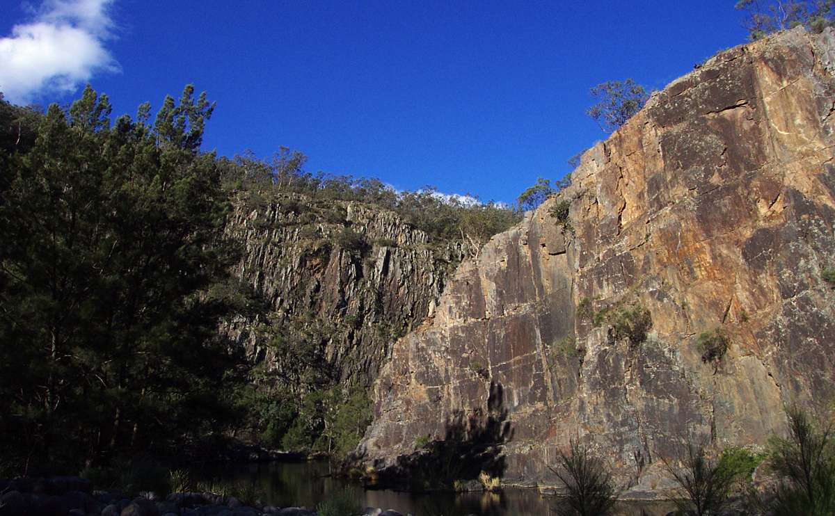
View of the Salisbury Waters Gorge looking upstream to Sarum ridge.
November 2008
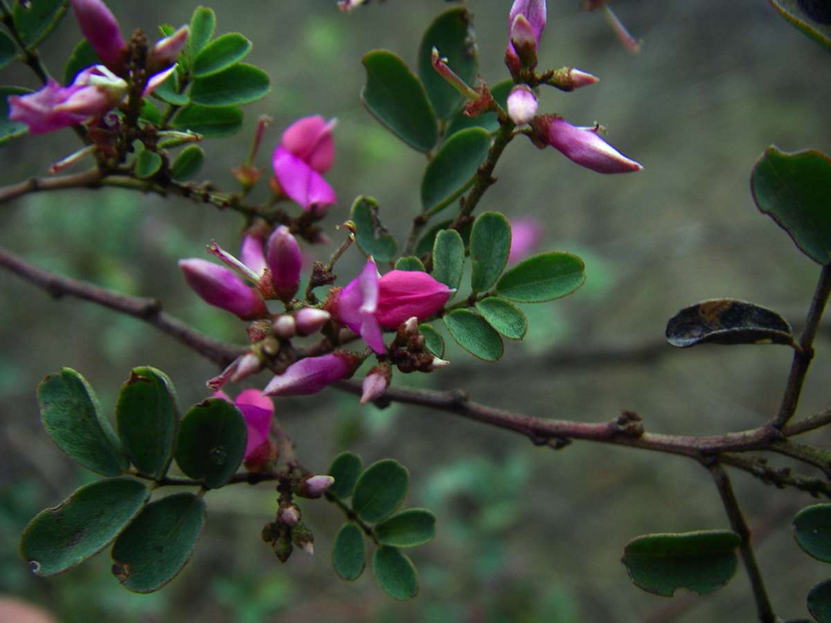
Indigofera australis is a small shrub with purple pea flowers.
November 2008
The final steep track to Salisbury Waters descends to the left, straight on leads to a lookout over Salisbury Waters.
May 2003
View down the Salisbury gorge, from the lookout at the end of the track but before it descends to Salisbury Waters.
(Left) May 2003 on a very clear day, (Right) November 2008 on a misty morning.
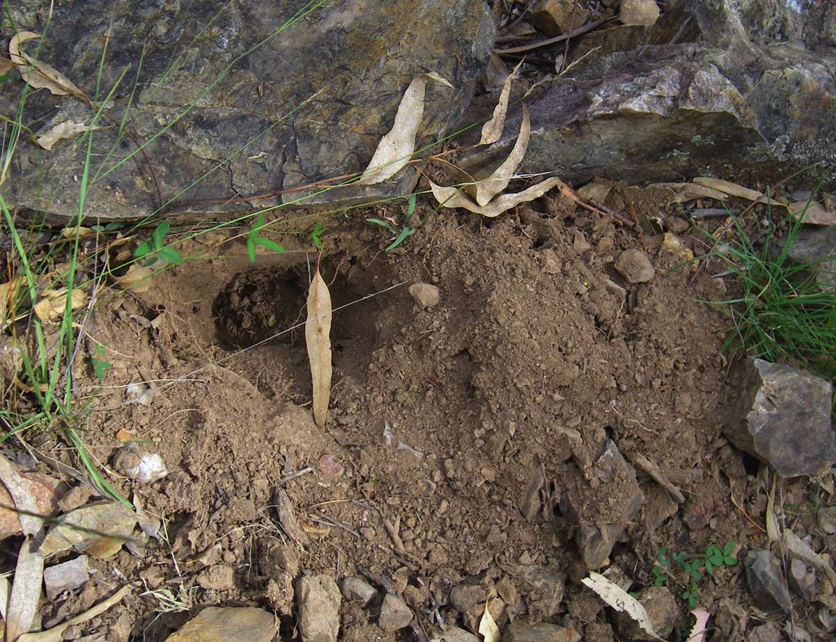
(Left) The characteristic wedge shaped hole dug by an Echidna looking for ants, at this point right beside the track. The gorge system is echidna heaven.
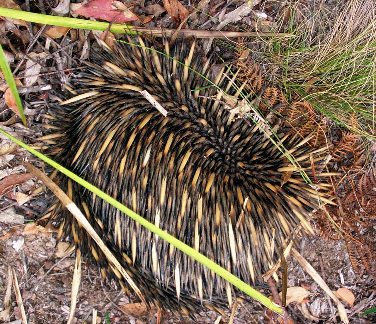
(Right) This shot of an echidna was taken on the cliff line elsewhere in the gorge system.
February 2008, February 2003
Dodonaea viscosa (a native hop bush) has papery seed capsules which range from pale pink to dark red.
November 2008
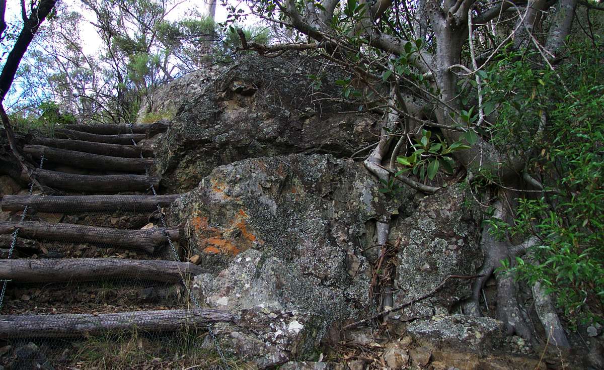
Steps made of logs chained together and covered with wire netting for a safer grip in wet conditions.
May 2003

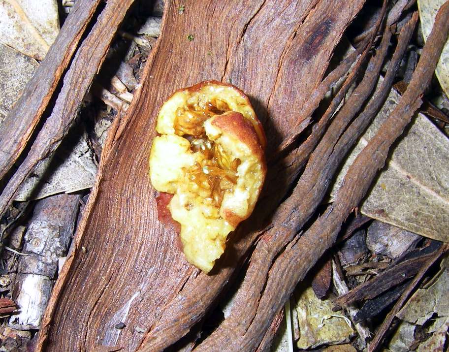
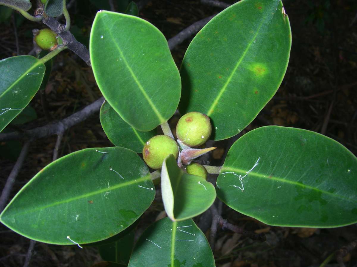
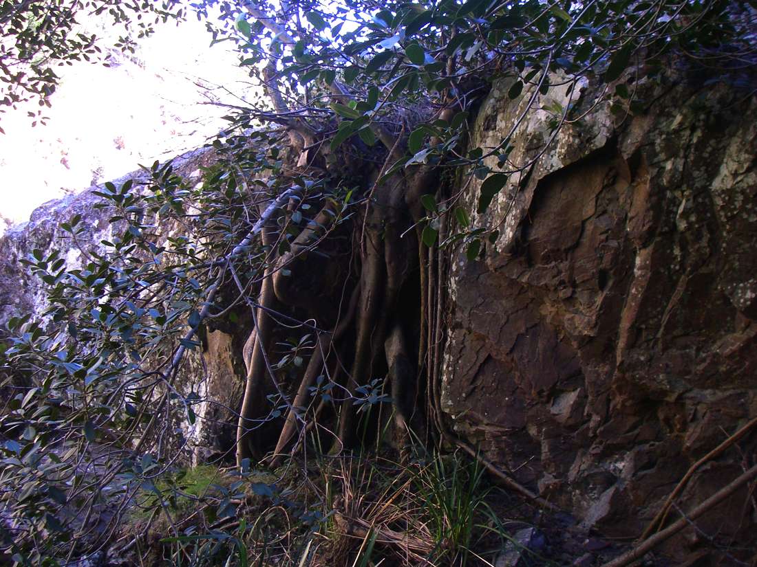
Native fig near the base of the walking track from Dangars Falls. The figs are edible, but they are small. They ripen from the lowest to the highest over a long period. Native birds such as the crested pigeon eat them.
(Left, Centre) January 2008, ripe figs, (Right) November 2008, small unripe figs.
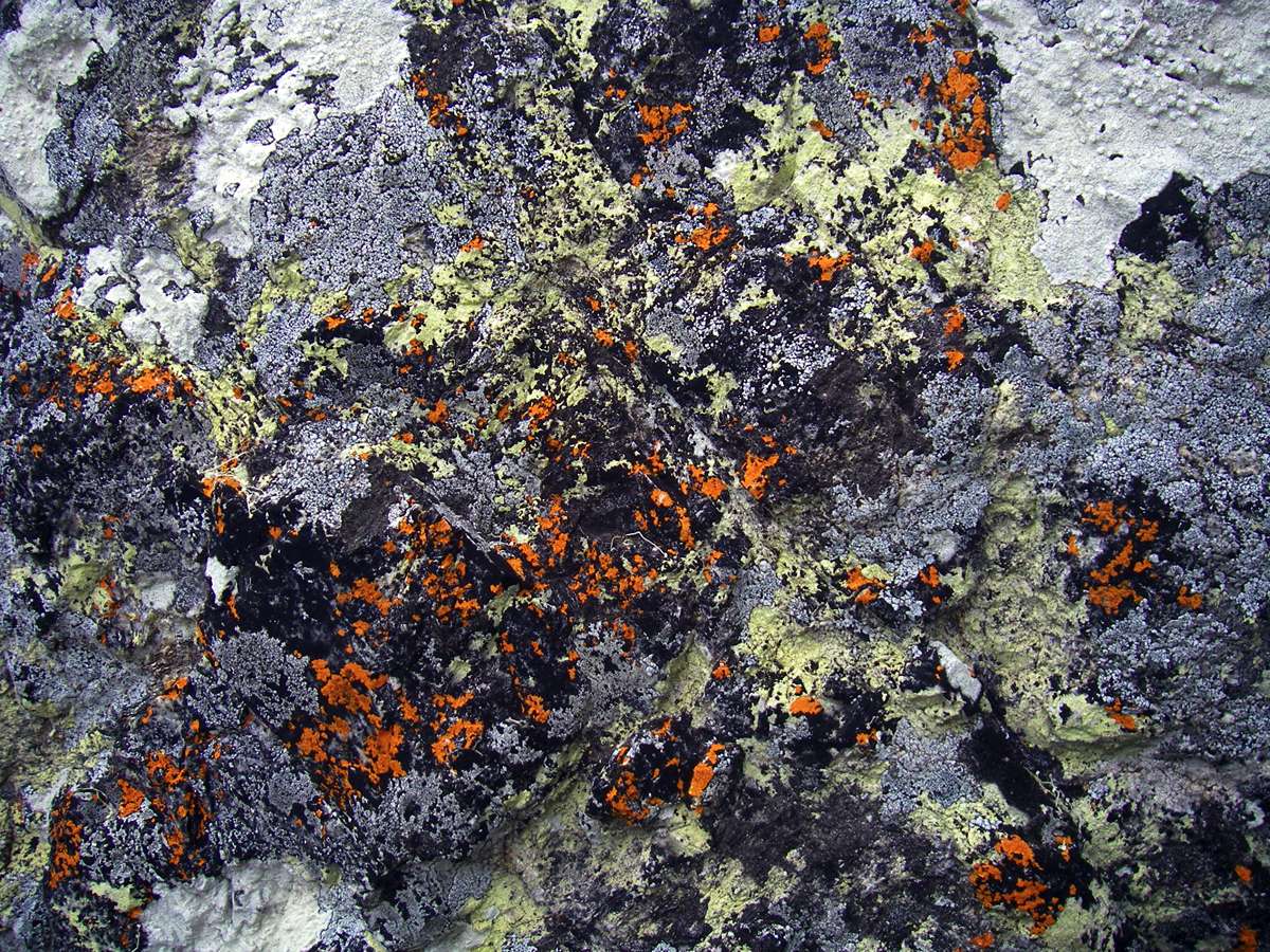
Lichens on a vertical rock face.
November 2008
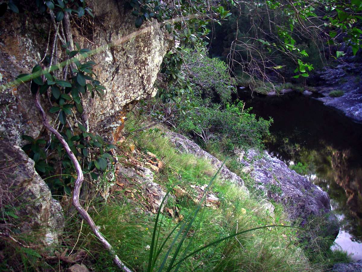
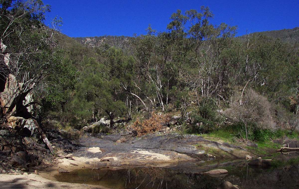
At the base of the walking track from Dangars Falls, you meet Salisbury Waters. It has a fairly restricted catchment area, and rarely breaks its banks even after heavy rain. There is space for putting up a tent here should you wish to stay overnight, but this is the end of the track.
Further progress down or up the gorge is for very experienced and very well prepared walkers only.
Others should return by the track to the Car Park, about three to four hours walk from this point.
May 2003, May 2003, January 2008
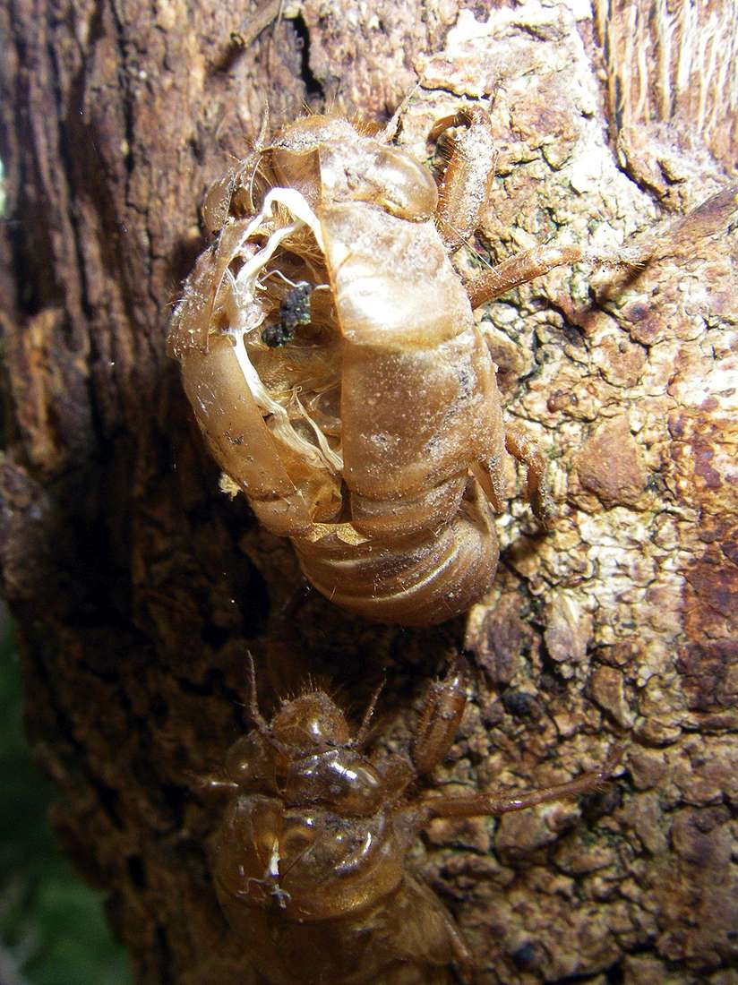
These are the outside shells of cicadas on Casuarinas at the base of the walking track from Dangars Falls. As these insects grow from a nymph to an adult, they split their outside skin and leave it behind, like a snake
January 2008
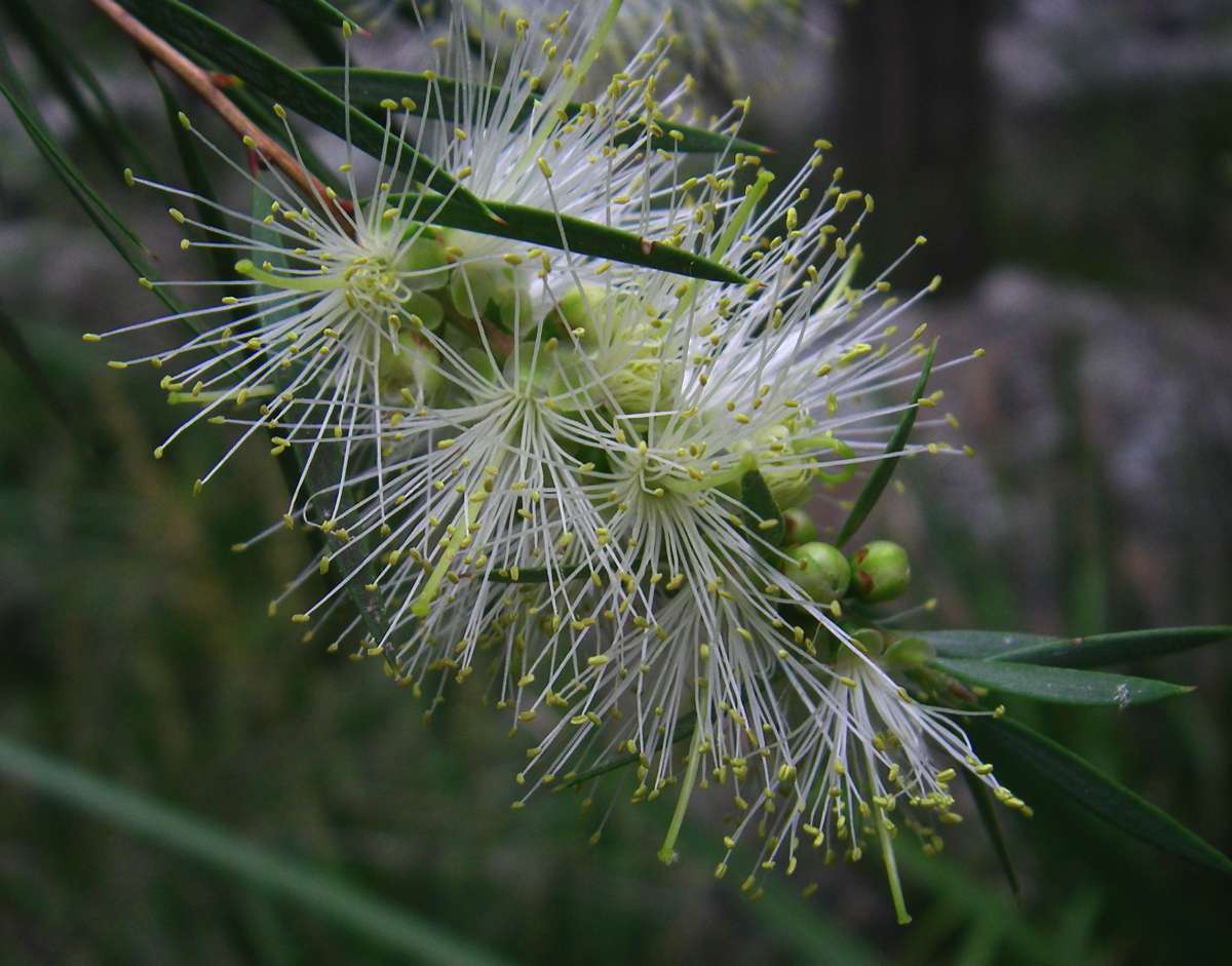
Melaleuca pityoides
November 2008
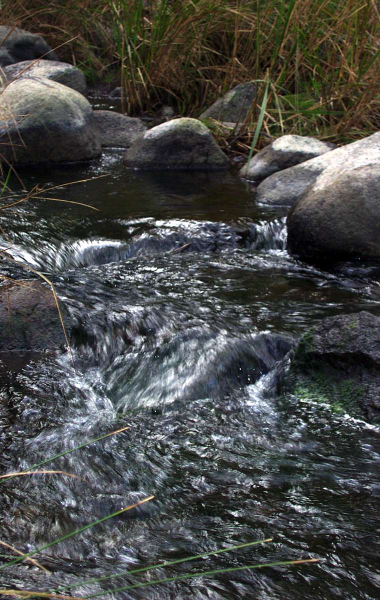
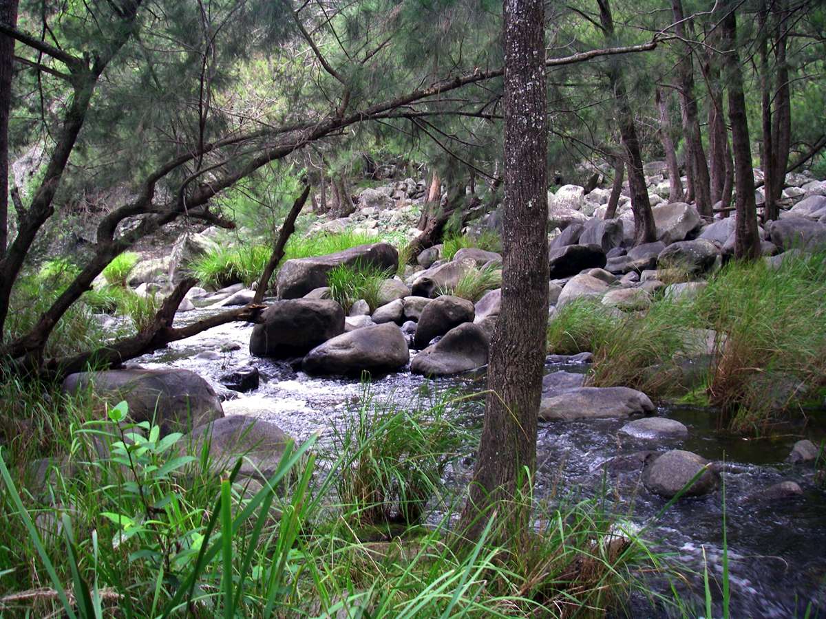
There is usually running water at this point.
May 2003

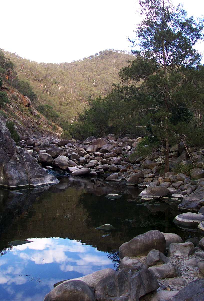
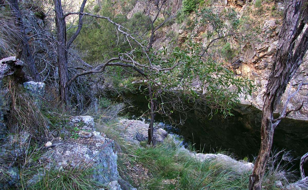
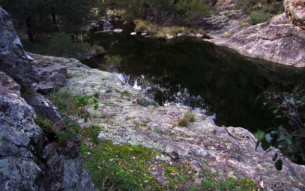
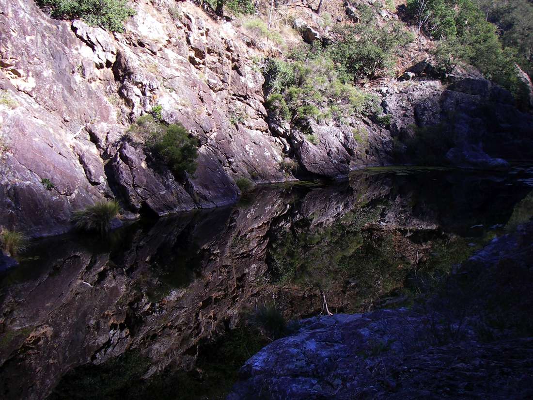
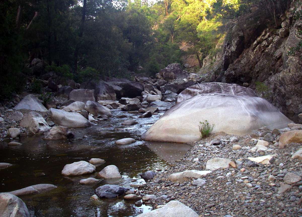
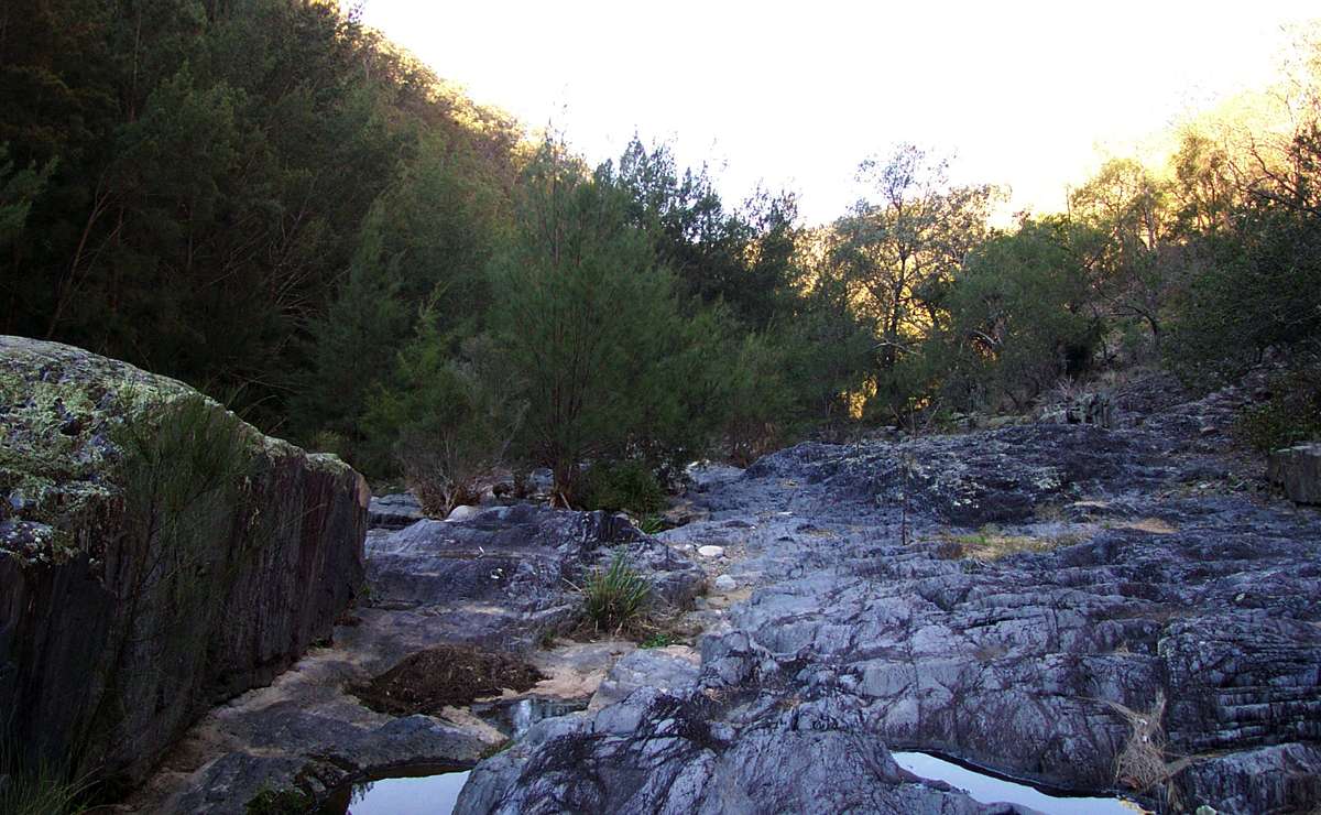
Water tumbling into what I call the 'First Long Pool' downstream from where the track meets Salisbury Waters. The water was weak tea coloured, but good to drink. I always sterilise the water in the creeks by either boiling or using silver tablets (micropur brand), or by adding forty drops of twenty volume hydrogen peroxide per litre, and waiting half an hour before drinking. The water in the gorges is clear as crystal during a drought, dirtier at other times. There is often no discernible flow into this pool during drought.
February 2008
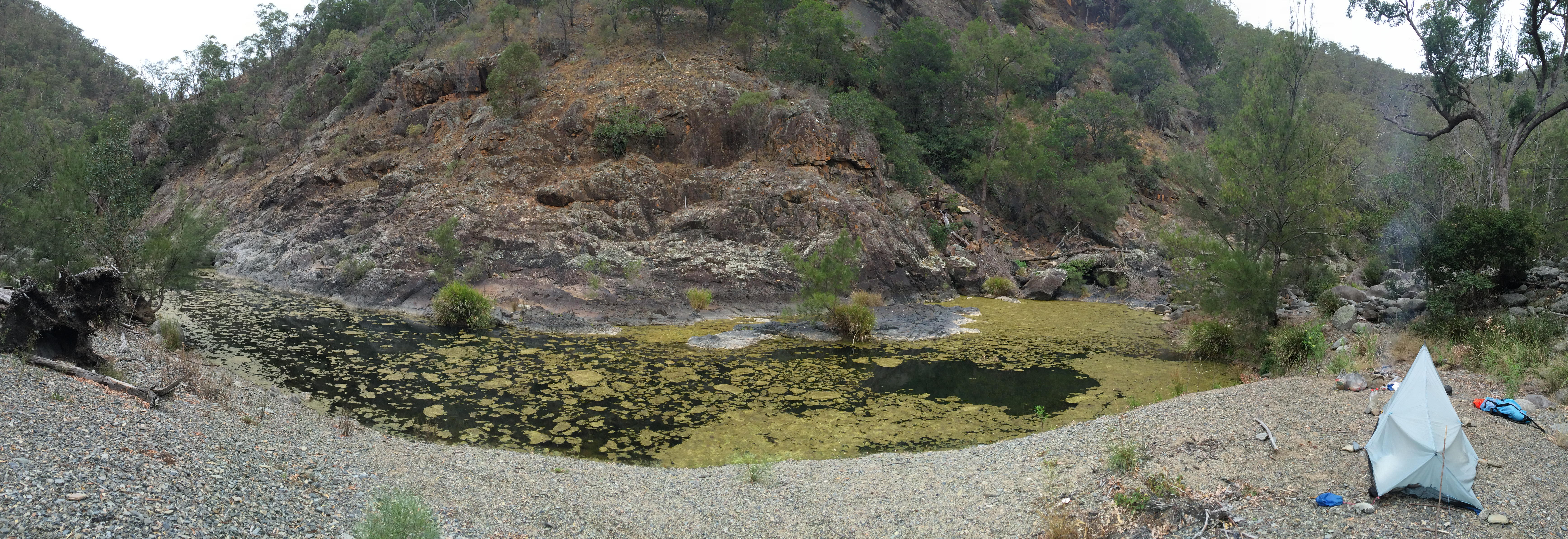
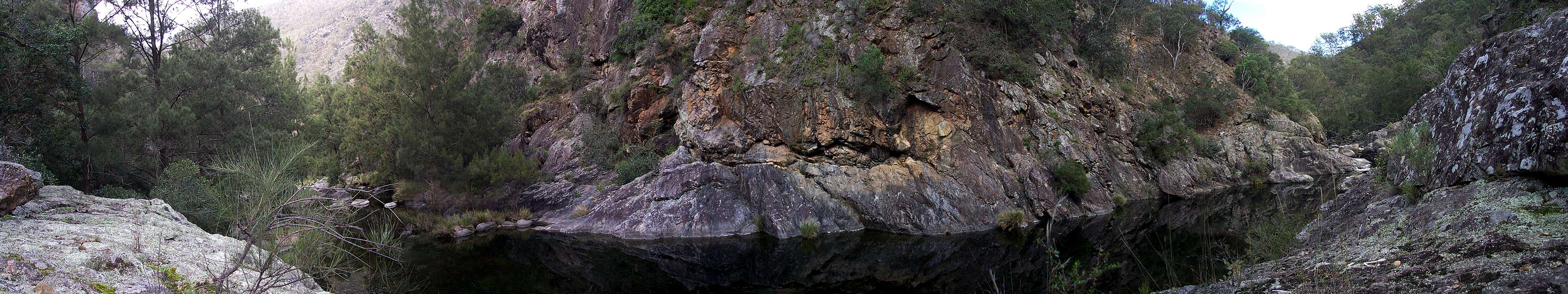
Panorama of the 'First Long Pool' during severe drought. I could get only a small amount of water from the inflow to the pool, collected laboriously half cup by half cup into the five litre wine cask liner that I use for water at a camp site.
April 2015
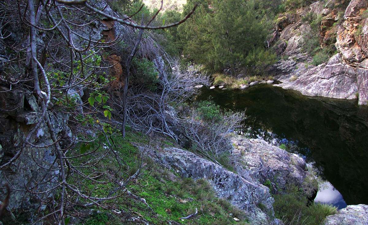
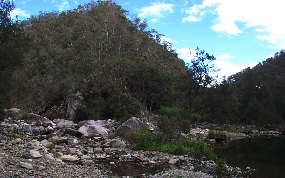
First Long Pool looking upstream towards the bottom of the track.
May 2003

"The Moss Garden"
This area is only obvious when conditions are cool and moist. The rocks get very little sunshine, and when conditions are right, it is a magical place. On the left, during moist conditions, and on the right, when it has been dry for a while.
May 2003, September 2003
Between this point and the confluence of Mihi Creek is a difficult and dangerous section of the route. Inexperienced or unconfident or unprepared walkers should not attempt to go further down the gorge.
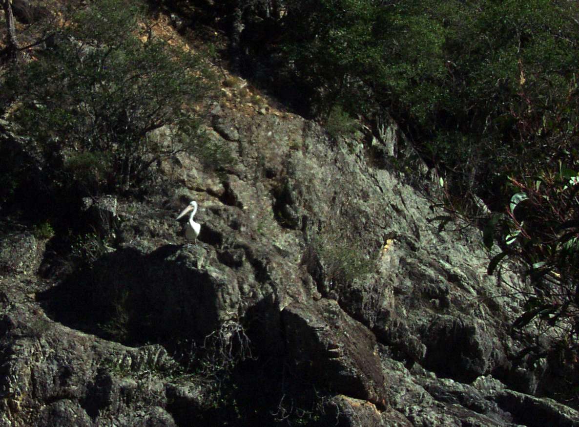
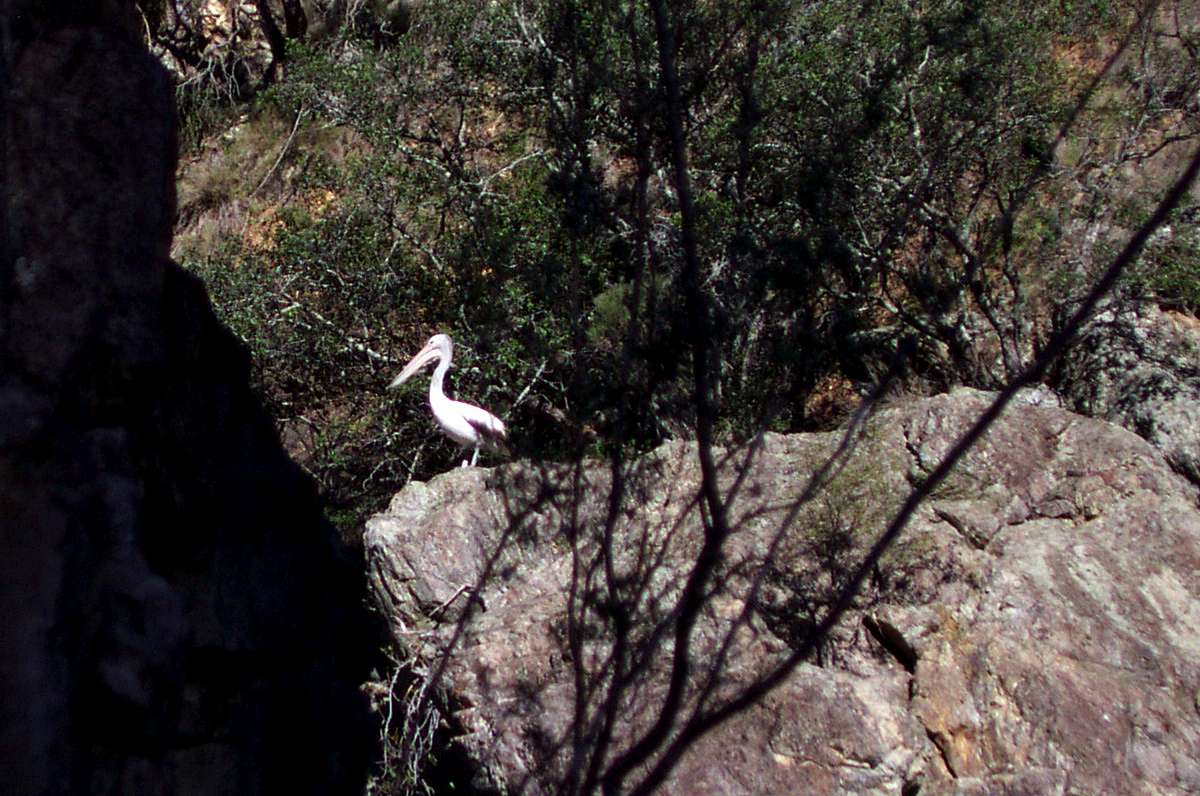
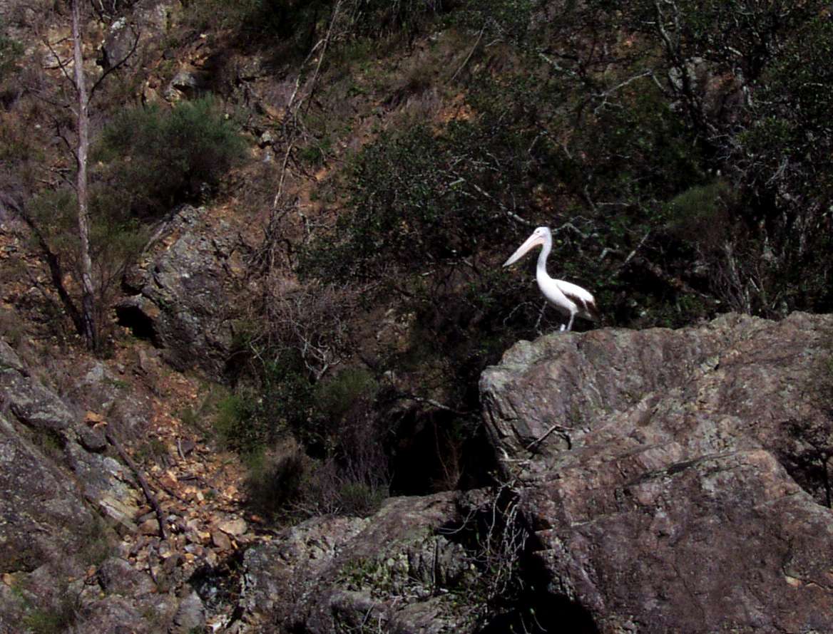
Pelican looking for fish in the "First Long Pool". Most fish in the pools are very small, and it is rare to see pelicans here.
May 2003

Vegetation struggles to survive in rocky conditions with little soil.
May 2003
What I call 'the space walk' which is one of the few ways down the gorge at this point.
Inexperienced or unconfident or unprepared walkers should not attempt to go further down the gorge either by this route or any other.
It is exposed, and not for the faint hearted or those scared of heights. Take it carefully, watch where you put your feet, there is loose rock, the ledge (what there is of it) is not horizontal. It is always good to be past this particular 'squeeze'. It is mentioned in earlier bushwalking books by the UNE mountaineering and bushwalking club as being a particularly difficult passage for unprepared walkers.
I have bypassed this route by going way up high on the steep gorge walls via the "obvious" route on unstable loose soil, a very hairy experience I have no wish to repeat, or by swimming down the (quite long at this point) pool with a very well waterproofed pack, so long as you know exactly what you are doing and have done it before. A wet sleeping bag is no sleeping bag at all.
If you are confident of swimming, and it is summer, put a new waterproof liner such as a heavy duty garbage bag inside your pack, and carefully repack everything inside without stretching or puncturing the plastic bag. In any case, it is only an option on a warm summer's day and for very good swimmers. These pools are often covered by thin ice on early winter mornings, and air temperatures can get below -10° C.
February 2008
The other way to get further down Salisbury Waters gorge, which is feasible for experienced walkers is to go to the lookout above the 800 metre track to Salisbury Waters, and pass to the right, down the ridge, ending up in Mihi Creek, and going down the Mihi to its junction with Salisbury Waters. This is the route that I would recommend for most walkers.
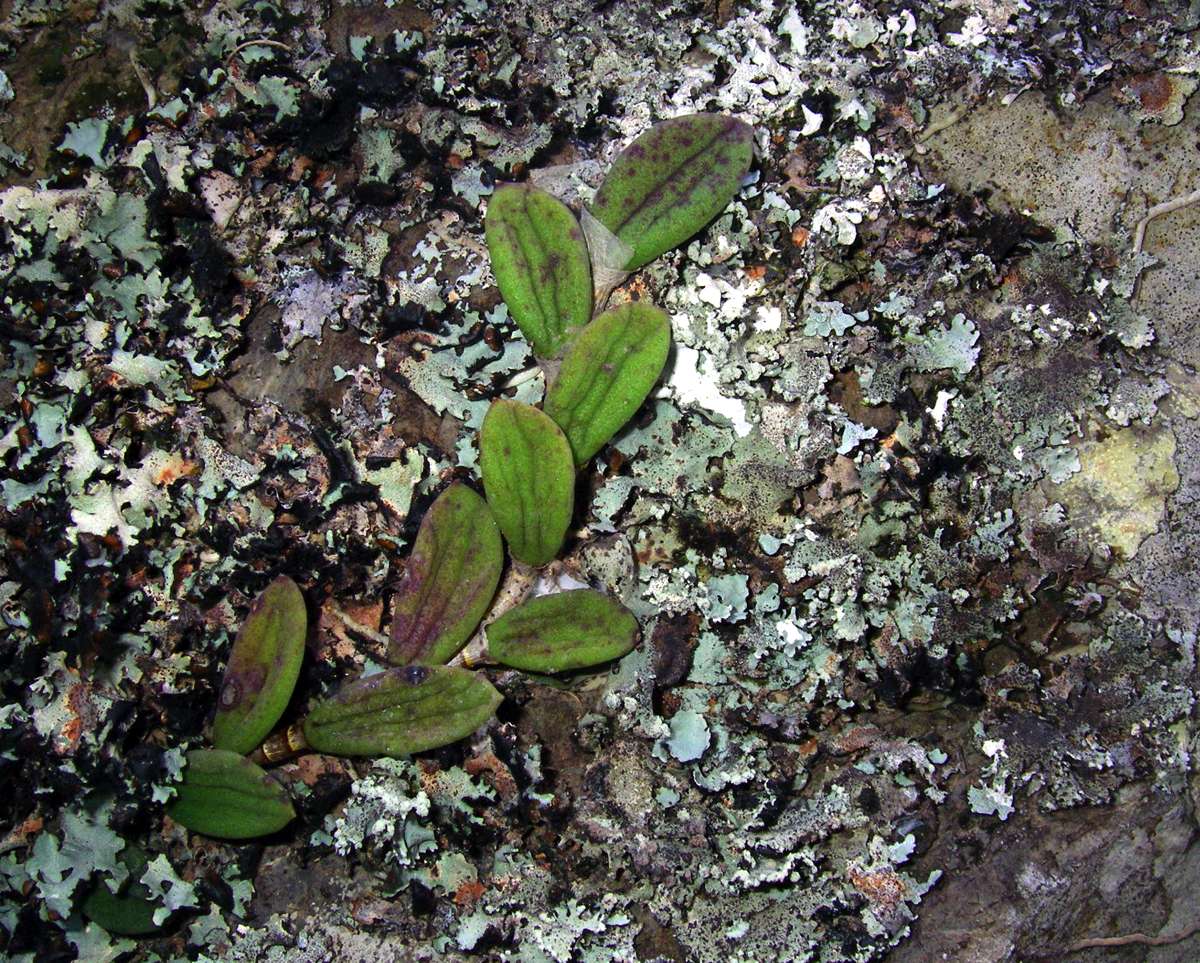
A rock orchid and lichen.
February 2008
The native fig is dropped as a seed in the excreta of the birds which eat the fruit. The seed sends down rootlets from wherever it lands, either on a tree branch or on a rock, to find water and soil, often creating beautiful bonsai effects such as this.
May 2006
First Long Pool, reflections during drought.
10.17 am May 2006
First Long Pool Panorama.
From this point on, after what I call 'the space walk' there are no 'squeezes' for the rest of Salisbury Waters downstream.
May 2003
Looking across the Mihi to the ridge leading up to the lookout down Salisbury Waters. It is possible to get up this ridge (with difficulty) by starting a little to the left of the main ridge.
February 2008
This is an unusual sight - Mihi Creek with a goodly amount of water coming down it. If going up Mihi Creek Gorge, it is best to choose a dry time. There is usually water in pools occasionally for drinking, even in drought.
February 2008
The pool where Mihi Creek meets Salisbury Waters.
February 2008
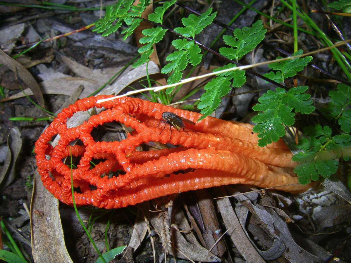
This red "net" fungus seemed particularly attractive to flies.
February 2008

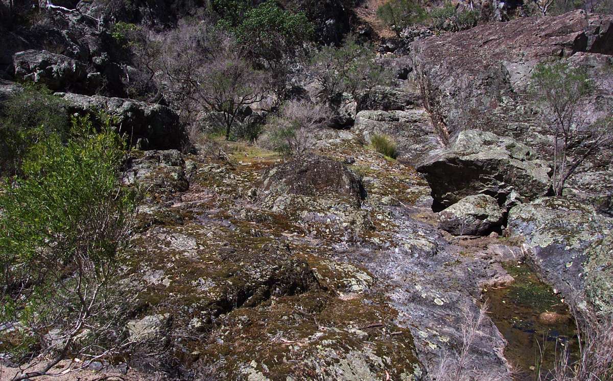
Sometimes the only way forward is over and around and between these granite boulders.
Looking upstream to a distinctive rock face.
February 2008
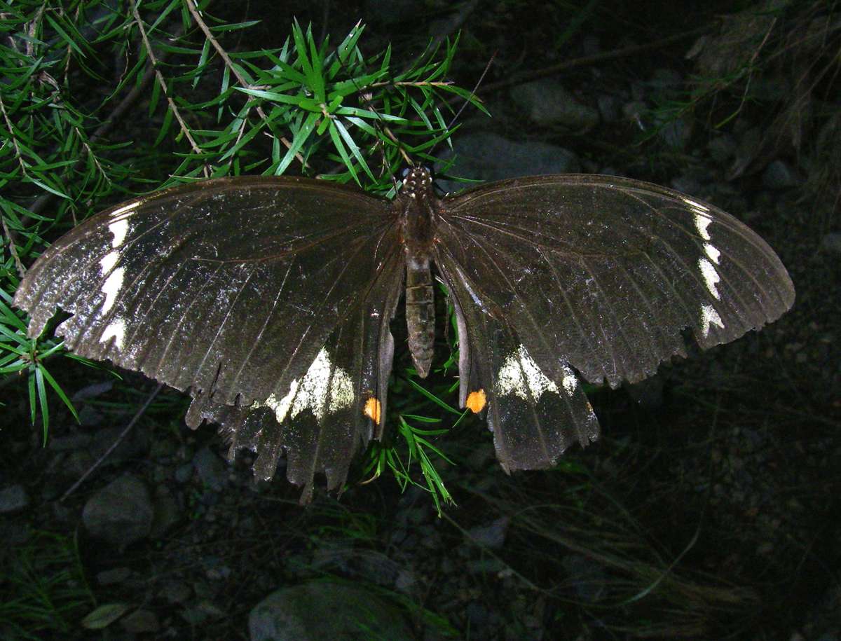
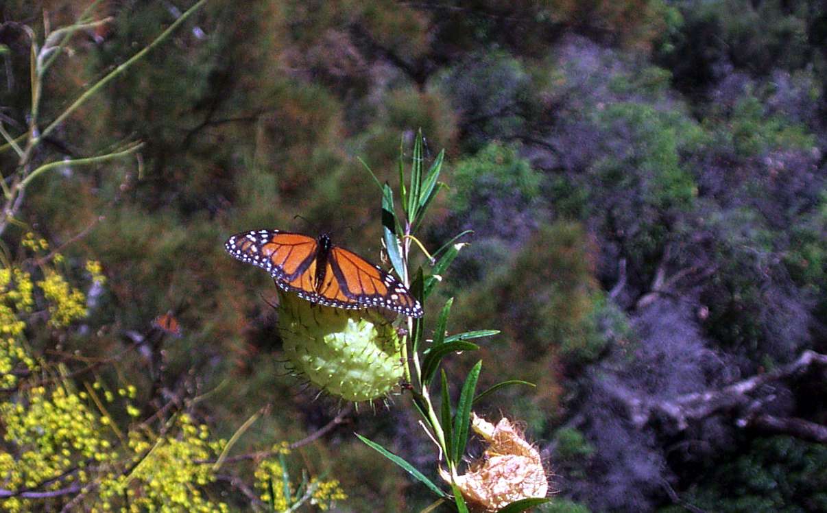
A butterfly in the cool very early morning, waiting until the temperature was high enough to start flying. Like me, not as young as he used to be, but still getting there.
February 2008
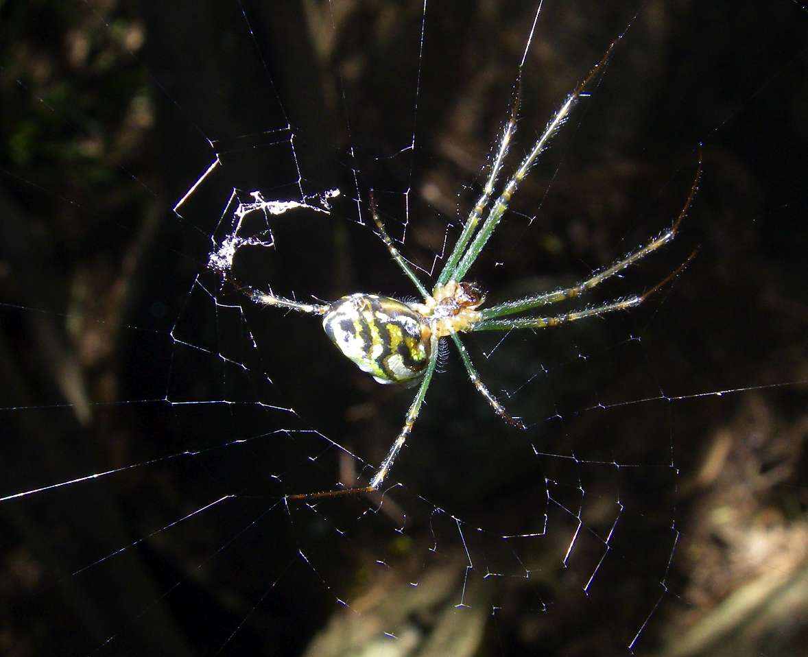
Spider. Australia must be the world's capital of spiders, snakes, flies and ants. Just as well the spiders don't bite, you'd be up the creek, you are pushing through webs every ten steps sometimes. Lots and lots of different species. Beautiful things, some are wary, some don't care if you photograph them.
February 2008

One of the hundreds of Australian "bracket" fungi.
February 2008

This large smooth rocky area I call "Don's Warm Corner". Many years ago I came through this area and camped in winter a little upstream of this site when the temperature reached well below -10° C. My wet socks froze solid inside the tent, and in the morning I had to thaw them out over the propane stove I was using at that time so that I could put my socks on. I packed up and walked on, and stopped here in sunshine an hour or so later for breakfast and to thaw out.
There is a good campsite a little further up the gorge wall here.
February 2008, May 2003
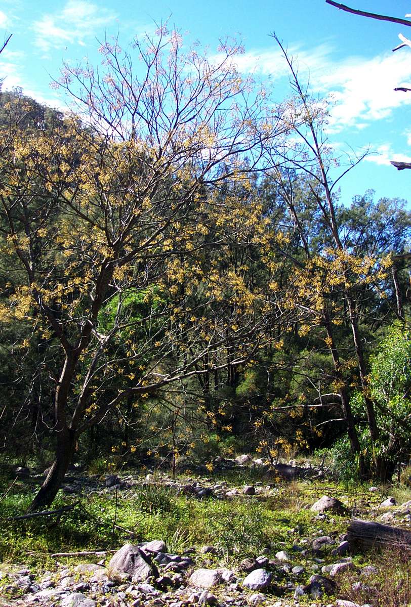
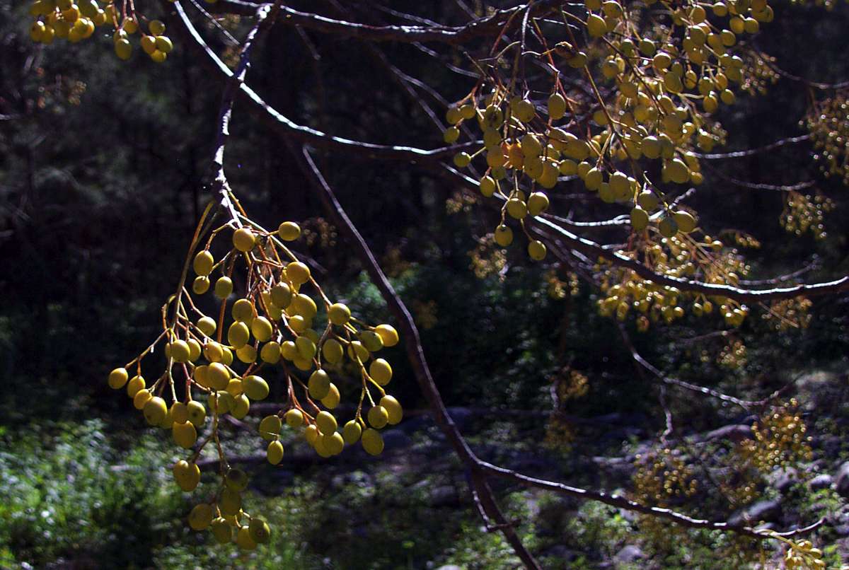
Melia azederach var australasica
White Cedar. Though I've come through this area many times, I've never found these trees in flower. The fruits which turn yellow in autumn are eaten by birds.
May 2003
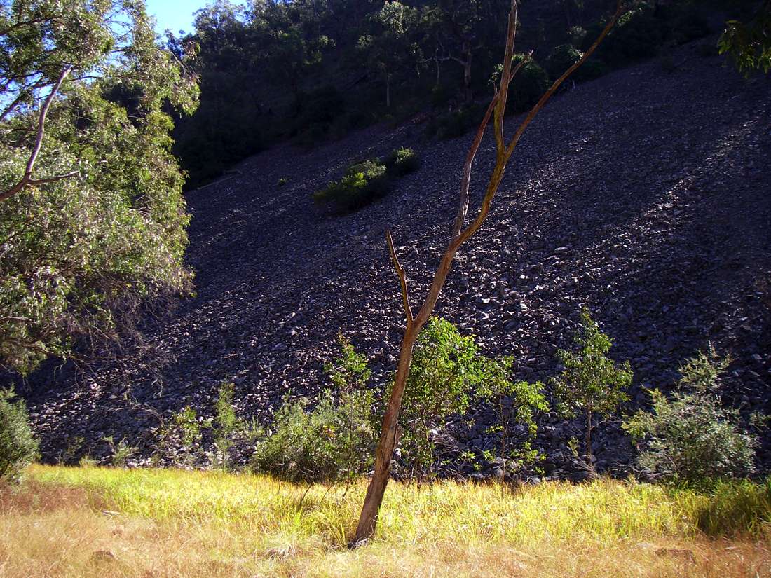
This scree extends for a considerable distance at one side of a very extensive flat grassy area suitable for camping, so long as you stay well away from the scree slope.
May 2006
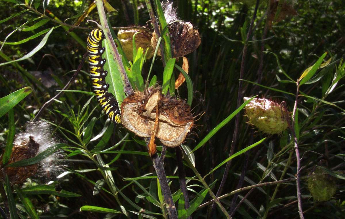
Caterpillar of the Wanderer butterfly on one of the many milkweed species.
May 2003
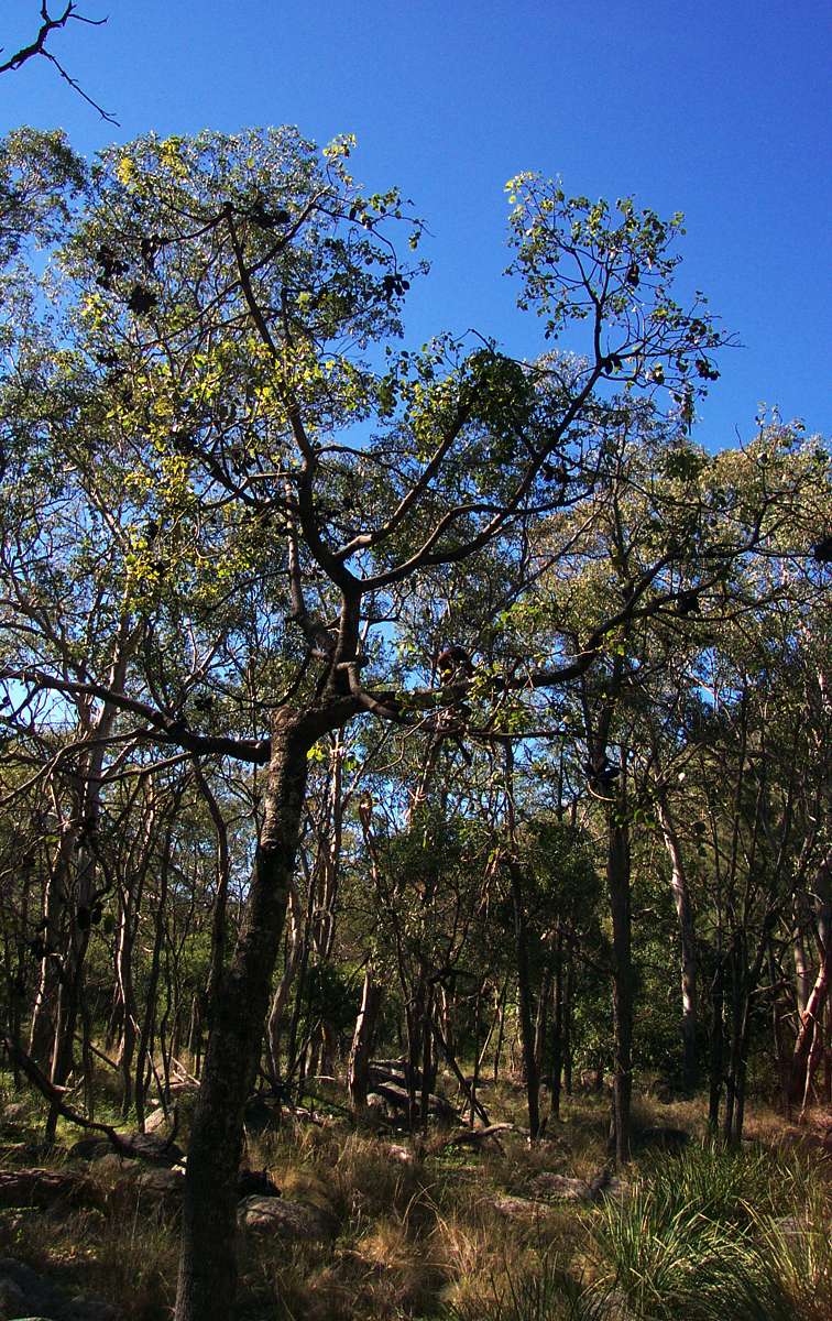
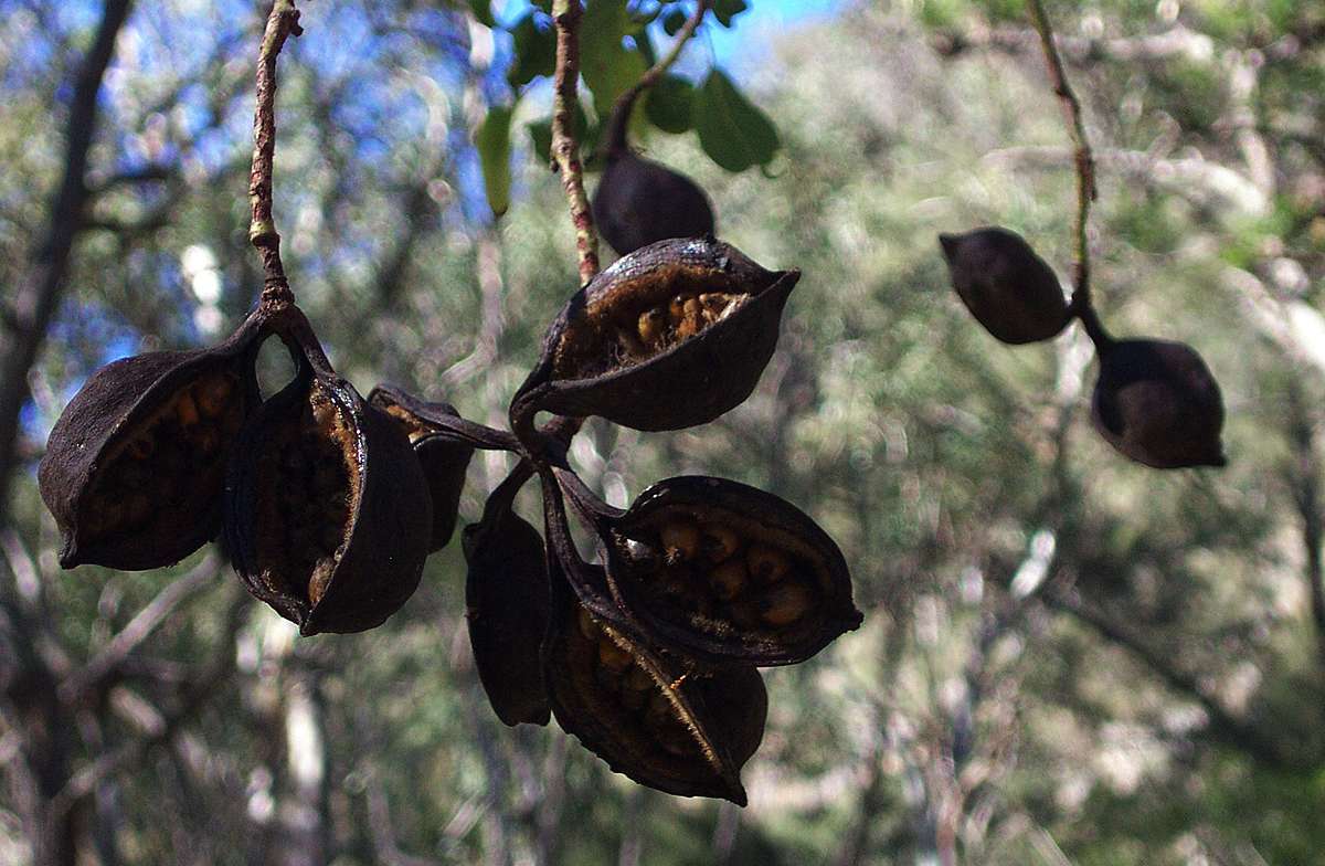
Kurrajong.
Brachychiton sp.
The bark from these trees is fibrous, and was used by aborigines for weaving nets, ropes and baskets.
Farmers in inland Australia used them as fodder for cattle. Up to one third of the branches of the tree could be cut off and dropped to the ground where stock ate leaves and small twigs. This practice leads to a "lollypop" shape for Kurrajongs treated in this way.
May 2003
Spring Creek entering Salisbury Waters.
May 2003
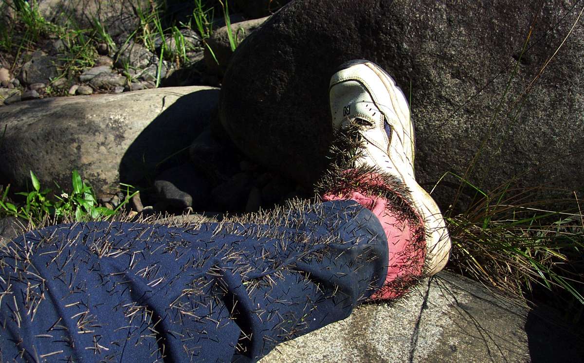
Cobblers Pegs or Farmer's Friends are an inevitable part of walking down Salisbury Waters in autumn. They are an exotic weed.
May 2003
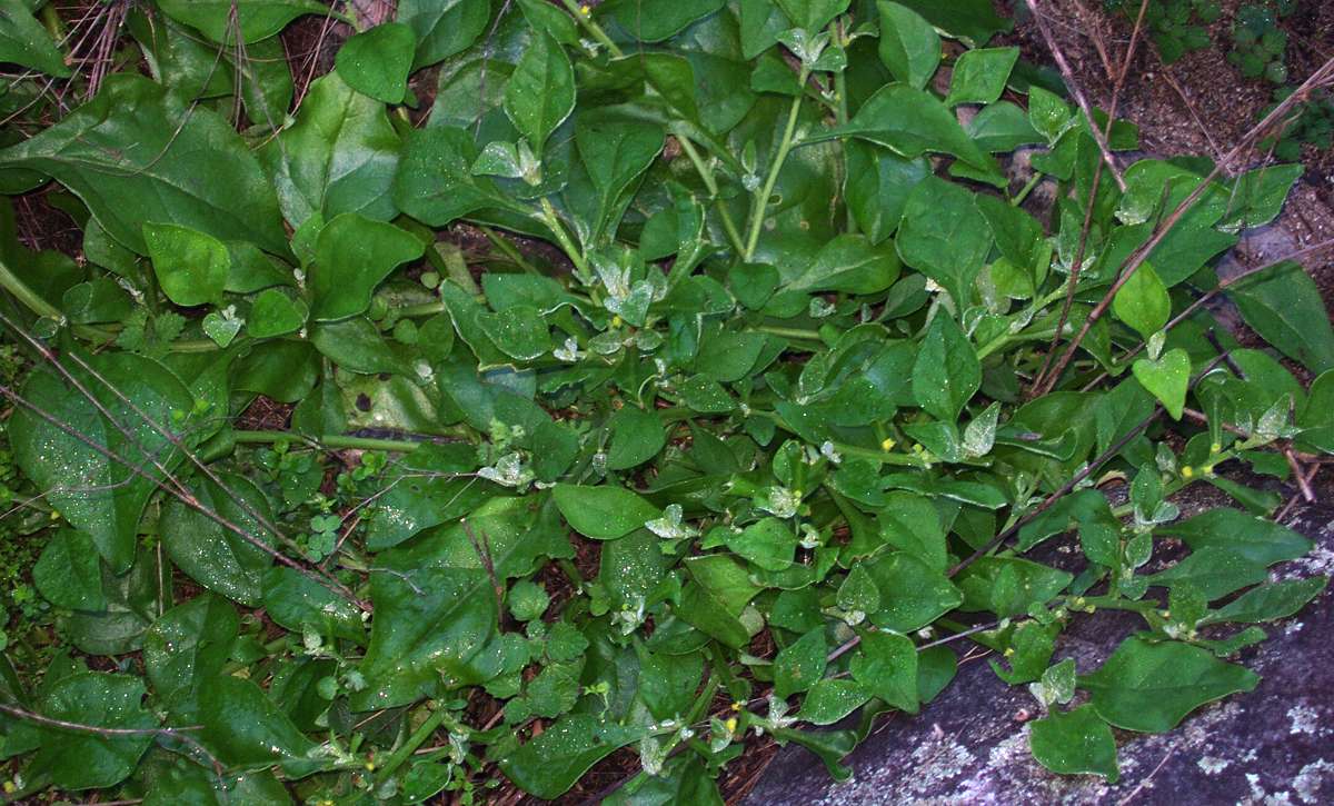
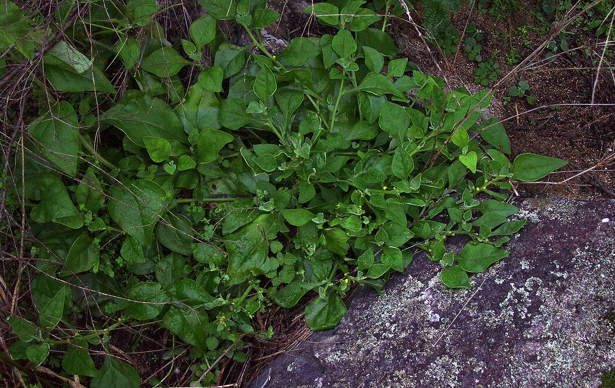
Botany Bay Greens
Tetragonia tetragonioides
Also known by many other names such as New Zealand Spinach, first mentioned by Captain Cook and used to combat scurvy.
It grows under a wide range of conditions. I have seen it also on coastal sand near the surf, and in the dry hot inland around Lake Mungo.
May 2003
Text from Wikipedia:
As some of its names signify, it has similar flavour and texture properties to spinach, and is cooked like spinach, although some, perhaps all species contain mild toxins which need to be removed by blanching the leaves in hot water for one minute, then rinsing in cold water before cooking.

When there has been a long period without high flows in the river, grasses can cover a large part of the surface of pools. A flood removes them for a while until they recolonise or resprout.
May 2003
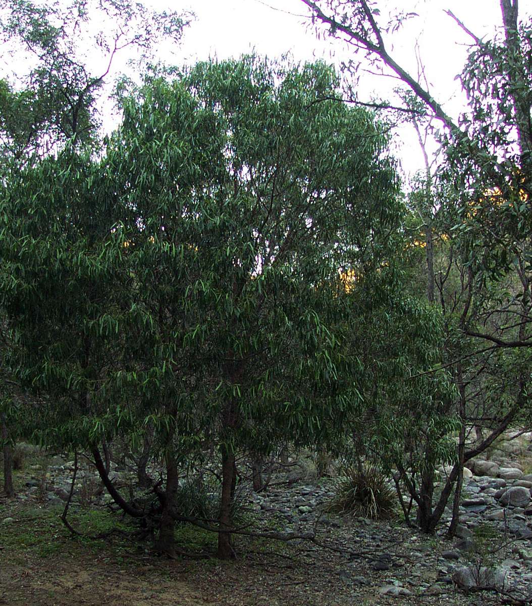
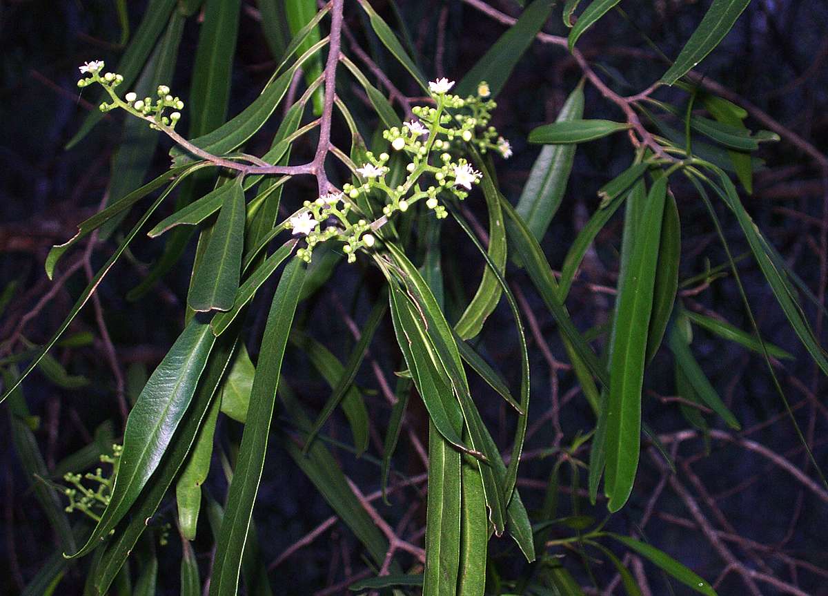
Wilga.
Geijera parviflora
A beautiful small tree, often seen in much drier environments than this on hot flat inland plains of eastern Australia.
May 2003
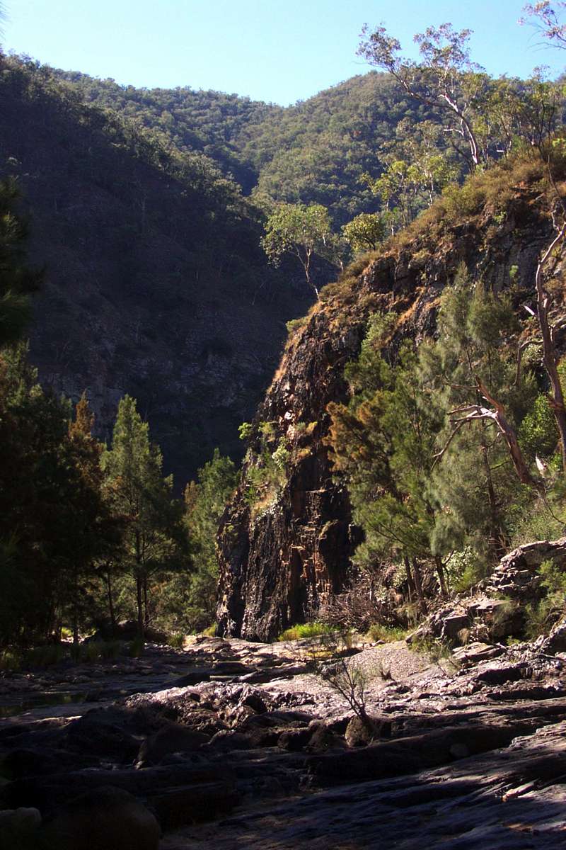
The distinctive narrow gorge and smooth floor underfoot just before "Beautiful Pool".
April 2005, May 2003, May 2003

The iridescent green of algae in the water, an indication of good health of the stream under low flow conditions.
May 2003

What I call "Beautiful Pool", a delightful place to camp on the sandy bank of a tree and rock ringed pool with good water. About six to eight hours walk from the Dangars Falls carpark.
May 2003
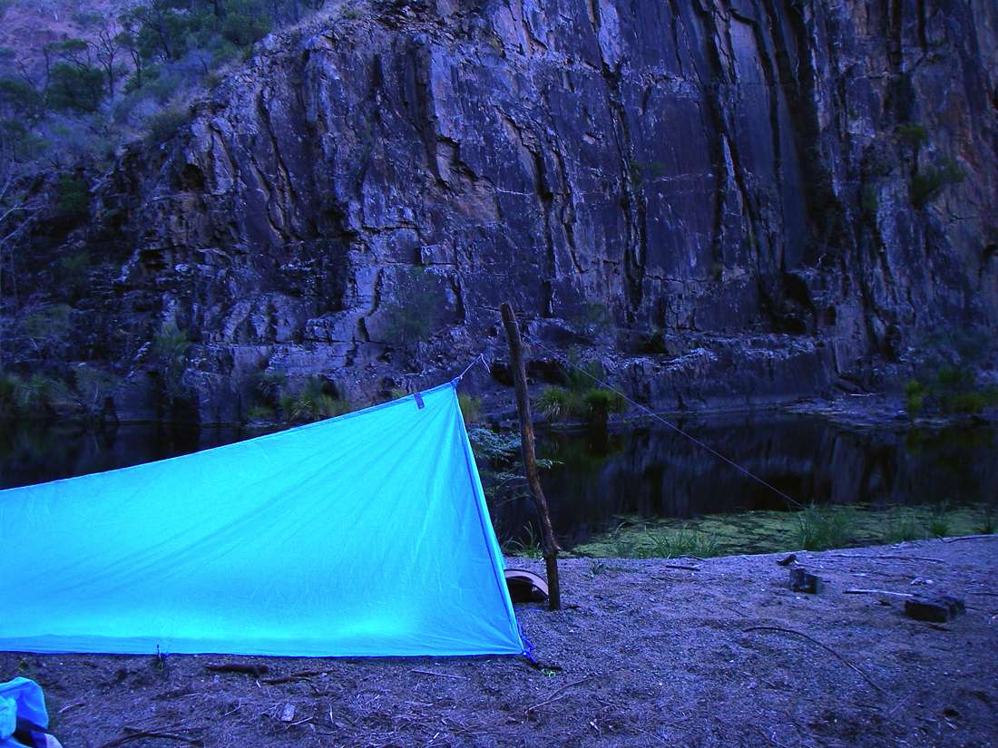
"Beautiful Pool". My 440 gram tent in the foreground.
I make most of my own equipment since that is the only way I can get the good design and the lightness I want. I make my own tents, sleeping bags, backpacks, raincoats, gaiters, stoves and combination pot supports/wind shields, and radically alter aluminium billies in the quest for lightness.
16:10 h May 2006
"Beautiful Pool". The sun goes down early in the gorges during winter.
16:11 h May 2006

Early morning at "Beautiful Pool", just as the sun hits the mountains around.
April 2005
Early morning at "Beautiful Pool", from the other side of the pool, with low clouds on the higher ridges.
The big flat rock in front of the sandy camping area drops straight into deep water, and is perfect for swimming.
April 2005
A Pandorea or Wonga Wonga vine, used by Aborigines as darts (light, flexible spears) for their woomeras or atlatls.
April 2005
From: The Aboriginal Studies Electronic Data Archive (ASEDA), AIATSIS (Australian Institute of Aboriginal and Torres Strait Islander Studies), GPO Box 553, Canberra, ACT 2601, Australia
at: www1.aiatsis.gov.au/ASEDA/docs/0729-Kamminga-timber.doc
An example of the kinds of insight that can be gained about adaptation in the arid region is provided by the woomera-cast spear. If the natural frequency of transverse vibrations of the spear matches the length of the spearthrower and the speed of the cast, then there will be very little tumbling force imparted to the butt end of the spear when it leaves the spearthrower. If the spear were rigid or had the wrong natural frequency then there would be a downwards force imparted to the butt end of the spear at the moment of detachment, which would cause the spear to tumble in flight (Cotterell and Kamminga, 1990).
Therefore for woomera spears it is essential that the shaft be suitably flexible. The Pintupi favoured the flexible roots of Acacia notabilis as a source of wood for woomera spears (Thomson 1964; Latz 1982:41). In other desert areas Acacia dictyophleba provided flexible wood and Aboriginal men were prepared to travel distances of up to 60 km to obtain it (Cane 1984:99). In the Central and Western Deserts the Wonga-wonga vine (Pandorea pandorana) was regarded as the best wood for woomera-cast spears because of its high flexibility. In fact, the mechanical properties of this woody vine were so suitable that short pieces were spliced together if long ones were not available (Cleland and Tindale 1959:139).
It was such an important species that a group of mythological women, who had slender and flexible bodies, was named after it (Strehlow 1971:469). Since the mechanical properties of Pandorea pandorana match the requirements of the woomera so well and as it appears to have no other value for artefacts it can be argued, at least tentatively, that the exploitation of this species began when spearthrowers came into common use in the desert.
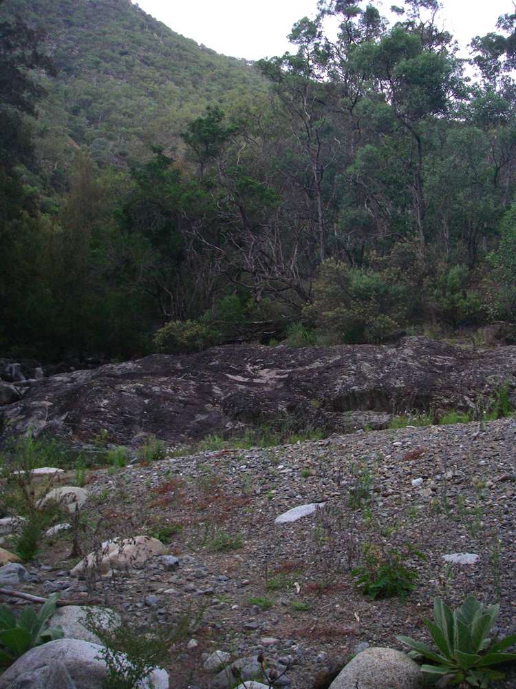
A few kilometres before the junction with the Gara River, the Salisbury disappeared into the gravel, and did not reappear.
April 2005

I was glad to see that there was water in the Gara, even if it was only a trickle. If travelling upstream or down the Gara at this point it would be easy to miss the junction with Salisbury Waters, which is not obvious.
After the junction, the stream becomes known as the Macleay. It used to be called "The Big Muddy" when there was a lot of ploughed land on the tablelands, leading to clay and silt in the stream. Now that the dominant activity is grazing, this is no longer the case, and the Macleay (when it runs!) is usually fairly clear.
April 2005
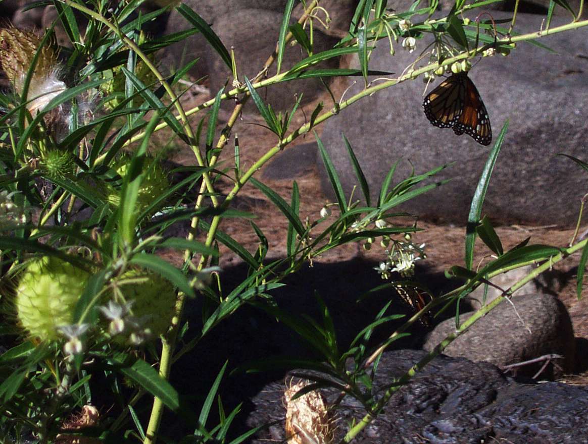
A Wanderer butterfly on one of the milkweeds which are used for nectar and for egg laying.
April 2005

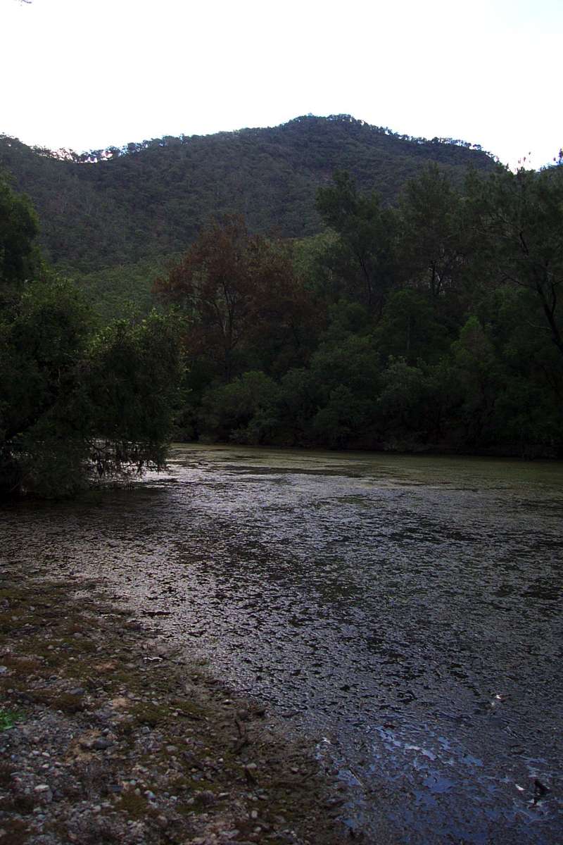
There were occasional pools, but little movement of water from one to the other, and the surface here was covered with algae.
April 2005
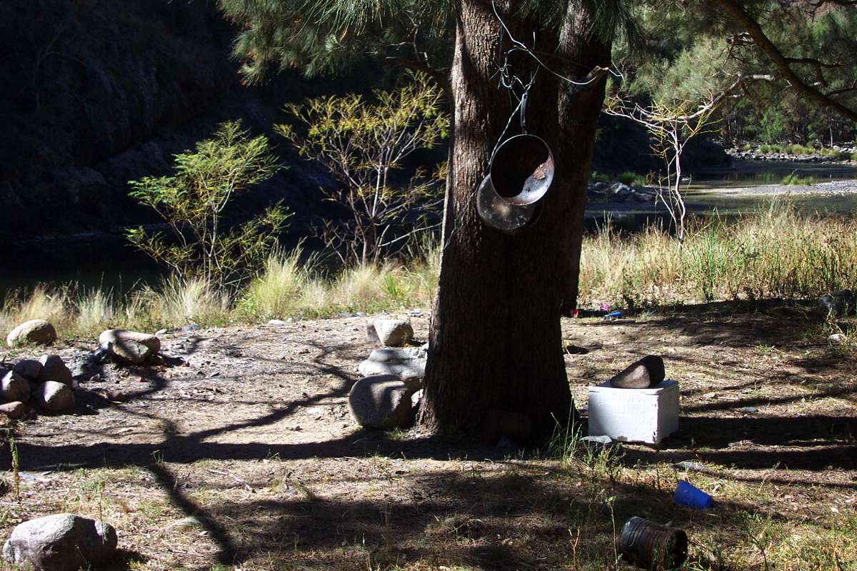
This is a favourite camp site for fishermen when conditions are better than at this time. They bring down and leave behind cooking utensils and rubbish. On one trip through here I met some National Parks blokes who were carrying it out of the park, since it is supposed to be a wilderness area where there is no rubbish whatsoever.
However the site was just as cluttered when I came through twelve months later.
April 2005

At this point there was no drinkable water whatsoever, and I was starting to wonder whether I was going to have to turn back. However I hoped for a trickle coming in through the gravel of Bakers Creek a little further down.
April 2005

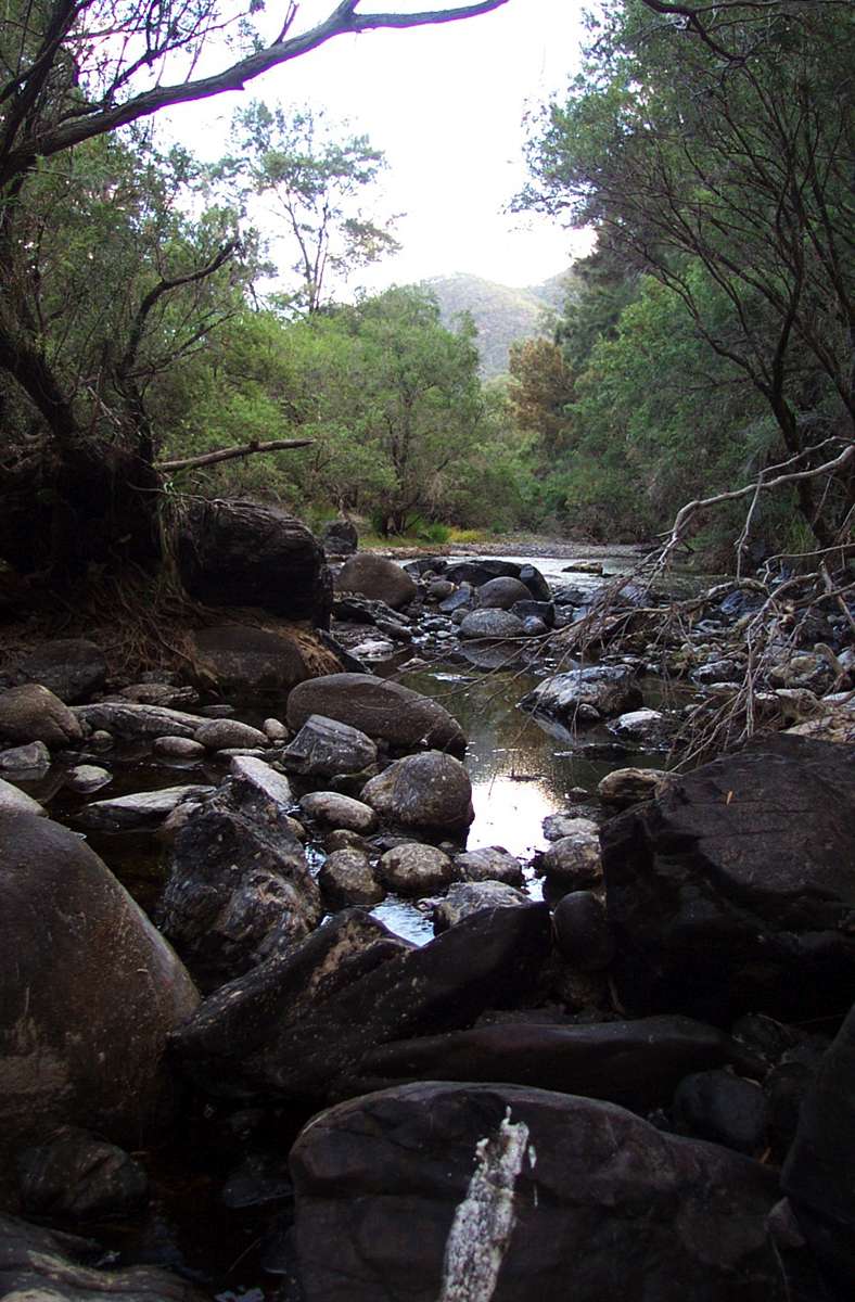
Sand, gravel and rounded rocks in the stream bed.
April 2005
At last I got to the campsite I wanted to use on an "island" at the junction with Bakers Creek, a lovely grassy flat area I've used many times, but the hoped for water was too thick to drink and too thin to plough.
I've had to swim across the Macleay at this point sometimes, though on this trip I was able to cross a few metres further down from this shot with dry boots. Things weren't looking good, so I decided to go back upstream to the last time I'd seen a couple of small clear pools in the Macleay above the junction about twenty minutes earlier. I took everything out of my pack except for a wine cask bladder that held seven litres and a water bottle, and set off.
April 2005
The water in the pools wasn't as inviting as I'd remembered, but there seemed to be some movement below one of the pools. I dug in the bed for ten minutes, tossing out rocks and gravel until I had space to put a bottle to catch a trickle coming downstream over a rock. I waited another five minutes for the water to clear, and got all the water I needed. It was good water, too, though anything wet was welcome by that stage.
I returned to my camp site, set up my tent, got a fire going, had a good meal and a good night's sleep.
April 2005

In the morning I found there was a better flow about twenty minutes downstream, at the base of the ridge leading up to Long Point Shelter Shed. The water might look a bit iffy in this shot, but the flow between the rock hollows was clear and the water was good. It can sometimes be difficult to cross the Macleay at this point when there is a strong flow of water.
April 2005
Bushwalking Index Anyone (e.g. students, libraries, government agencies such as tourist bureaus, the general public) may use, print and publish the photographs taken by me and presented on this bushwalking file for any legitimate non-commercial purpose, at no cost, and without asking permission. However a note such as "Photo: Don Hitchcock" somewhere in the document would be appreciated if it is to be published.