Back to Don's Maps
Back to Maps Page
Back to Archaeological Sites
Back to Dordogne Sites
The Dordogne - Photographs of the area
|
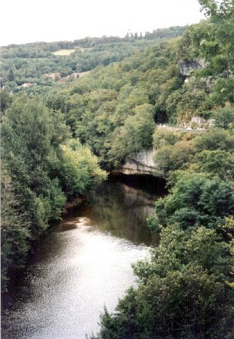
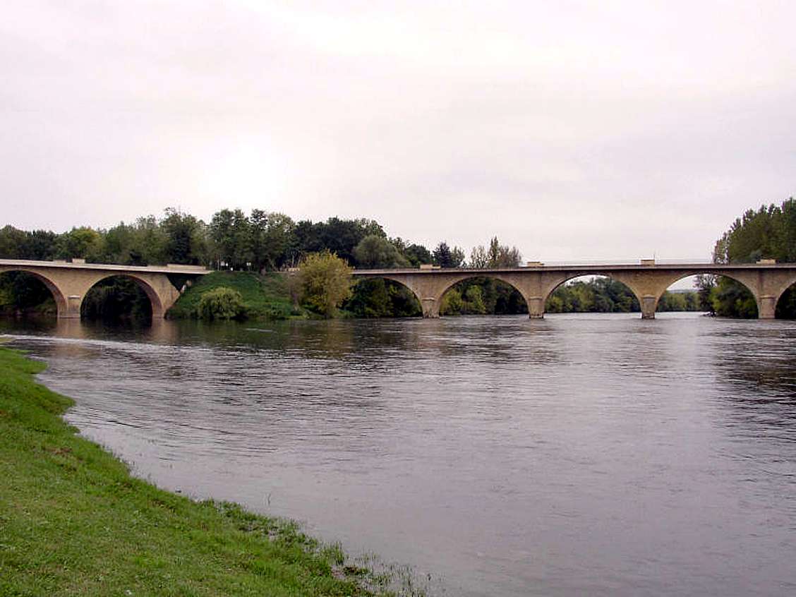
La Vezere by La Roque St Christophe
Photo: Sharon Rogers/walkhound 1999 |
 |
 |
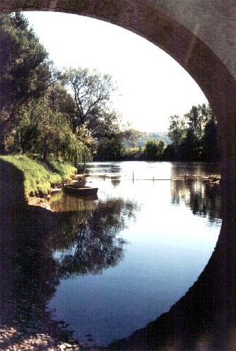
La Vezere by Laugerie Basse
Photo: Sharon Rogers/walkhound 1999 |
|
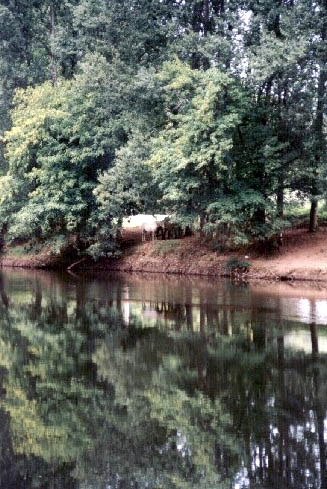
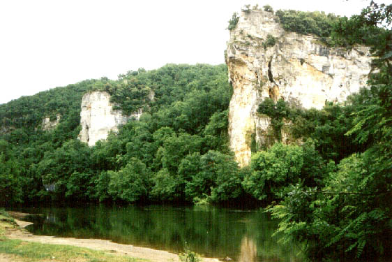
La Vezere valley
Photo: Sharon Rogers/walkhound 1999 |
 |
 |
Limeuil - La Vezere and La Dordogne converge
Photo: Sharon Rogers/walkhound 1999 |
The junction of the Vezere coming in from the left, and the Dordogne flowing towards the viewer from the right.
Photo: http://sitepasite.free.fr/dordogne/dordogne_vallee_vezere.html
|
Limeuil looking North East along La Vezere
Photo: Sharon Rogers/walkhound 1999 |
 |
 |
Limeuil looking west along La Dordogne
Photo: Sharon Rogers/walkhound 1999 |
|
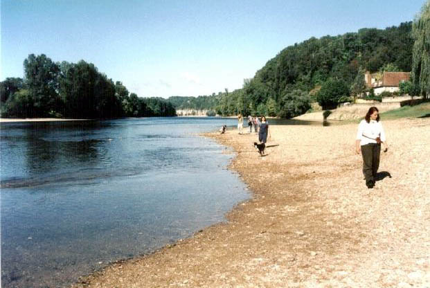
Looking south from Laugerie Basse
Photo: Sharon Rogers/walkhound 1999 |
 |
 |
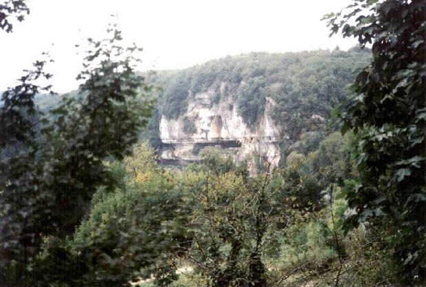
Looking south west from Les Eyzies
Photo: Sharon Rogers/walkhound 1999 |
 |
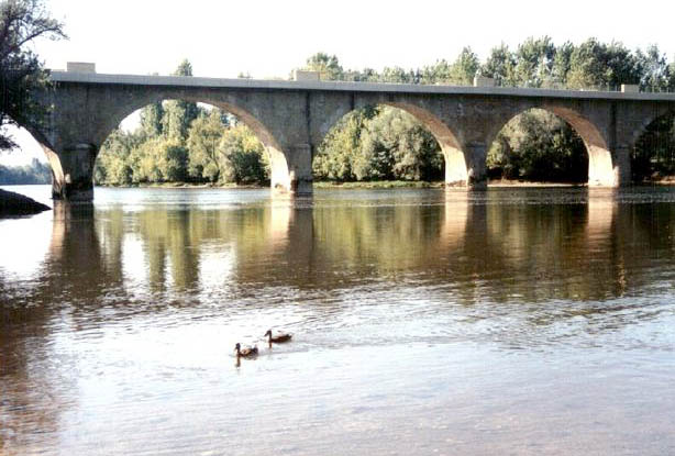
Dordogne River
Photo: Sharon Rogers/walkhound 2001 |
|
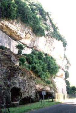
Les Eyzies
Photo: Sharon Rogers/walkhound 2001 |
 |
 |
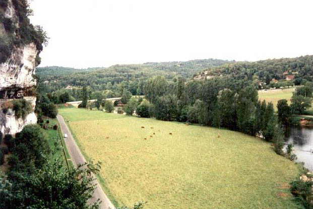
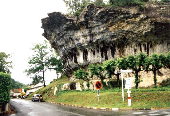
La Roque St Christophe
Photo: Sharon Rogers/walkhound 2001 |
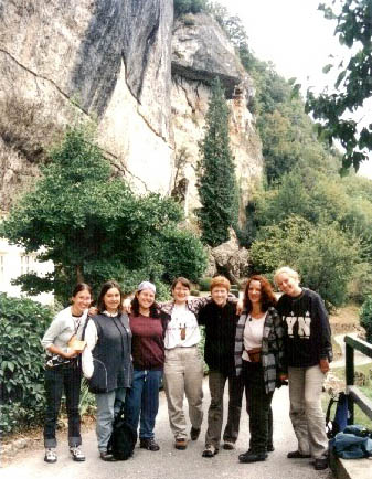 |
Euro summer meeting 2001 outside Laugerie Basse, not far from the collapsed rock shelter Laugerie Haute, which is the 9th cave of Zelandonii
Photo: Sharon Rogers/walkhound 2001 |