Back to Don's Maps
 Bushwalking Index
 Sarum Lookout, Salisbury Waters and McDirtys Lookout
Click on the photos to see an enlarged version
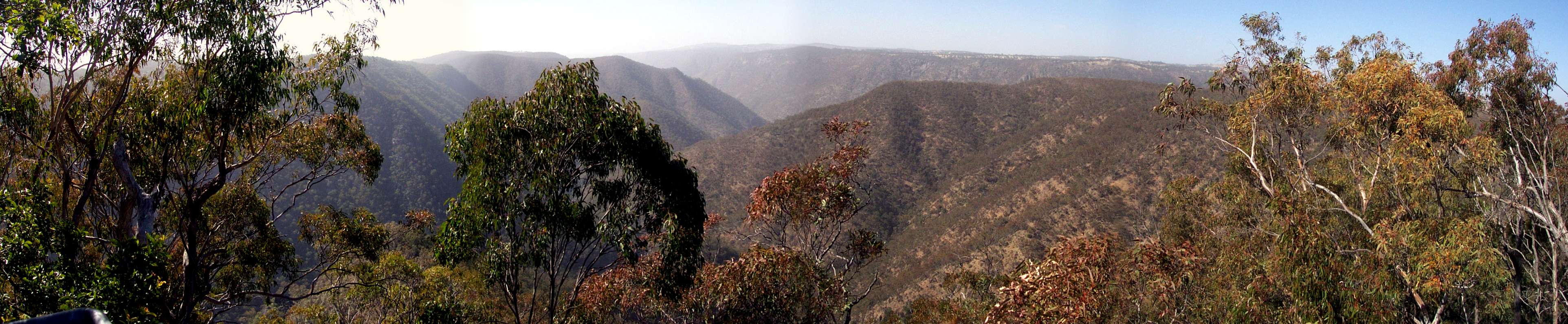
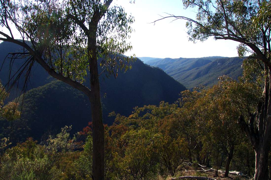
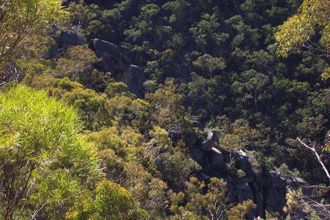
McDirtys Lookout Panorama.
Sarum Lookout and ridge on the right.
August 2004
Adapted from Wikipedia:
These track notes and photos are for the interest of armchair travellers only, and do not constitute comprehensive instructions for bushwalkers.
From the carpark at Dangars Gorge, cross the river and follow the track to the lookout above the falls (1.4 kilometres return), and Rock Wallaby Lookout (2.1 kilometres return). The track follows the gorge rim along a ridge to McDirtys Lookout (6.9 kilometres return). There are good places for picnics, camping and bushwalking. Salisbury Waters Walk - 14 km, 8 hours, difficult. This walk is an excellent introduction to gorge bushwalking, and can be undertaken in one strenuous or two leisurely days. From Dangars carpark cross the river (if the river is high do not attempt to cross), and follow the track past the turn off to McDirtys, heading out along the ridge as sign-posted past the Sarum Hill Lookout turnoff (10.7 kilometres return), [stay on the main track to Salisbury Waters or return to it if you have a look at Sarum Lookout] then descending 500 m to Salisbury Waters via the made track (14 kilometres return). [While enjoyable for fit walkers, most will have sore legs the next day if they have not done much ridge walking recently.]
The circuit from Sarum Lookout down the ridge, along Salisbury Waters, and up McDirtys Creek and McDirtys Ridge is for very fit, very experienced and well prepared bushwalkers only. There is no track for most of the way, it is very strenuous, and bush craft, topographical maps and compass are required. Sufficient water and food and survival equipment should be carried in case things go wrong. Always carry a Personal Locator Beacon, and tell reliable people where you are going and how long you will be away. Mobile phones do not work anywhere in the gorges for sure, and almost never even on top of the cliff line.
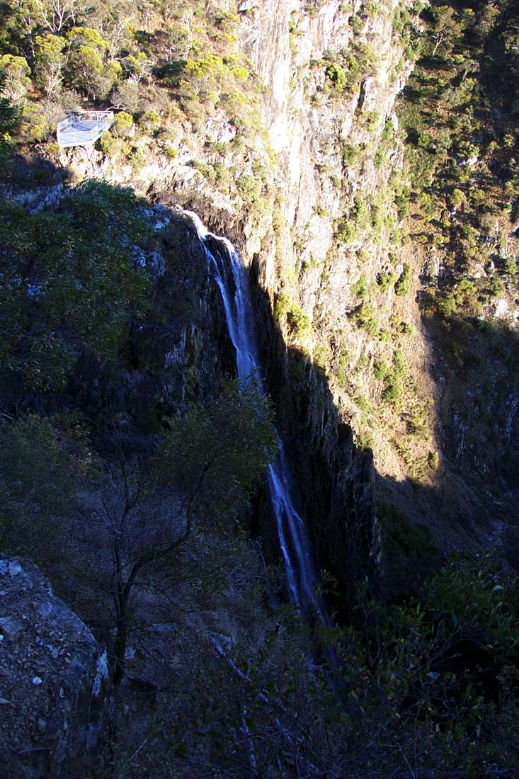
Dangars Falls, with not very much water going over the top.
August 2004
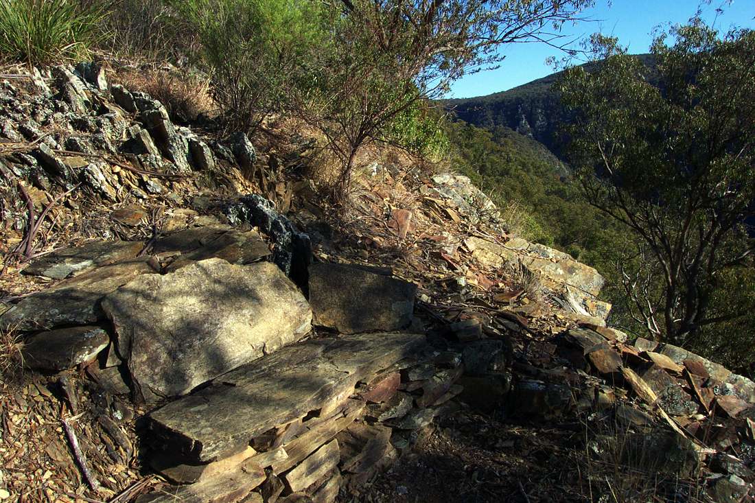
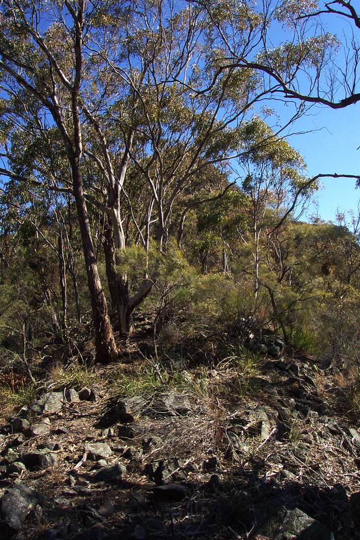
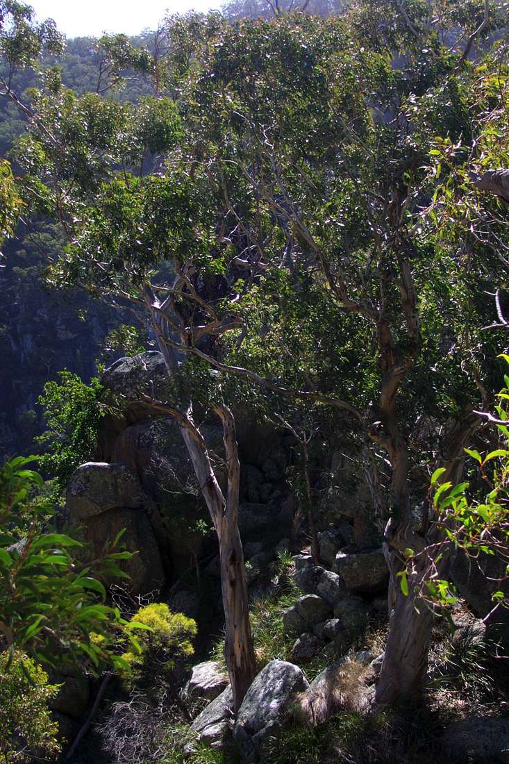
Sarum Lookout, with a neatly constructed stone seat.
August 2004
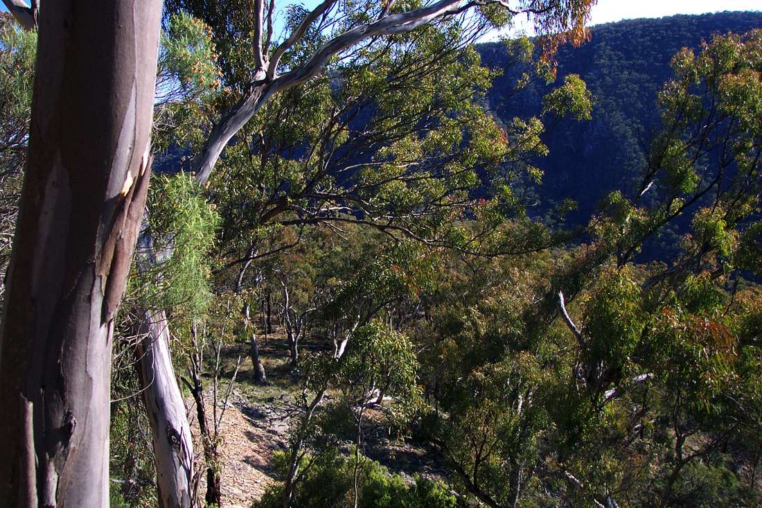
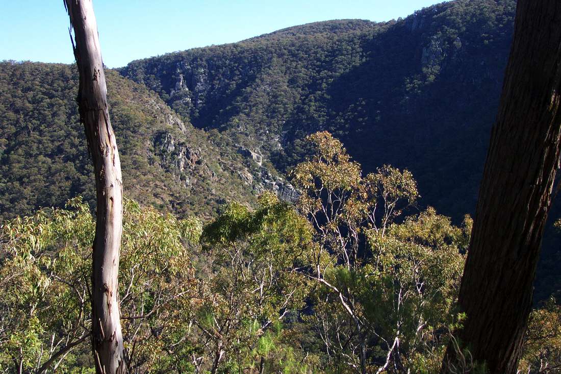
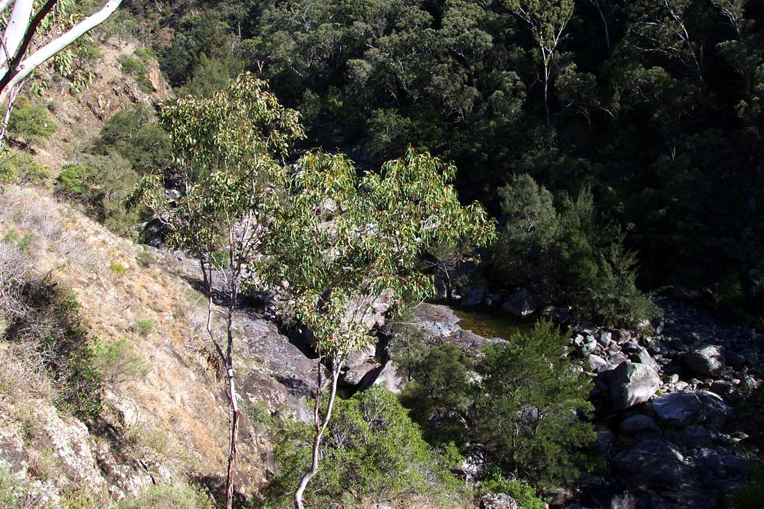
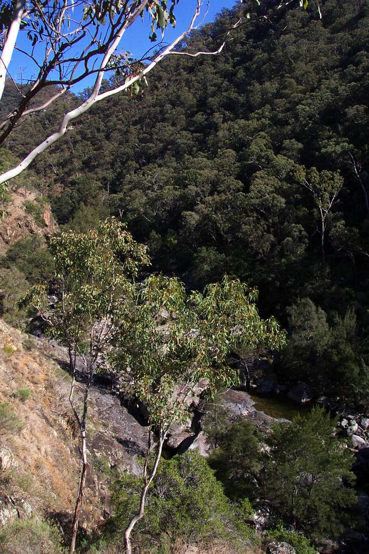
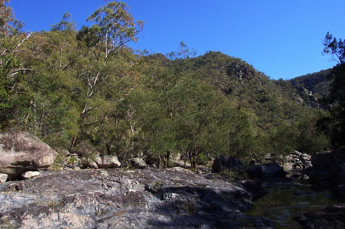
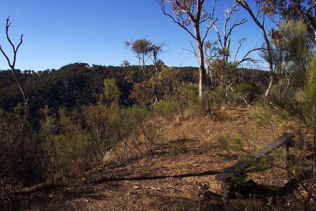
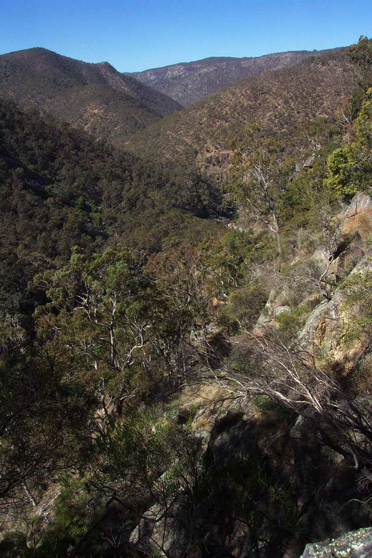
Looking down the Salisbury Waters gorge from Sarum Lookout.
August 2004
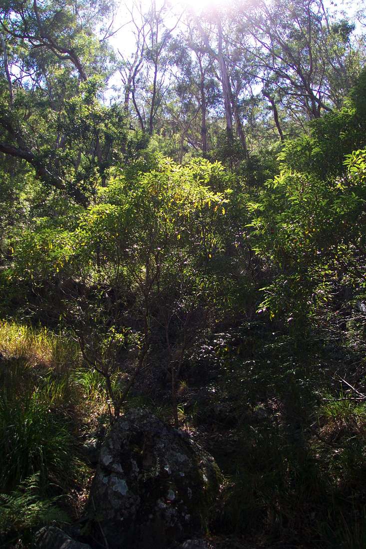
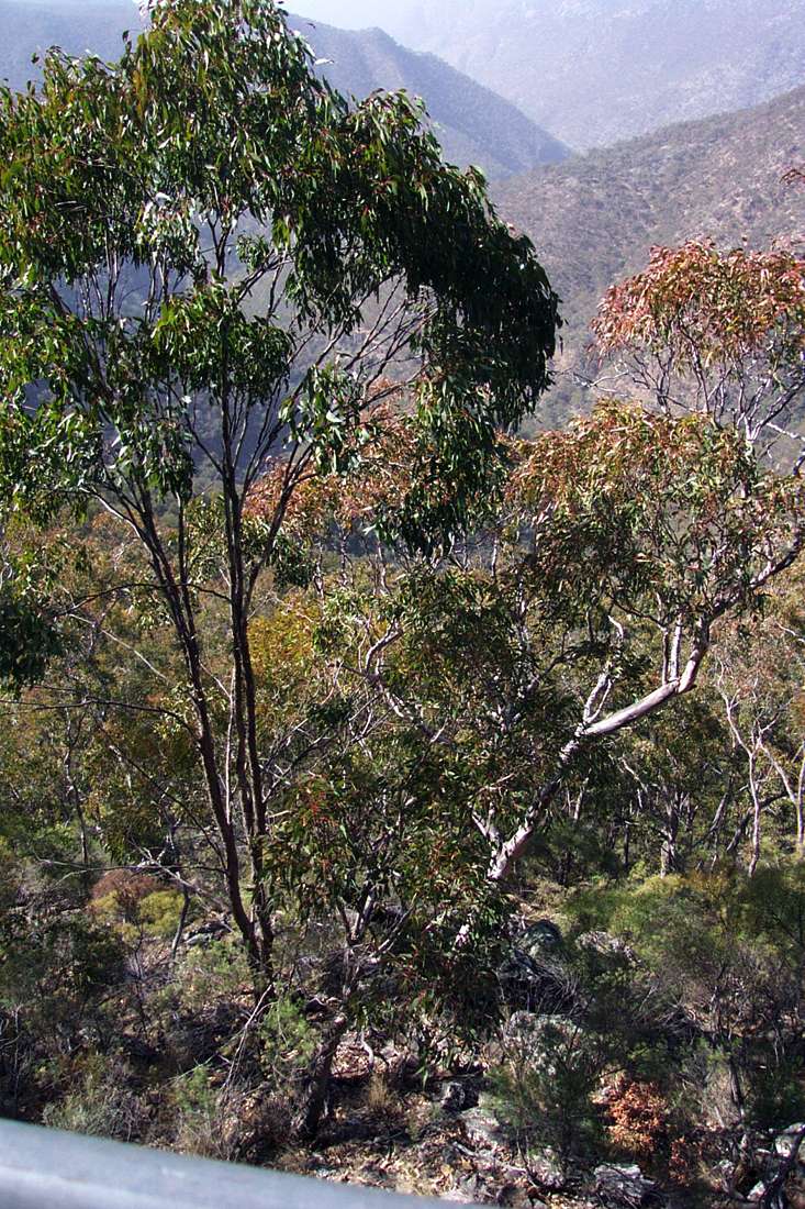
Looking upstream after starting down the Sarum Ridge.
August 2004
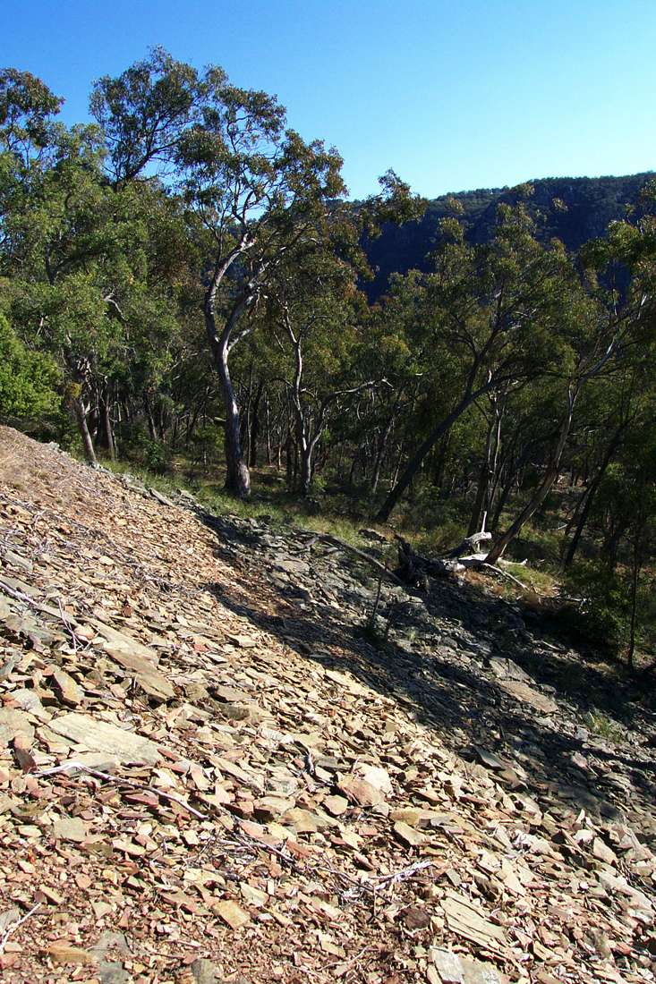
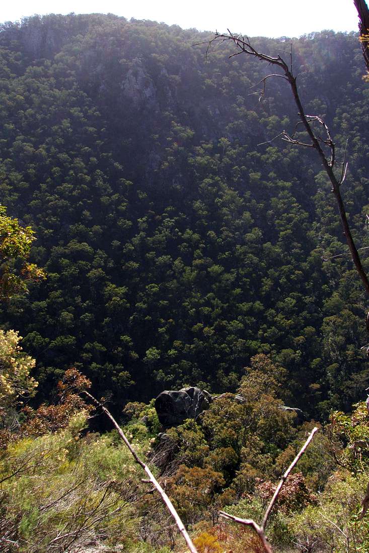
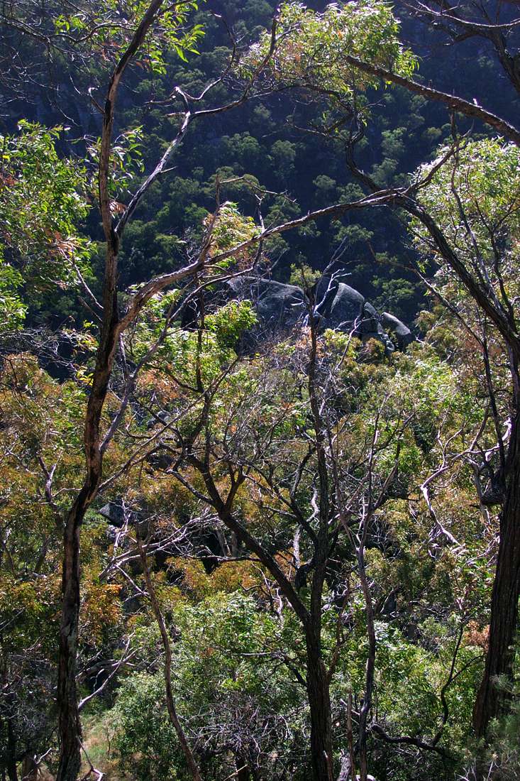
After starting down the obvious ridge, I traversed upstream across this unstable scree slope.
August 2004
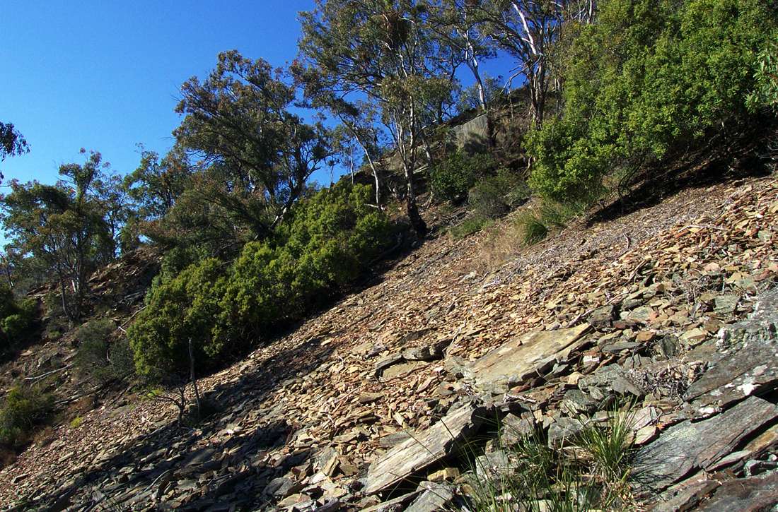
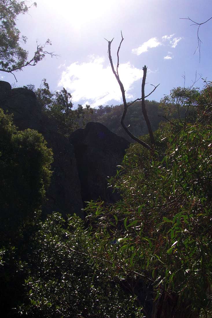
Looking back after the traverse, Sarum Lookout just hidden at the top of the ridge.
August 2004
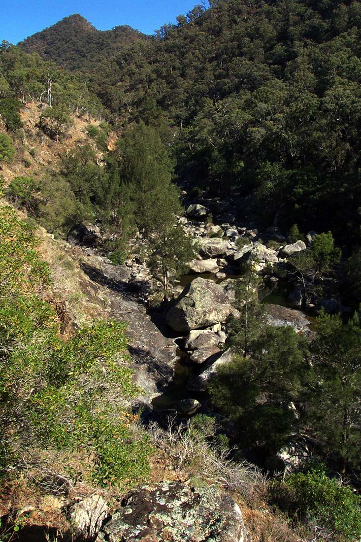
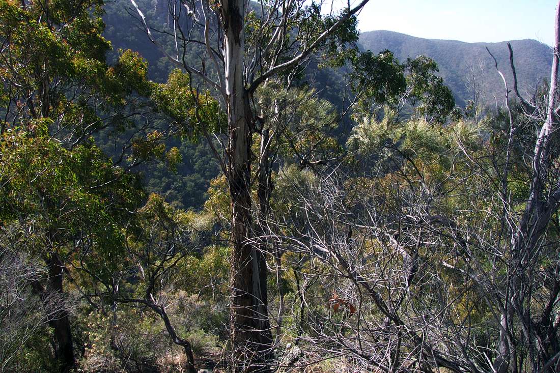
Looking upstream. I headed upstream and down hill after crossing the scree slope, until I got to the cliff line at the next creek heading into Salisbury Waters, and followed the cliff line and then the ridge down to Salisbury Waters.
August 2004
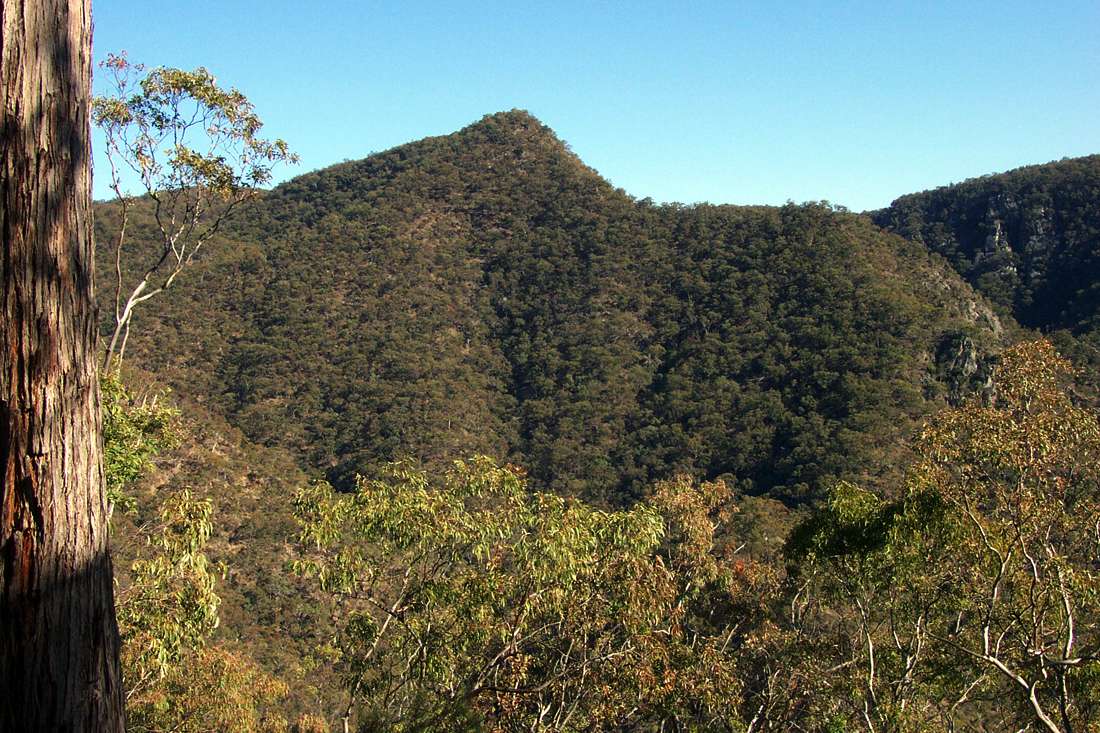
Further down the ridge, McDirtys Ridge and Lookout appear on the skyline. Note the steep bit before the lookout at the top.
August 2004
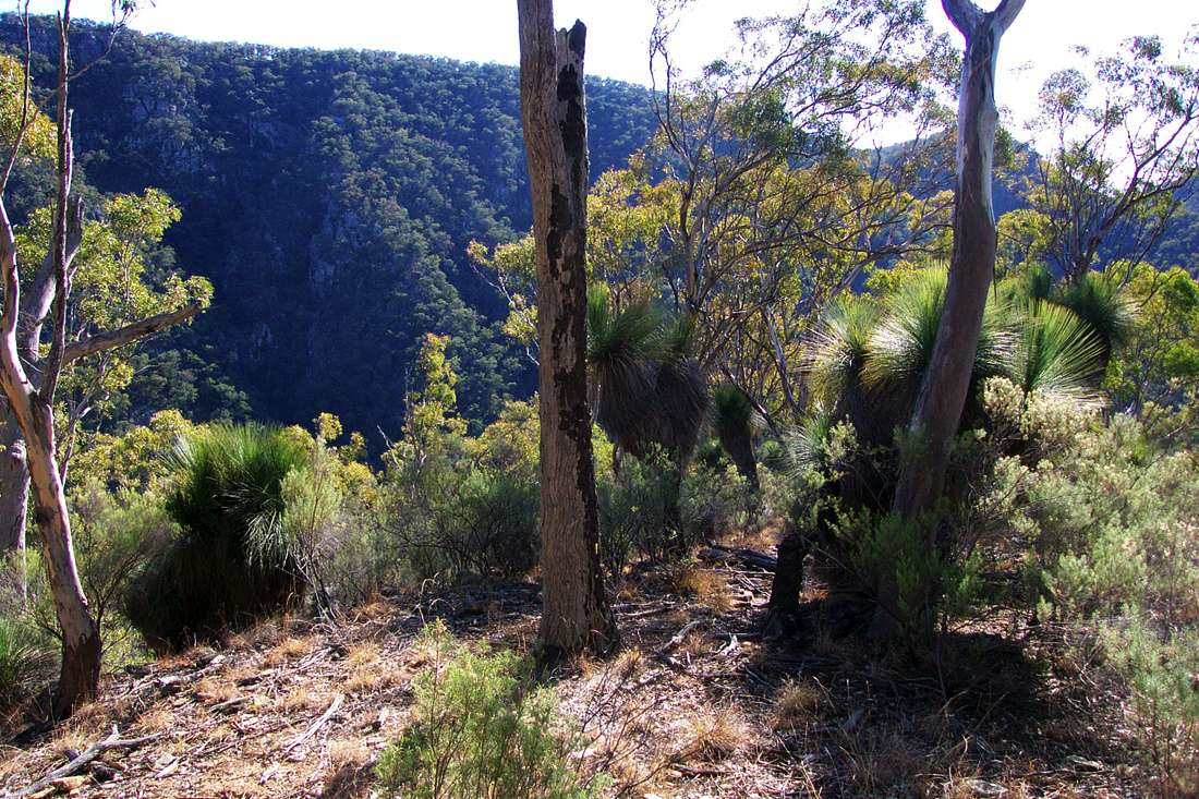
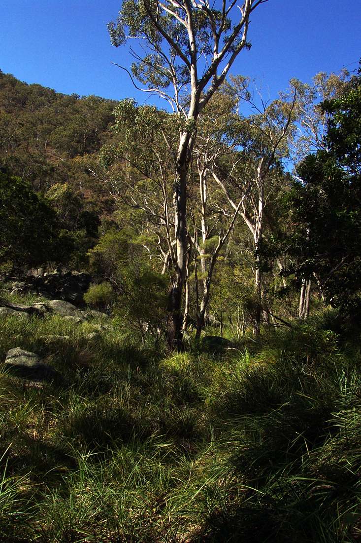
Grass trees on the ridge. They grow in very inhospitable places where little else could thrive, often on north west facing ridges, and withstand drought and fire.
August 2004

Some like this one divide into two or more branches.
August 2004
A flat spot on the ridge, with a kangaroo resting place bare of cover.
August 2004
At last the bottom of the gorge appears, but the way down is by no means obvious.
August 2004

I angled to the right down the ridge.
August 2004
Near the bottom the way to the water was still not obvious. A rope would have been handy.
August 2004
I followed the ridge down to the left, but came to a three metre cliff.
August 2004
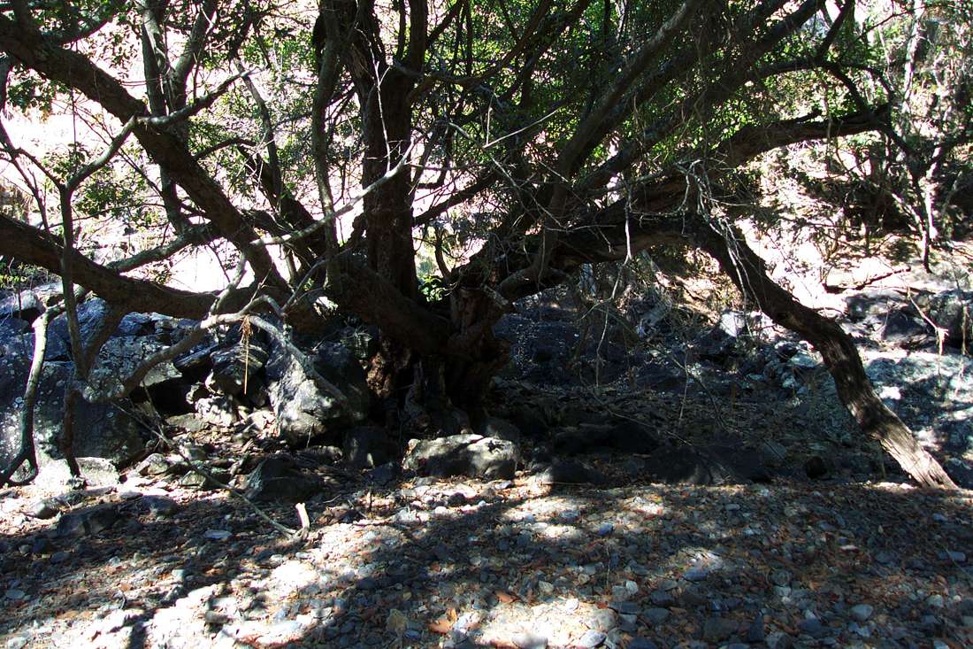
I traversed to the right, and found a rocky way down masked by the branches of a tree.
August 2004
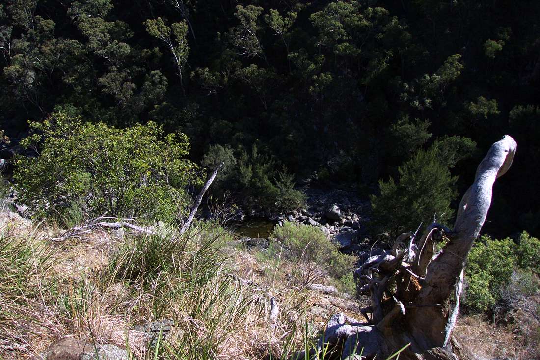
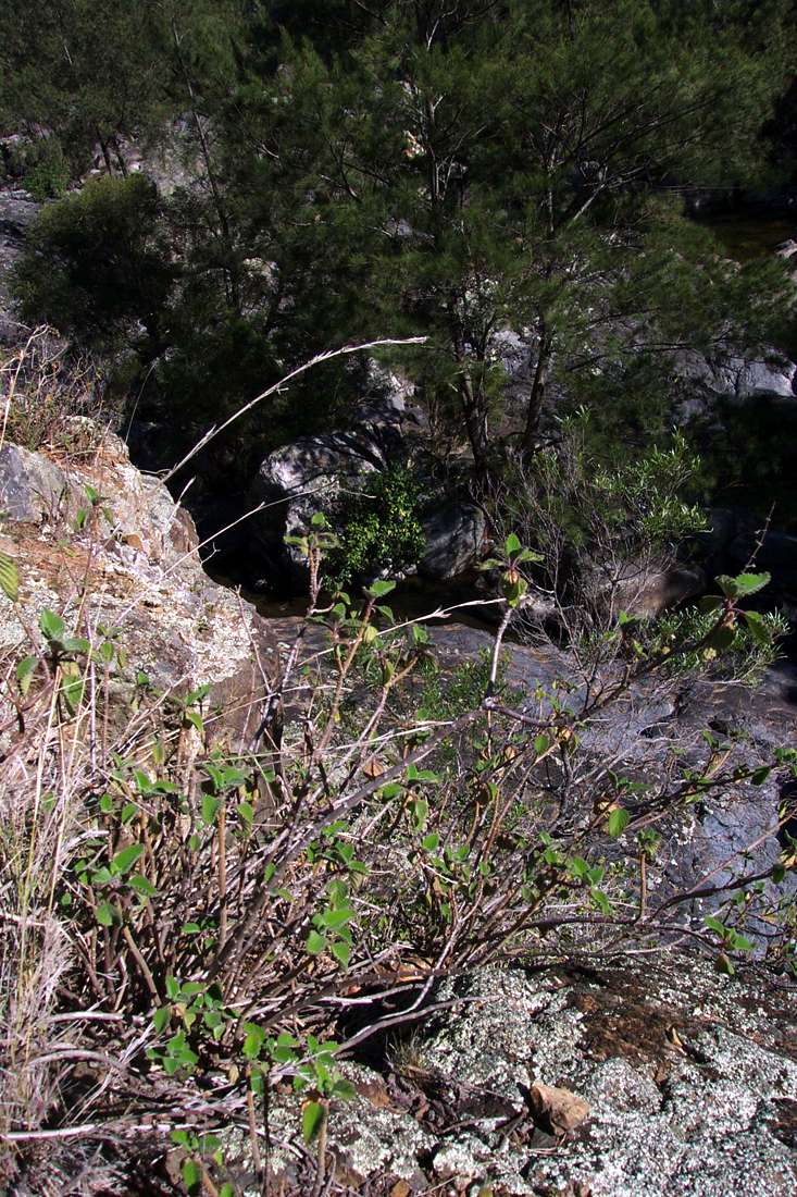
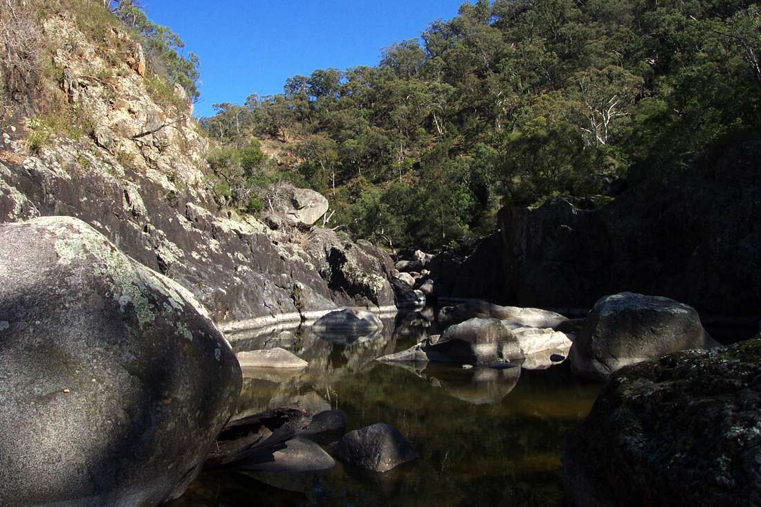
It was good to get to the bottom. There were no good camp sites, just rocks and blady grass, but there was a beautiful pool surrounded by large rocks.
August 2004

Looking back up the way I had come, the route was obscured by trees.
August 2004
A little further on there was a site which could be made into a usable area for one tent by terra forming the gravel under the tree. I have used it since, but it is really only for emergencies for a single walker.
August 2004
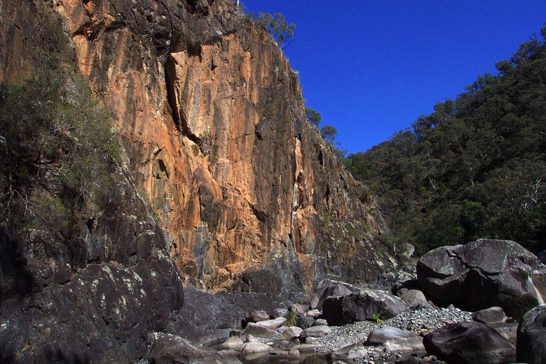
A distinctive red cliff face.
August 2004
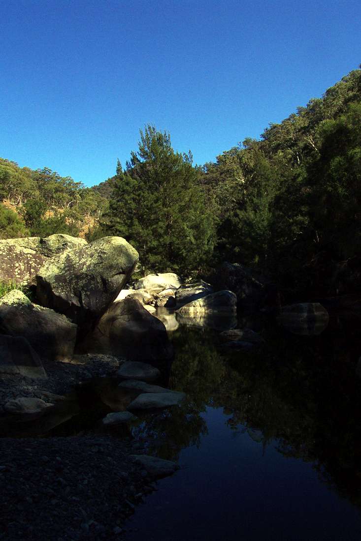
The pools were low because of the drought, though the water was good.
August 2004
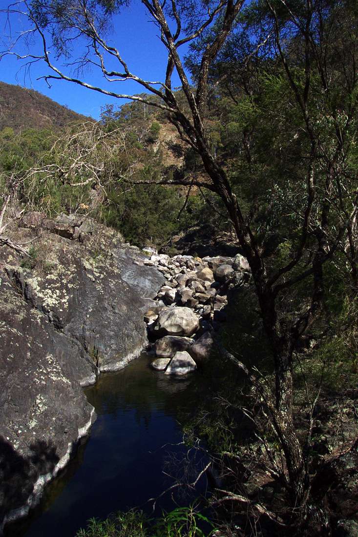
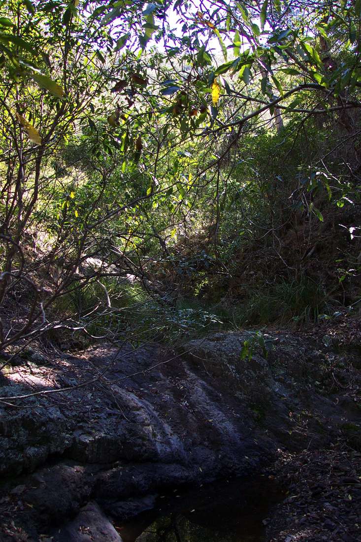
It was sometimes necessary to climb a little way up the cliff face, in this case to a horizontal shelf of rock tangled with trees and undergrowth. Salisbury Waters at this point demonstrates a series of rocky pools with a rock fall between each.
August 2004

A good lunch spot.
August 2004
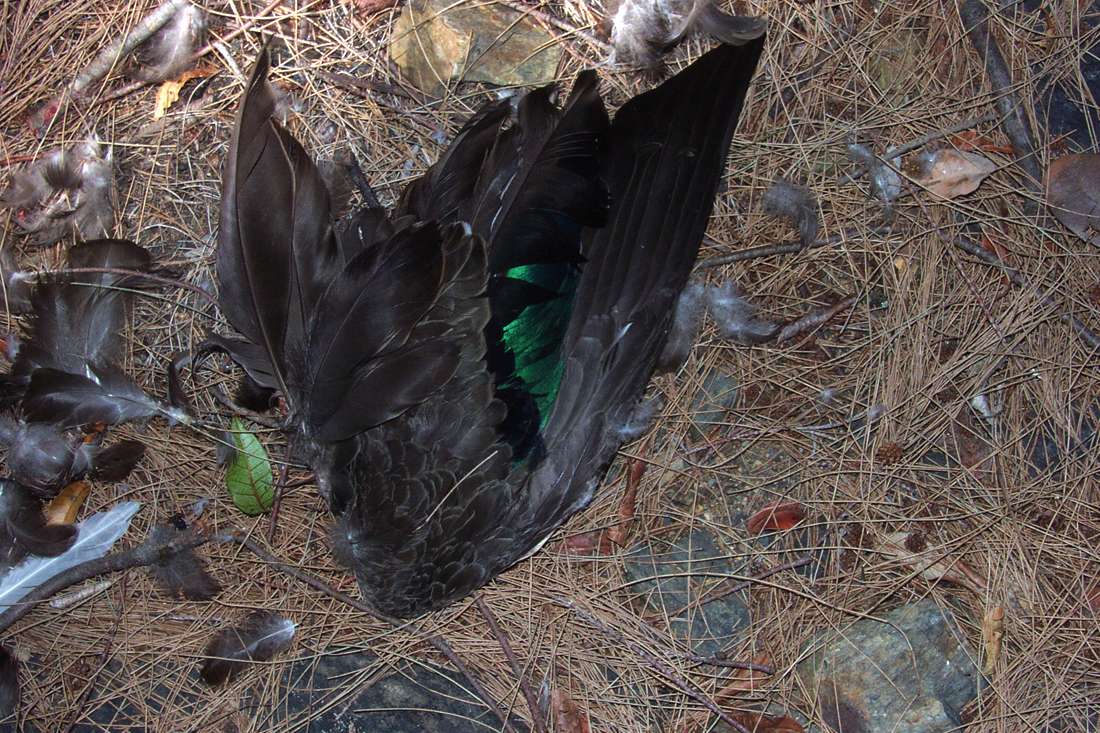
This native duck had met an untimely end.
August 2004
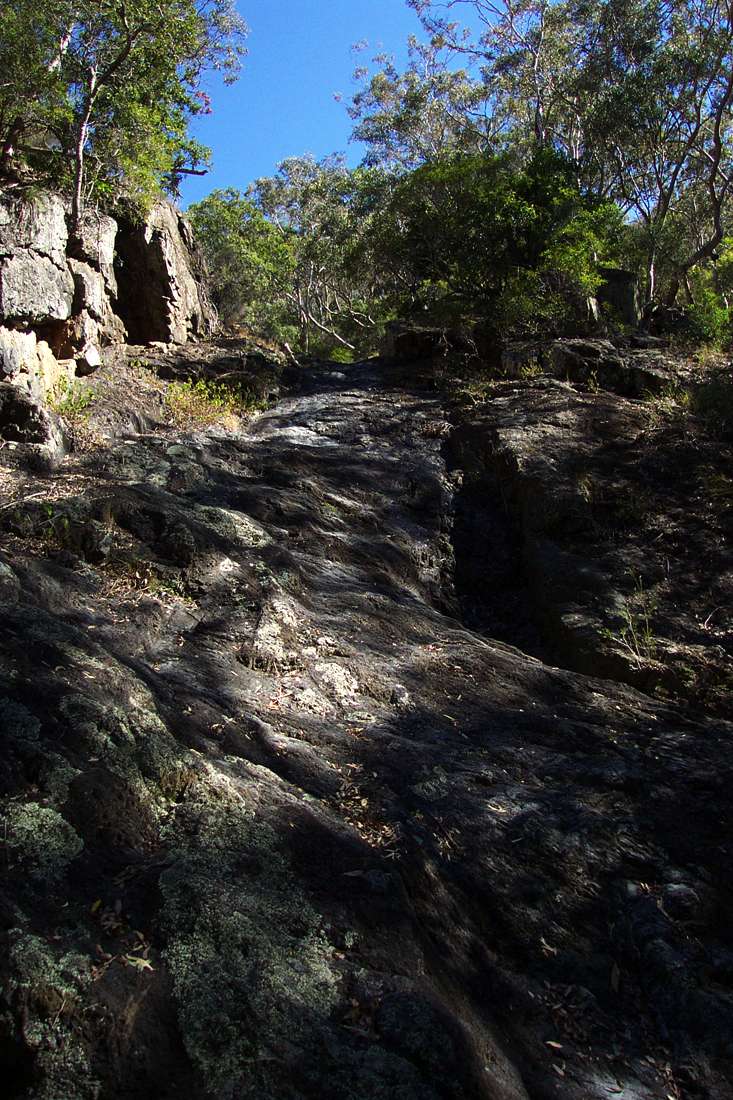
Easy going on smooth rock, at the base of the climb out up McDirtys Creek and Ridge. There were one or two places just here where McDirtys Creek enters Salisbury Waters that could be used as camp sites with a bit of work.
August 2004
There was no flow in McDirtys Creek.
August 2004
There were occasional pools, but they were stagnant.
August 2004
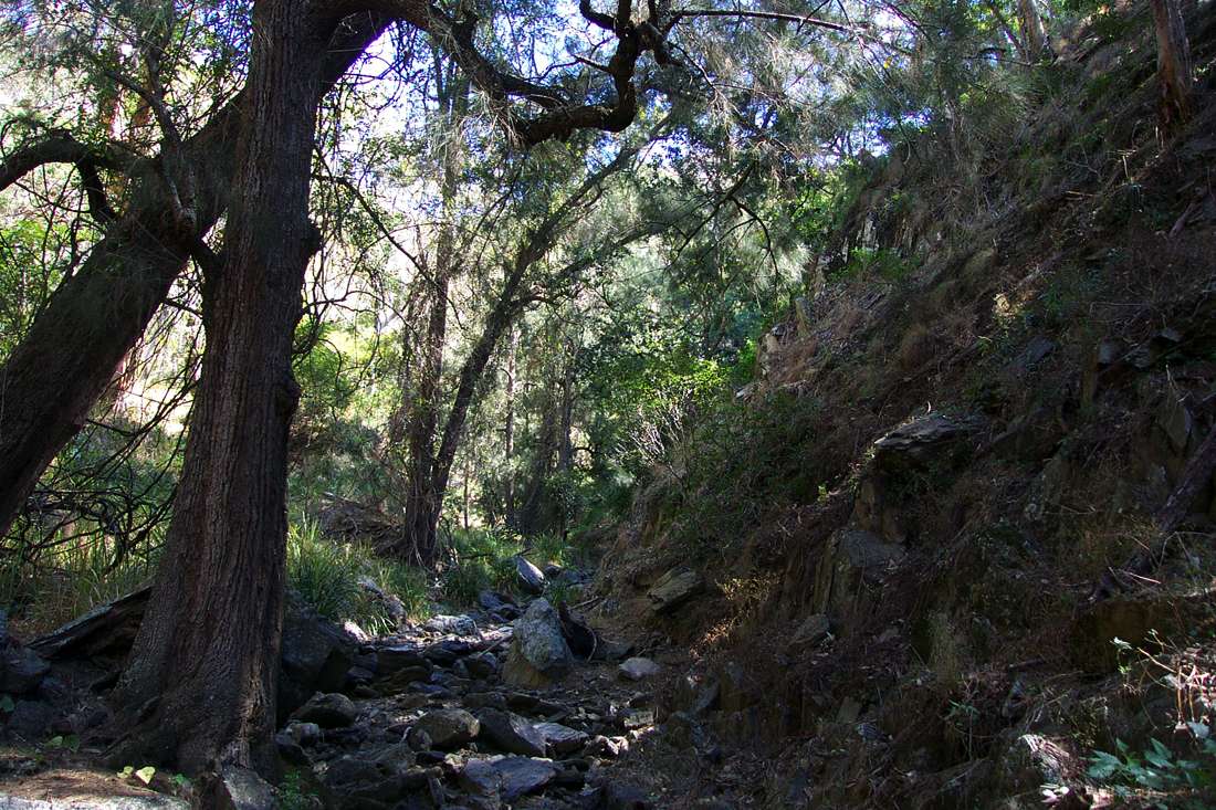
The sides of the valley were covered with growth. The broad gully shown here is the one I finished up ascending to the ridge on the skyline.
August 2004
The bed of the creek must be a series of waterfalls when rain falls. At about this point, about 100 metres up the creek, I abandoned the route up the creek and headed up the broad gully in the previous image towards the ridge line.
August 2004
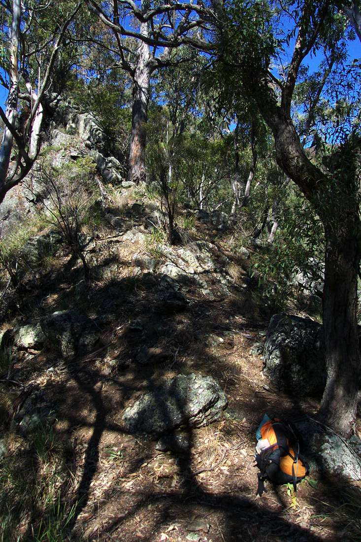
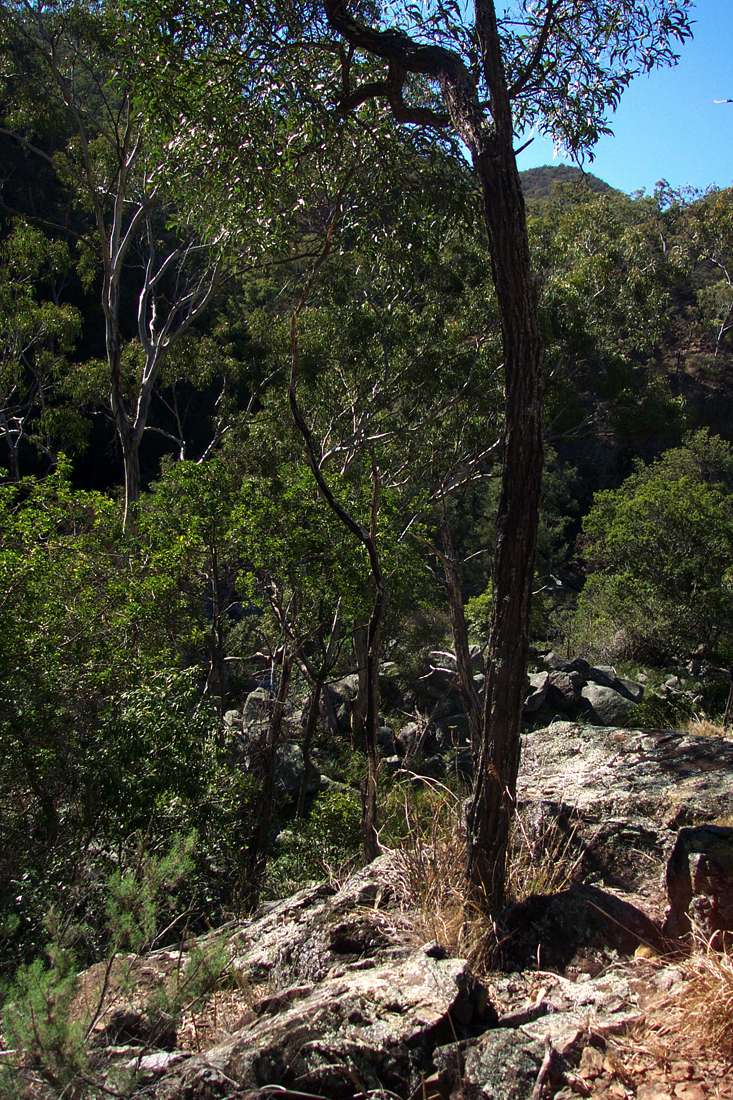
The ridge line was a welcome place to stop for a rest.
August 2004
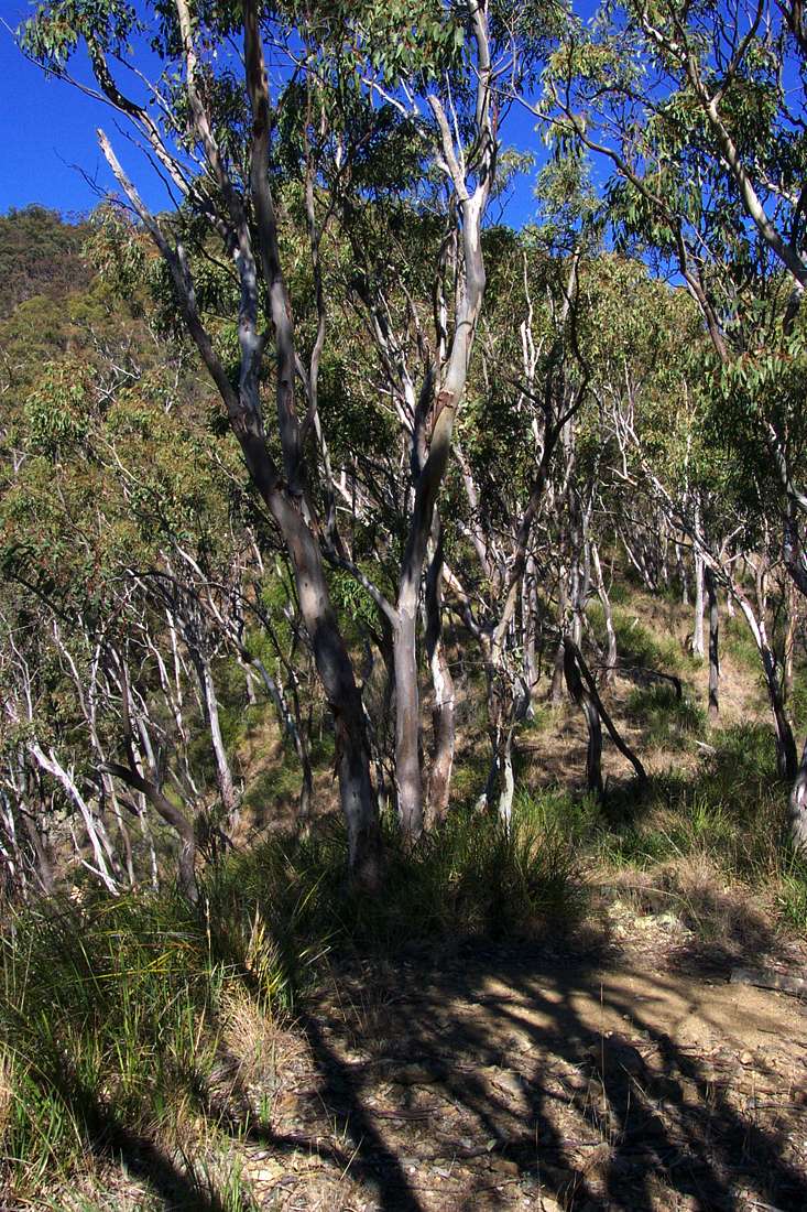
It was a steady slog at first, then it got steeper.
August 2004
Zooming in on the neighbouring ridge to the gorge bottom, the one I tried to come down the week before. This ridge is definitely a better proposition than that one!
August 2004
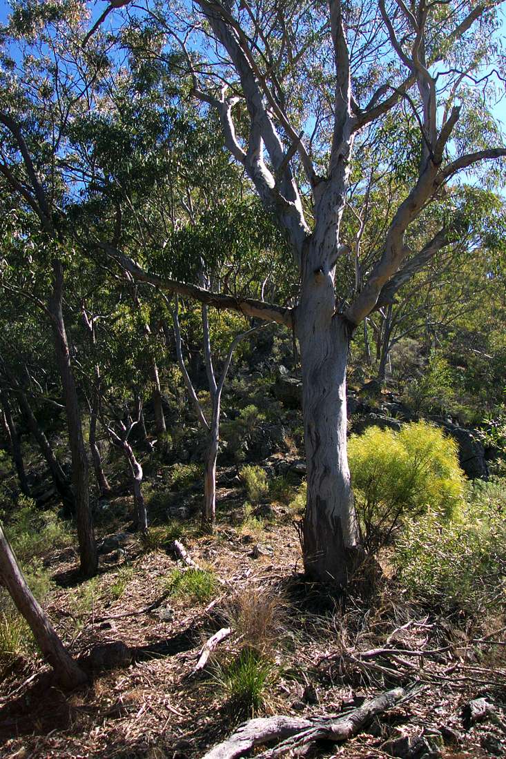
McDirtys Lookout in sight on the skyline.
August 2004
The last few hundred metres were very steep but not exposed, but it was still a relief to haul myself over the edge to the track.
It's not the route most people take to McDirtys Lookout!
August 2004
The circuit above is best done in the anticlockwise direction as described. I first tried to do the trip in the clockwise direction, going down McDirtys Lookout first, but found that access to the river if you go straight down the ridge is difficult.
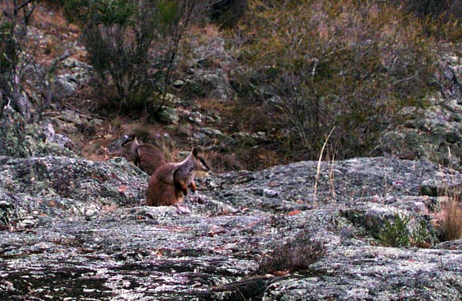
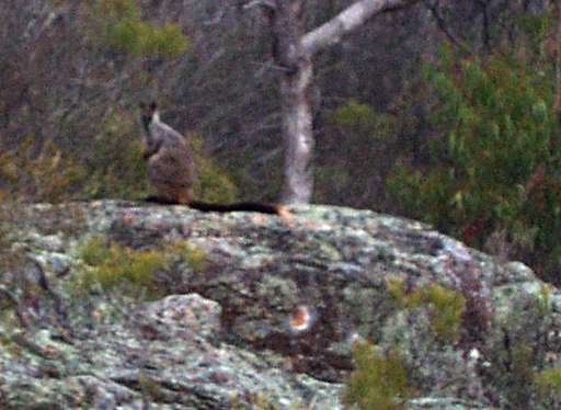
Brush Tailed Wallabies. Although rare and endangered, there are many of them in the Salisbury Waters Gorge system. These were at the rocks near the bridge over Salisbury Waters at the Carpark.
August 2004
Down McDirtys Ridge
It is, as always, much easier to find your way up a ridge than down it. I tried to go straight down the ridge, and got within fifty metres of the bottom, but was not happy with the steepness and exposure when I got close to the bottom, and turned back. The circuit described above comes up a side ridge, not up the main McDirtys Ridge that I tried to go down.
Below are images from my first attempt, the week before the images above.
The trip down McDirtys Ridge is for very fit, very experienced and well prepared bushwalkers only. There is no track at all, it is very strenuous, and bush craft, topographical maps and compass are required. Sufficient water and food and survival equipment should be carried in case things go wrong. Always carry a Personal Locator Beacon, and tell reliable people where you are going and how long you will be away. Mobile phones do not work anywhere in the gorges, and often not on top of the cliff line.
McDirtys Lookout has a platform set high above the steep slope, but it is possible to leave from that point by going down to the right of it.
August 2004
Looking down the ridge, which at this point is highly vegetated.
August 2004

It is necessary to traverse from side to side of the ridge sometimes.
August 2004
The ridge is distinguished by a large smooth rocky protuberance which must be bypassed.
August 2004
I went to the right of the rocks.
August 2004
I got a little further down the ridge than shown in this photo, perhaps fifty metres from the bottom, but decided to pull the plug when I could not see a safe way down to the river without a rope. I climbed back up to the lookout, and took the tourist track down to Salisbury Waters.
August 2004
Bushwalking Index Anyone (e.g. students, libraries, government agencies such as tourist bureaus, the general public) may use, print and publish the photographs taken by me and presented on this bushwalking file for any legitimate non-commercial purpose, at no cost, and without asking permission. However a note such as "Photo: Don Hitchcock" somewhere in the document would be appreciated if it is to be published.