Back to Don's Maps
Cycling down the Danube
Day 1, 1st September 2008
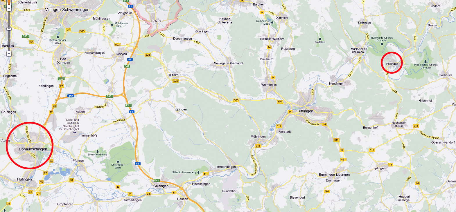
From Donaueschingen to Fridingen, 50 Km
Photo: Google maps
We started our journey at Schutterwald, Germany, a village outside Offenburg in the Black Forest, where some of Maria's German relatives live.
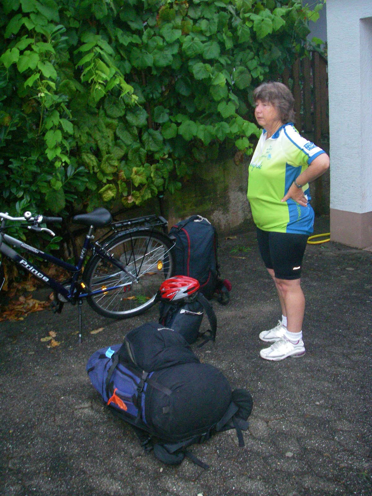
First we had to figure out how to get the packs onto the bikes. This wasn't going to be easy.
We finally lashed the packs onto the carriers using octopus straps. It was quite unstable until we figured out a method that worked reasonably well. I strengthened my carrier with some spare tent pegs and duct tape to take the strain of my unavoidably heavy pack, which included the tent and cooking gear as well as tools for the bikes.
Then we pulled it all apart, and packed everything into Herbert's 4WD for the trip to the station in Offenburg, and left on the fast train to Donaueschingen, where the Danube rises. Germany really looks after cyclists - we had the whole special cycling carriage to ourselves!
Photo: Don & Maria Hitchcock 1st September 2008
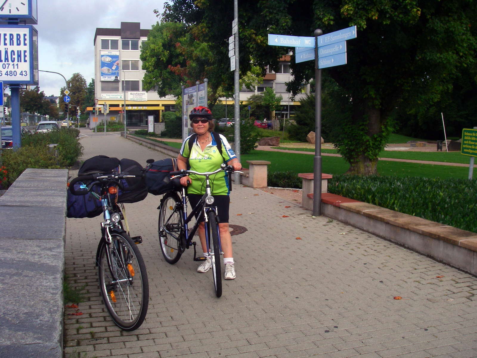
We got our packs strapped on the bikes again at a park nearby to the Donaueschingen railway station.
Here we are ready to start at Donaueschingen, with the sign pointing to the Donauquelle!
Photo: Don & Maria Hitchcock 1st September 2008
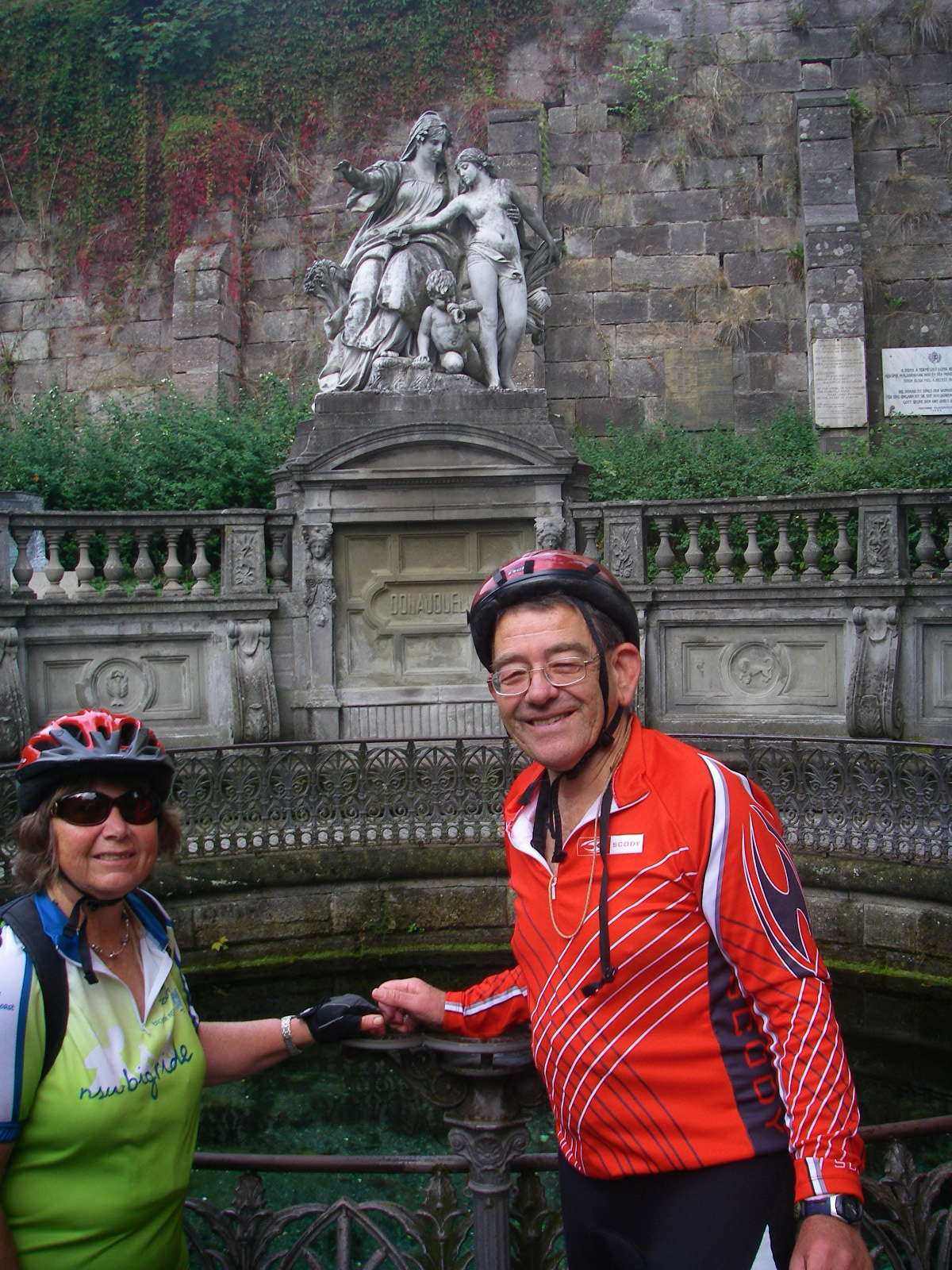
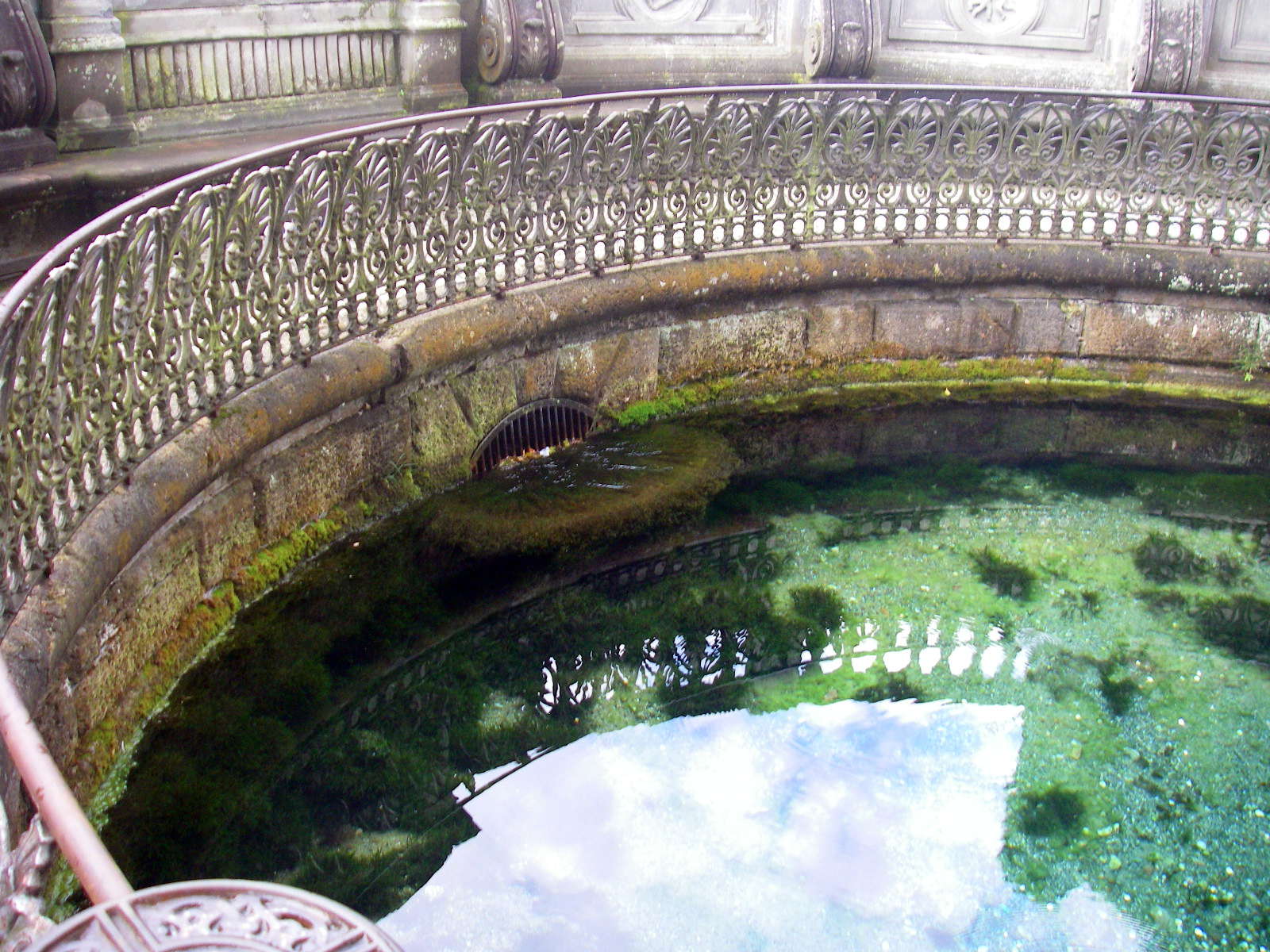
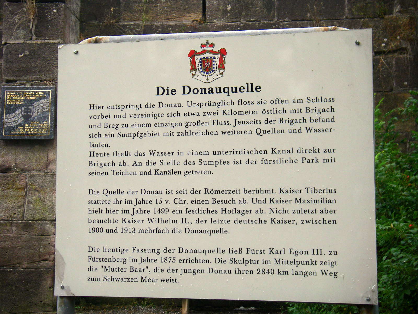
At the Donauquelle, the beginning of the Danube. A spring at the castle here flows out of the pool and becomes the Danube.
The river empties into the Black Sea 2840 kilometres away, but the cycleway takes a lot longer to get there!
We rode 1500 km from Donaueschingen to Budapest.
Photo: Don & Maria Hitchcock 1st September 2008
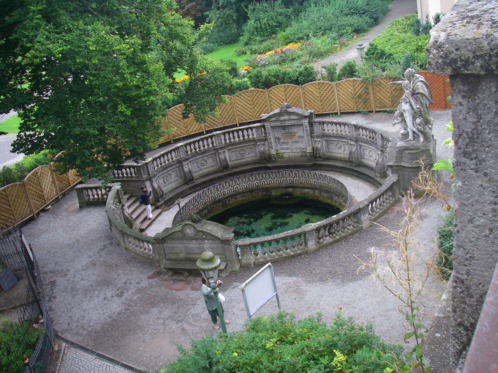
The Donauquelle is in a beautiful setting in front of a small castle, with a marble statue and ornamental stone fence.
Photo: Don & Maria Hitchcock 1st September 2008
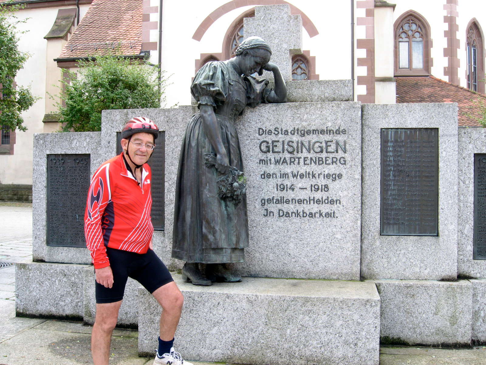
A memorial to those who fought in WWI, and those left behind.
Photo: Don & Maria Hitchcock 1st September 2008
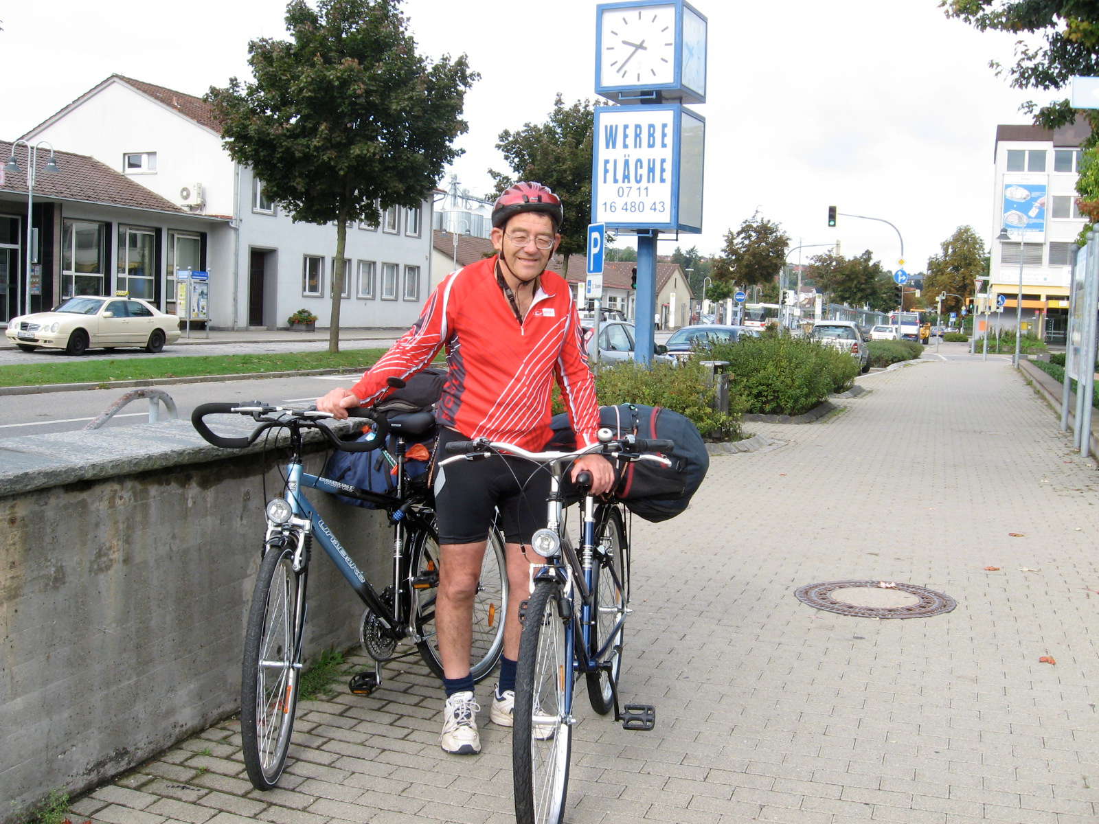
We found the Radweg signs, and began our journey proper at about 1000, having got into Donaueschingen on the train at 0915. I had imagined that it would be like a four lane highway for bicycles, but it was not to be.
Mostly what they have done is simply linked the existing cycle paths in each town and village, sometimes with a purpose built radweg, sometimes just a painted lane on one side of a main road, and sometimes not even that, especially as we left cycle-friendly Germany and Austria behind on the way down the Donau.
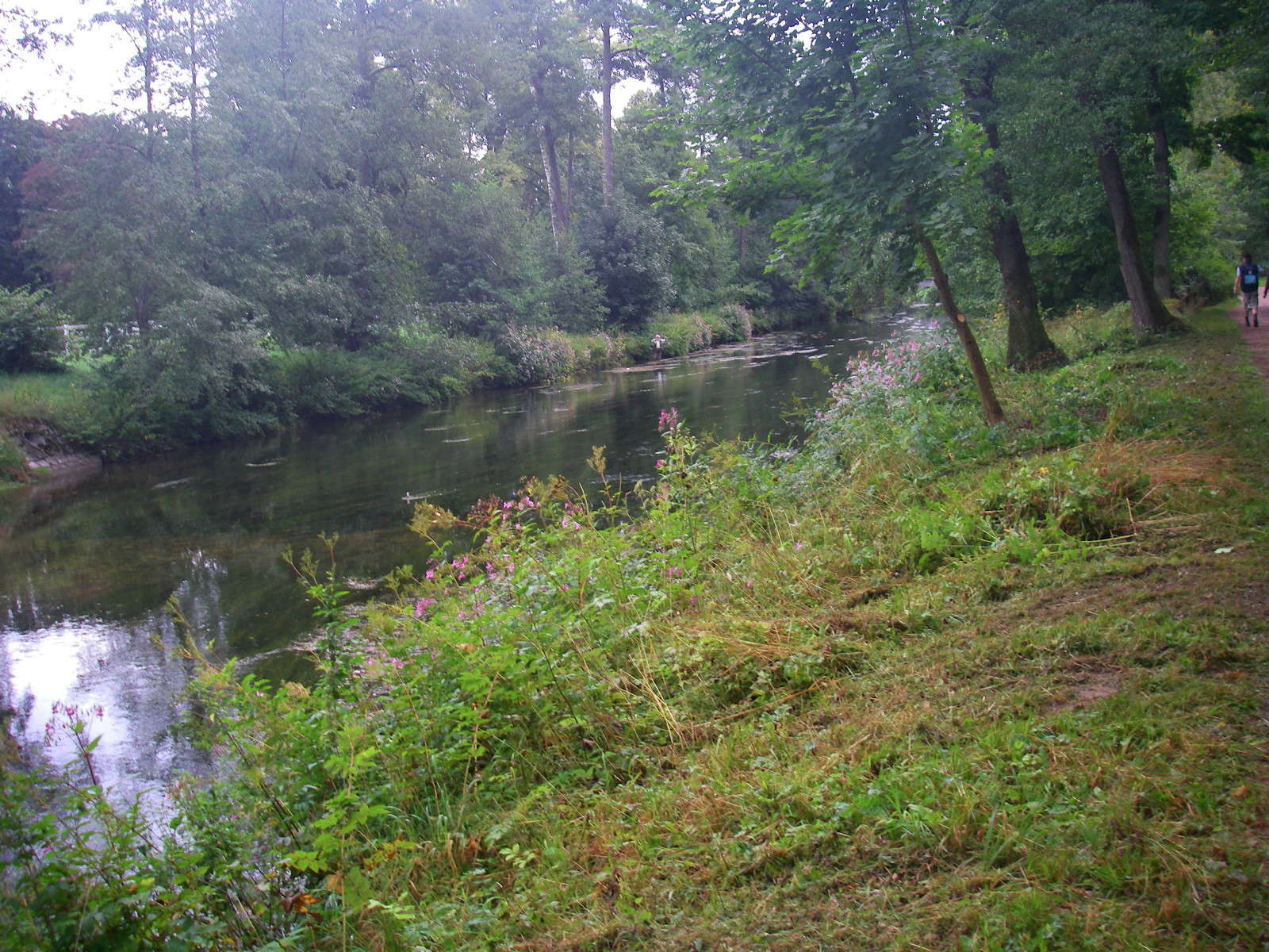
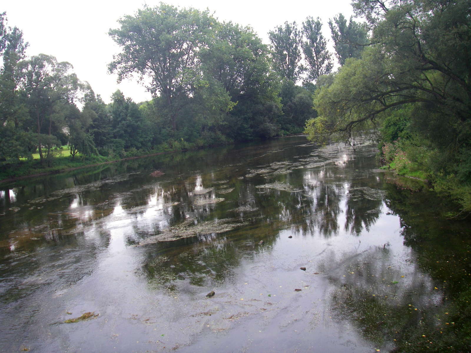
The Donau is not very imposing at first. Other tributaries quickly make it broader, though still quite shallow.
Photo: Don & Maria Hitchcock 1st September 2008

The cycleway follows the stream for most of this section. Further down, the Radweg or cycleway leaves the river in wide loops before returning. It is mostly farming land at this point.
Photo: Don & Maria Hitchcock 1st September 2008
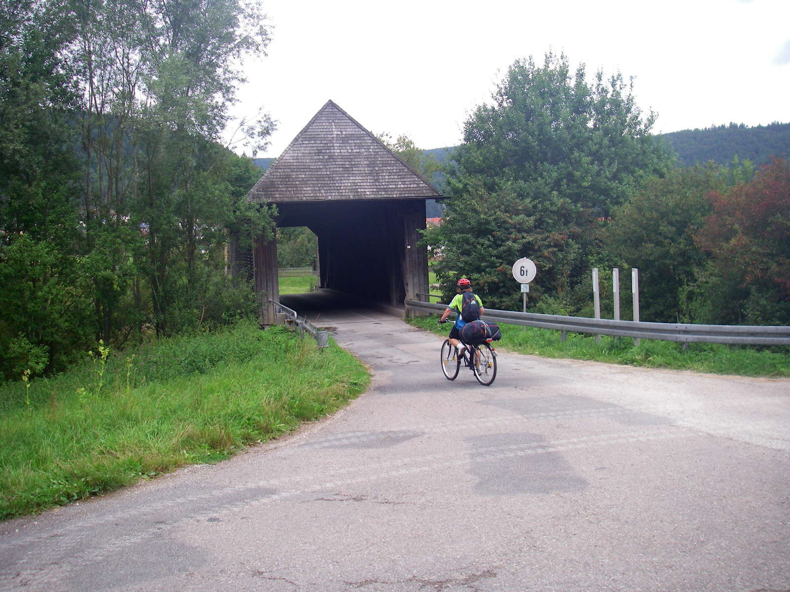
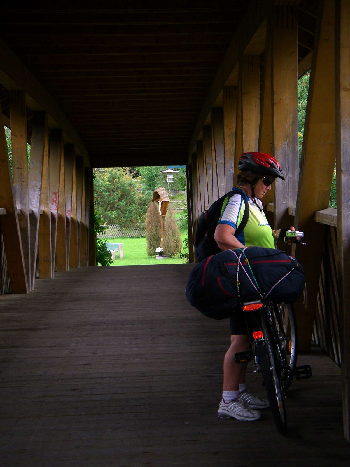
This was the first of several covered bridges. The roof keeps the snow off the bridge in winter, making crossing less treacherous, and it helps to preserve the timber of the decking from weathering.
Photo: Don & Maria Hitchcock 1st September 2008
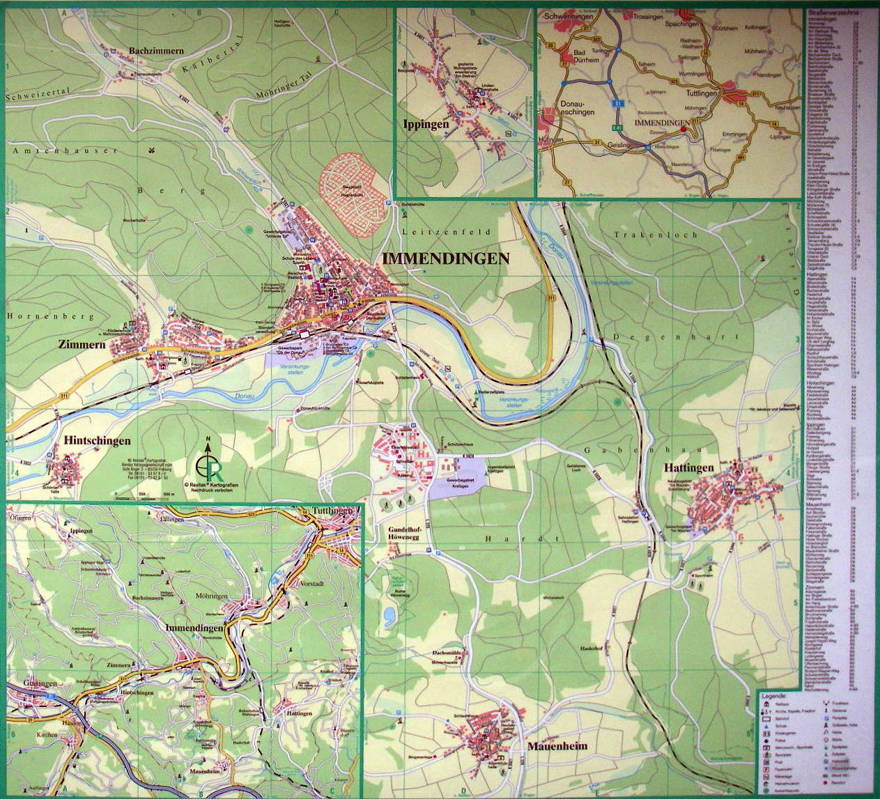
Map of the region.
These roadside maps were very useful for the first part of our journey, since we had not yet got a good set of maps of the cycleway, we were using a cycleway guide book with poor maps, and which was not always as helpful as it might have been.
We were now come 23 km of the 38 km distance between Donaueschingen and Tuttlingen, and making good time.
Photo: Don & Maria Hitchcock 1st September 2008
This was another beautiful covered wooden bridge for cyclists and pedestrians, with the deck in an arch over the river, and superbly maintained.
Photo: Don & Maria Hitchcock 1st September 2008

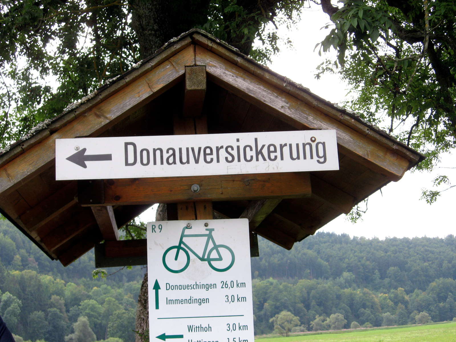
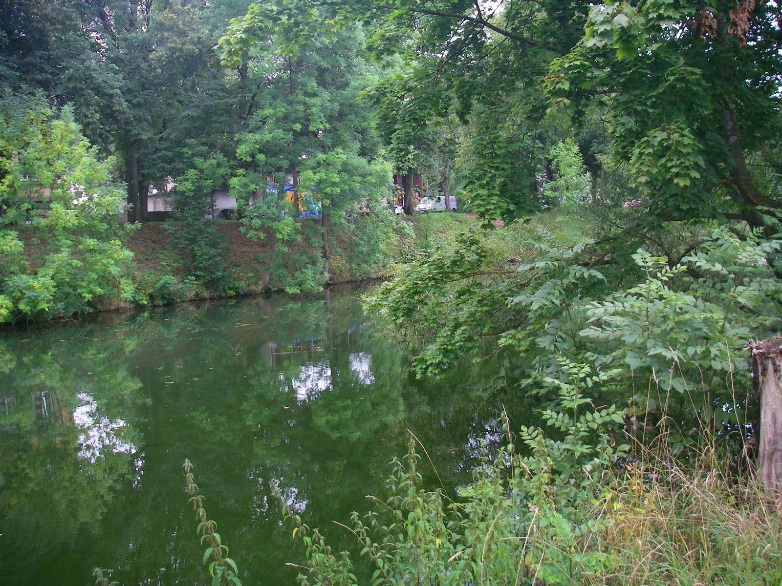
At this point we had come to the Donauversinkung or Donauversickerung, where the Danube disappears for many days of the year, especially in summer. The water trickles underground through a limestone karst system, and ends up in the Bodensee, Lake Constance, from where it feeds the Rhine river.
In the long term, it is expected that this underground system will eventually take over all the water of the Danube at this point. The underground system dissolves 2700 cubic metres of limestone from the karst system each year, steadily enlarging the underground river, and probably eventually leading to sinkholes between this point and Aachtopf, 12 km away/
When this happens, the now insignificant tributaries of Krähenbach (in Möhringen ) and Elta (in Tuttlingen ) will become the new headwaters of the Danube.
Photo: Don & Maria Hitchcock 1st September 2008
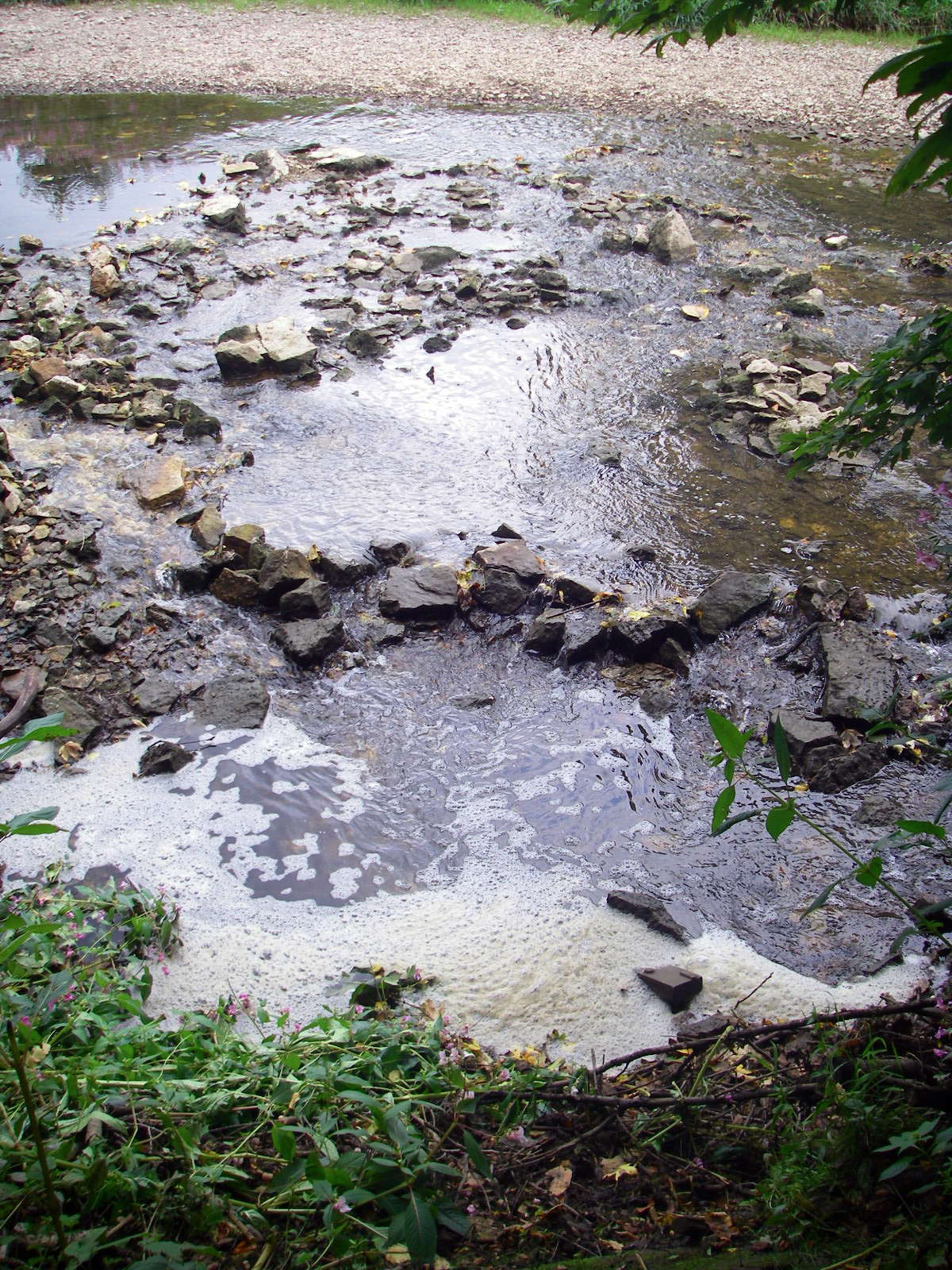
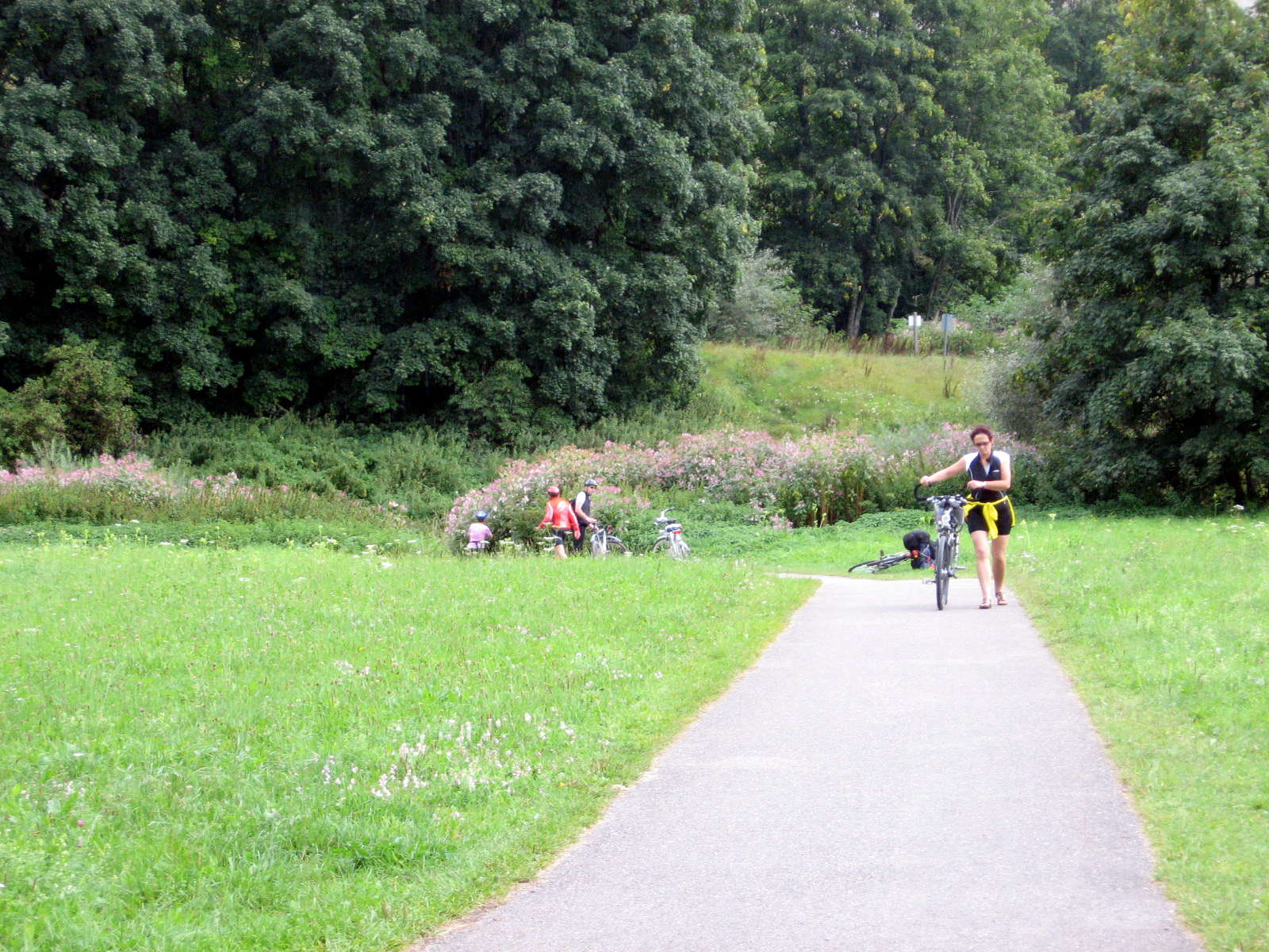
Already we could see the Danube starting to disappear.
On the right image a fish ladder can be seen, with rocks strategically placed to provide a way for fish to go upstream, although there was not enough water in the Donau at this time of the year for it to be useful for the fish.
Photo: Don & Maria Hitchcock 1st September 2008
When we came to this sign, I went down the short track to the river.
Photo: Don & Maria Hitchcock 1st September 2008
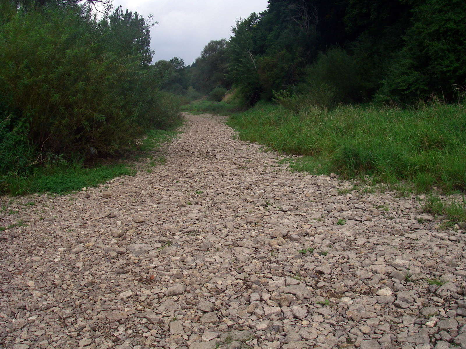
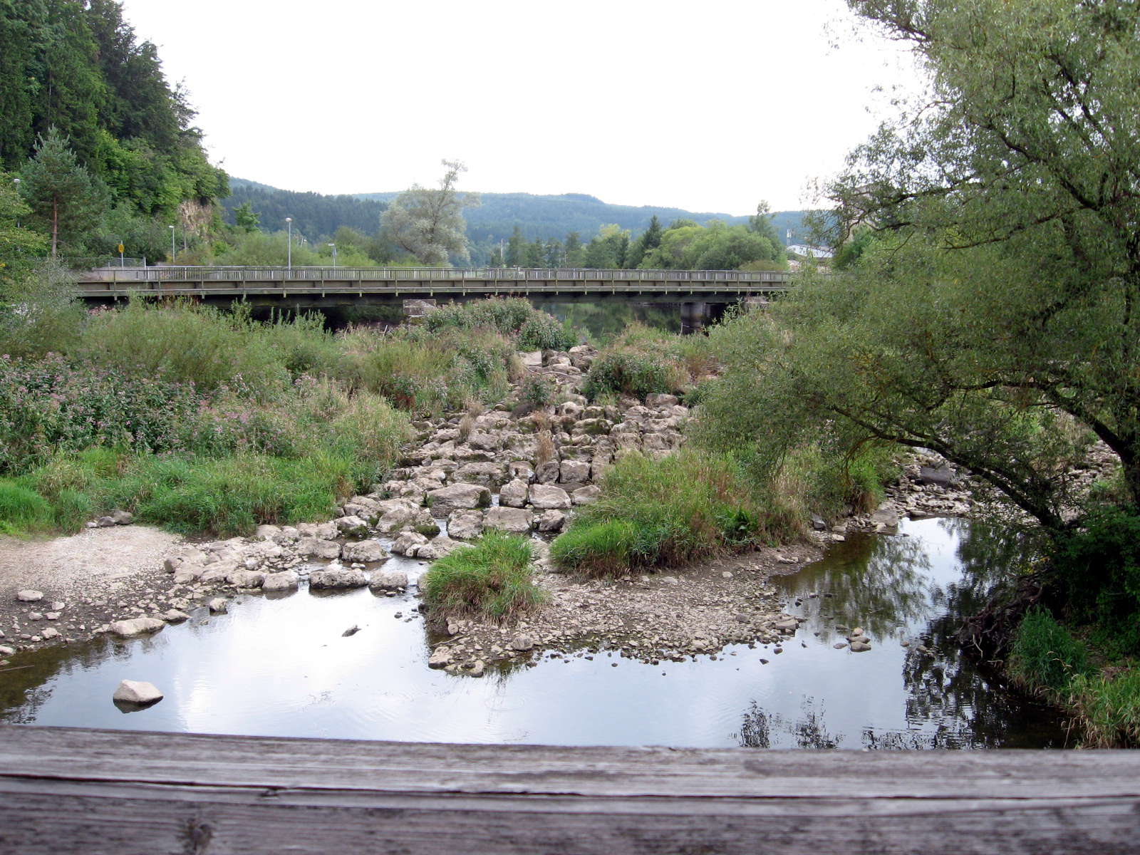
And at this point of the Donauversickerung the bed of the river was completely dry.
Photo: Don & Maria Hitchcock 1st September 2008
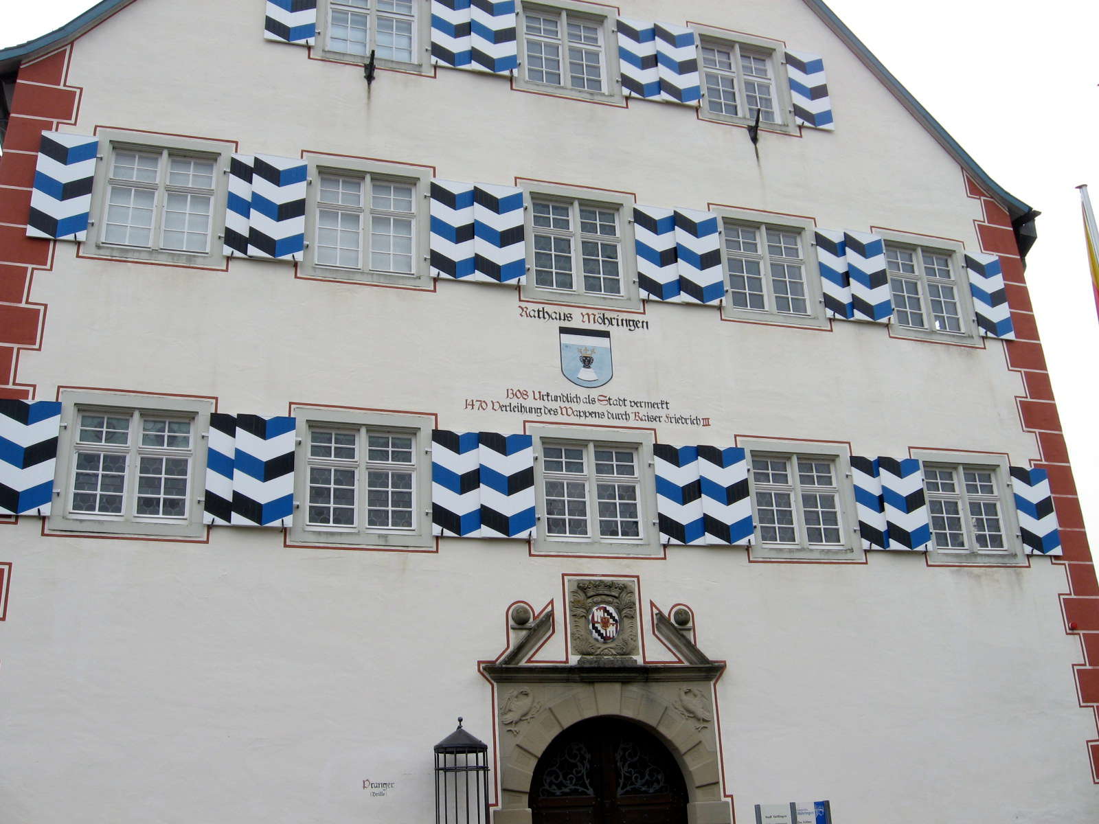
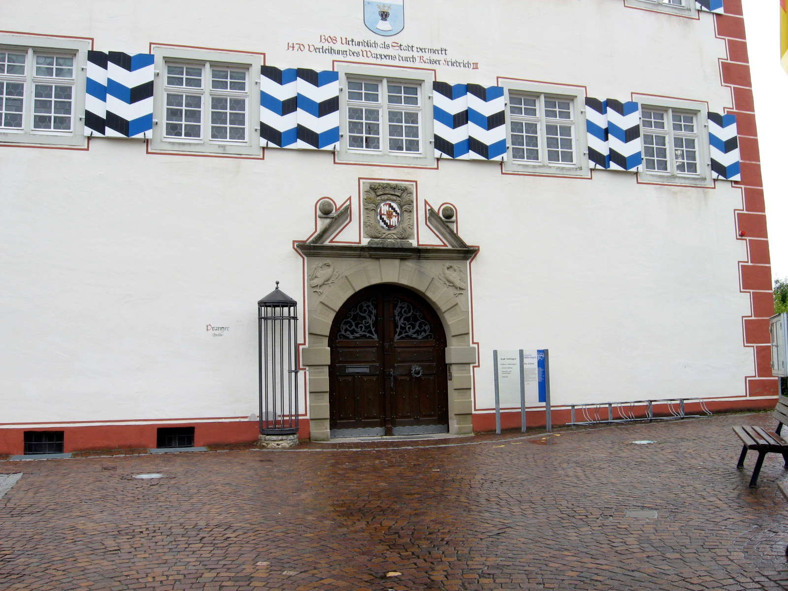
We passed through Möhringen, and were impressed with the Rathaus, or Town Hall.
It was starting to rain, so we got out our wet weather gear.
Photo: Don & Maria Hitchcock 1st September 2008
Forty five minutes after the Donauversickerung we reached Tuttlingen.
The Donau reappeared, better than ever, rejuvenated by the Krähenbach and Elta tributaries.
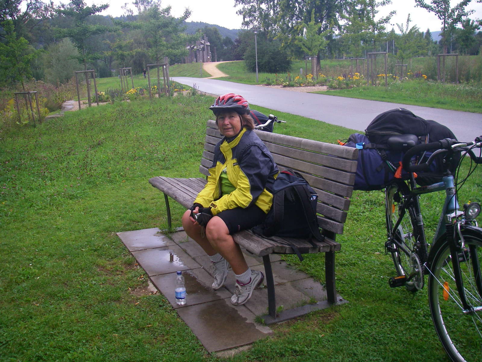
We stopped at this riverside seat, and had something to eat and drink.
Photo: Don & Maria Hitchcock 1st September 2008
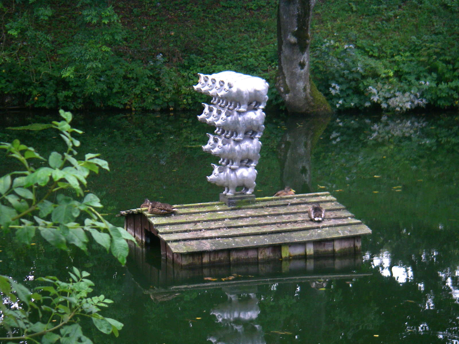
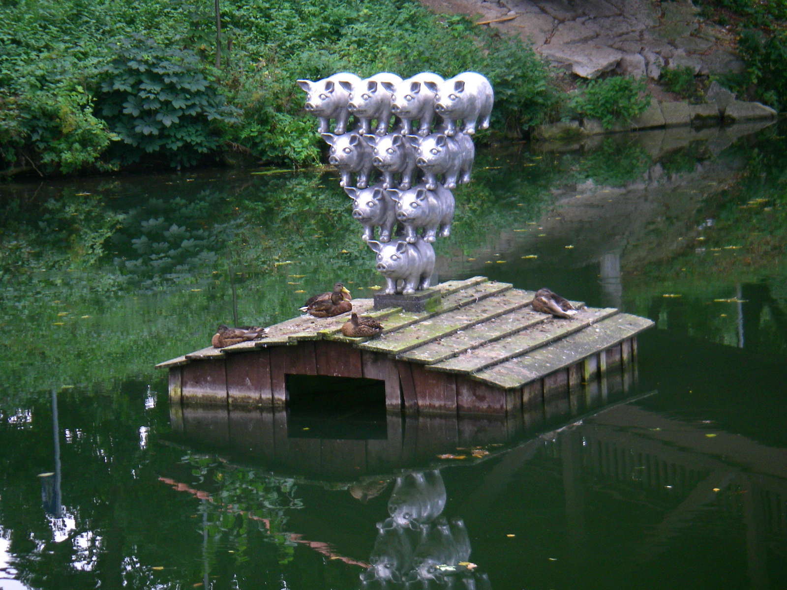
Not long after, we found this sculpture, sitting in the Donau.
I have no idea what the story behind it is, except that it made me laugh out loud with the whimsicality of the whole installation.
Photo: Don & Maria Hitchcock 1st September 2008
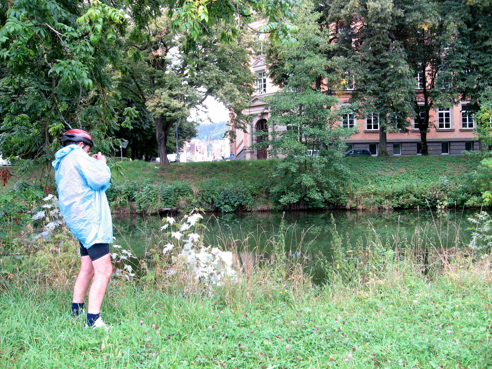
I had taken the raincoat I made for bushwalking, and it served me well. We needed to keep everything as light as possible. However I ended up mostly using the commercial one I carried also, since it was warmer than this one.
Photo: Don & Maria Hitchcock 1st September 2008
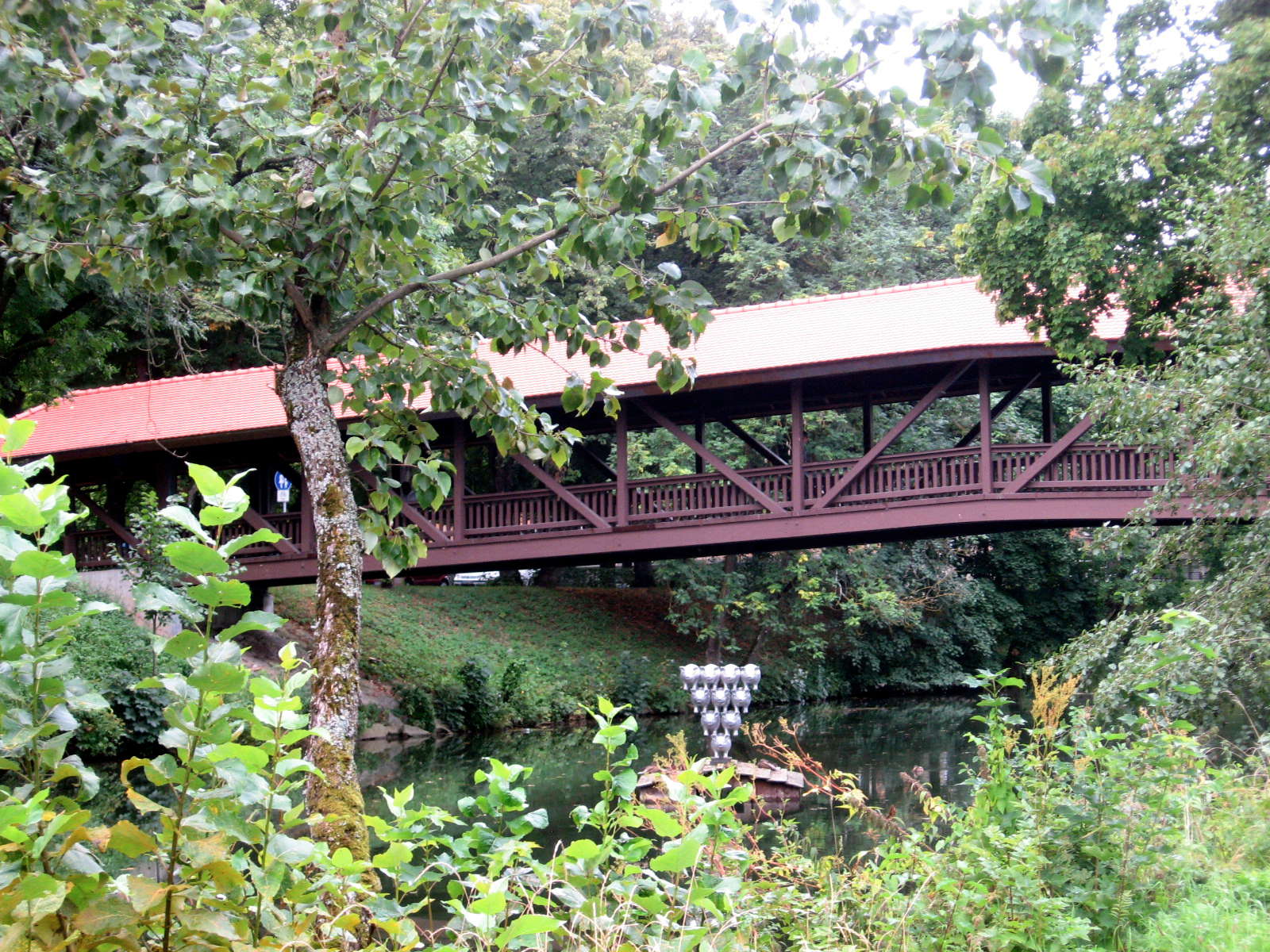
A view of the sculpture with another beautiful covered bridge in the background.
We did not cross the bridge to the town centre of Tuttlingen since it was not part of our route, and cities slow you up considerably when on a bicycle.
They are often very hard to navigate, and find the radweg to the other side of town. Eventually we started to depart from the route just to avoid towns and villages, except where they were worth going through.
The signposted radweg sometimes takes a detour from the Donau simply to pass through a village - we came to the conclusion that it was to attract cyclist euros!
Photo: Don & Maria Hitchcock 1st September 2008
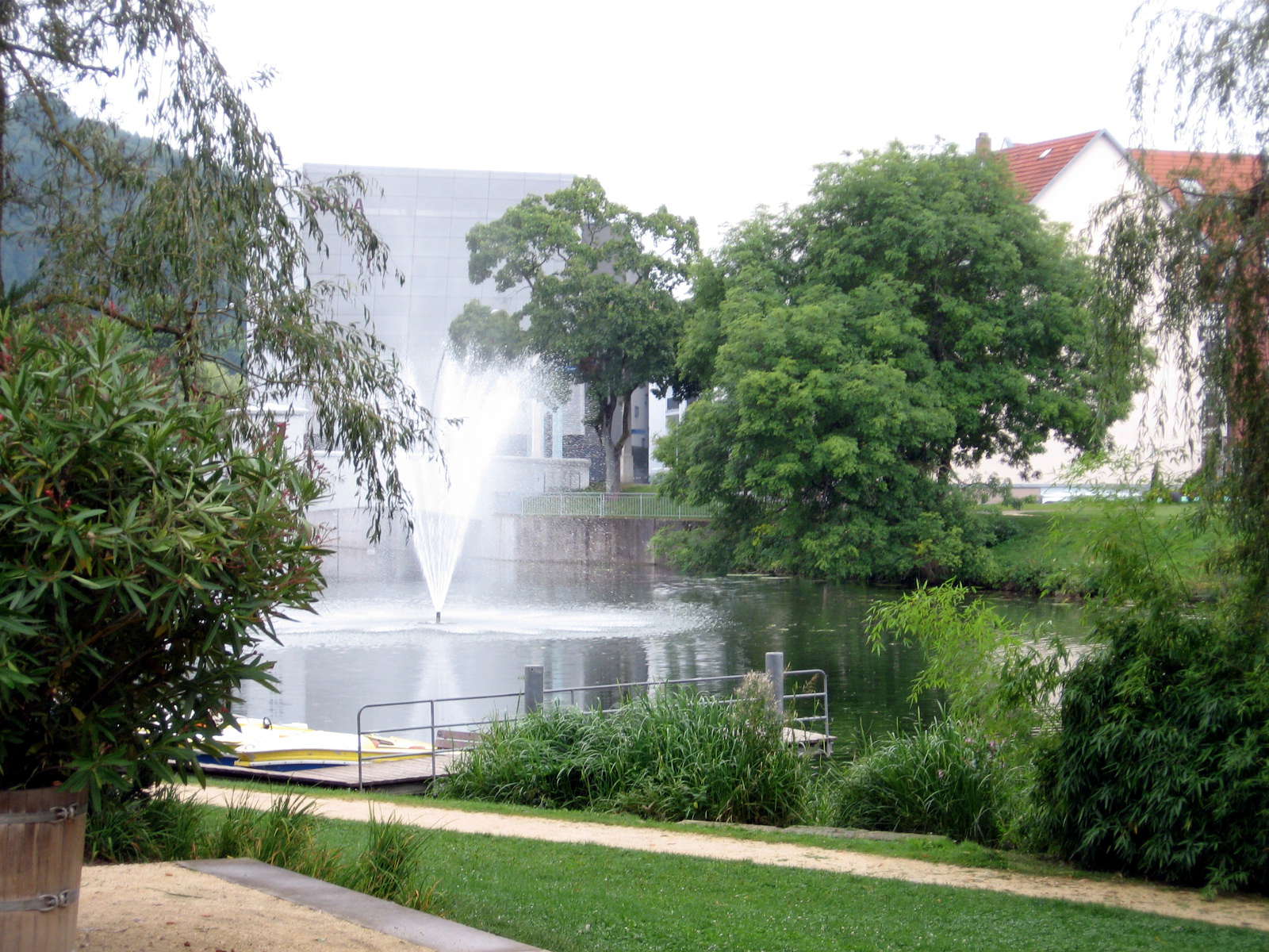
A fountain in the Donau, with the main part of Tuttlingen across the river.
Photo: Don & Maria Hitchcock 1st September 2008
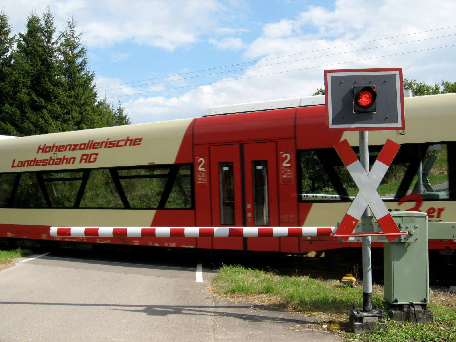
We often rode on a path beside the railway line, and sometimes had to cross it, though the radweg usually found a path either over or under it.
Germany is justly famous for its high speed and reliable train service.
Photo: Don & Maria Hitchcock 1st September 2008
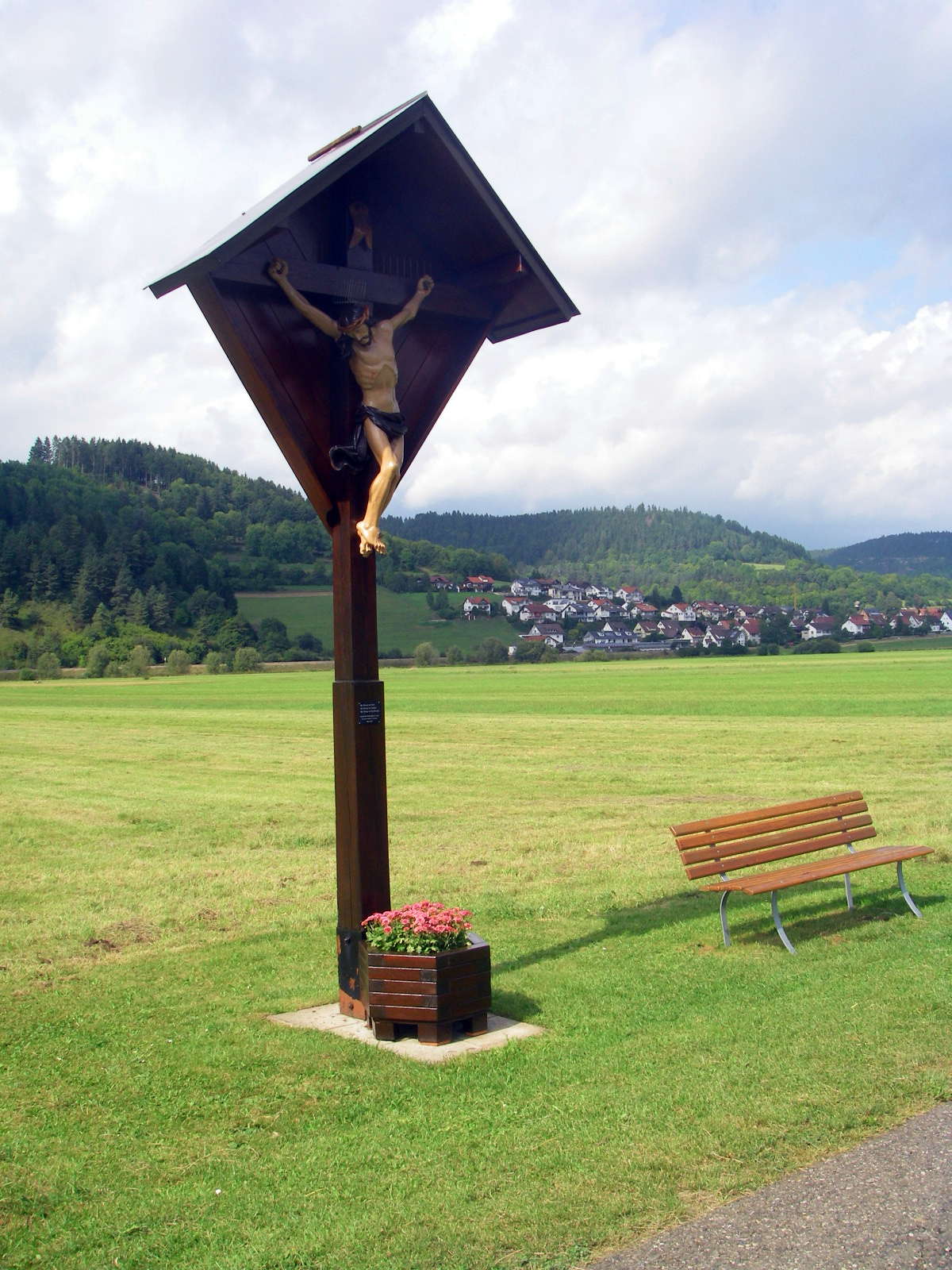
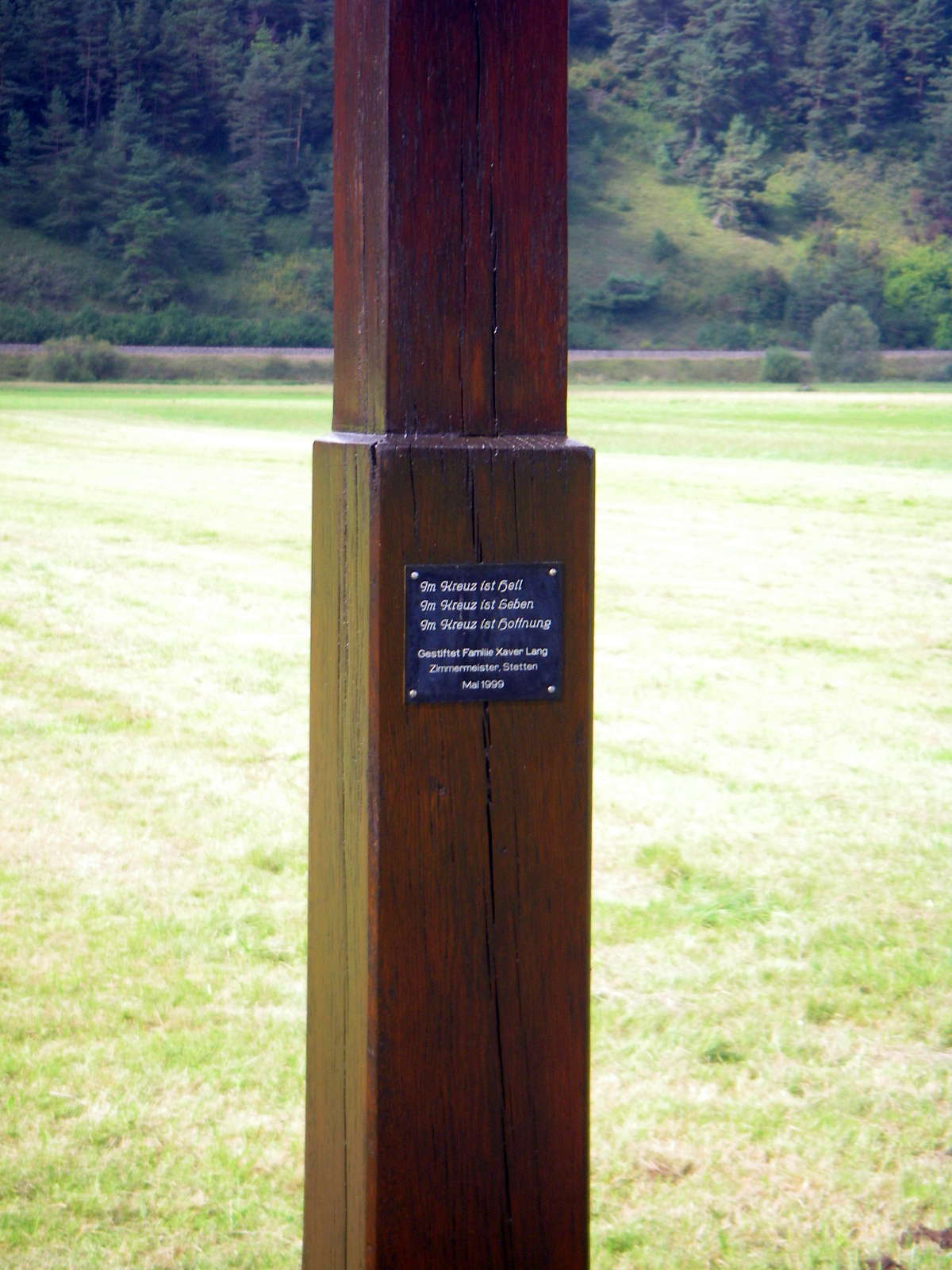
We often found these roadside crosses, put up by local people in memory of members of their family.
Photo: Don & Maria Hitchcock 1st September 2008
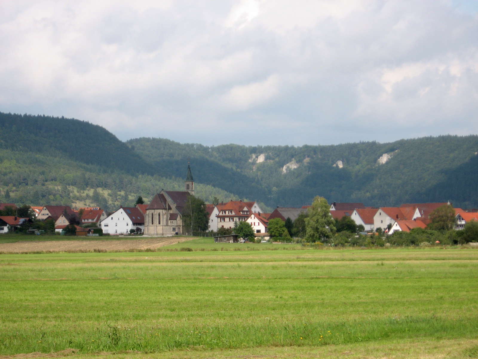
Approaching Mülheim an der Donau, the view became one of flat, fertile farm land, with the Donautal ahead, marked by high valley sides and cliffs.
Photo: Don & Maria Hitchcock 1st September 2008
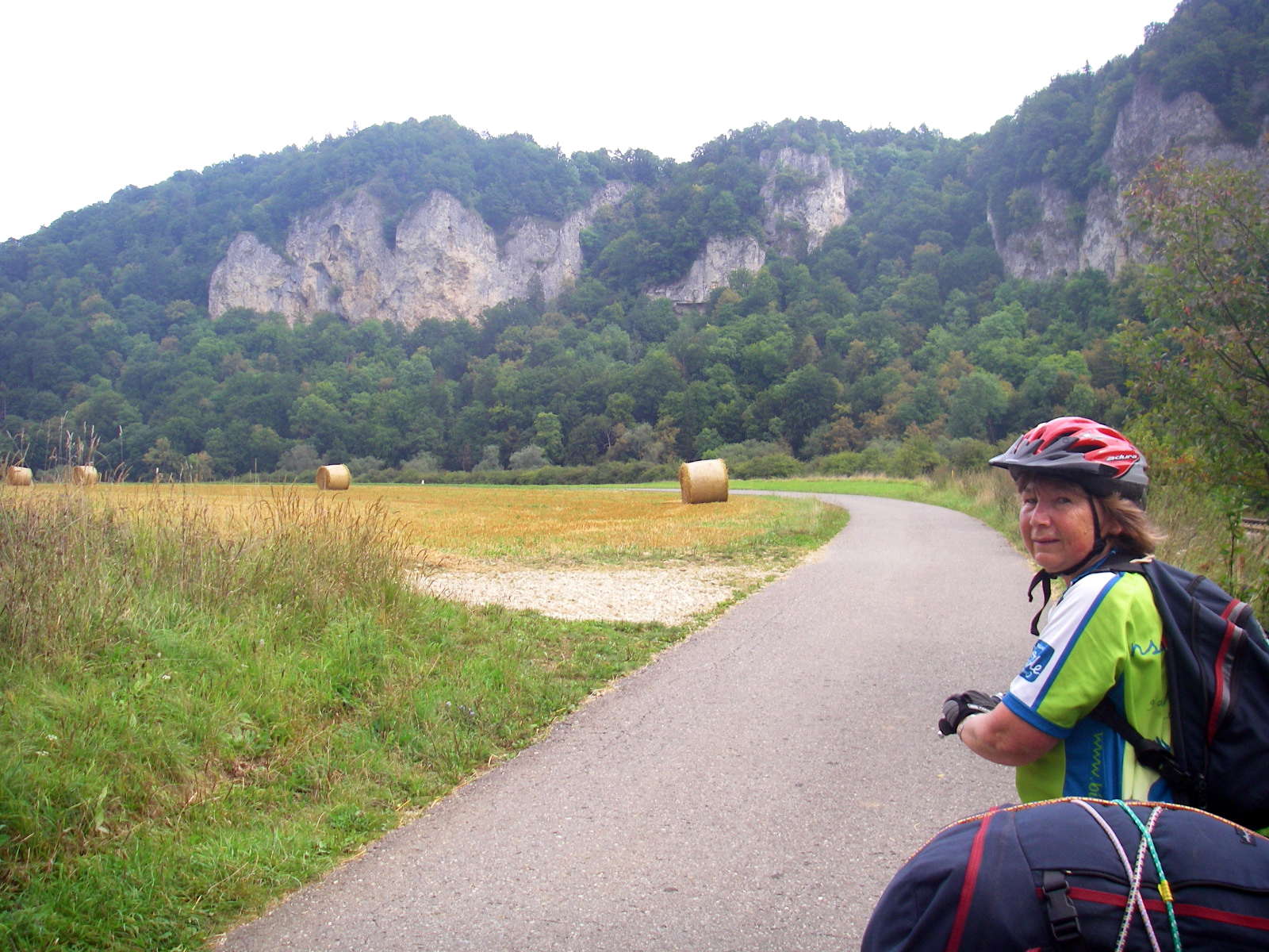
Entering the Donautal, with the radweg passing huge round bales of hay used for stock feed in the winter. We were within sight of Fridingen about 1600.
Photo: Don & Maria Hitchcock 1st September 2008
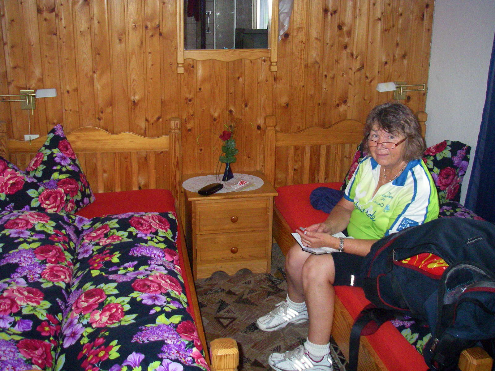
With heavy rain starting, we needed shelter fast, and found a well appointed and clean Gasthaus on the western edge of Fridingen, unpacked, showered and changed into warm dry clothes.
Maria was meticulous about keeping her diary, which was a big help in putting together this account of our bicycle trip down the Danube.
Photo: Don & Maria Hitchcock 1st September 2008
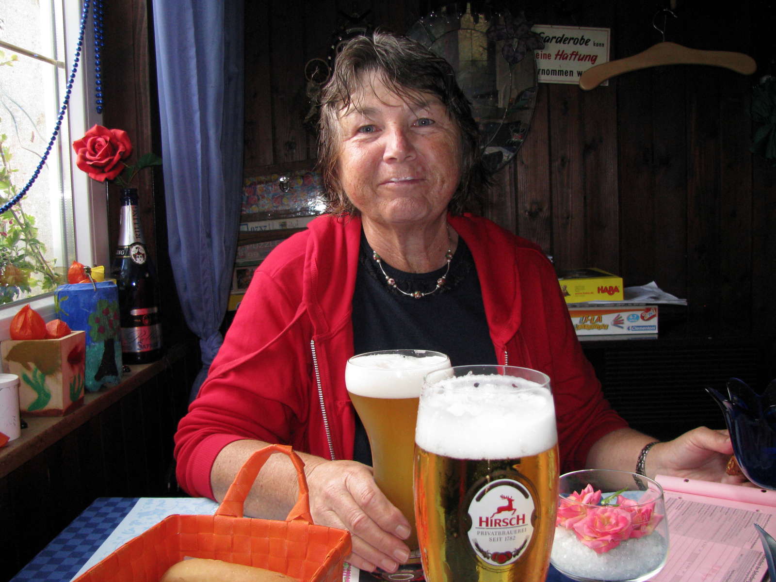
The first beer is always the best!
Photo: Don & Maria Hitchcock 1st September 2008
From Maria's diary:
It was time to find some shelter and we reached Fridingen just as the rain pelted down. Just before the bridge leading into town there is a large sawmill and next to that is Gasthaus Feuerhake. We took a room there for the night and we delighted in a hot shower and dry clothes. After settling in we went down to the Gasthaus restaurant for a meal. We'd no sooner settled down with a local beer than in walked Erwin and Sonia who we had met at Donaueschingen.
We invited them to share our table and introduced ourselves. They are a very interesting couple, also hoping to reach Budapest but they only have 3 weeks. Erwin was hauling a small bike trailer with about 80 Kg of camping gear and Sonia was also loaded up. They marvelled at our small kit considering we were planning to camp as well. After they left for their apartment in the town we decided to go exploring and walked into the town for a stroll and a sightsee. Apart from the weather it had been an excellent day.