Back to Don's Maps
 Bushwalking Index
 From the Mountains to the Sea - Point Lookout, Grass Tree Ridge and the Bellinger River
Via Point Lookout, Grass Tree Ridge and the Bellinger River
Click on the photos to see an enlarged version
Great Egret on the Bellinger River
Photo: Don Hitchcock June 2003
These track notes and photos are for the interest of armchair travellers only, and do not constitute comprehensive instructions for bushwalkers.
The trip to the coast from Point Lookout via Grass Tree Ridge and the Bellinger River is for very fit, very experienced and well prepared bushwalkers only. There is no maintained track for much of the trip down the escarpment until you reach the road to Bellingen, it is very strenuous, and bush craft, topographical maps and compass are required. Kayaking down the Bellinger River should not be underestimated in terms of personal danger, and the final section within sight of the town of Urunga can be difficult depending on wind and tide. Sufficient water and food and survival equipment should be carried, and at least one overnight camp is necessary for which sufficient appropriate equipment should be carried. Always carry a Personal Locator Beacon, and tell reliable people where you are going and how long your party will be away. Mobile phones do not work anywhere in the gorges for sure, and almost never even on top of the cliff line.
Note that at one time it was required to gain permission to cross private property after descending Grass Tree Ridge and before gaining access to the derelict road along the Bellinger River. However National Parks has now purchased the relevant properties, and walkers have free access to the whole of the walk.
See:
http://www.environment.nsw.gov.au/NationalParks/parkWalking.aspx?id=N0028
and scroll down the page to the section which reads "New England Wilderness walk ~ from subalpine to subtropics"
You can purchase a booklet describing the walk from the Dorrigo Rainforest Centre for $9.95 + postage and handling.
Contact: Dorrigo Rainforest Centre, Phone: (02) 6657 2309
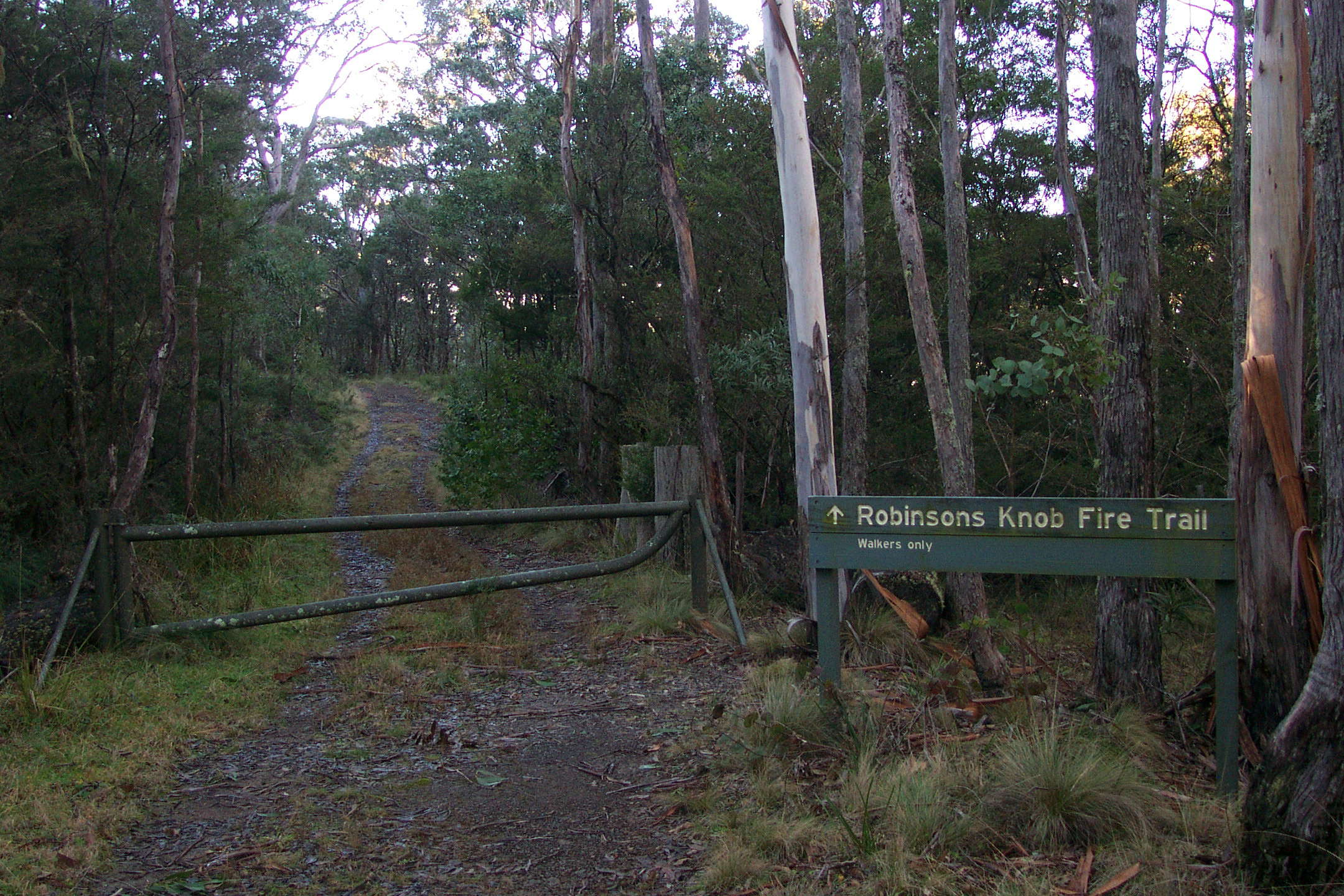
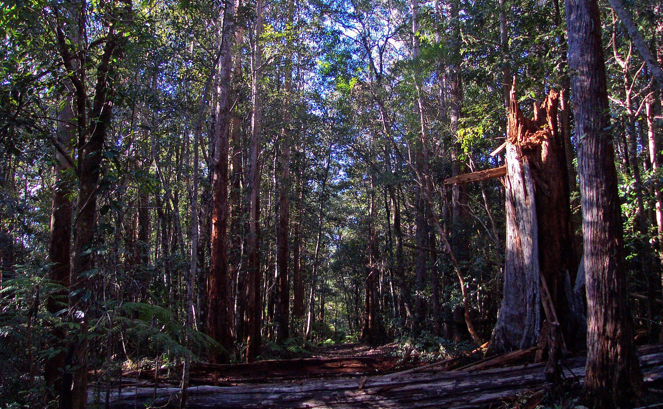
Start of the walk at the entry to Robinsons Knob Fire Trail, in the New England National Park east of Armidale.
0800 h Photo: Don Hitchcock June 2003
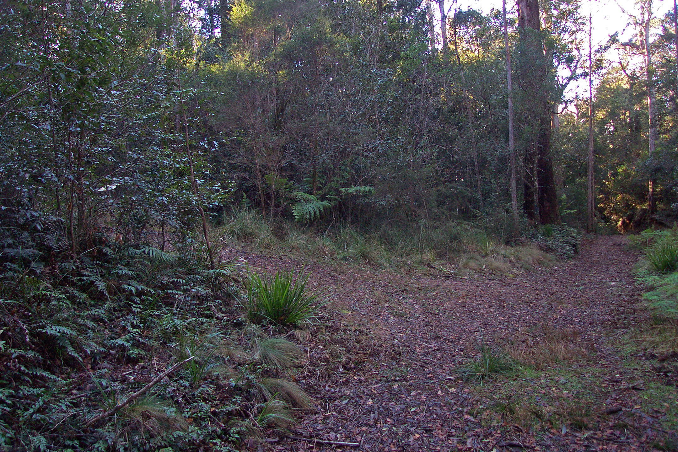
The area at Point Lookout has many well maintained tracks that visitors may use. This one coming in to Robinsons Knob Fire Trail from the left leads back to Banksia Point/Point Lookout.
Photo: Don Hitchcock June 2003
In twenty minutes walking from the start I was at this junction, with the track to Wright's Lookout leading up to the right. I stayed on Robinsons Knob Fire Trail, which keeps going down to the left.
Photo: Don Hitchcock June 2003
Cup of coffee time. The track at this point was a joy to follow.
There is little to compare with a wide track and a soft surface leading gently downhill in cool conditions with dappled sunlight!
Photo: Don Hitchcock June 2003
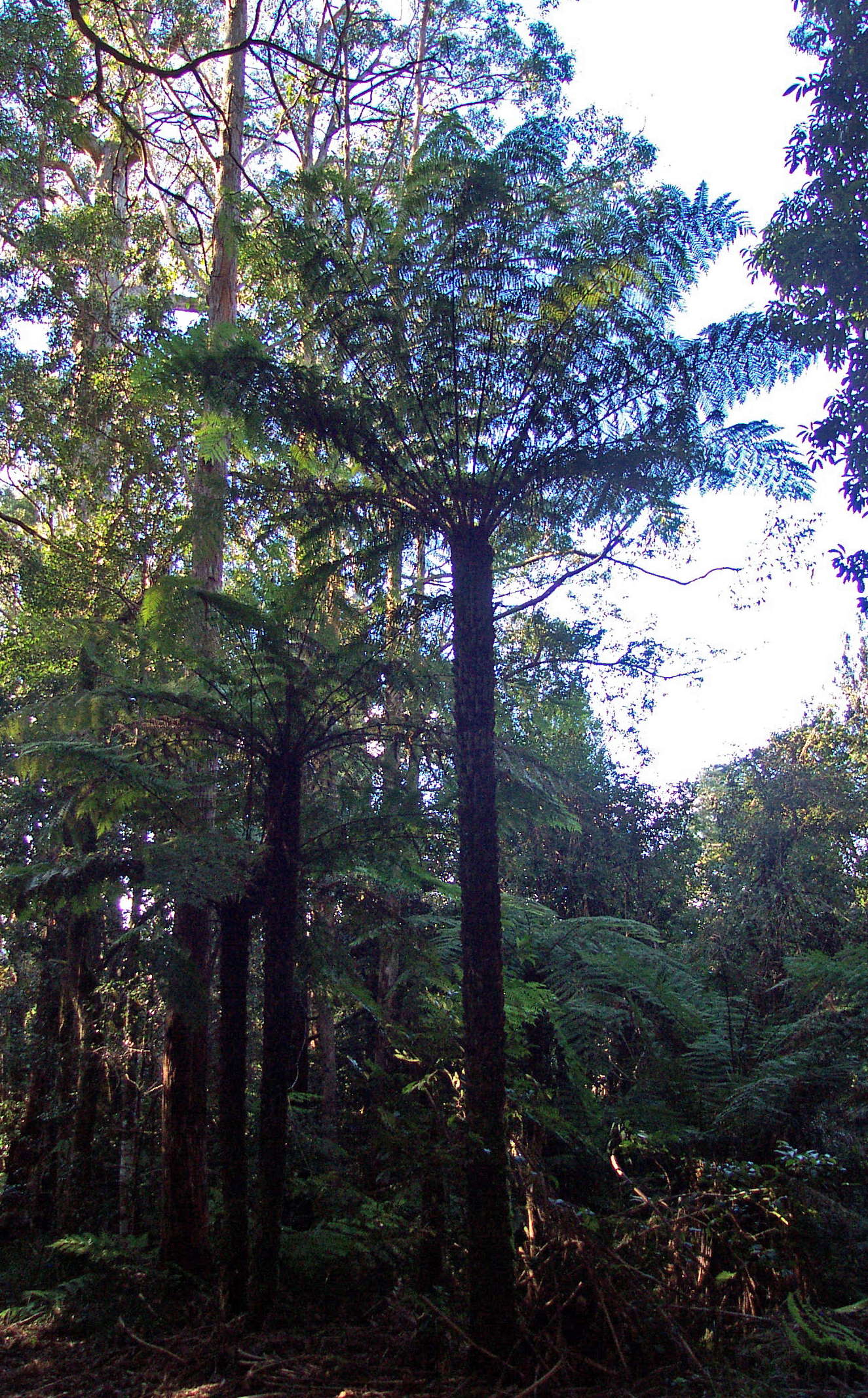
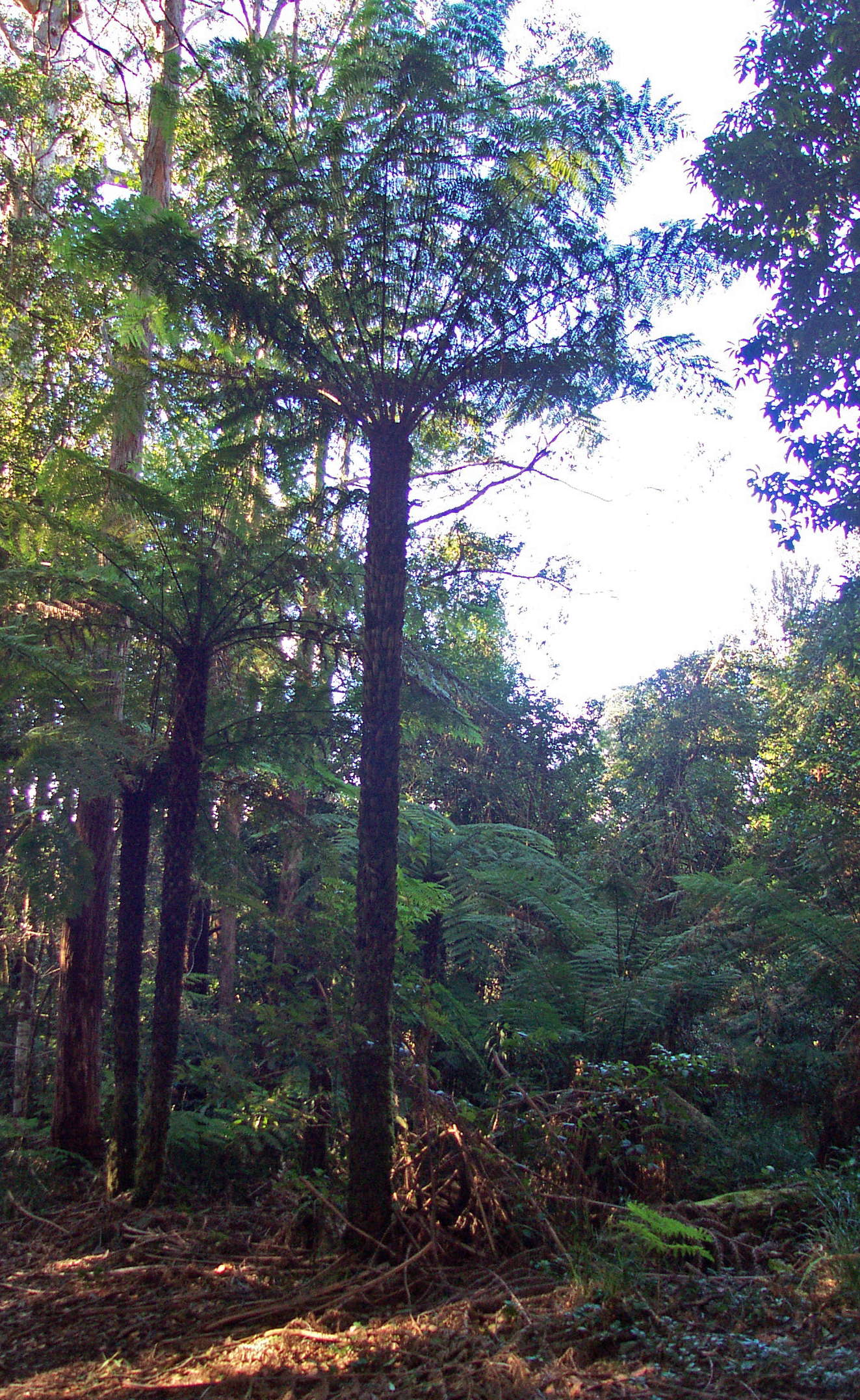
The tree ferns here are tall and beautiful.
Photo: Don Hitchcock June 2003
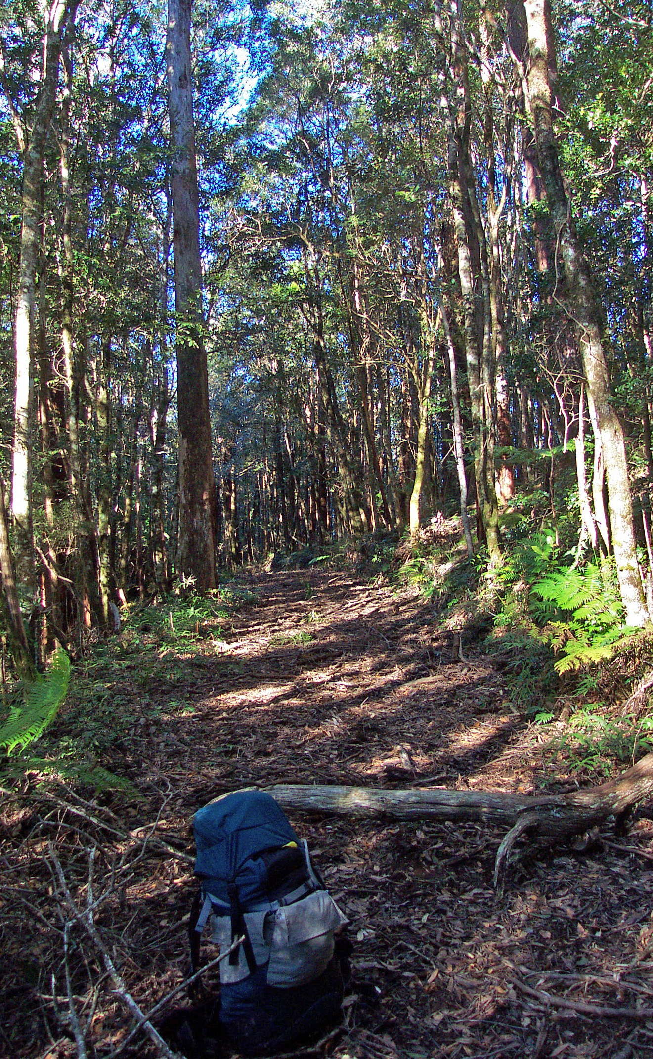
An hour from the start, it became obvious that it was a while since a fire truck had been down the fire trail to clear it of fallen trees.
Birth and death are part of the cycle of a forest, and this huge tree had finally come to earth to enrich the soil for the seedlings which would follow it.
Photo: Don Hitchcock June 2003
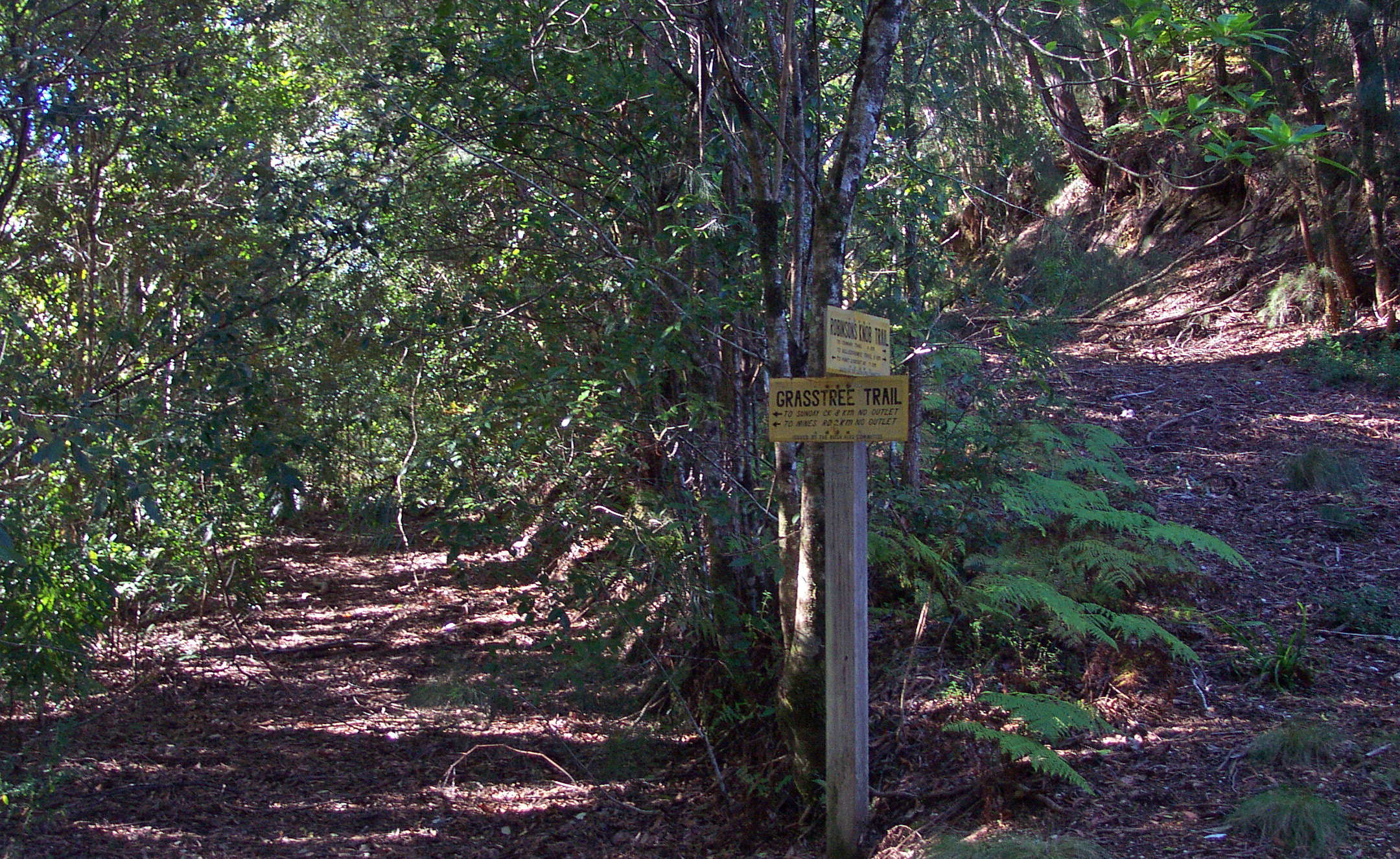
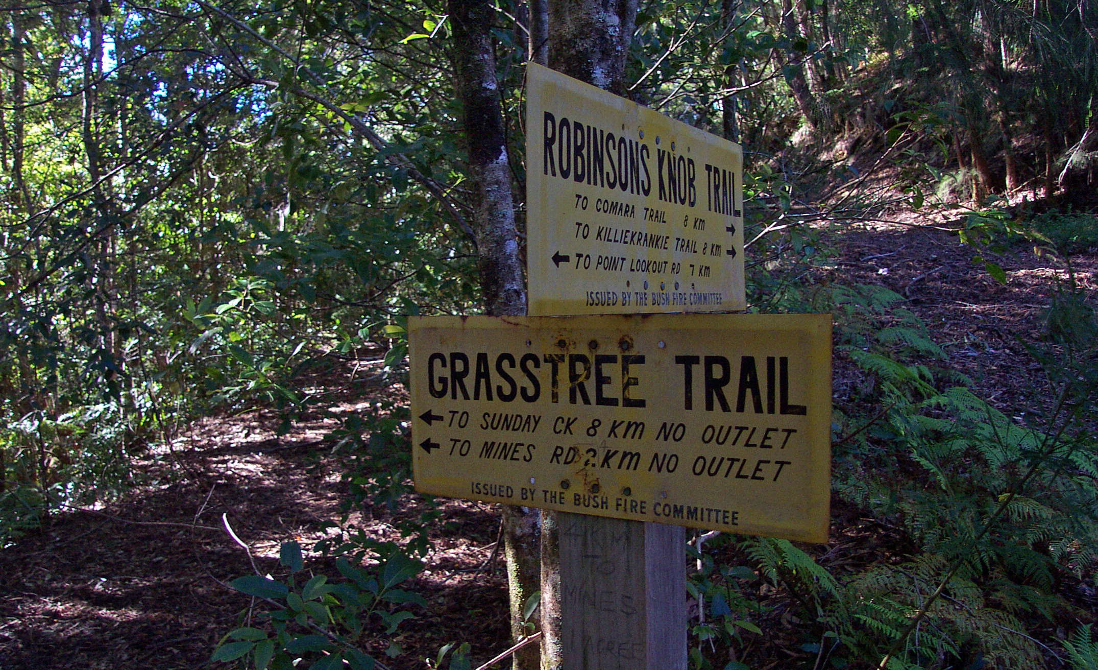
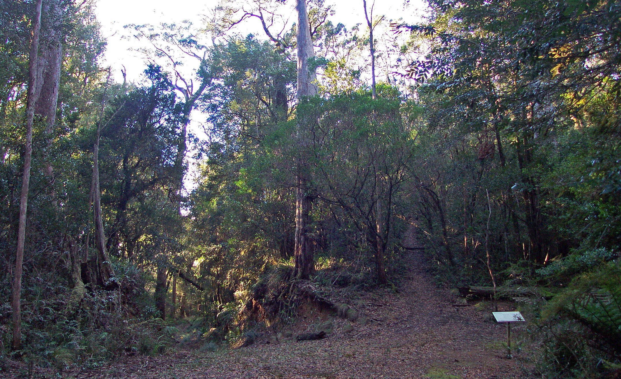
Two hours from the start, I came to this junction, and took the left hand fork to Grass Tree Ridge.
Photo: Don Hitchcock June 2003
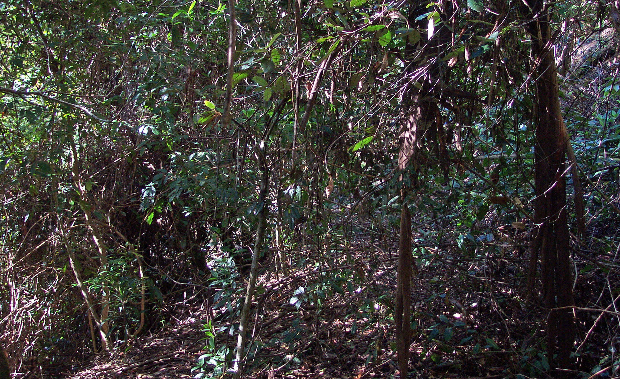
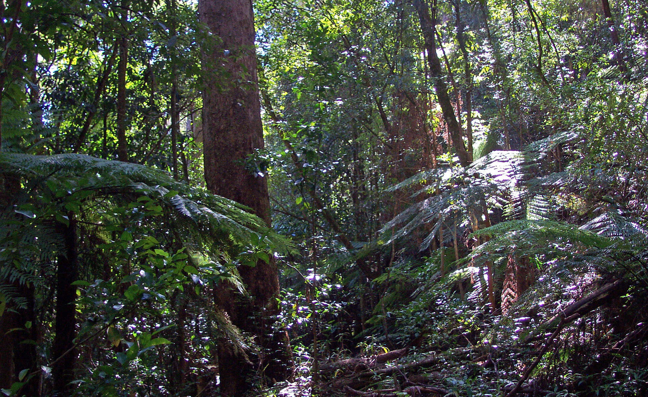
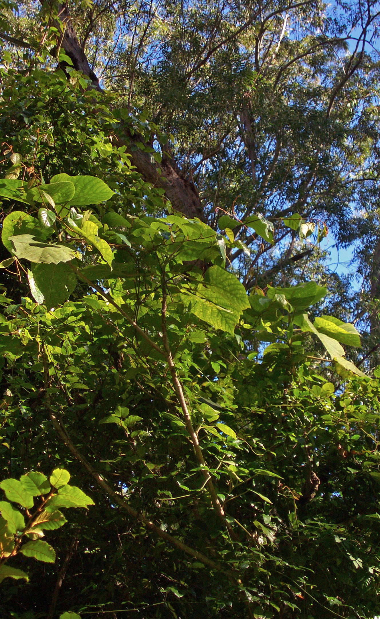
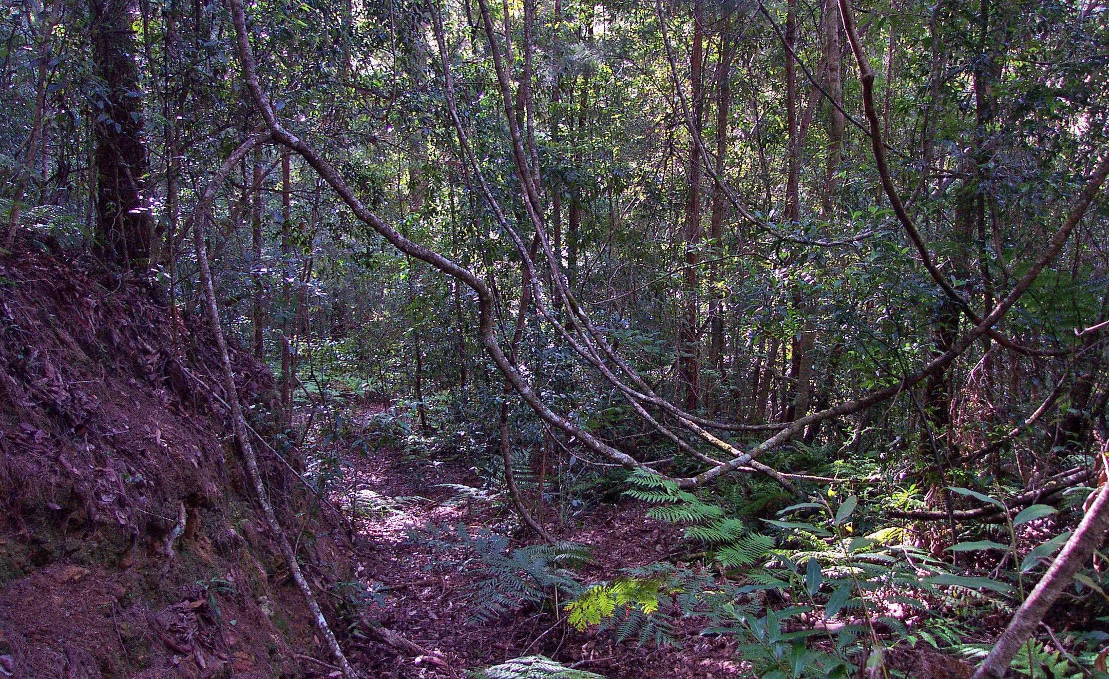
A few minutes later the track became overgrown, and remained overgrown for the rest of the trip down the ridge. It was difficult to find the track at times, and there were mature trees growing in the middle of the former logging road.
Photo: Don Hitchcock June 2003
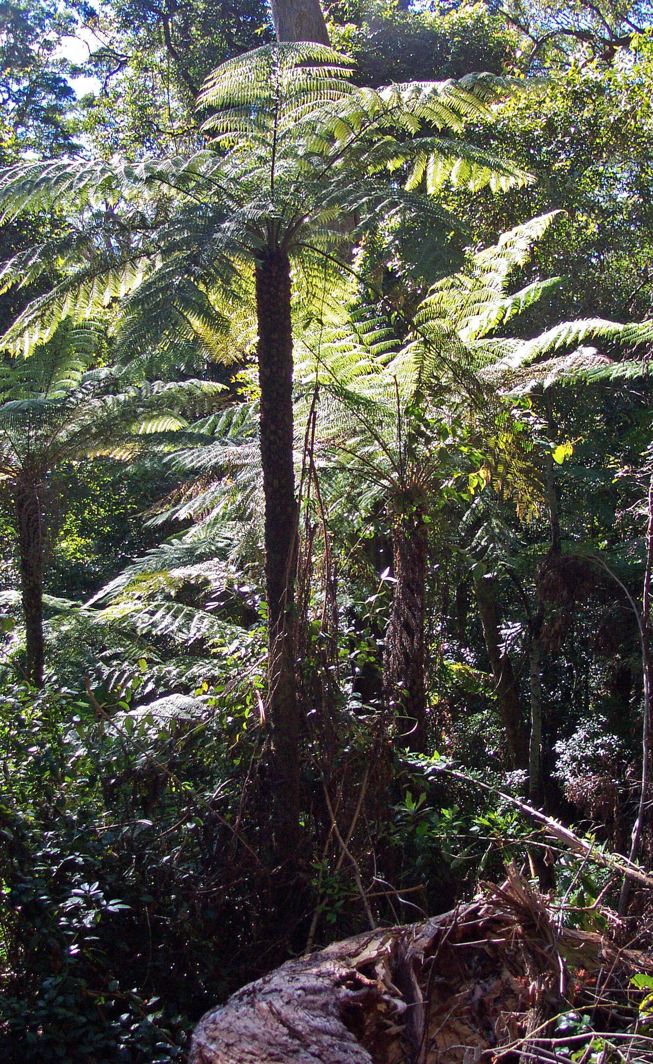
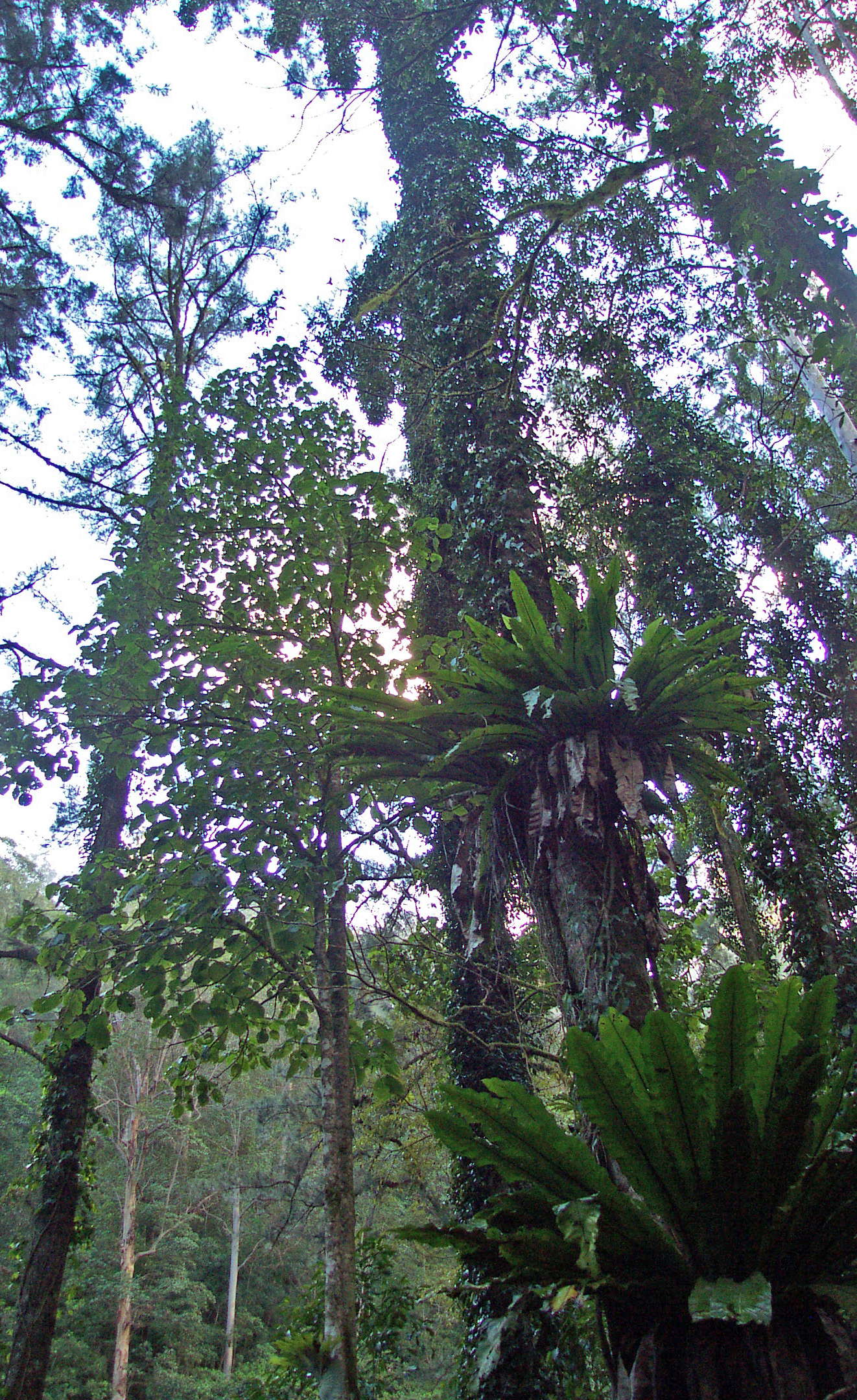
Tree Ferns are typical of the intergrade between wet Eucalyptus forest and rain forest.
Photo: Don Hitchcock June 2003
This is the track!
Photo: Don Hitchcock June 2003
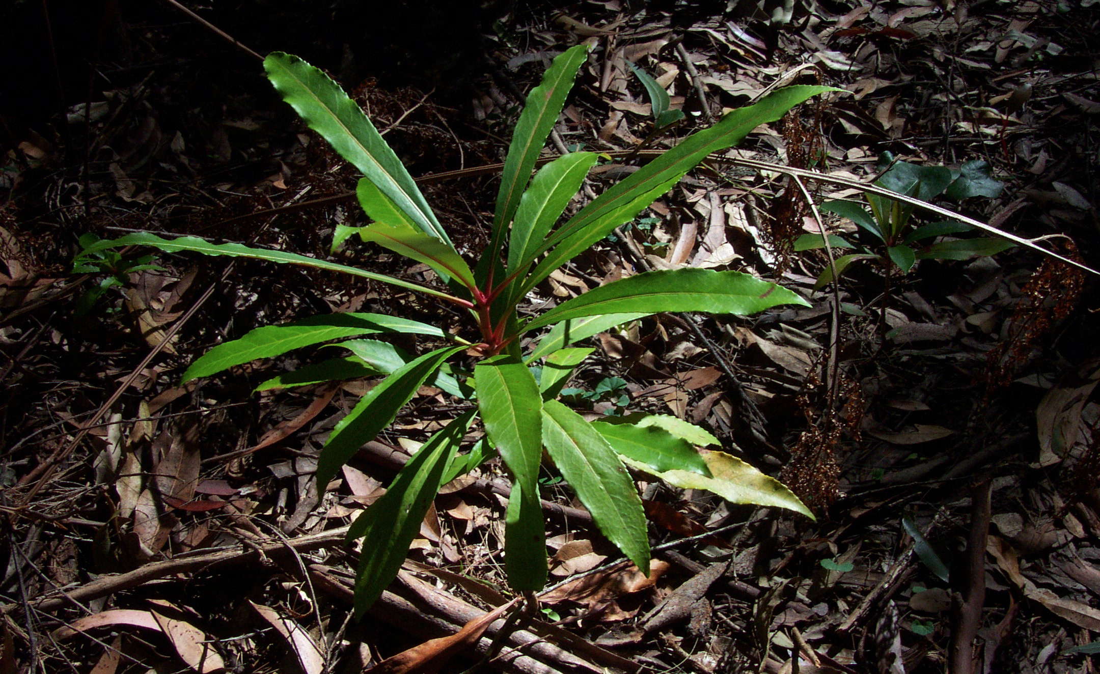
New England Pepperbush. The leaves of this plant are very hot indeed in the mouth, and if you taste it, be very cautious. The seeds are gathered for bush tucker sales in some areas.
Photo: Don Hitchcock June 2003
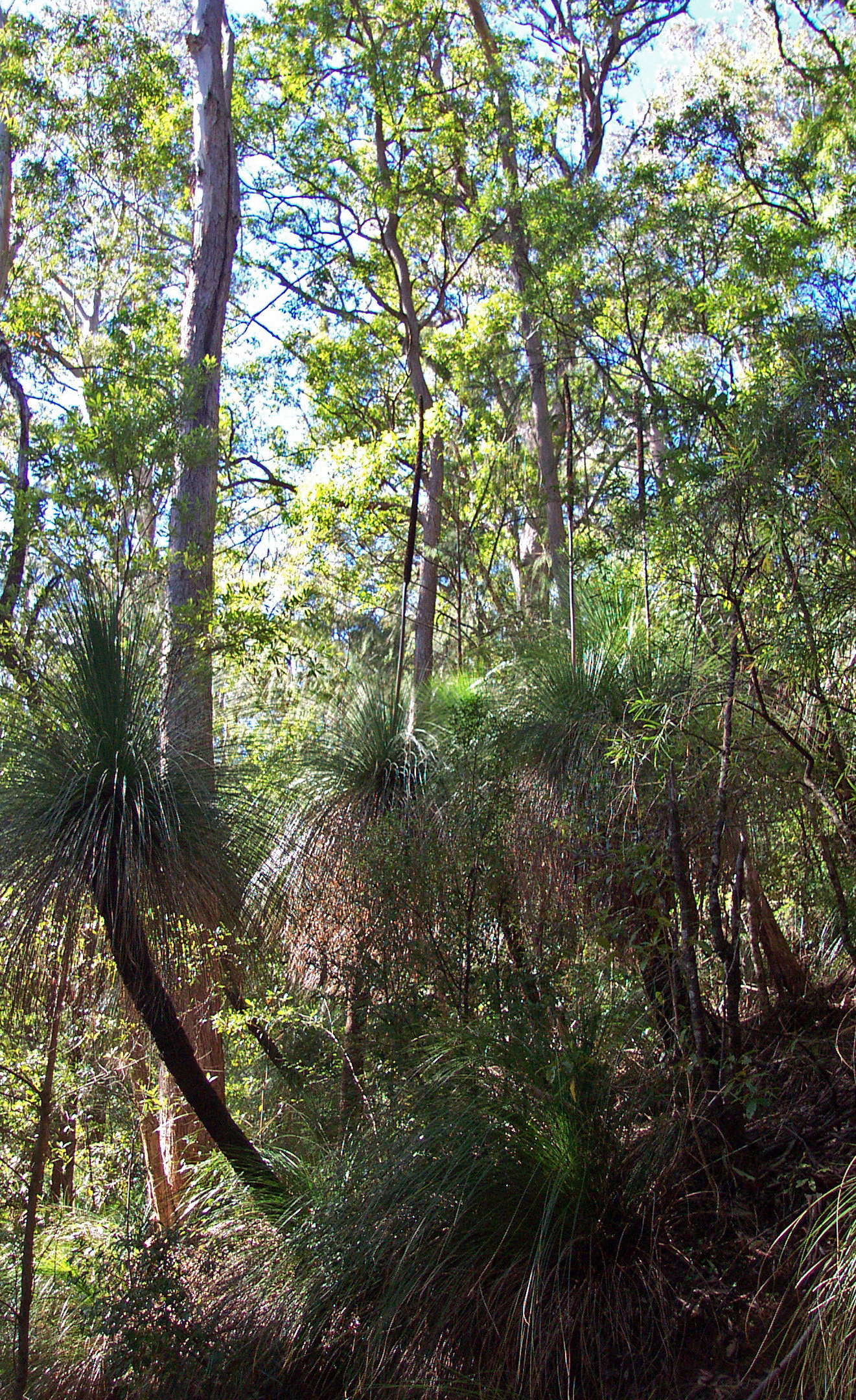
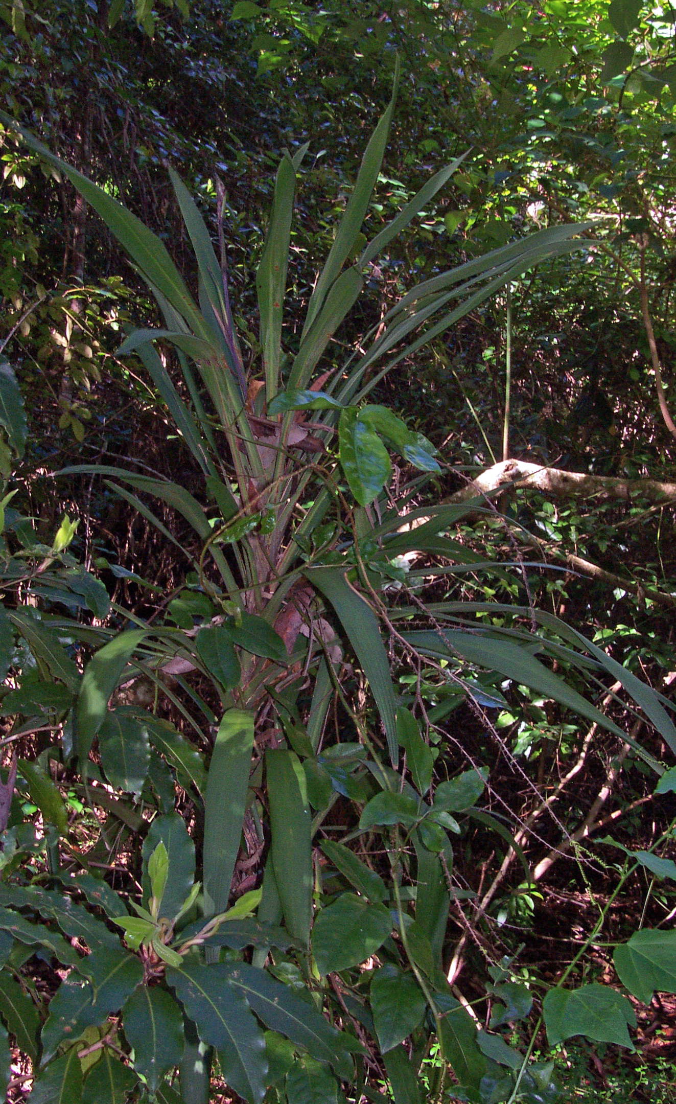
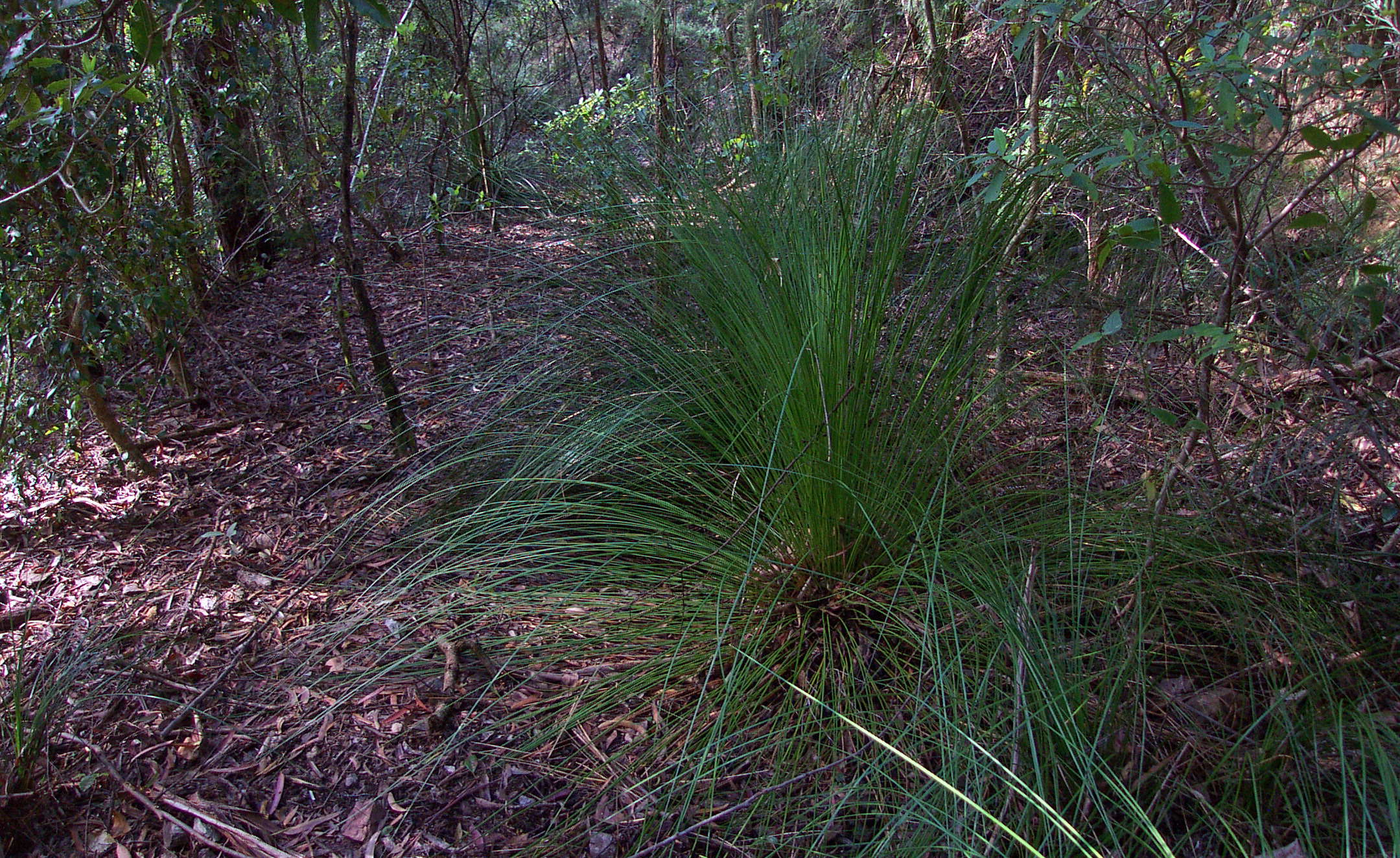
Grass trees (on Grass Tree Ridge!) with their seed bearing "spears" poking up high above the crown.
Growing here in good conditions, Grass Trees typically grow on very exposed and rocky and dry sites in the gorges east of Armidale.
Photo: Don Hitchcock June 2003
Gympie Bush, an indication that warmer, wetter conditions now prevailed, after losing some altitude.
Photo: Don Hitchcock June 2003
Narrow Palm Lily, Cordyline stricta, showing the characteristic purple tinge of this species. It is propagated extensively by the nursery trade, and there are now many different forms of Cordyline available for the home gardener. A native passionfruit leaf can be seen on a vine twisted around it.
Text below adapted from: http://asgap.org.au/c-str.html
This plant grows to a mature height of two to five metres, leaves are long and narrow, up to 50 cm long by 2.5 cm wide with a sheath at the base. It has small white/purple flowers in winter followed by black berries in panicles springing from the upper leaf axils.
Photo: Don Hitchcock June 2003
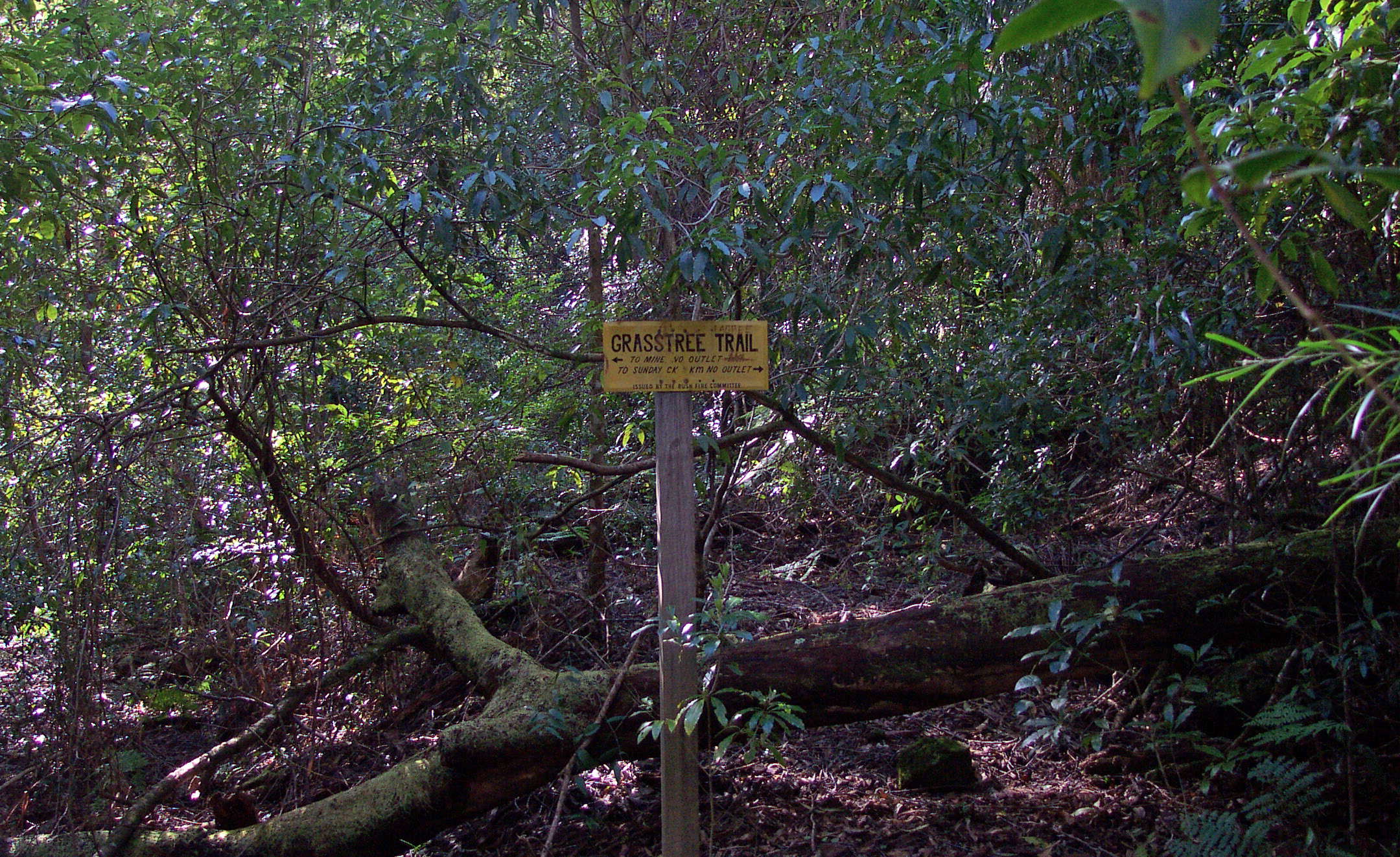
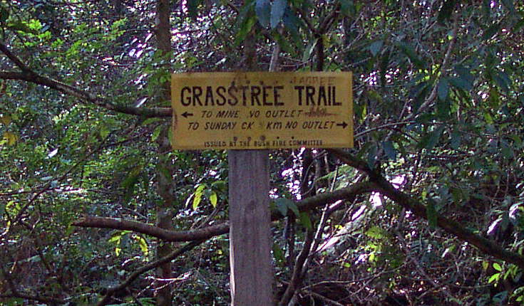
Grasstree Trail junction, three hours from the start. The left fork is a dead end to the long defunct Point Lookout antimony mine.
Antimony was mined here between 1900 and 1954. There were up to forty miners on the cleared slopes above Platypus Creek, and there are remains of the mine workings, a tramway and machinery, according to the NENP Plan of Management. The mine is now a roosting cave for bent-wing and little bent-wing bats.
I took the right hand track, which leads to Sunday Creek, which flows into the Bellinger River.
Photo: Don Hitchcock June 2003
The road was well made, and is defined by the flat area now overgrown by trees and saplings. It has not been cut by many erosion gullies, a tribute to the builders.
A grass tree in the foreground has found conditions ideal, and although they are notoriously slow growers, they are a beautiful addition to a native plant garden.
Photo: Don Hitchcock June 2003
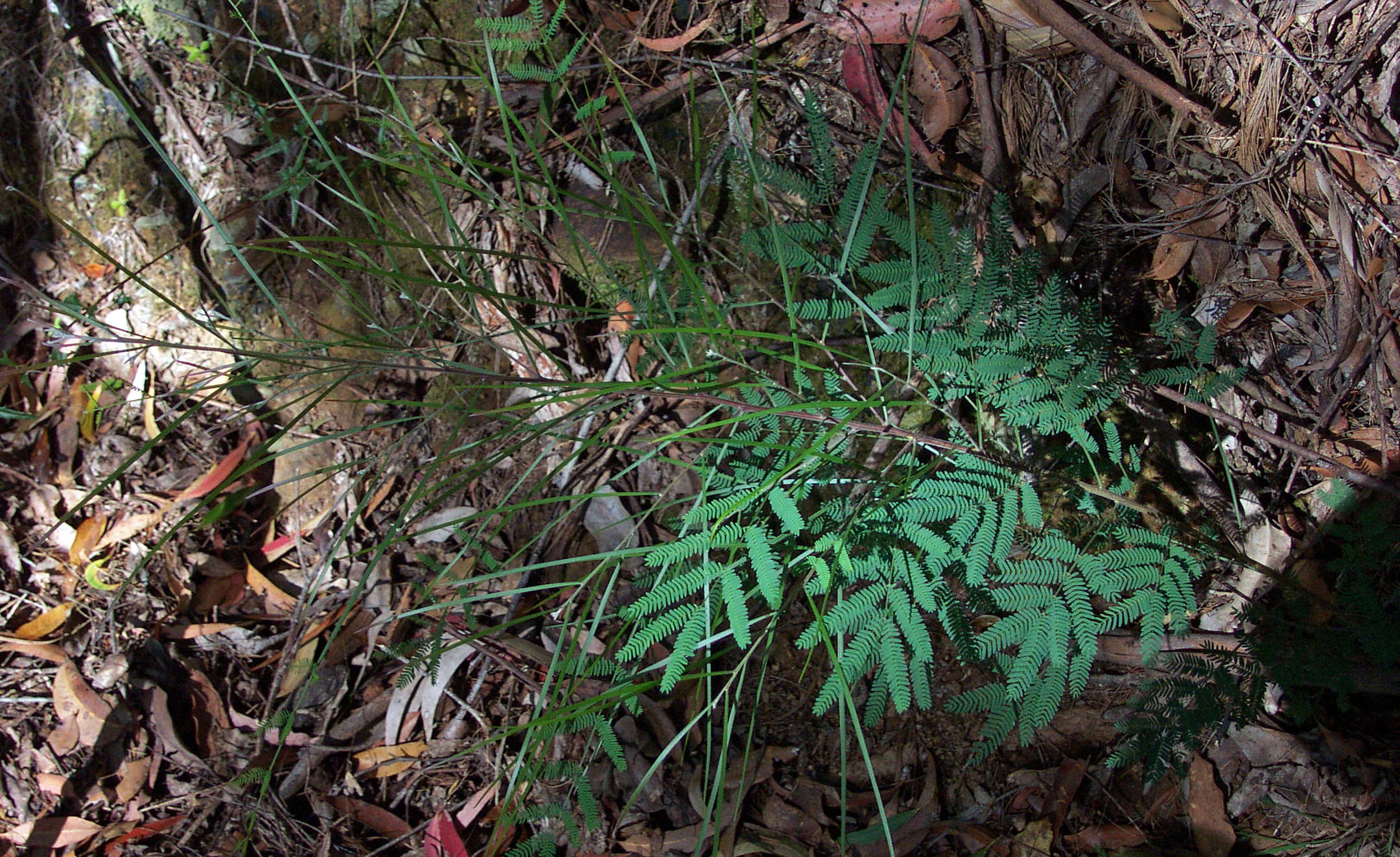
This Acacia sp. displays very well the characteristic change from a fern shaped leaf to a flattened stem, an adaptation by wattles to reduce transpiration in dry areas.
Photo: Don Hitchcock June 2003
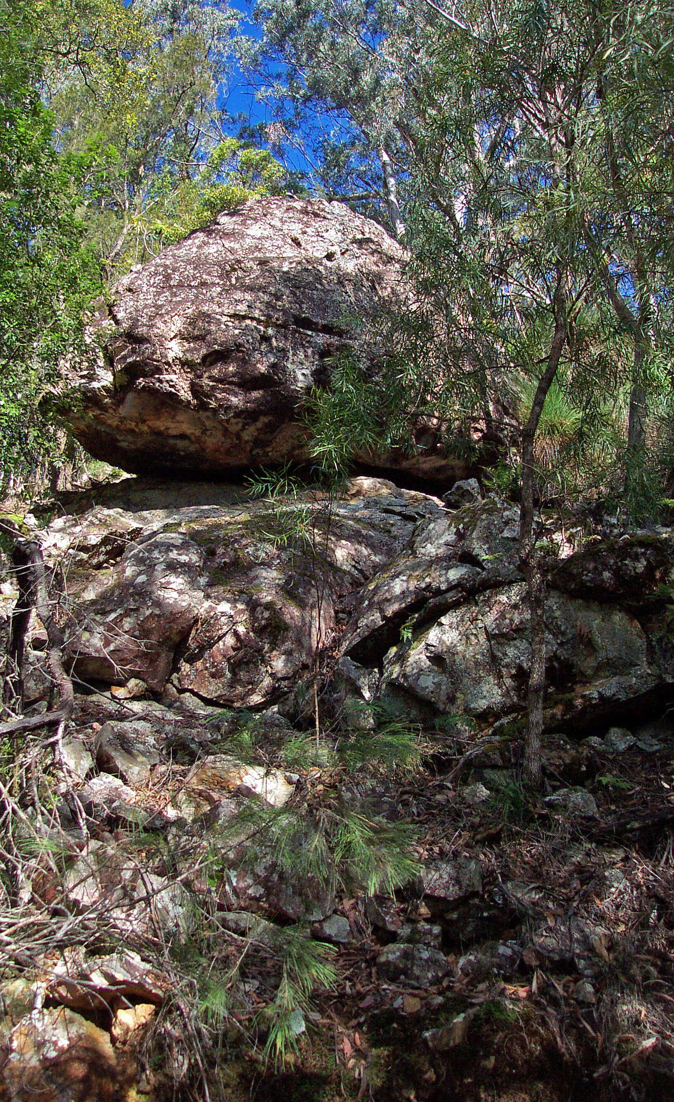
Four and a half hours from the start, with a temporary change of base rock, and a resultant change to dry scelerophyll forest, these balancing rocks appeared.
Photo: Don Hitchcock June 2003
However the wet and warm conditions showed their effect on species with these elkhorn epiphytes which would have been a welcome addition to many coastal gardens.
Photo: Don Hitchcock June 2003
Lianas crossed the road, which had medium sized saplings growing in it at this point, though much larger trees were growing in the middle of the road further down the hill, and it was occasionally difficult to make your way forward because of the tangled vegetation and fallen trees. The old logging road was last used fifty years or more ago.
Photo: Don Hitchcock June 2003
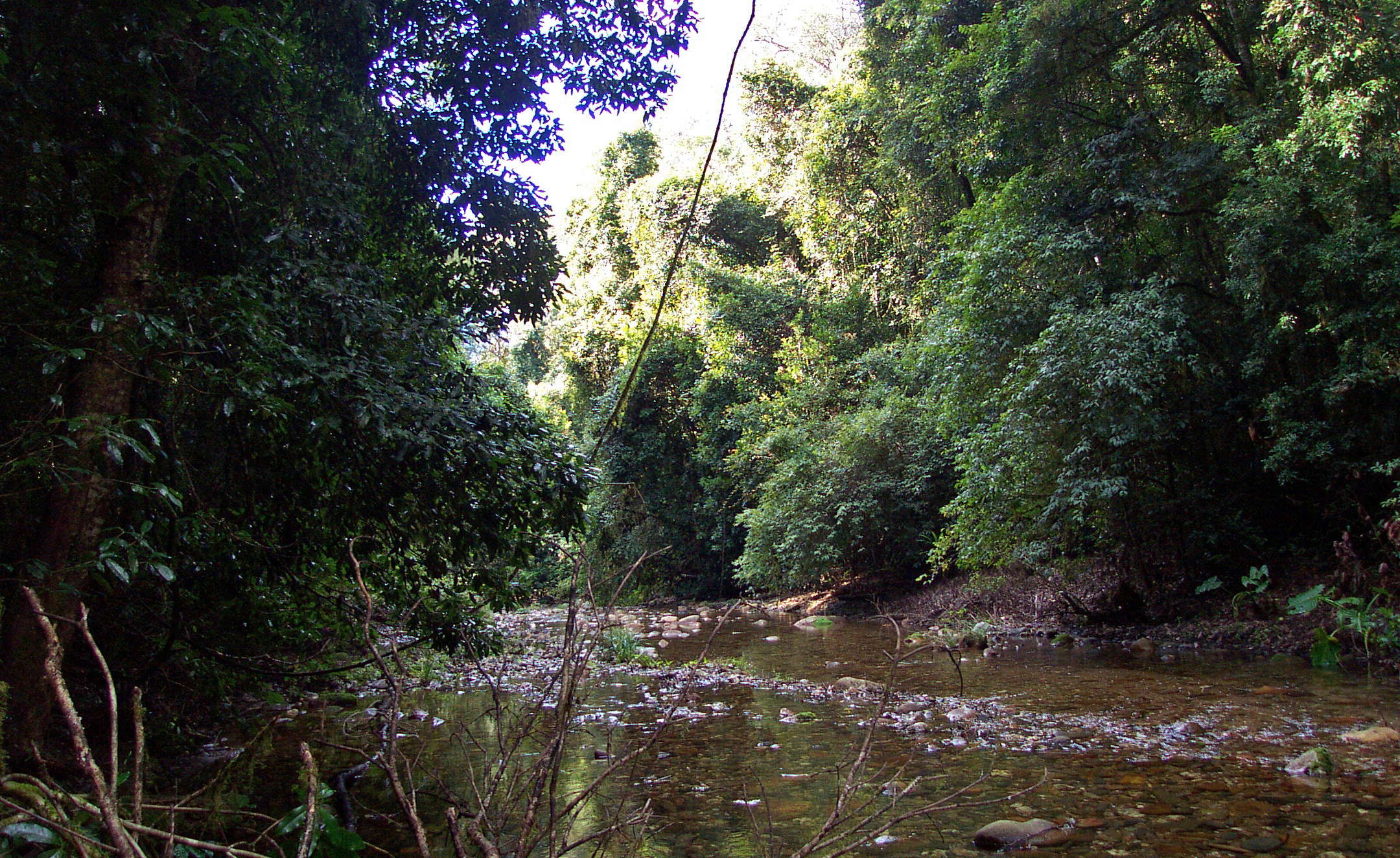
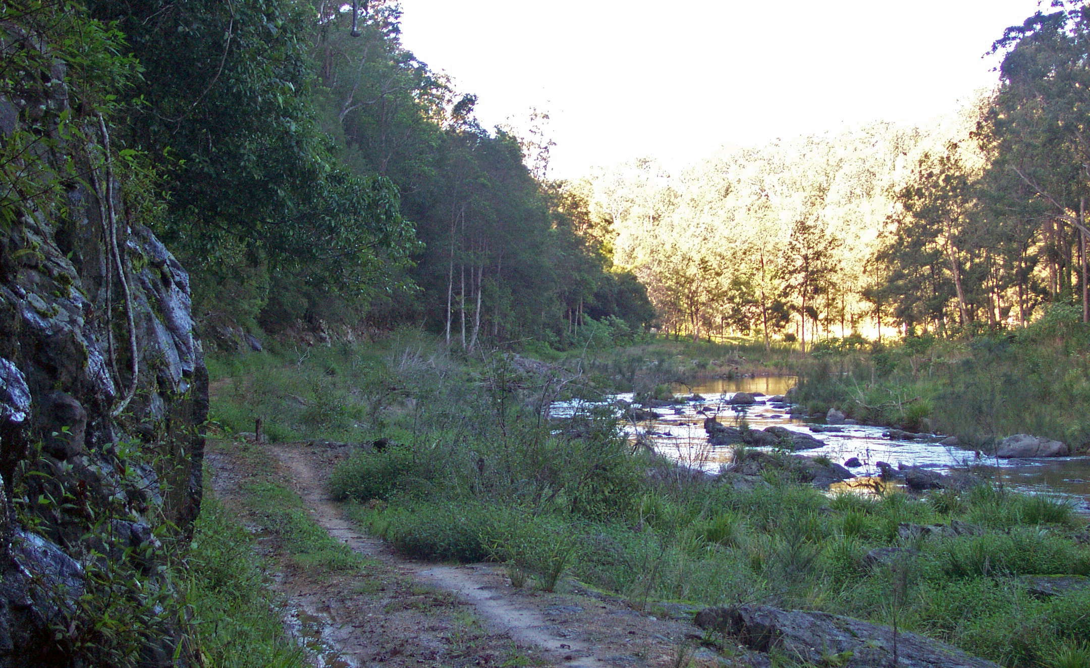
I got to Sunday Creek six hours from the start.
There was evidence of recent camps here beside the creek. I tried to follow the river bank, but heavy going in the excellent growing conditions, and the presence of many Stinging Trees or Gympie Bushes persuaded me to walk down the centre of the creek, with beautiful clear water over a gravel base.
Photo: Don Hitchcock June 2003
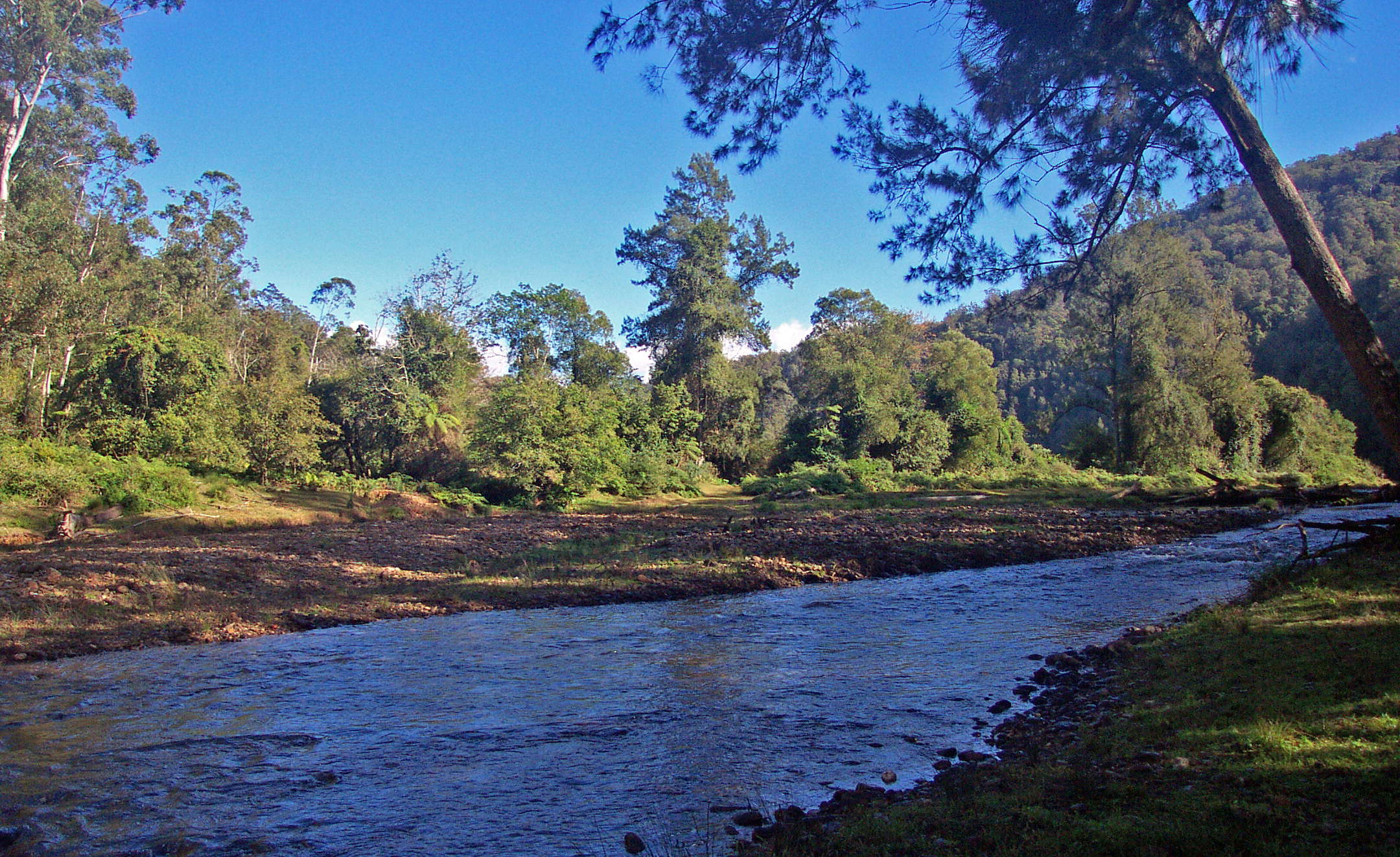
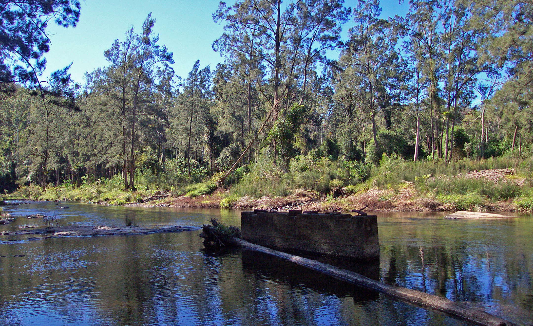
I got to the junction with the Bellinger River two hours later, wading down the creek the whole way, up to my waist at times.
I made camp on the true left of the Bellinger River amongst Gympie Bushes and similar looking bushes that were just pretending to be their more vicious cousins, and had more difficulty starting a fire than I've had for a long time, because of the sodden wood. These photos were taken the next morning at the start of the day's walk.
Photo: Don Hitchcock June 2003
Twenty minutes later I came across these Crows Nest Ferns, another type of epiphyte common in this area.
Photo: Don Hitchcock June 2003
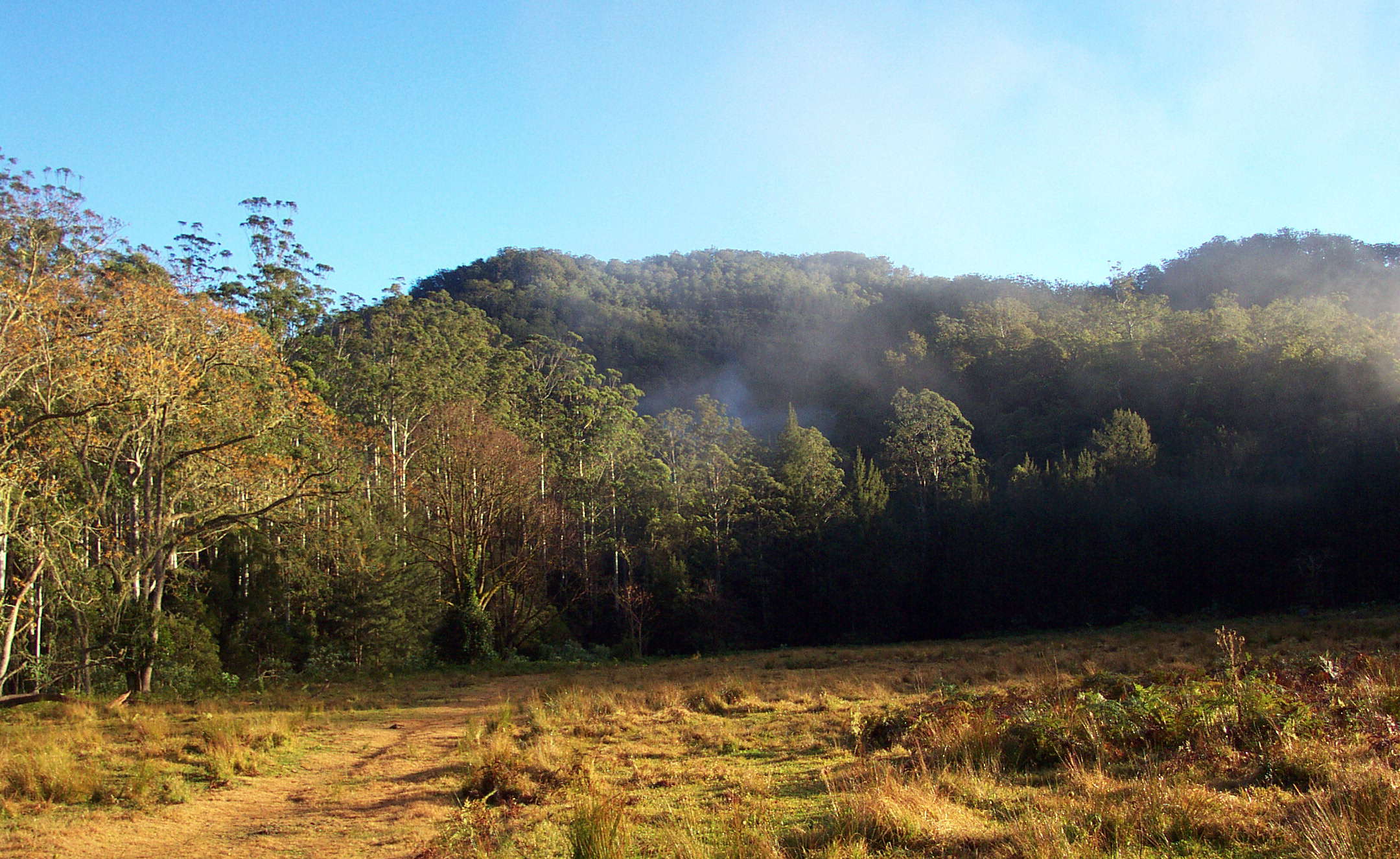
Three quarters of an hour from the Sunday Creek/Bellinger River junction, open farmland appeared. This was private property at the time, and I had to seek permission ahead of time to cross it. Now National Parks has purchased all necessary properties to enable the walk to be done on National Park land until you reach the public road.
Photo: Don Hitchcock June 2003
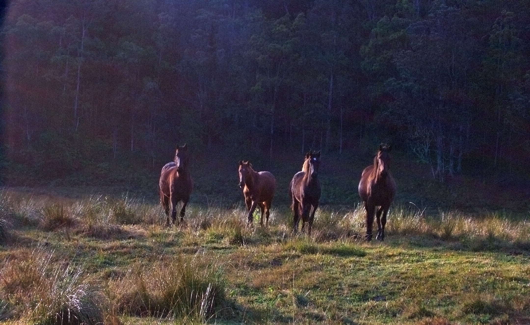
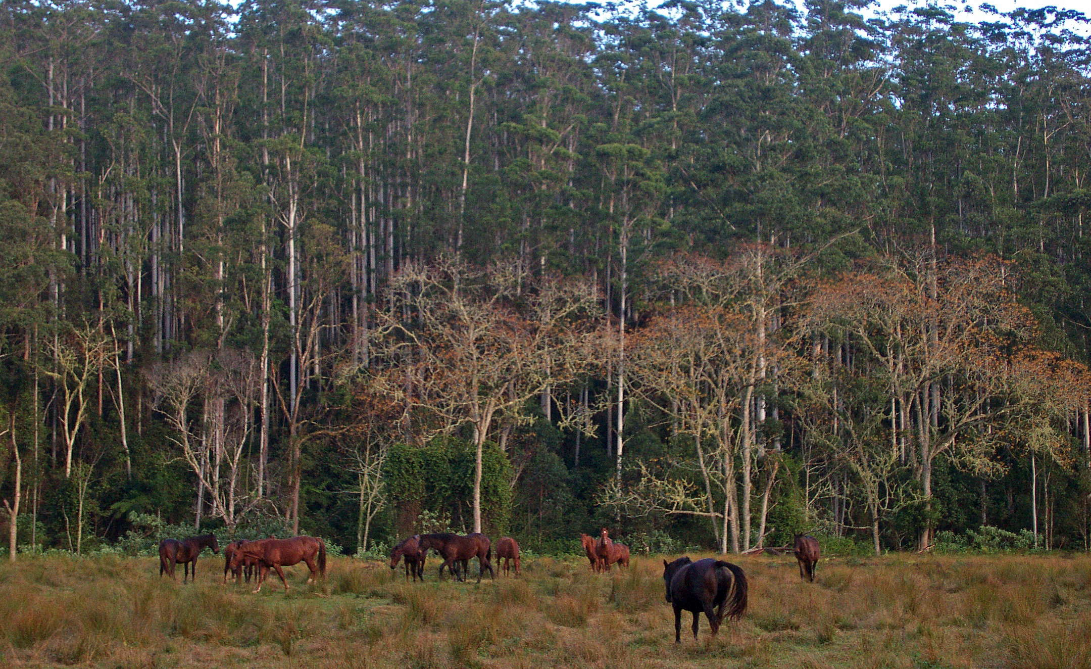
Horses with White Cedar trees and straight trunked coastal Eucalypts behind.
Photo: Don Hitchcock June 2003
The start of the abandoned road beside the Bellinger River. The road used to service World War I Soldier Settlement dairy farm blocks, but the farms were not economically viable, and the road is now in disrepair.
Photo: Don Hitchcock June 2003
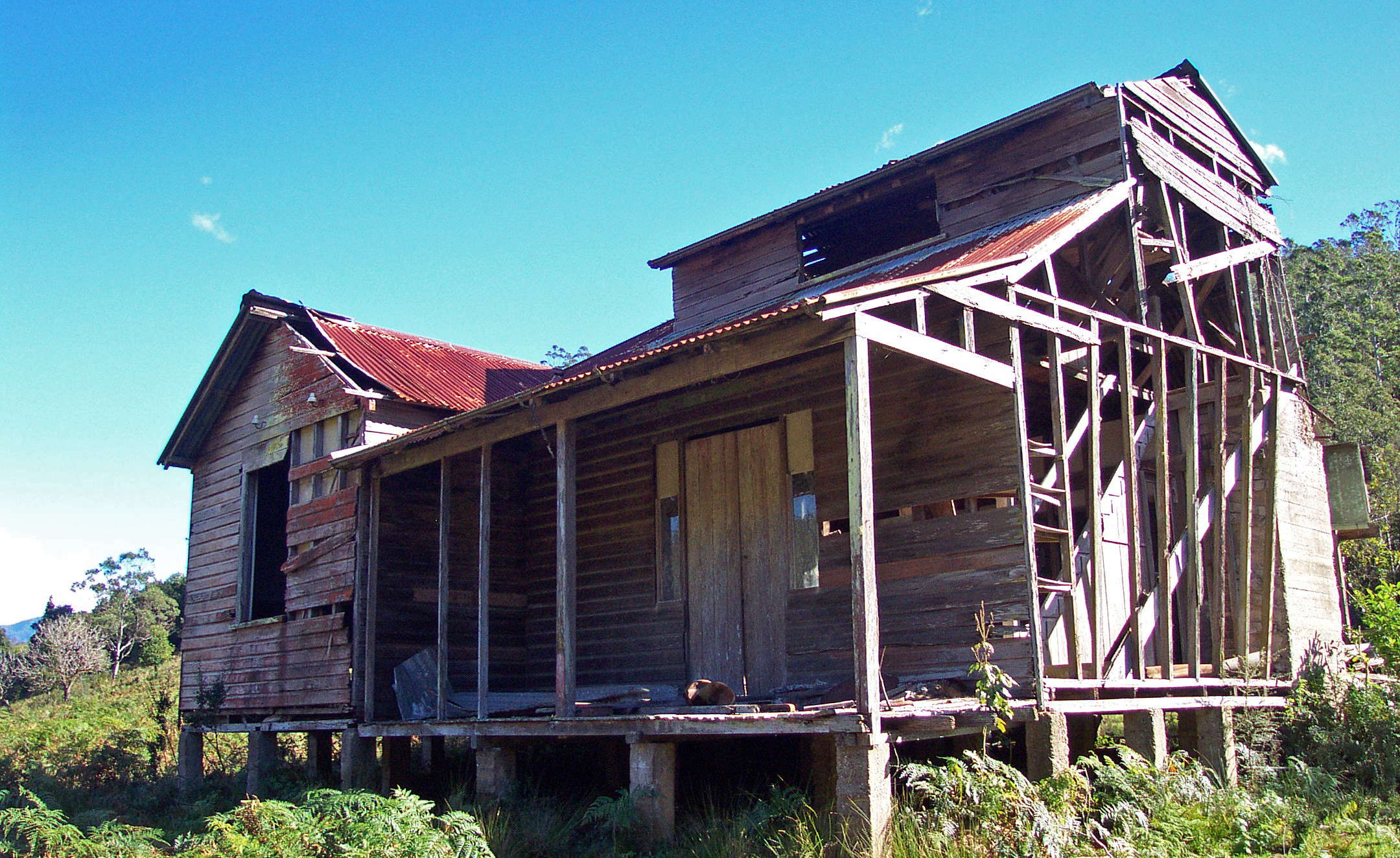
Mute evidence of broken dreams in a clearing with this abandoned dwelling beside the old road.
I imagined a child climbing the staircase to their attic bedroom, and looking across the fields by moonlight and later by the rays of the early morning sun before coming down to breakfast.
Photo: Don Hitchcock June 2003
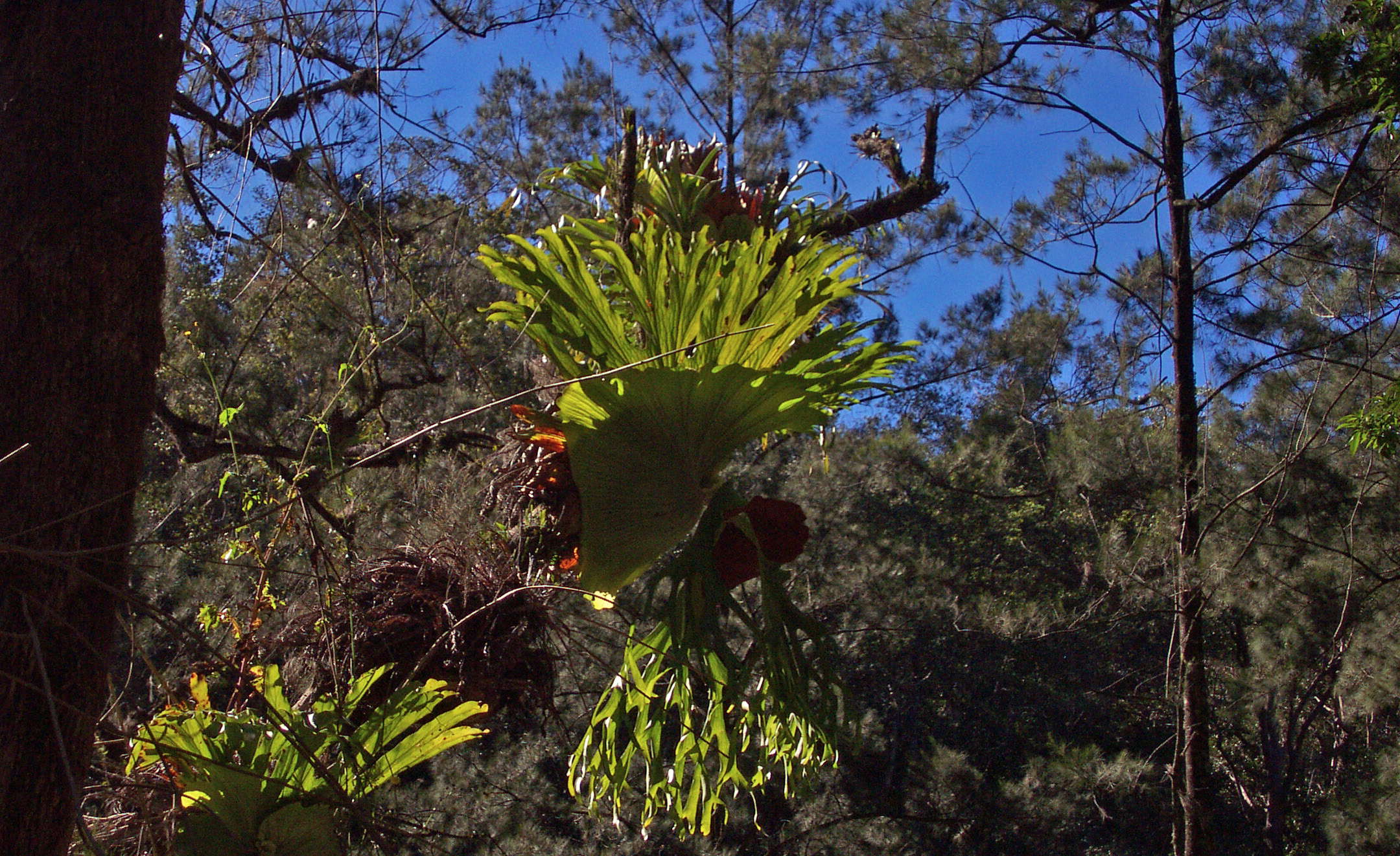
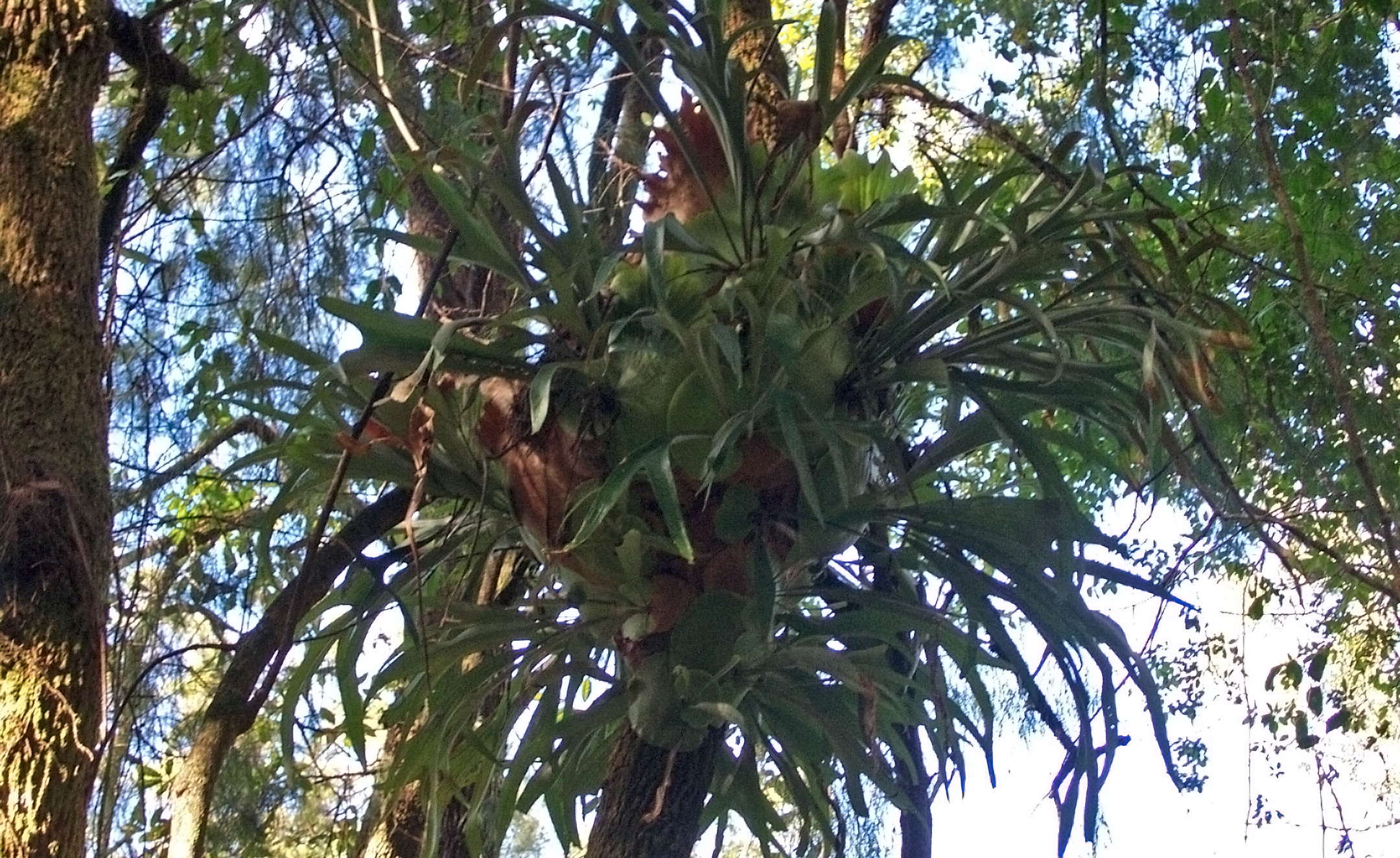
A superb Staghorn epiphyte.
Photo: Don Hitchcock June 2003
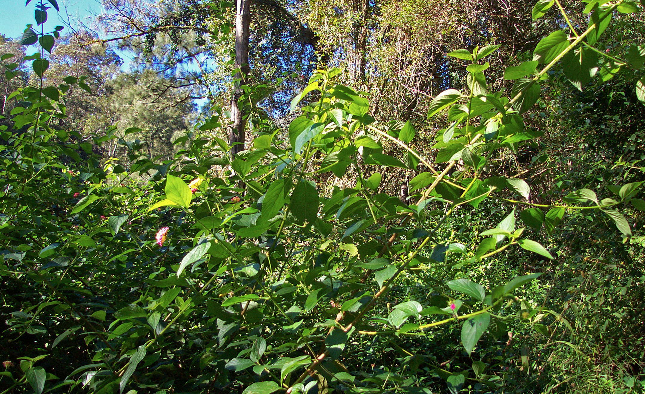
Lantana is a weed of the warm coast, a garden escape originally from South America. There are plans to release biological controls for this pest which takes over farmland if not controlled regularly.
There were several places on the abandoned road where progress was made very difficult by Lantana.
Photo: Don Hitchcock June 2003
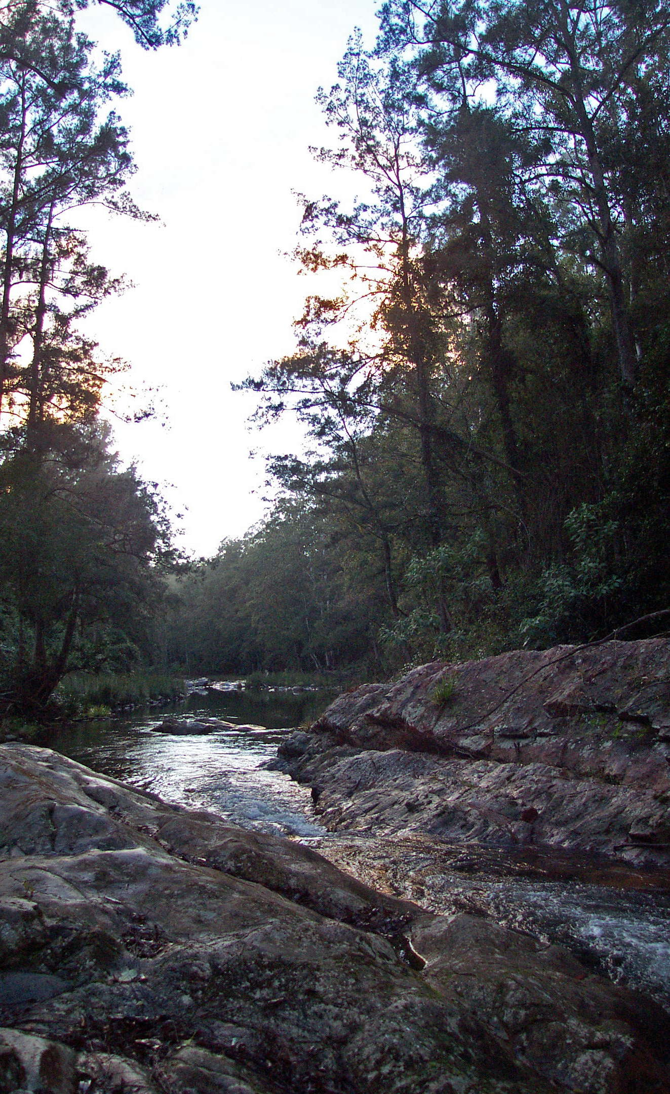
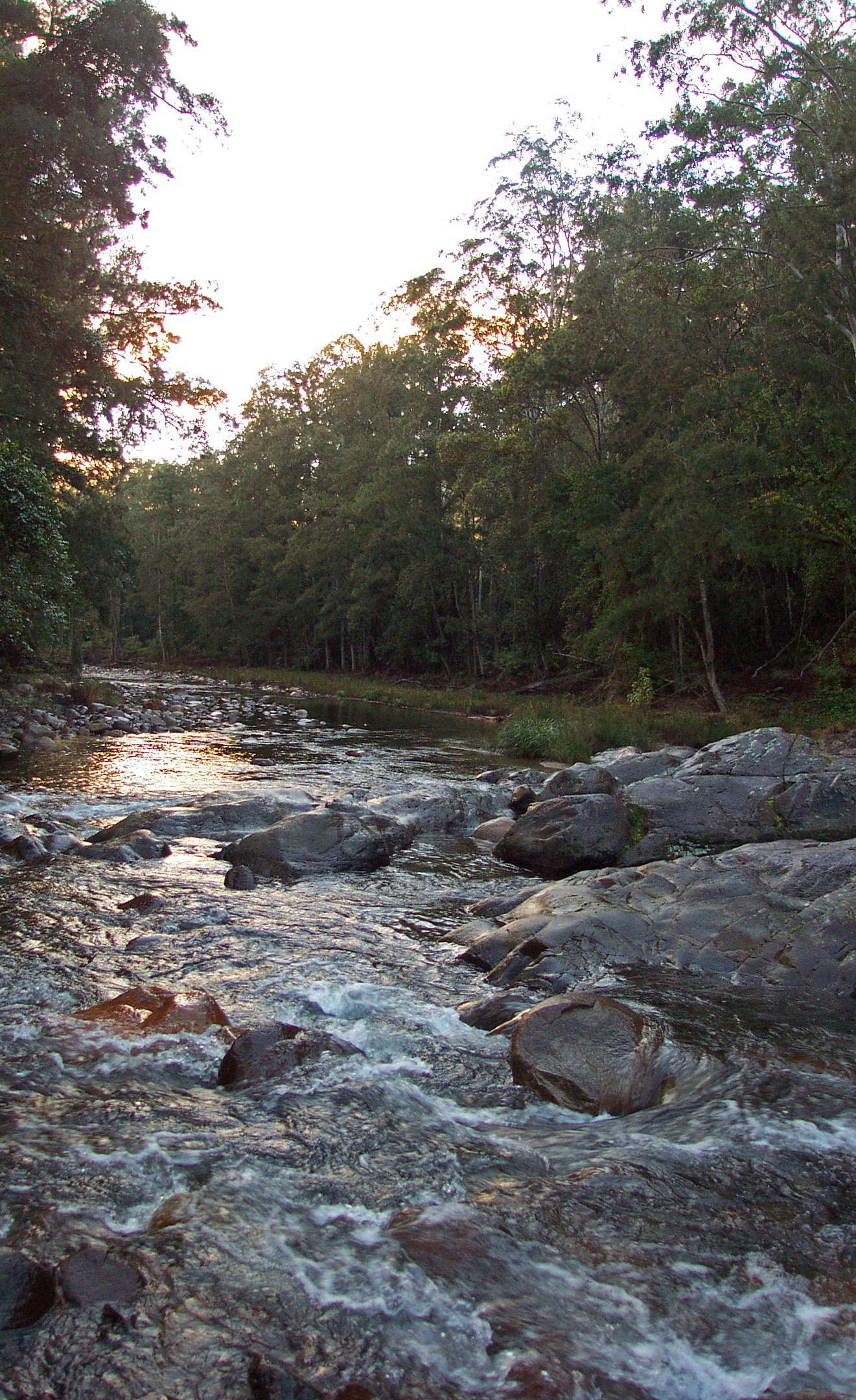
It was not easy to get across the river at this point, where the bridge had long fallen into the stream. I had lunch here, a little over six hours from breaking camp. I was faced with a wall of lantana across the old road, but managed to follow the stream to the start of the maintained dirt road.
Photo: Don Hitchcock June 2003
The road was not well maintained even as country roads go, but it was very much better than the road on the other side of the previous river crossing.
I walked down the road, prepared to spend all that day and some of the next on this road which leads to the junction with the main road from Armidale to the coast, and ringing Bellingen for a taxi either at Upper Thora if I could find a phone, or, failing that, at the junction itself where there is a general store, when I passed a lady walking her dog. We got talking, and she offered to take me to "Bello", as the locals call it, in two hours' time. I gladly agreed, and lay on my pack, gazing at the clouds moving in stately fashion across the sky, forming and reforming in fantastic shapes.
Photo: Don Hitchcock June 2003
I got out my billy and stove, and had a couple of turkish coffees in between and during cloud watching. A very pleasant way to spend the afternoon when you had expected to be road bashing till nightfall, and starting again in the morning on the mind numbing task of making distance along a road.
The lady was as good as her word, and I spent the night at the Backpackers' Hostel in Bellingen. As soon as I got to Bello I rang the proprietor of Bellingen Canoe Adventures based in Fernmount just downstream of Bellingen, at the place where the last of the tidal water reaches, and arranged to have the proprietor meet me in the morning with a canoe at the Hostel, and help me launch it. I'd never been in a kayak before, so "Bellingen Canoe Adventures" was pretty apt in this case!
The proprietor was really helpful, and gave me a few tips to get me started, after we got the canoe into the water below the bridge in the centre of town, where the Bellinger River is still fresh water. The canoes they hire out are flat bottomed, making them very hard to tip over, which was ideal for me, a rank beginner. I cannot speak too highly of the proprietors, they made it easy to take the last part of the journey to the coast, and they picked me and the canoe up in Urunga the next day and brought me back to Bellingen CBD, where I was able to pick up a bus back to Armidale. They are open seven days a week, rain, hail or shine, and I found their rates more than reasonable. I've used their services since, and been very impressed on subsequent trips, as I was on this one, with their friendliness, courtesy and professionalism.
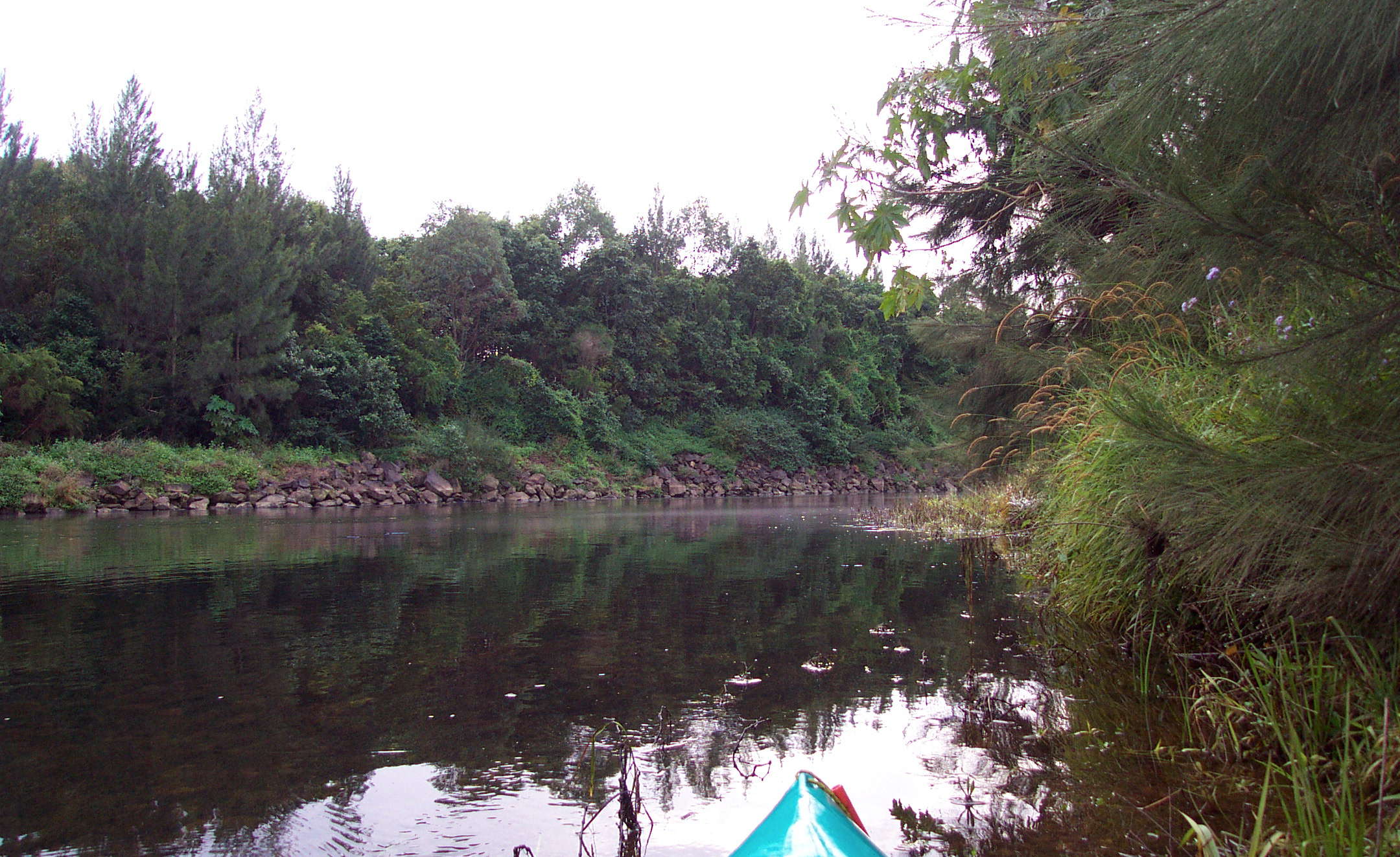
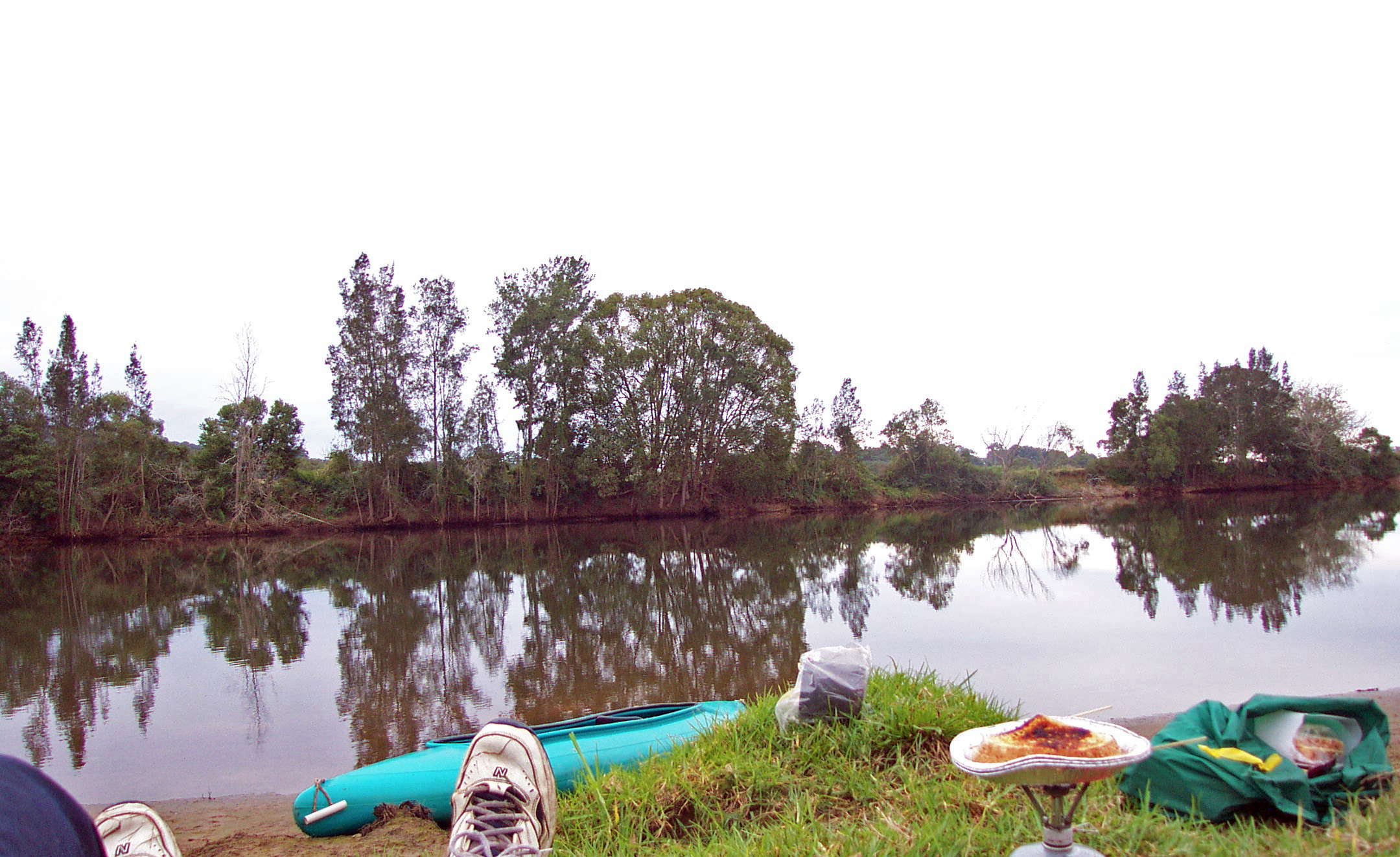
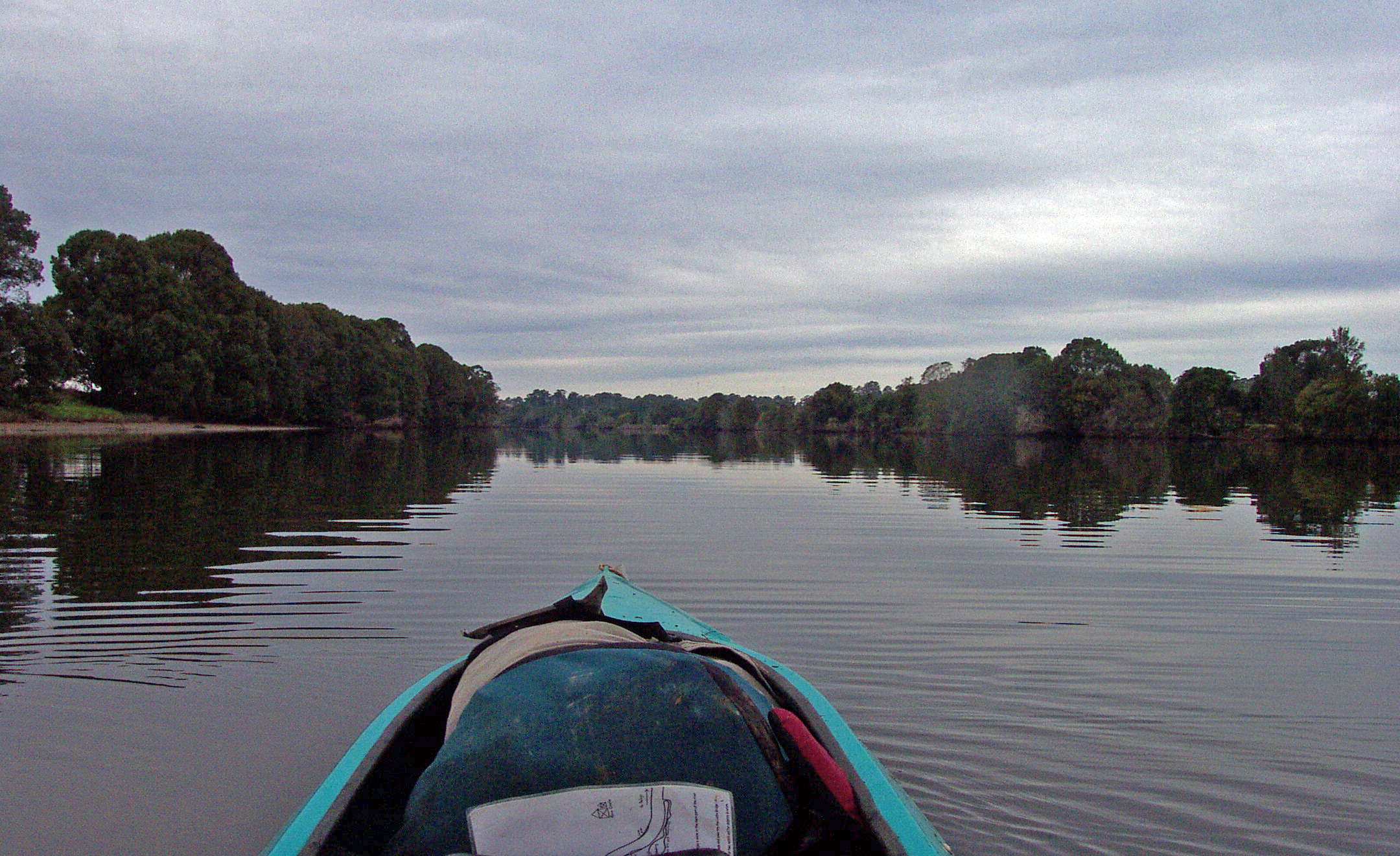
The start of the kayak section of the route down the Bellinger River, in fresh water. I had asked for a double kayak so that I could put my backpack in the front seat. This worked well.
Photo: Don Hitchcock June 2003
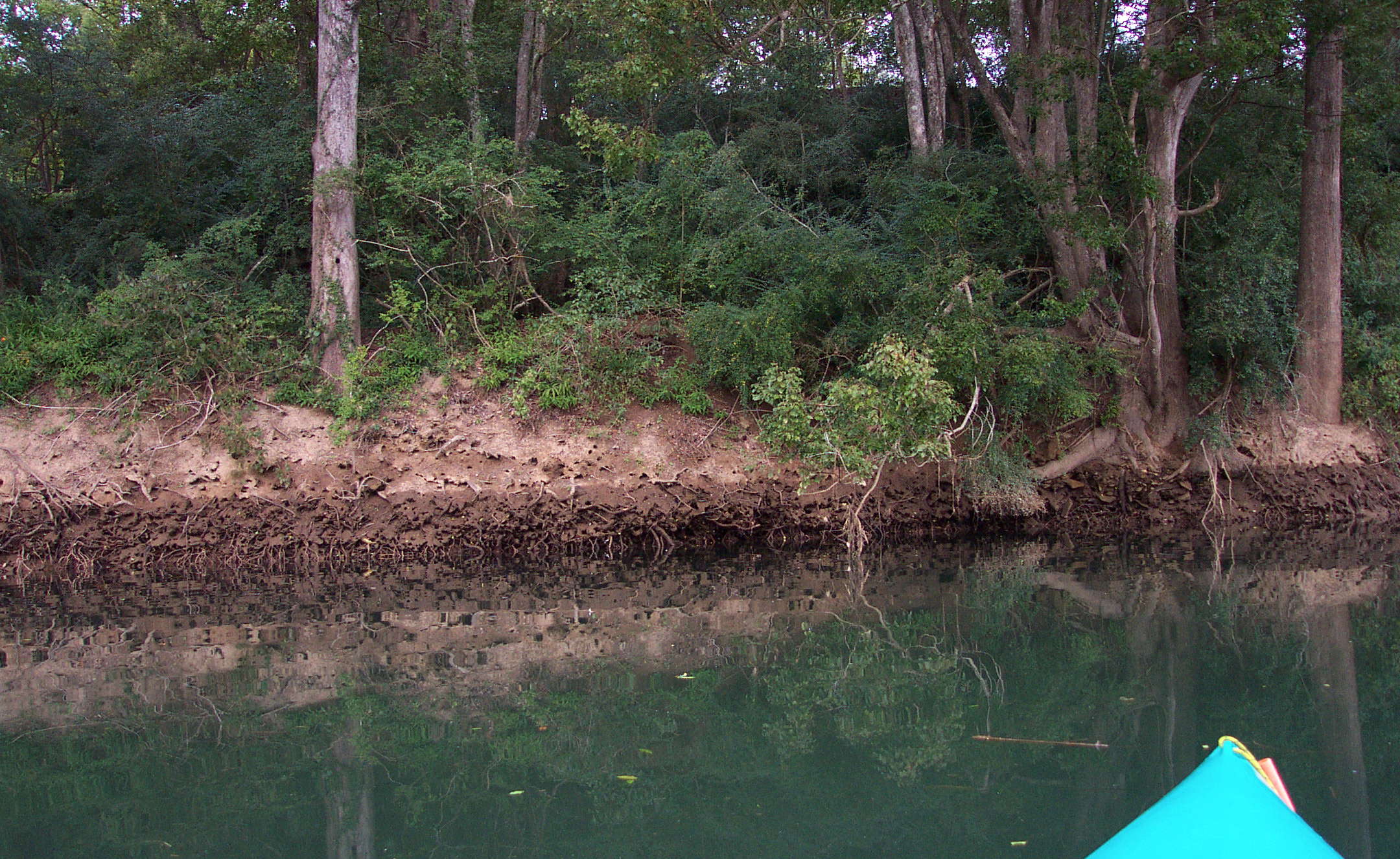
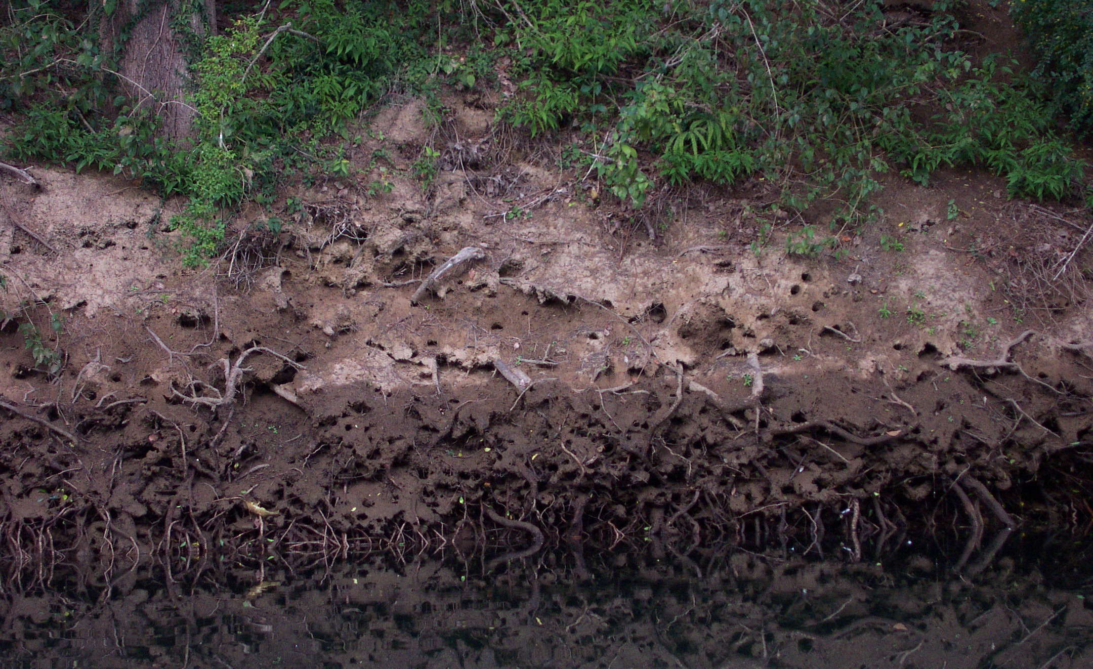
This shows the start of the tidal section, with the high tide marked on the bank by wet sand and roots.
It takes a while to get the hang of paddling in a straight line with a kayak, and beginners should expect to do a few 360°s before gaining some semblance of control over where they are headed.
On this trip before learning how to do it properly, I paddled for a few strokes to gain momentum and then trailed the paddle like a rudder for a few seconds to straighten up, which though not as efficient as a correct kayak stroke, worked pretty well.
Photo: Don Hitchcock June 2003
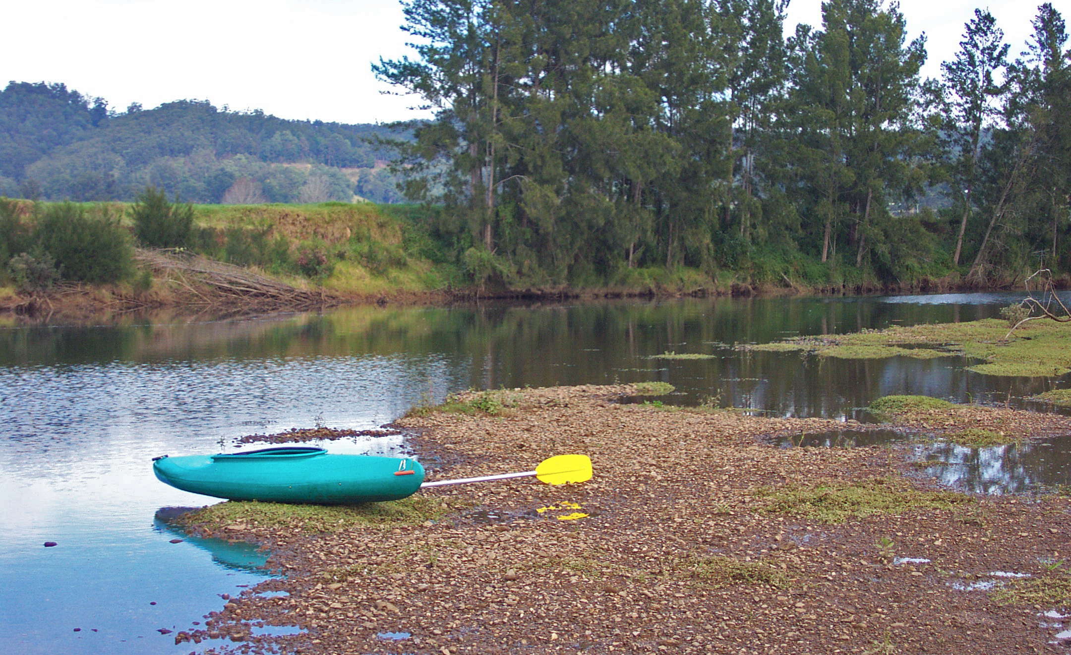
Hauled out onto a sandbank for a rest and some coffee. The kayak had a handle to make hauling easier.
Photo: Don Hitchcock June 2003
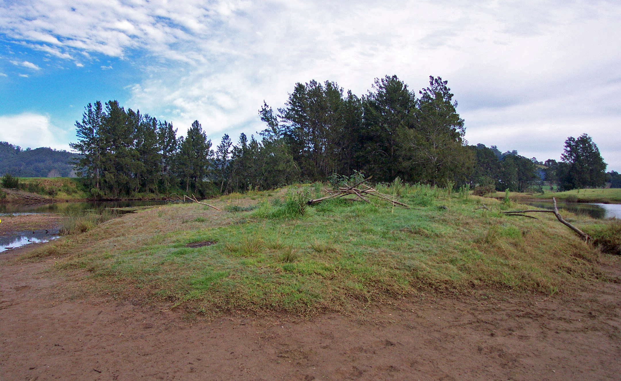
Sandy islands occurred frequently in this section of the river.
Photo: Don Hitchcock June 2003
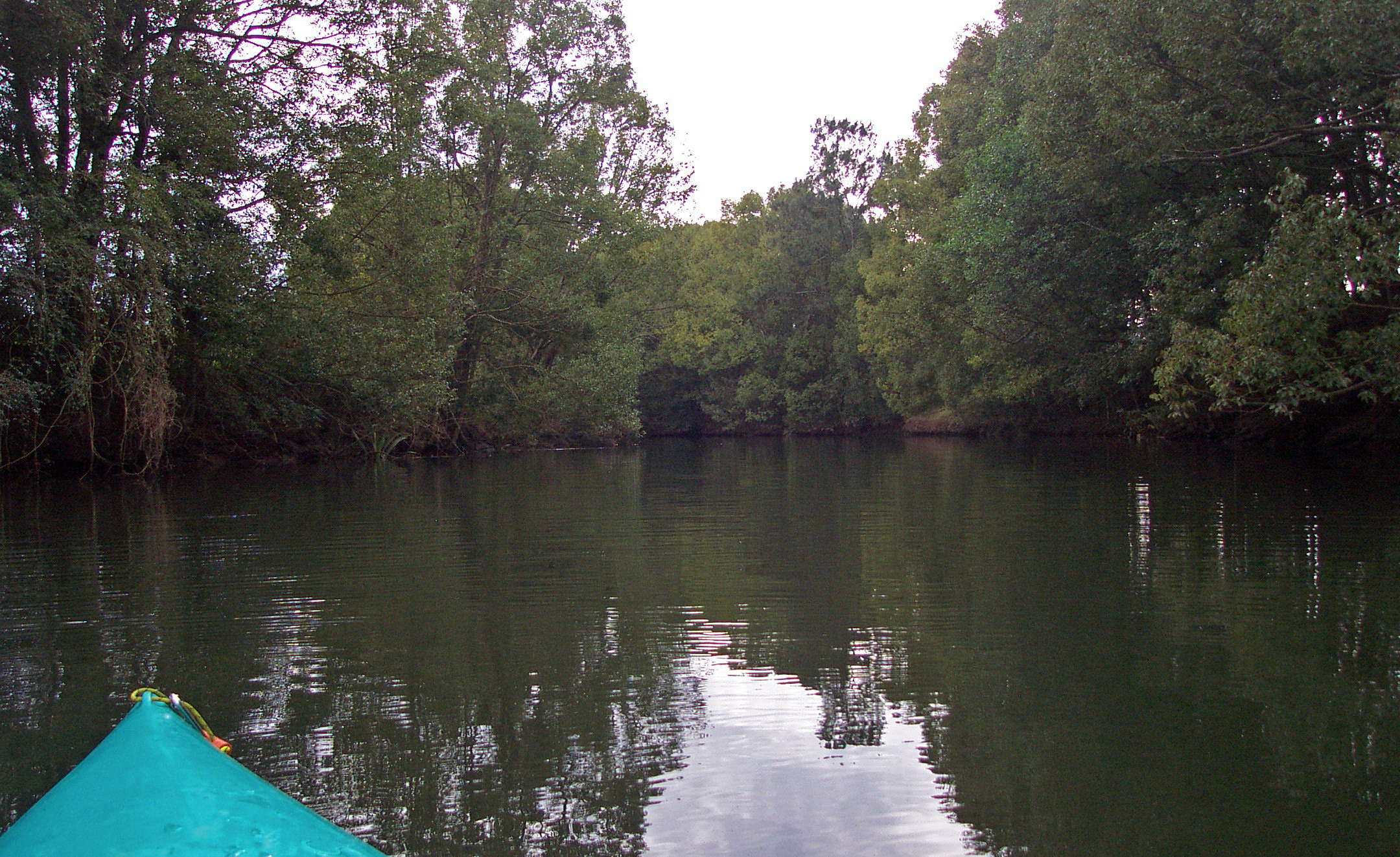
I explored up this side stream for a short distance.
Photo: Don Hitchcock June 2003
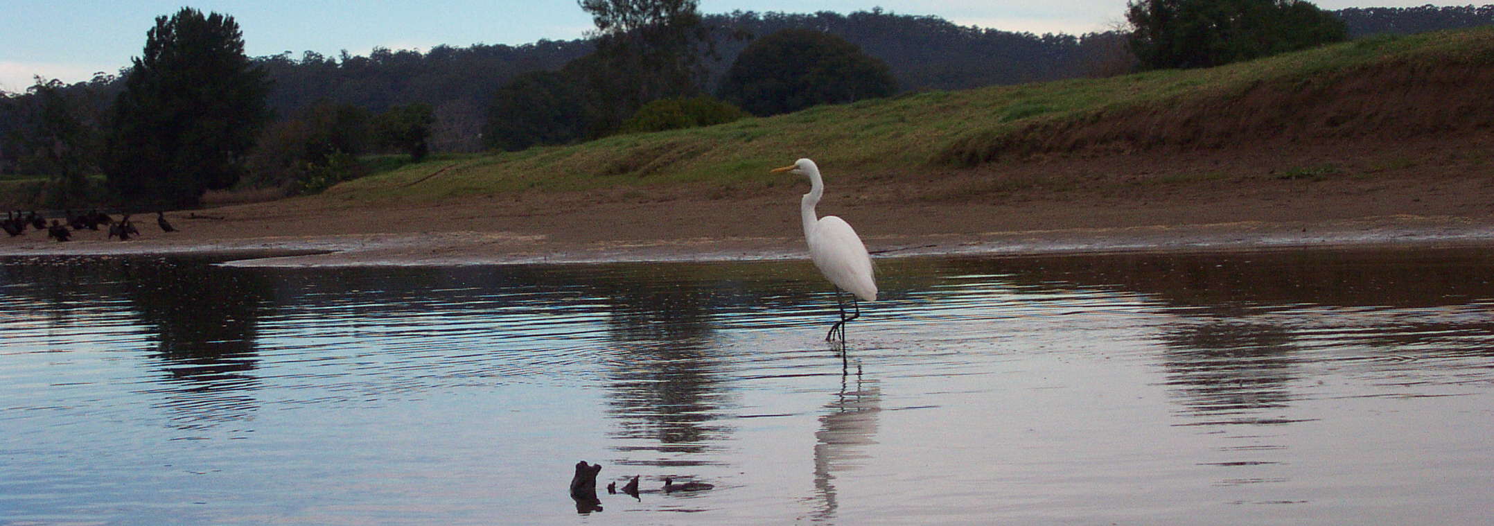
Great Egret.
Photo: Don Hitchcock June 2003
Text below adapted from Wikipedia and the Birds in Backyards website, http://www.birdsinbackyards.net/finder/display.cfm?id=84:
The Great Egret Ardea alba, also known as the Great White Egret, White Heron, or Common Egret, is a wading egret, found in most of the tropical and warmer temperate parts of the world.
The Great Egret is a large bird that can reach 101 cm in height and weigh up to 950 g, with all white plumage. It is only slightly smaller than the Great Blue or Grey Herons. Apart from size, the Great Egret can be distinguished from other white egrets by its yellow bill and black legs and feet. It also has a slow flight, with its neck retracted. This is characteristic of herons and bitterns, and distinguishes them from storks, cranes and spoonbills, which extend their necks.
For most of the year, when not breeding, the bill and facial skin are yellow. The feet are dark olive-grey or sooty black, as are the legs. During the breeding season, the bill turns mostly black and the facial skin becomes green. Also at this time, long hair-like feathers (nuptial plumes) hang across the lower back, and the legs become pinkish-yellow at the top. Young Great Egrets are similar to the adults, but have a blackish tip to the bill.
The Great Egret usually feeds alone. It feeds on molluscs, amphibians, aquatic insects, small reptiles, crustaceans and occasionally other small animals, but fish make up the bulk of its diet. The Great Egret usually hunts in water, wading through the shallows, or standing motionless before stabbing at prey. Birds have also been seen taking prey while in flight.
The Great Egret can be confused with other white egrets found in Australia. It can be distinguished by the length of its neck, which is greater than the length of its body (and with a noticeable kink two-thirds of the way up), a dark line extending from the base of the bill to behind the eye and the overall larger size.
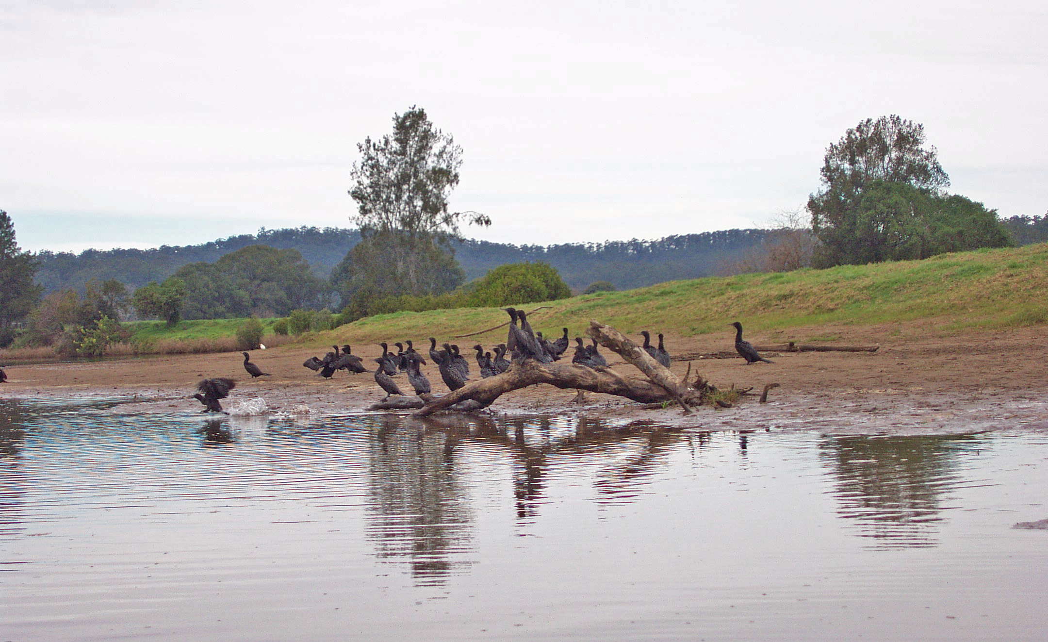
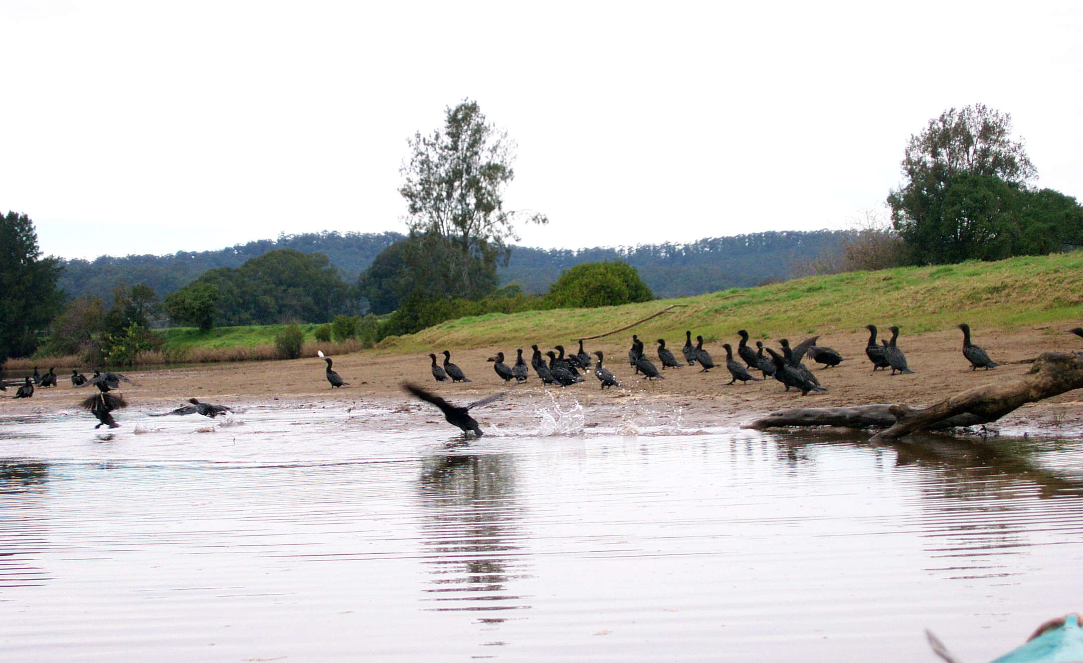
A group of what look like Little Black Cormorants.
Photo: Don Hitchcock June 2003
Text below adapted from the Birds in Backyards website, http://www.birdsinbackyards.net/finder/display.cfm?id=197:
The Little Black Cormorant, Phalacrocorax sulcirostris, is a small, slim, totally black cormorant with a greenish sheen to the back and a slender grey hooked bill. In the breeding season, adults have fine white flecks on the head and neck and the green tinge becomes more bronze. This species congregates in larger flocks than other cormorants and flies in V-shaped formations.
The Little Black Cormorant is one of only two totally black cormorants in Australia, with the other being the much larger (70 cm - 90 cm) Great Cormorant, P. carbo, which has a yellow bill, face and throat and a white chin. The Great Cormorant also flies more often in long lines than in V-shaped formations.
The Little Black Cormorant is found throughout Australia, including Tasmania. It is also found from Borneo and Java, Indonesia, to Papua New Guinea, Vanuatu, New Caledonia, Solomon Islands, Palua and New Zealand.
The Little Black Cormorant is mainly found in freshwater wetlands, but will sometimes be found on sheltered coastal waters, and can use relatively small, deep water bodies. It is strongly aquatic, seldom being seen on dry land, but is often seen resting on rocks, jetties and other perches in water.
The Little Black Cormorant feeds on fish, crustaceans and aquatic insects. It catches prey underwater, by diving and swimming using its large, fully webbed feet for propulsion. It has special nictitating membranes that cover and protect the eyes underwater. As their feathers are not waterproof, cormorants are regularly seen perched with their wings outstretched to dry after fishing.
It was noon, and time for lunch. I put together a cheese sandwich and buttered it on the outside, then toasted it on my lightweight frypan consisting of three aluminium pie tins stapled together, over a "Pocket Rocket" propane burner.
It is a system that works very well.
By this time it had turned cool, and the sky had clouded over completely.
Photo: Don Hitchcock June 2003
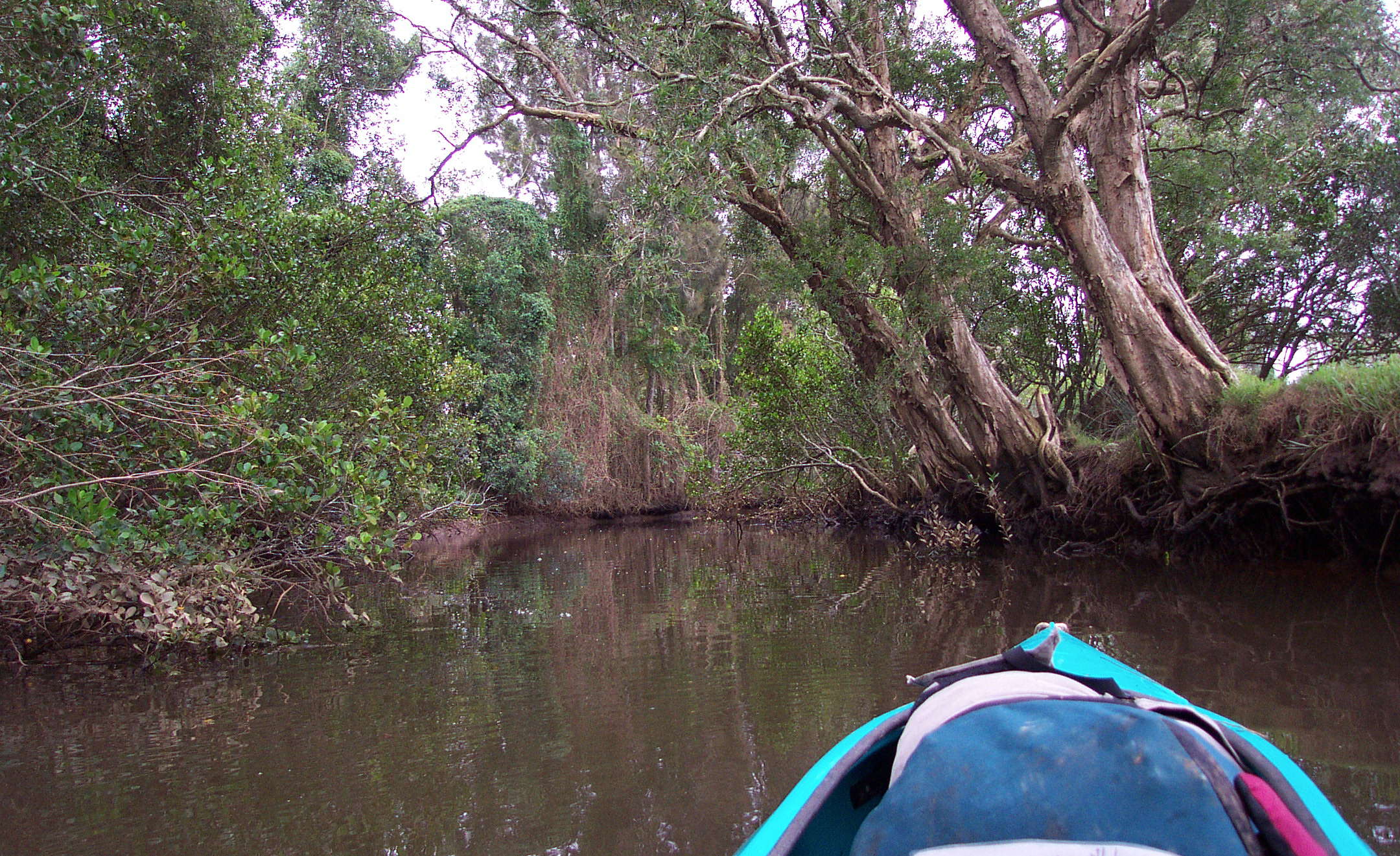
This little side stream narrowed rapidly, and I backed out.
Photo: Don Hitchcock June 2003
By 13.30 hours it was getting almost dark with the heavy cloud cover, and I felt cold because I had been dripping water onto my clothes from the paddle. Next time I'll use a spray skirt, and wear polypropylene long johns instead of normal clothes.
Photo: Don Hitchcock June 2003
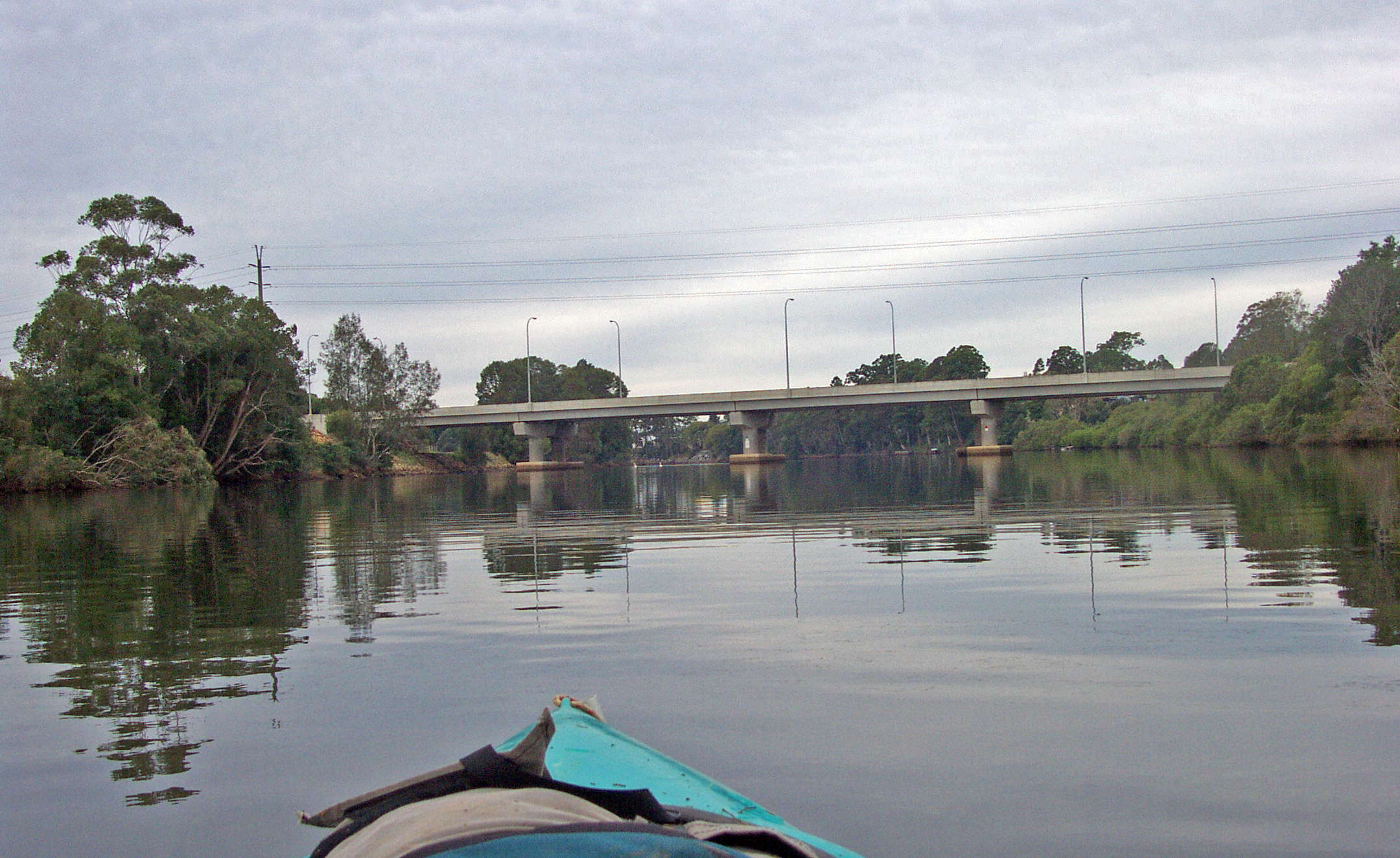
Ten minutes later I was glad to get a position fix from this bridge across the Bellinger. I wasn't far from Repton Caravan Park, where I had decided to pull in to spend the night and get warm. I was in the first stages of hypothermia, though I didn't quite realise it at the time. I just knew I was cold and needed to haul out and get warm and dry.
Photo: Don Hitchcock June 2003
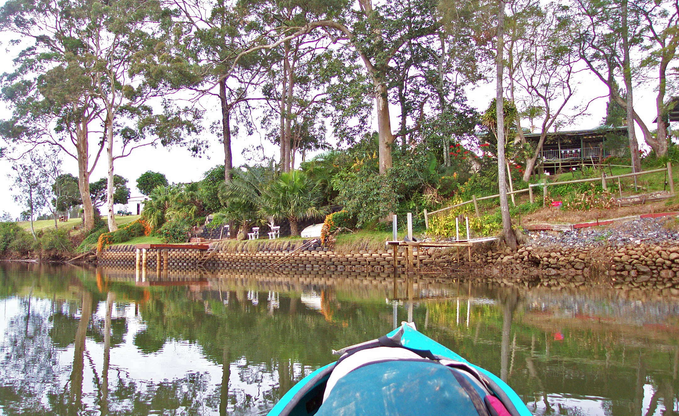
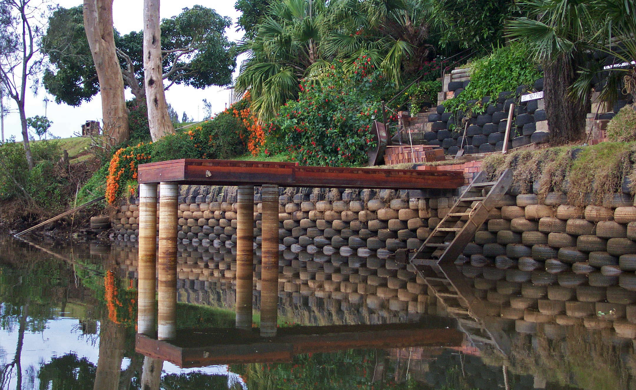
This is one of the most delightful and useful and well executed examples of recycling I've ever seen.
The river was like a mill pond, making it hard to see where the waterline is.
Photo: Don Hitchcock June 2003
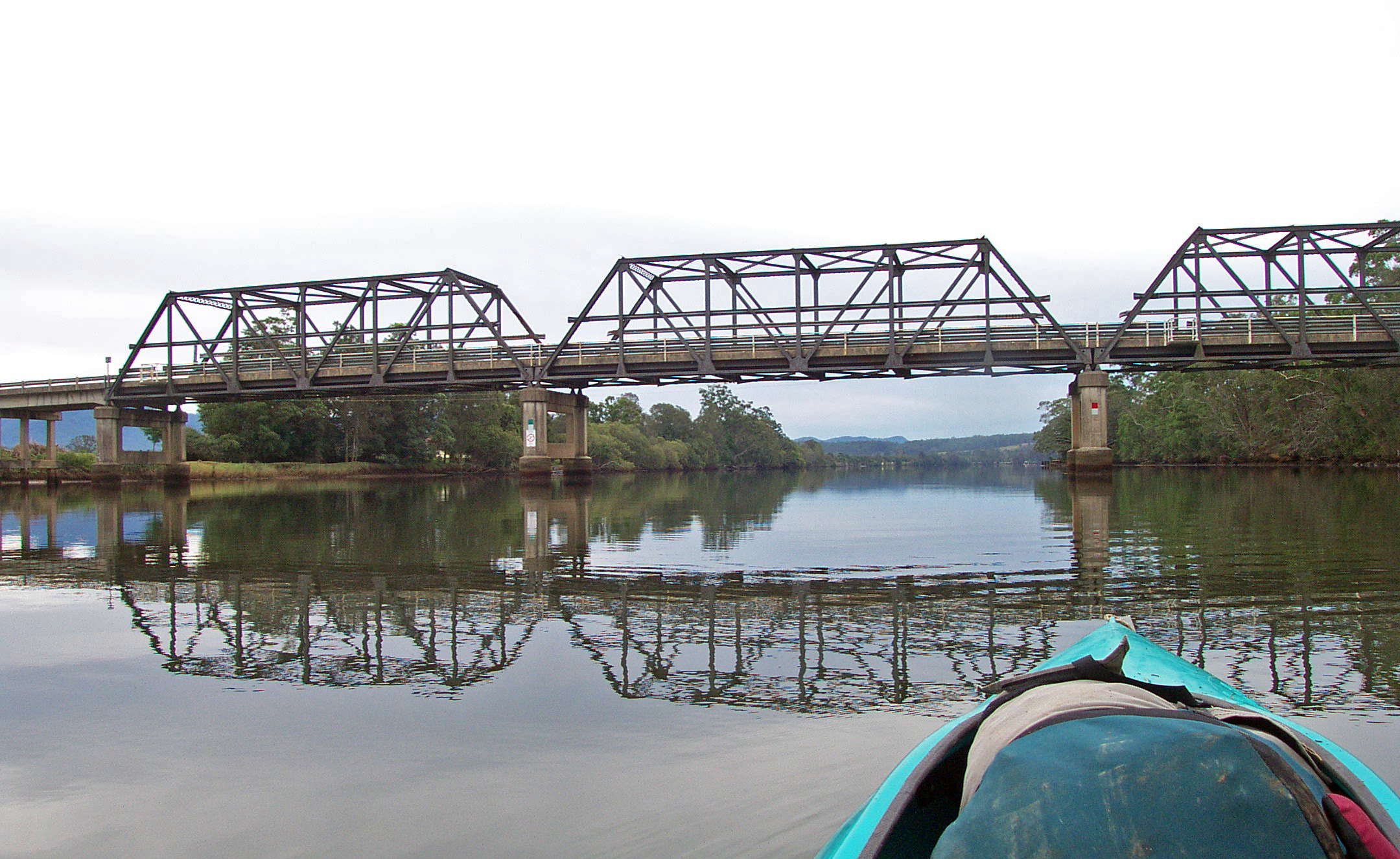
Train bridge across the river.
Photo: Don Hitchcock June 2003
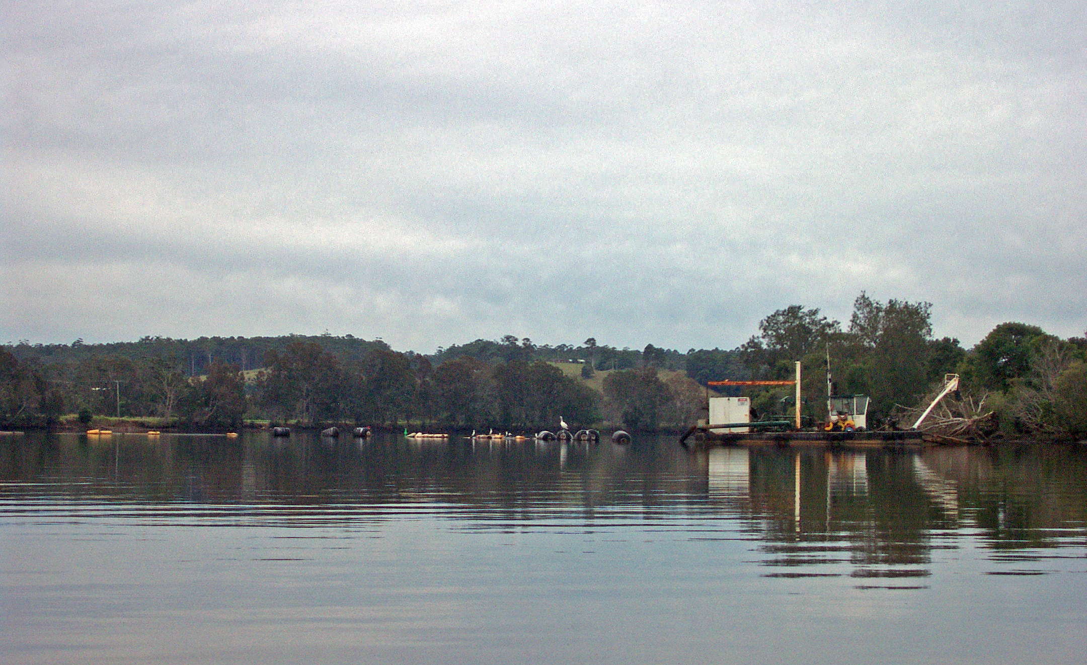
A strange boat which I could not work out the purpose of, but it looked like a former vehicle ferry.
Photo: Don Hitchcock June 2003
The far end of Repton Caravan Park, which extends along the river for a considerable distance. It was 14.10 h, and I was cold, tired, wet and confused, classic symptoms of hypothermia. I knew I wasn't thinking straight, but couldn't do much about it.
Photo: Don Hitchcock June 2003
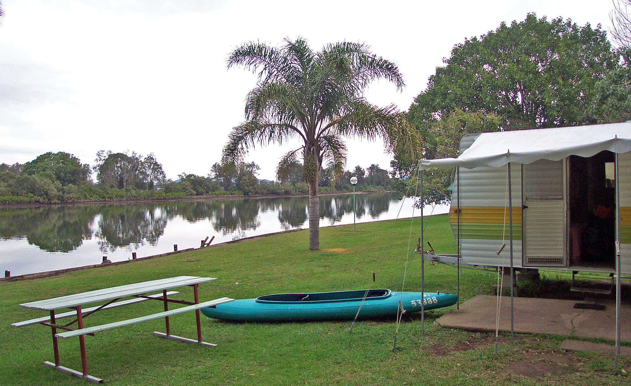
I pulled in to the Park, stumbled awkwardly up to the grass from the water, found the proprietor, and got a caravan. It was a bit weird parking my kayak where a car would normally be. I borrowed an electrical fan heater to warm up a bit, changed into dry clothes, had several cups of strong hot sweet black tea, and started to feel a bit better. Much longer on the water and I would have been seriously ill with hypothermia.
Kayaking does not warm you the way walking does. If I'd been walking, I would have had no symptoms of distress at all, because my core body temperature would have been kept up by the walking, as it had been on the first day when walking for a couple of hours up to my waist at times in the cold Sunday Creek. This photo was taken half an hour after arrival, when I had started to feel a little better. It took a couple of hours before I was back to normal.
Photo: Don Hitchcock June 2003
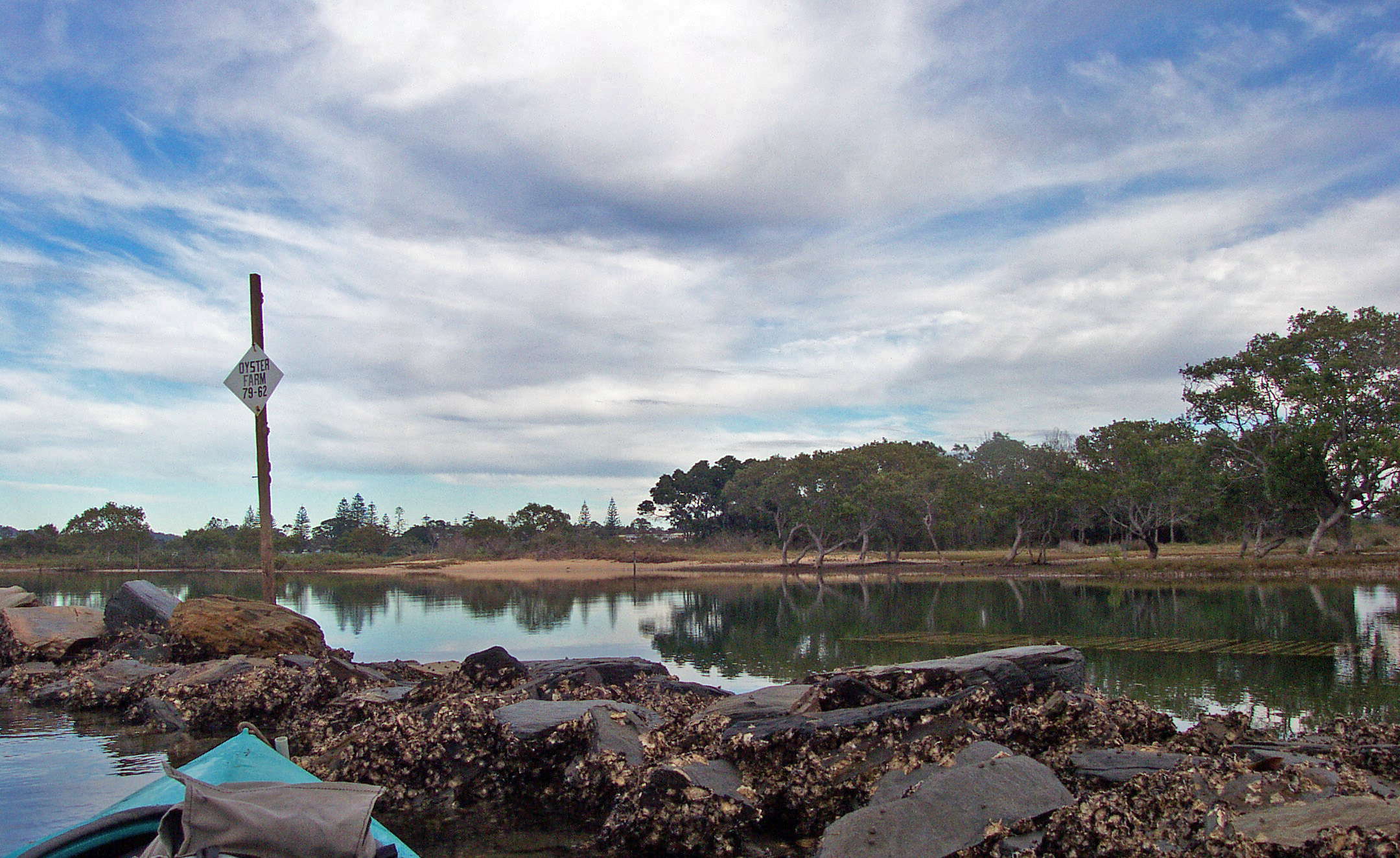
I set off feeling great in the morning after a good feed, a warm bed, and a good night's sleep. This was an oyster farm along the way.
Photo: Don Hitchcock July 1 2003
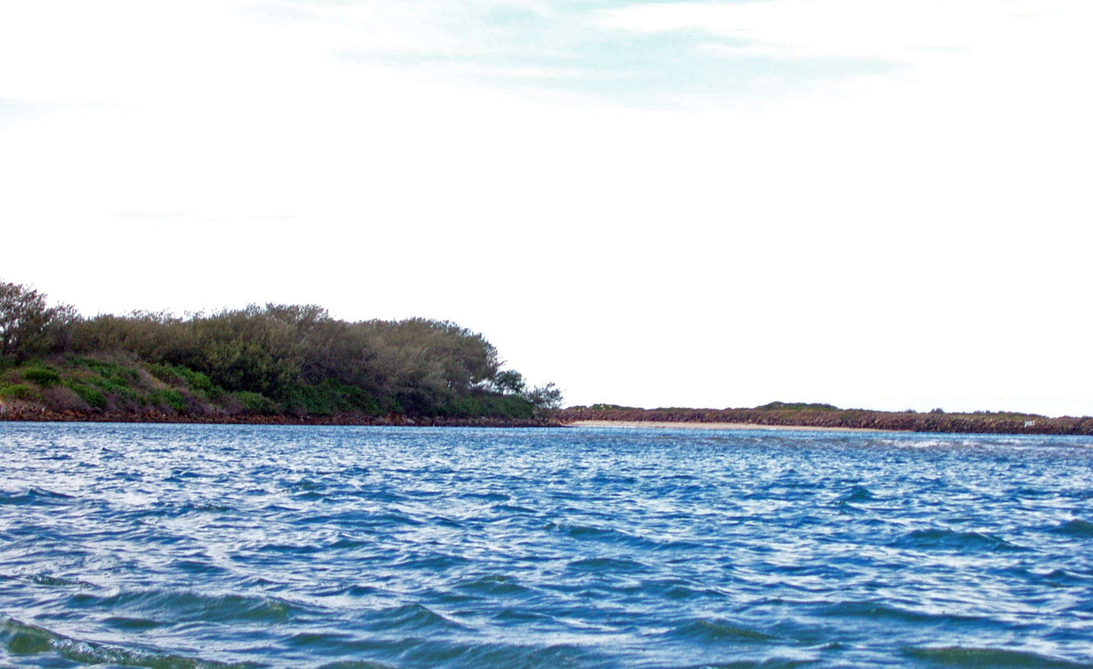
The view towards the outlet to the sea. I had planned to go to the surf, but decided against it, as the tide was against me. I could barely make headway at this point, and then only by staying close to the rocky spit on my right.
Photo: Don Hitchcock July 1 2003
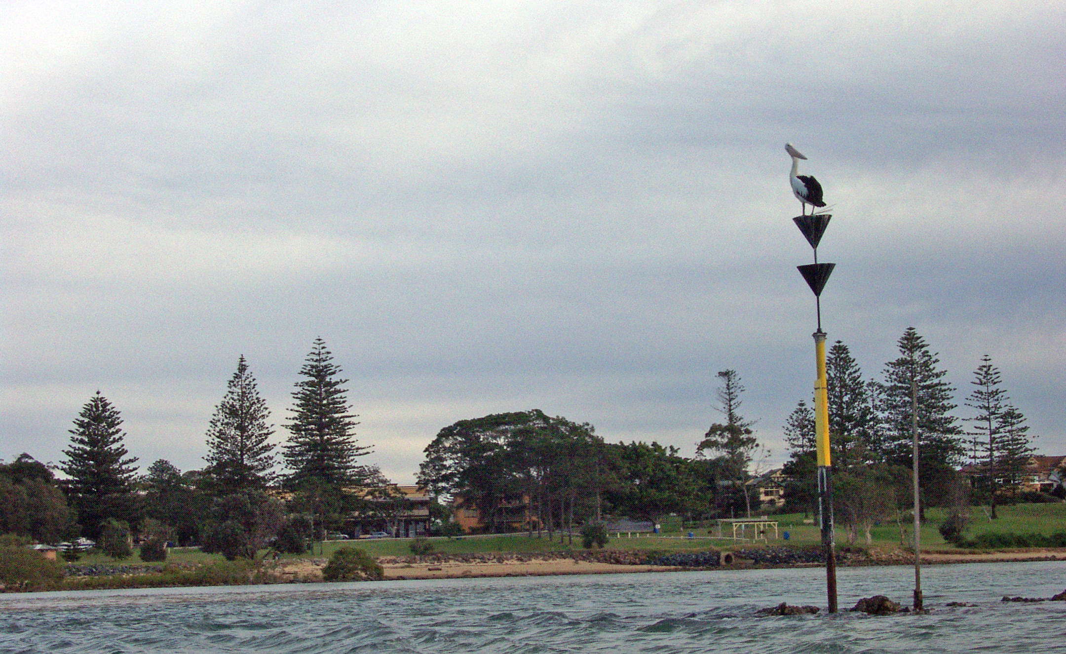
This pelican looked like a traffic cop - I had to make almost a 180° turn around this v shaped spit of rock in order to make it safely to land at Urunga. Once I turned the corner into the Kalang River, the tide carried me towards the sand where I wanted to go. The pub I had seen was starting to look pretty good, even though it was only mid morning.
Photo: Don Hitchcock July 1 2003
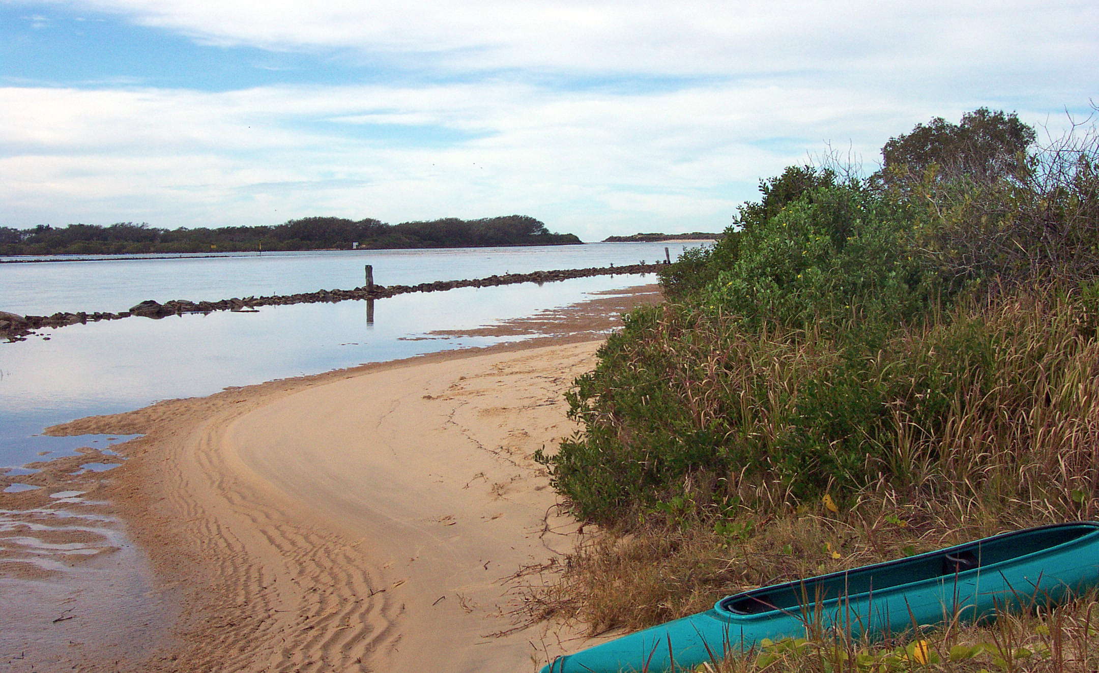
It wasn't easy to negotiate a second line of rocks, but eventually I got to the sand. I went up to the Urunga Ocean View pub and had a beer, (they have a magnificent front bar with a huge picture window) and called the proprietor of Bellingen Canoe Adventures who came down straight away and picked me and the canoe up, and brought me back to Bellingen CBD, where I was able to catch a bus back to Armidale a few hours later.
I felt a real sense of achievement, it is a classic walk from mountains to the sea.
Photo: Don Hitchcock July 1 2003
Bushwalking Index Anyone (e.g. students, libraries, government agencies such as tourist bureaus, the general public) may use, print and publish the photographs taken by me and presented on this bushwalking file for any legitimate non-commercial purpose, at no cost, and without asking permission. However a note such as "Photo: Don Hitchcock" somewhere in the document would be appreciated if it is to be published.