Back to Don's Maps
Cycling down the Danube
Day 2, 2nd September 2008
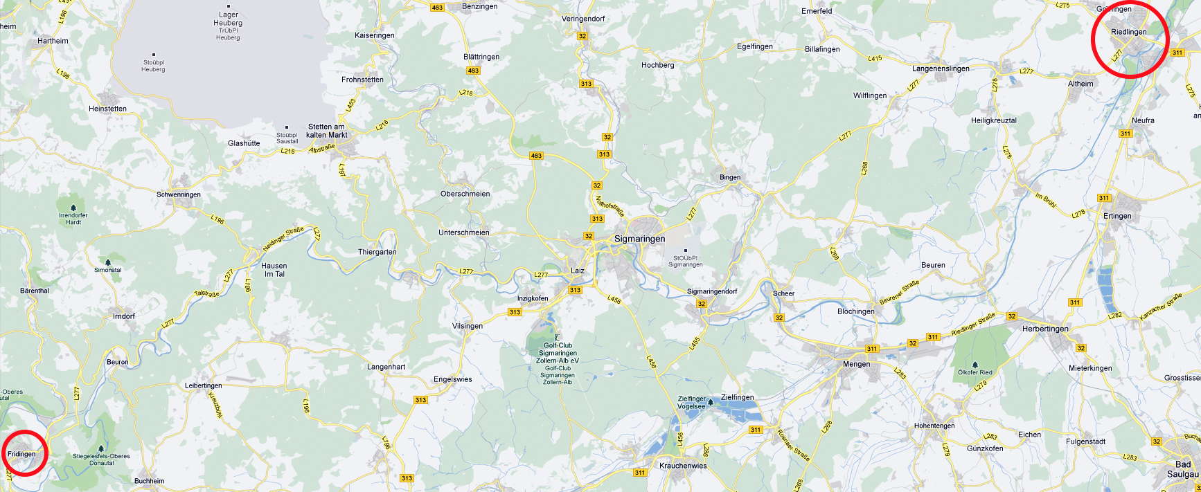
Photo: Google maps
From Maria's Diary:
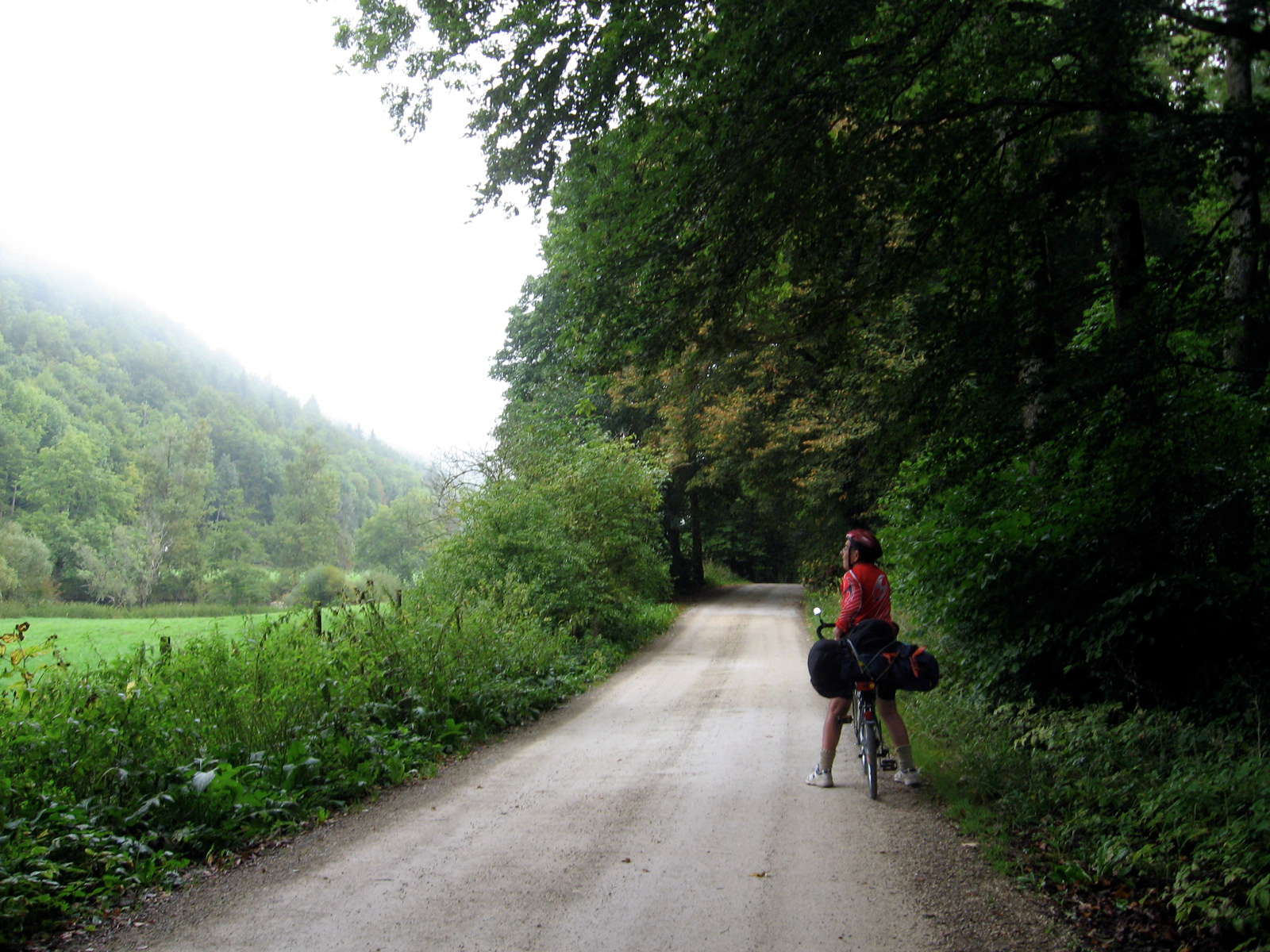
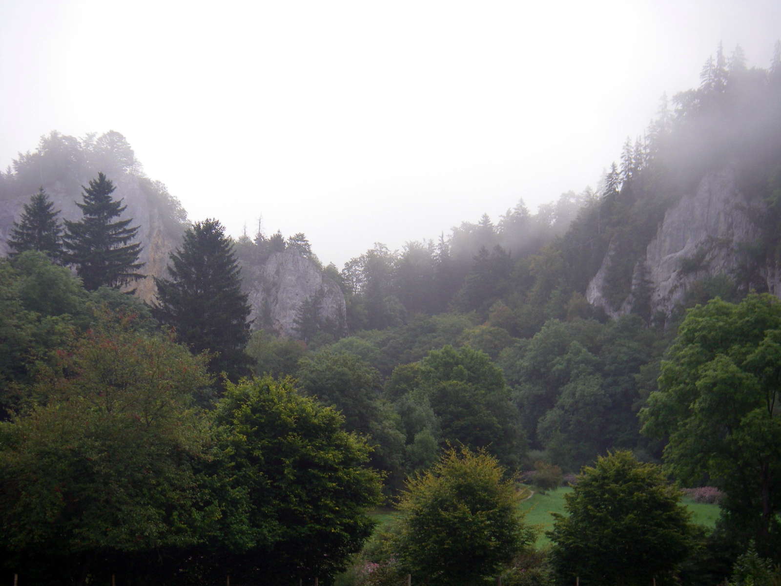
The weather was cool and misty. We set off at 0800 after an early breakfast at 0700 (inclusive in the price of the room). It was a real feast - your typical German-style continental breakfast of fresh bread rolls, sliced sausage, cheese, boiled egg, home-made jams and plenty of filter coffee. It was very foggy until mid-morning but it was dry for which we were thankful.
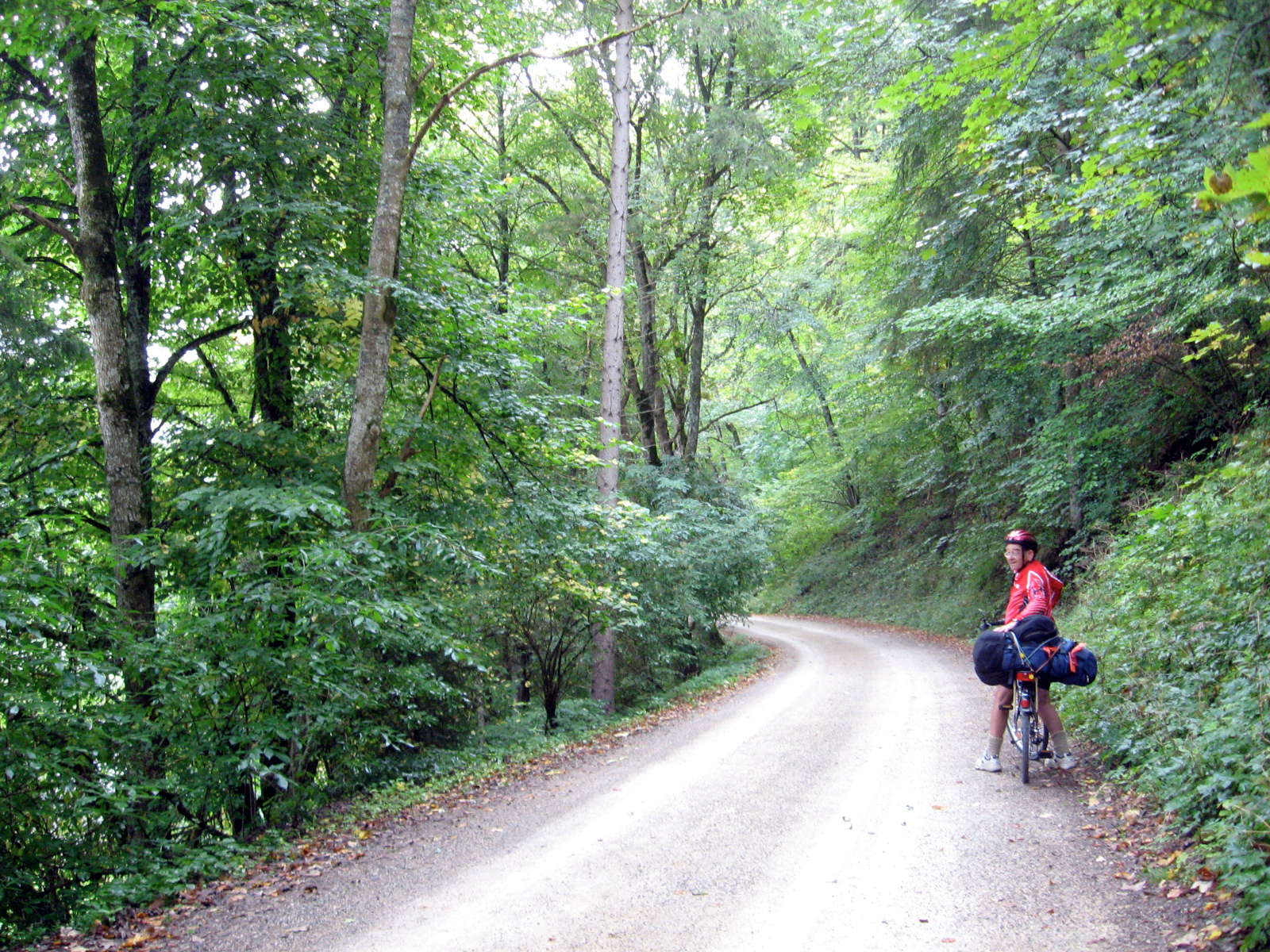
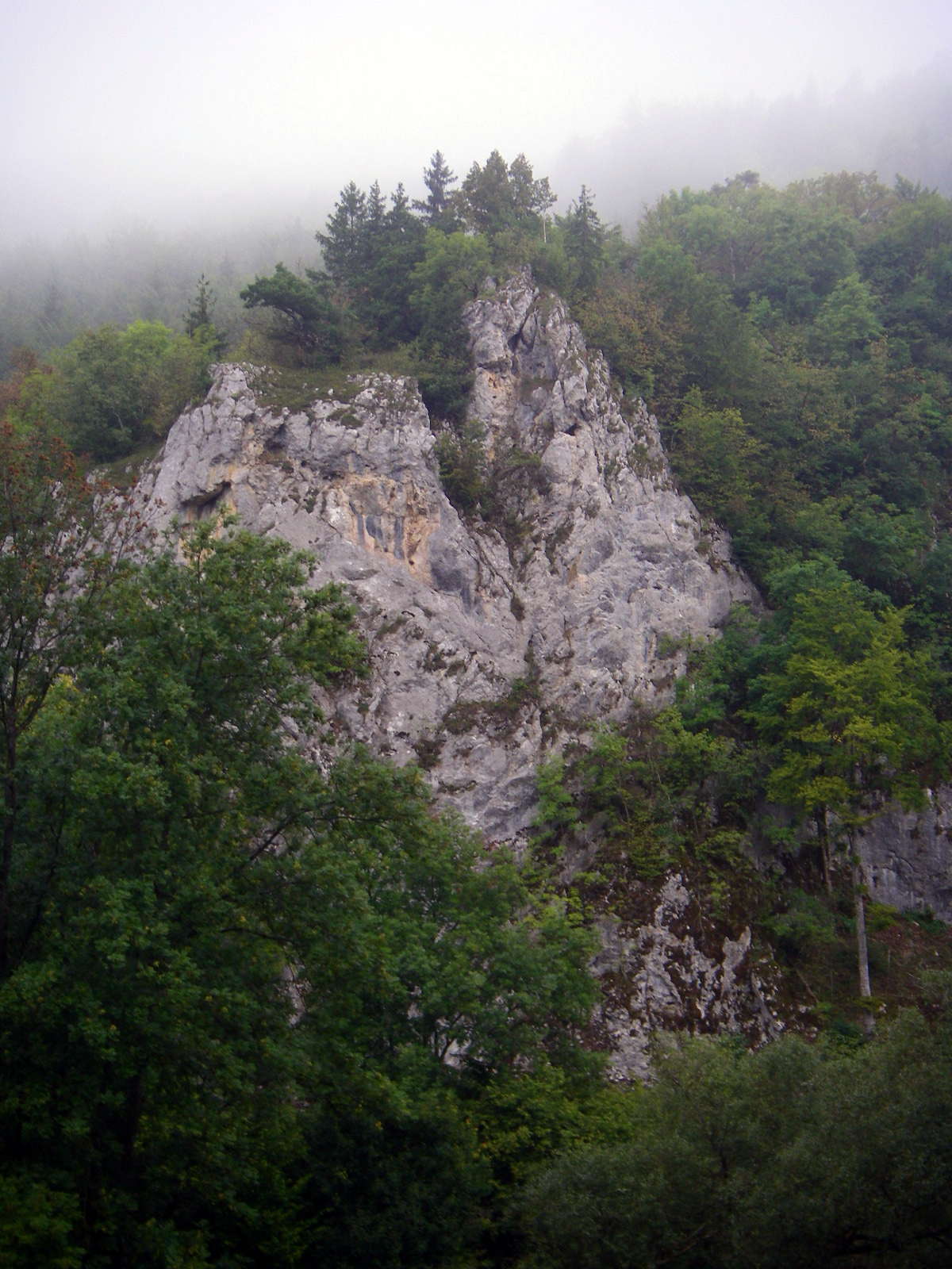
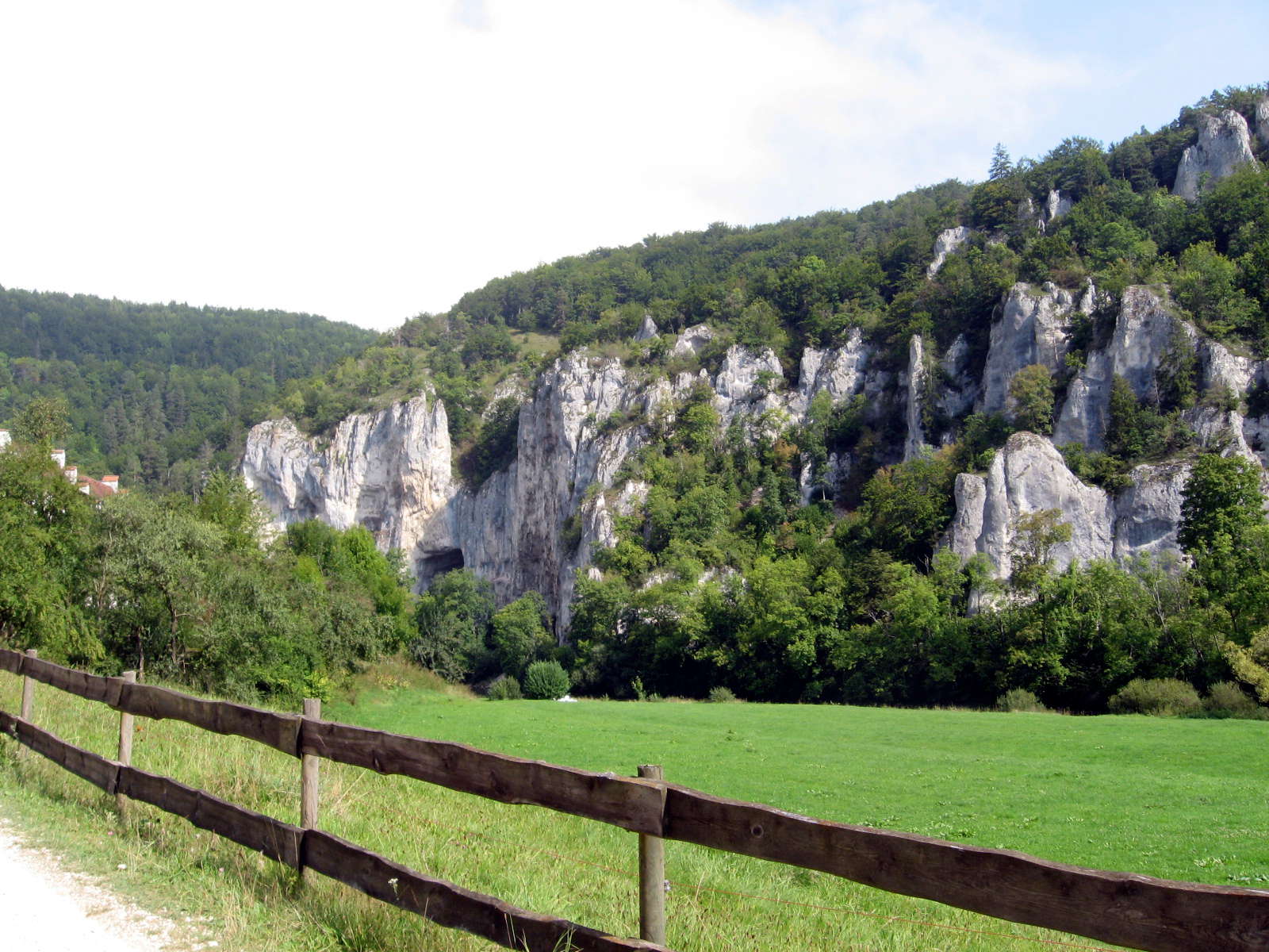
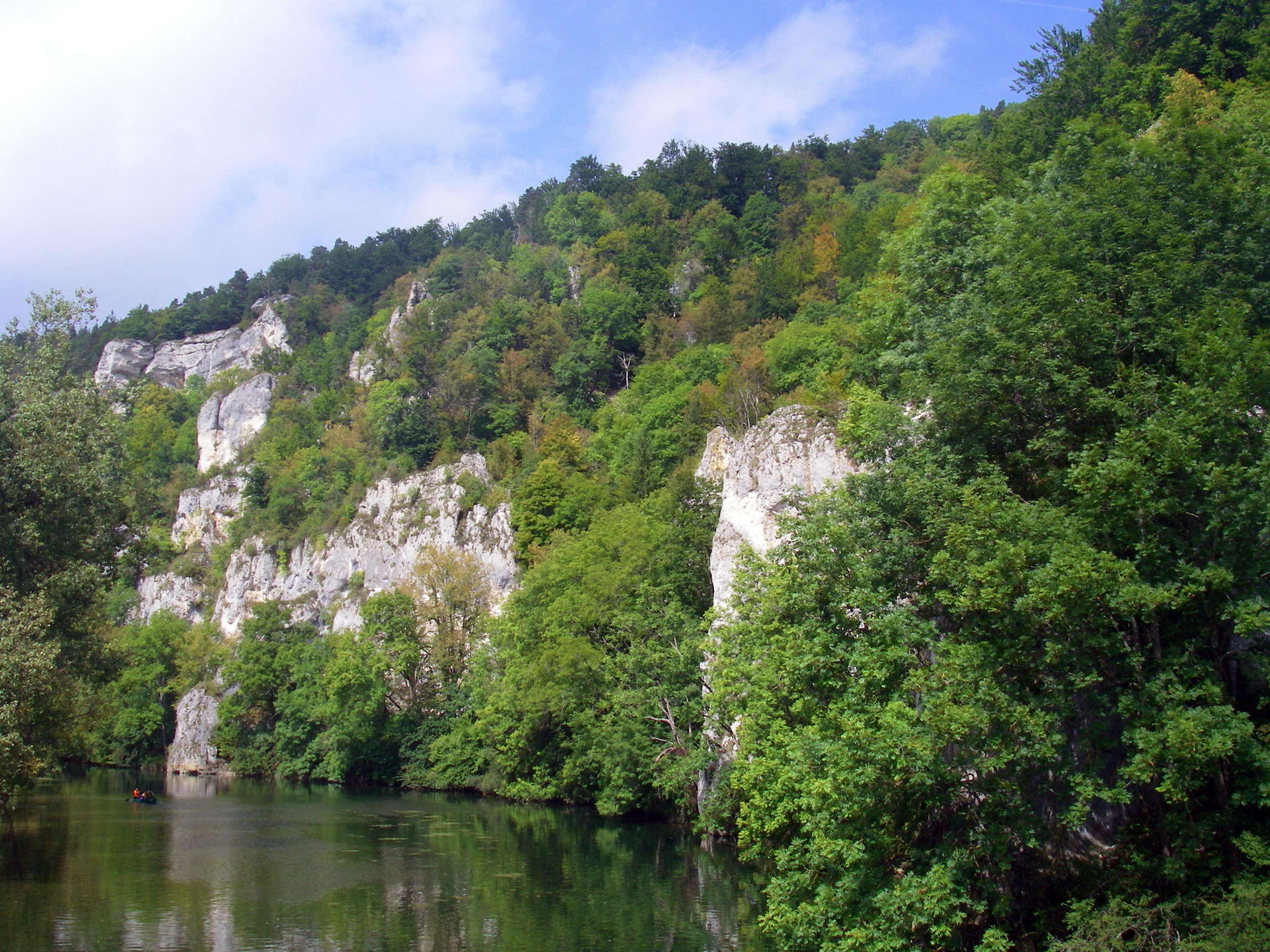
We entered the Donau gorge proper with its massive limestone cliffs and outcrops, cycling on a dirt track through the forest. The going was tough at times with several steep sections where we climbed above the river. Don continued to have problems with his gear shift. The chain would come off whenever he tried to change gear during low revolutions. He learnt to change before going up the hill which is different to our bikes back home which have excellent gear shifts.
We rode through cool forests and up and down the gravelly riverbank. Occasionally we would come across a fish ladder in the stream made of rocks to enable fish to get over the regular weirs put across the river. There were fewer towns along this section - 11 kms to Beuron, 8 to Hausen, then Thiergarten, Gutenstein and Inzighofen which were closer to each other.
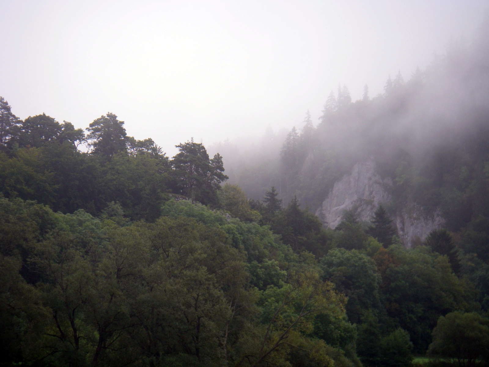
Morning mist on the highlands around Fridingen, though thankfully the rain had stopped.
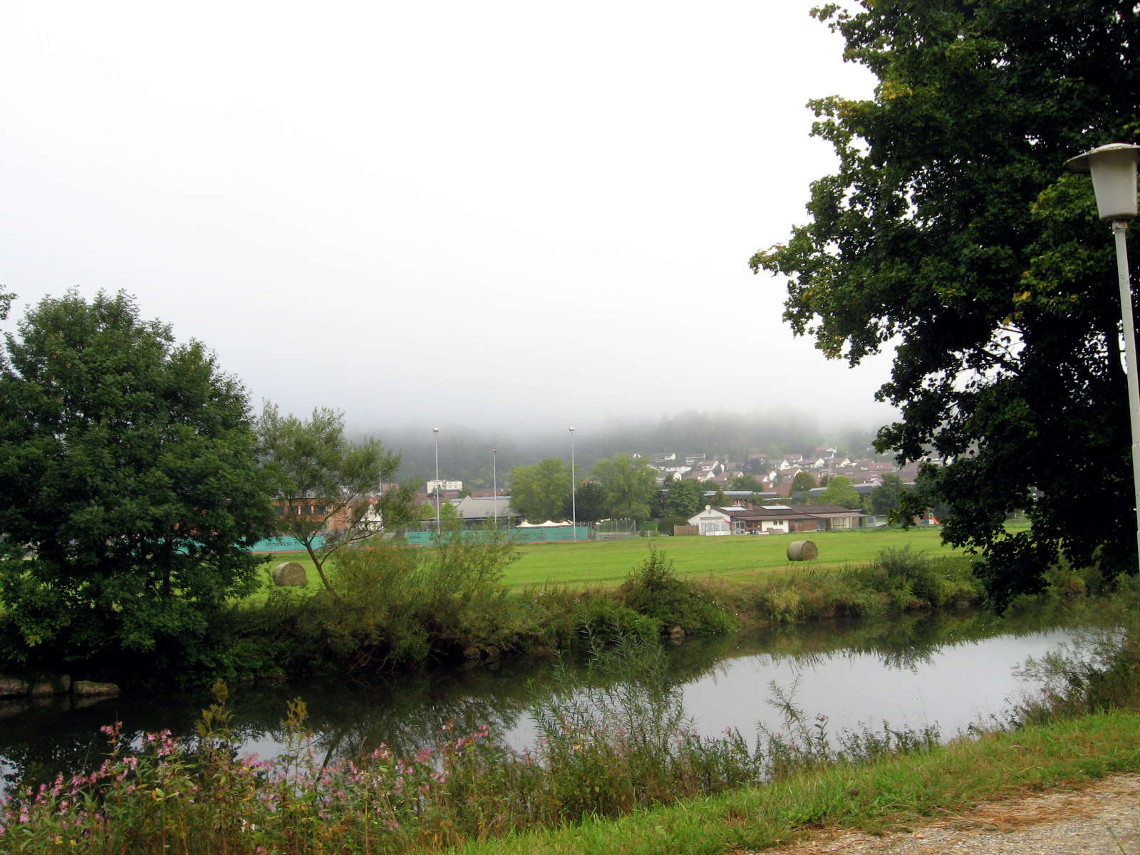
The Radweg crossed and recrossed the Donau.
Photo: Don & Maria Hitchcock 2nd September 2008
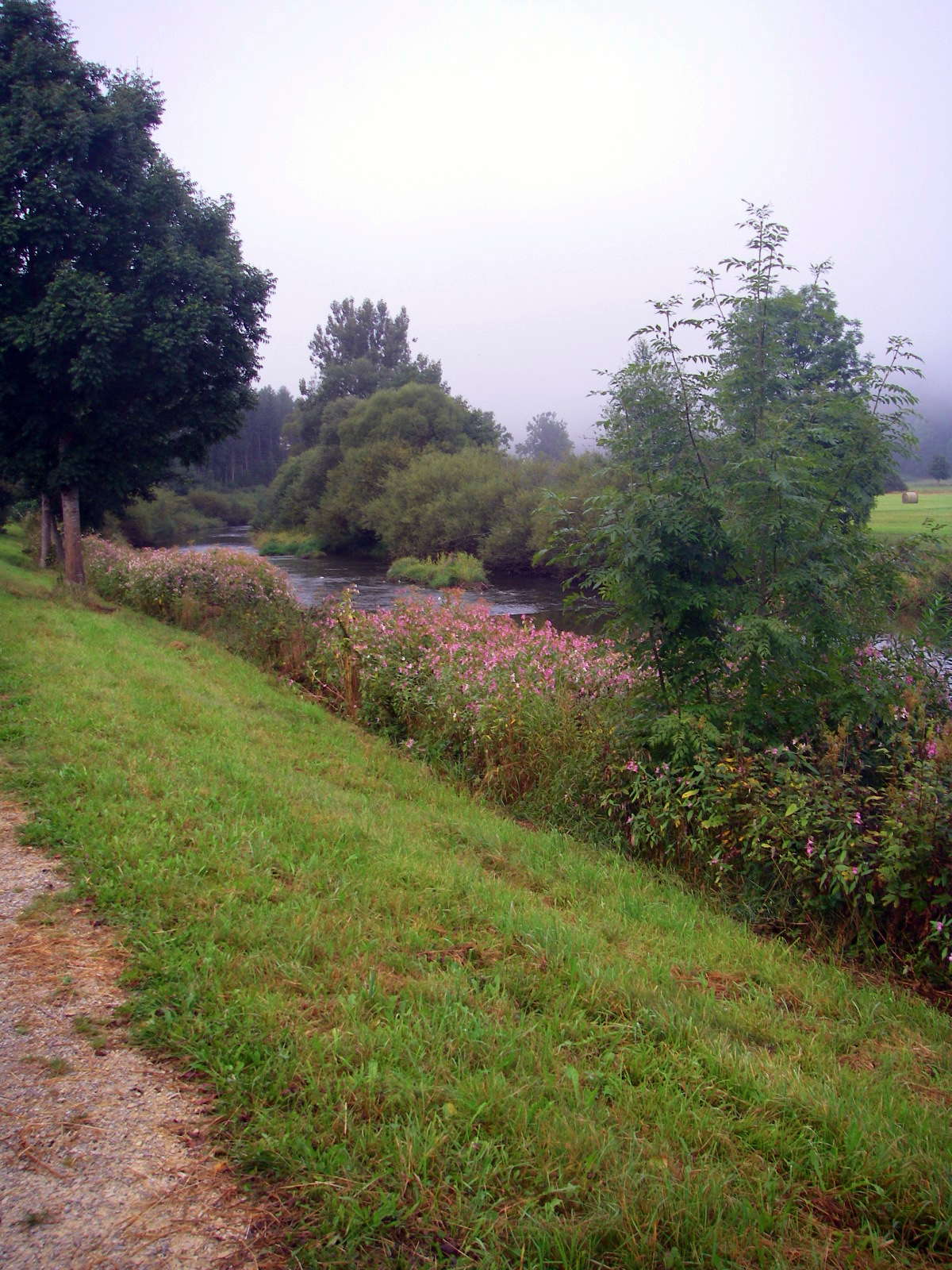
Fifteen minutes after starting, the Radweg was following the Danube, which at this point was shallow and fast flowing, with vegetated islands here and there.
Photo: Don & Maria Hitchcock 2nd September 2008
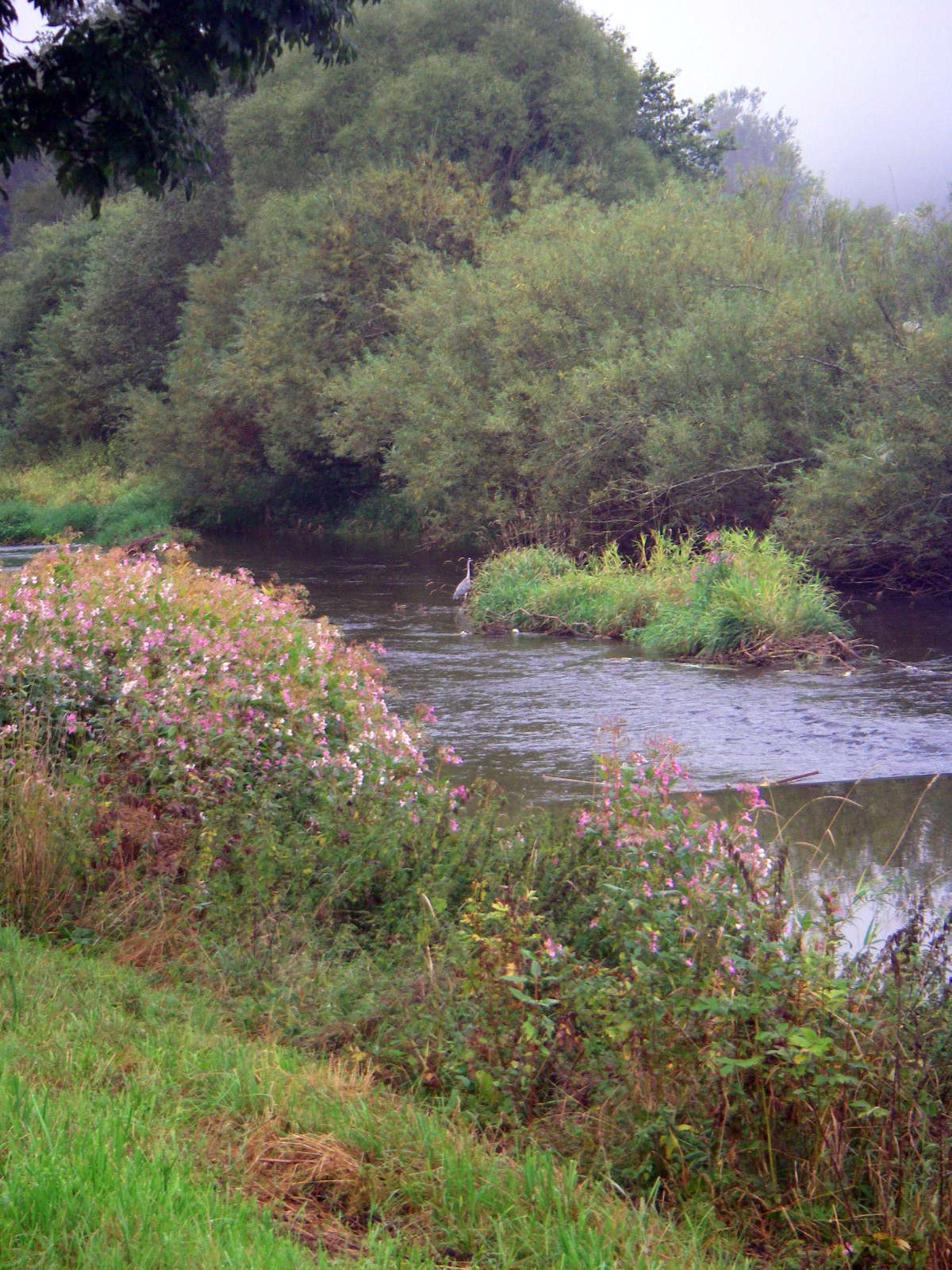
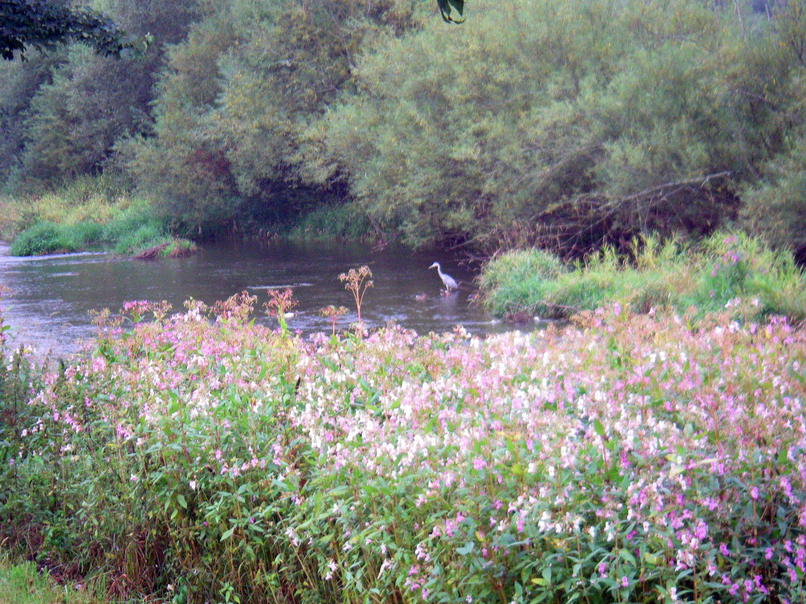
Suddenly in the early morning mist I saw what I thought at first was a White Faced Heron, but this was a much larger bird, a Grey Heron.
The Grey Heron (Ardea cinerea ), is a wading bird of the heron family Ardeidae, native throughout temperate Europe and Asia and also parts of Africa. It is resident in the milder south and west, but many birds retreat in winter from the ice in colder regions. It has become common in summer even inside the Arctic circle along the Norwegian coast.
It is a large bird, standing up to 100 cm (39 in) tall and measuring 84–102 cm (33–40 in) long with a 155–195 cm (61–77 in) wingspan. The body weight can range from 1.02–2.08 kg (2.2–4.6 lb). Its plumage is largely grey above, and off-white below. Adults have a white head with a broad black supercilium and slender crest, while immatures have a dull grey head. It has a powerful, pinkish-yellow bill, which is brighter in breeding adults.
It has a slow flight, with its long neck retracted (S-shaped). This is characteristic of herons and bitterns, and distinguishes them from storks, cranes and spoonbills, which extend their necks. The call is a loud croaking "fraaank".
Photo: Don & Maria Hitchcock 2nd September 2008
Text: Adapted from Wikipedia
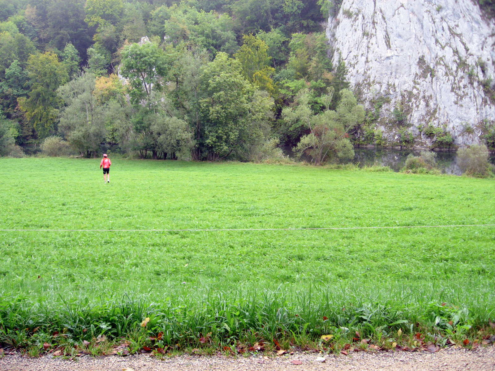
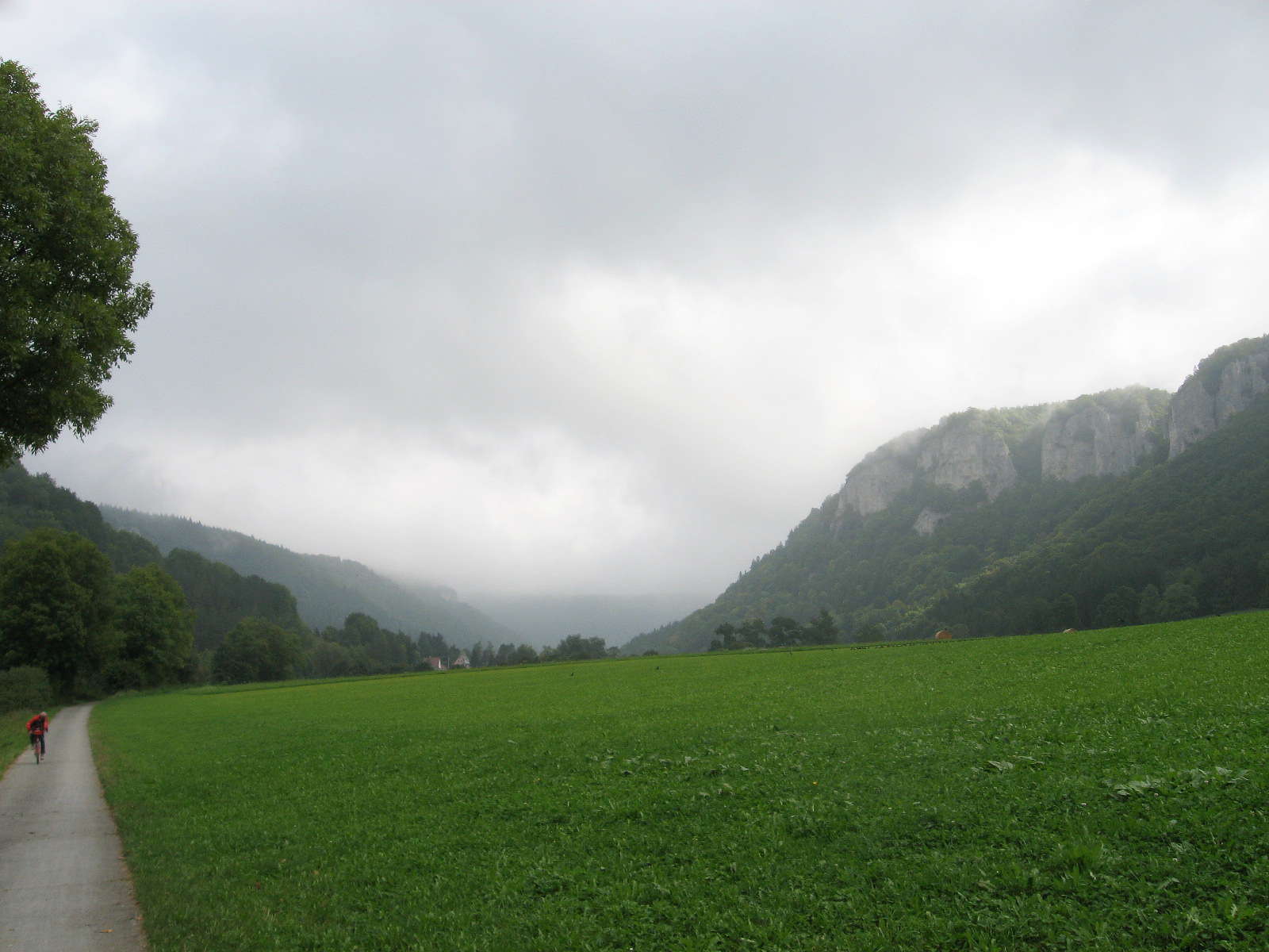
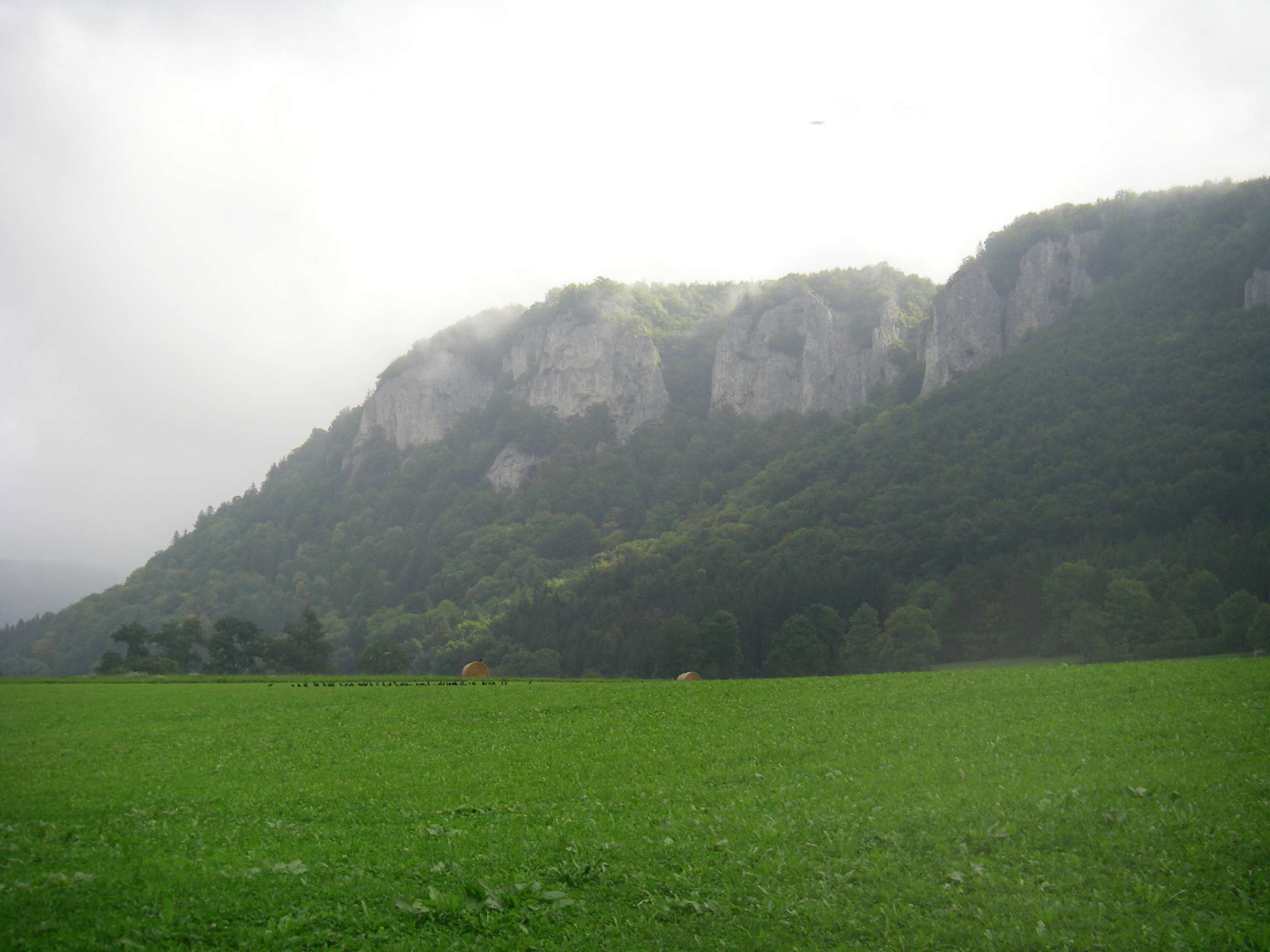
The cliffs began to close in again, though there always seemed to be iridescent green grass, a colour you never see in Australia, on the floor of the Donautal.
Photo: Don & Maria Hitchcock 2nd September 2008
The Donautal quickly became narrower, with steep cliffs. However there was always, at this stage, beautiful green grass in the bottom of the valley.
Photo: Don & Maria Hitchcock 2nd September 2008
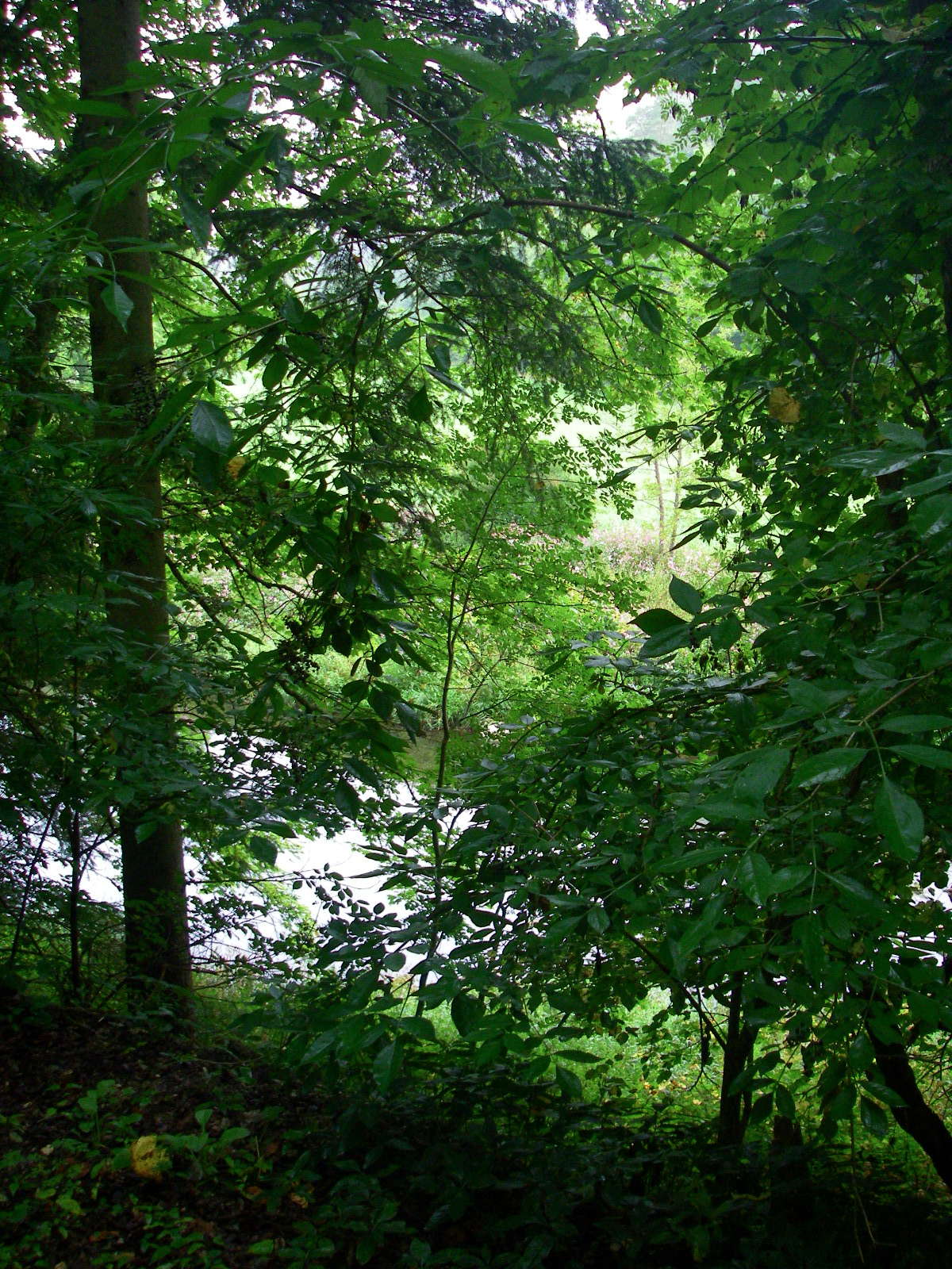
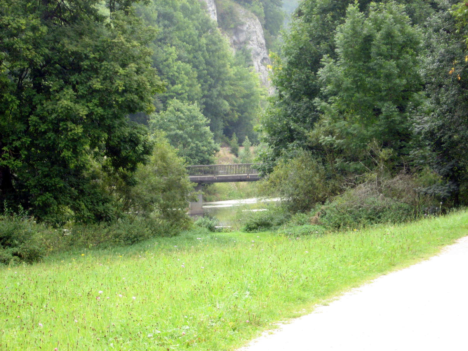
We were often in forest, with the Donau appearing briefly between the trees. It was magic.
Photo: Don & Maria Hitchcock 2nd September 2008
I couldn't help going over to the Donau to get a closer look at the beautiful cliffs reflected in the river.
Photo: Don & Maria Hitchcock 2nd September 2008
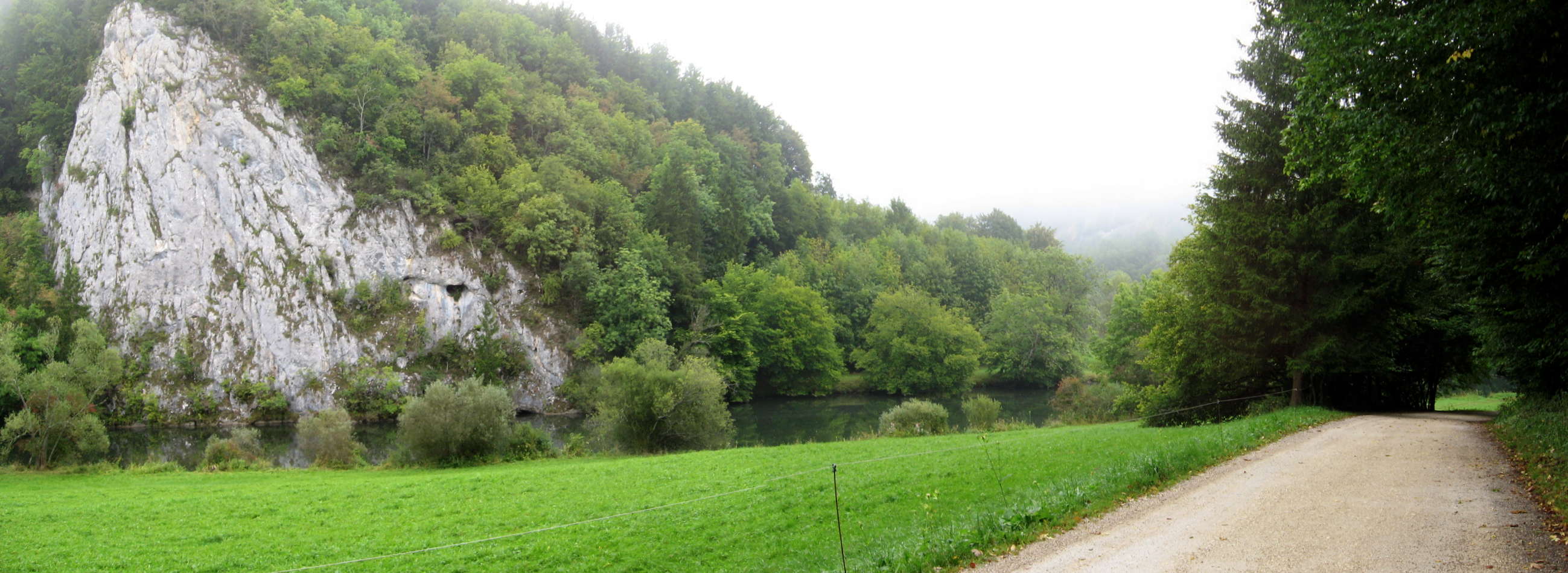
Panorama of the bottom of the Donautal, a wonderful place.
Photo: Don & Maria Hitchcock 2nd September 2008
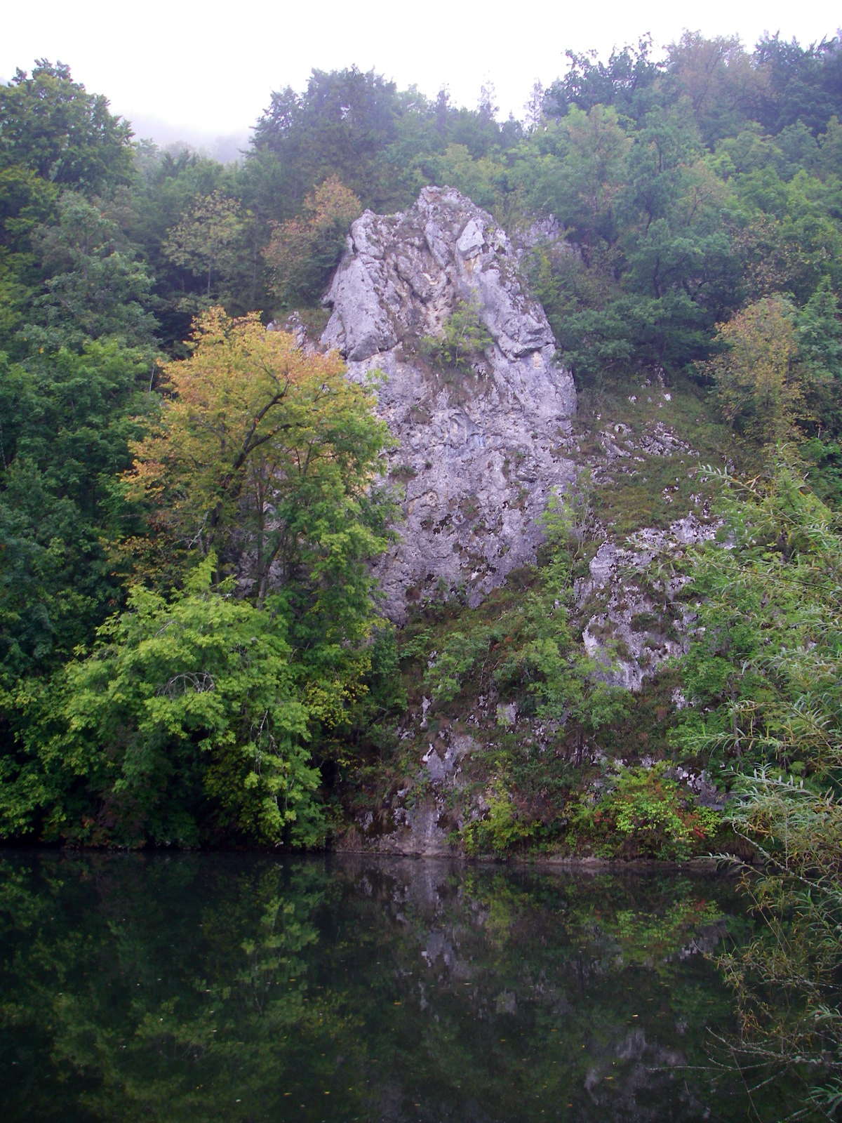
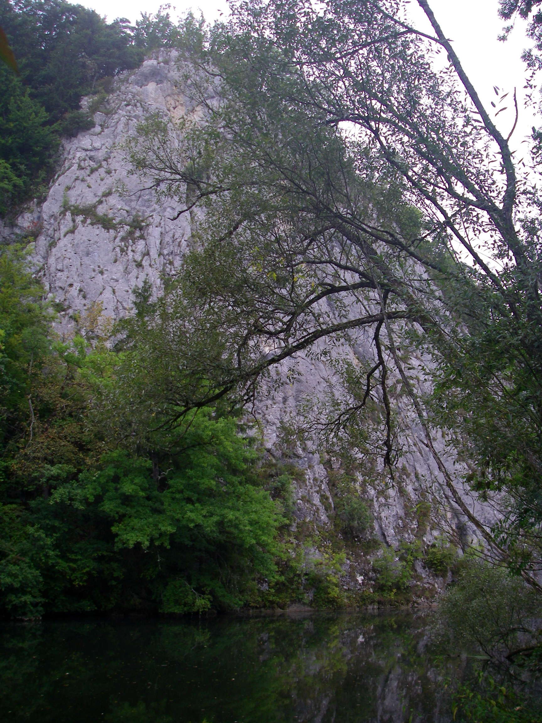
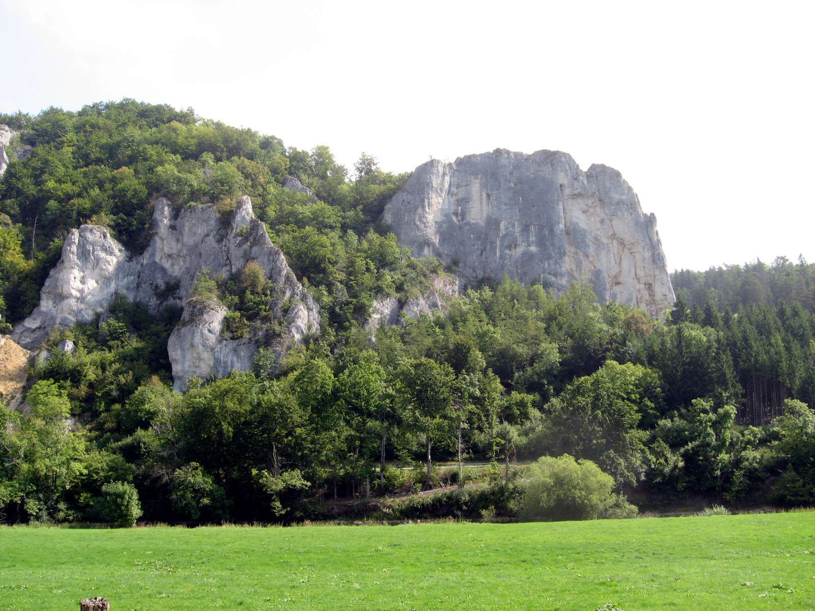
The limestone cliffs, sometimes reflected in the water of the Donau, very deep and slow moving at this point, are spectacular.
They are well known to rock climbers, with some routes being very difficult.
Photo: Don & Maria Hitchcock 2nd September 2008
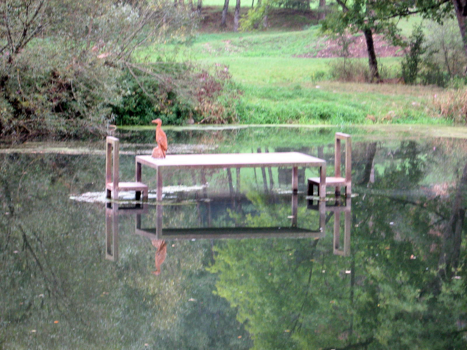
Another quirky art installation in the middle of the river!
Photo: Don & Maria Hitchcock 2nd September 2008
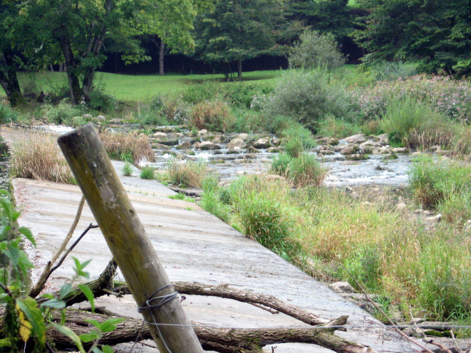
This rock fish ladder was on the true right of the river, with a weir to hold back the water and provide a steady supply of water even in dry conditions.
In high water periods, the river would overflow the slanted face of the weir safely.
Photo: Don & Maria Hitchcock 2nd September 2008
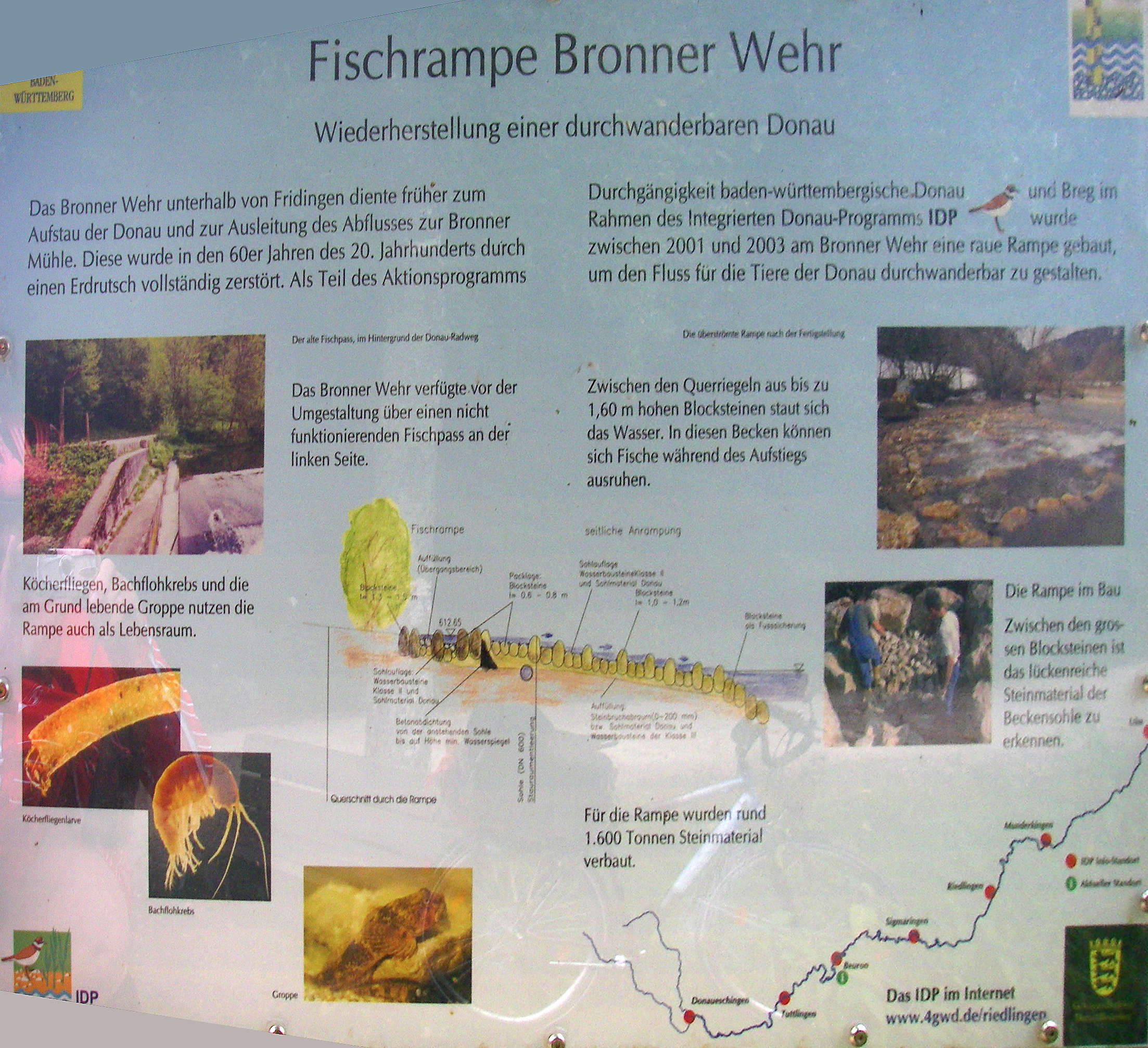
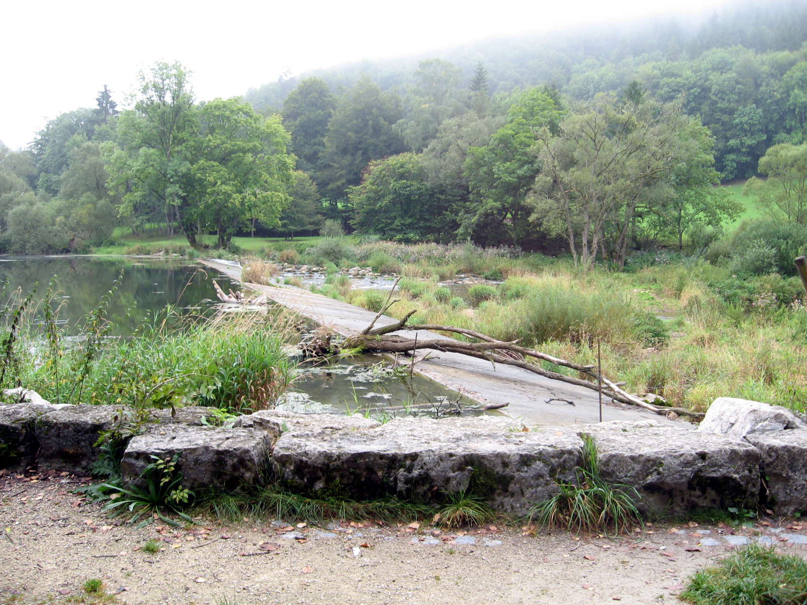
Restoration of the Bronner fishramp for migratory fish in the Danube.
The Bronner weir below Fridingen formerly served to dam the Danube and allow diversion of water to the Bronner mill. In the 1960s this was completely destroyed by a landslide. As part of the works program in Baden-Württemberg for the Danube, between 2001 and 2003 at the Bronner weir a ramp was built to allow migratory animals of the Danube to go up and down the river safely.
The old fish-pass behind the Danube Cycle Path is pictured.
Caddis flies, freshwater shrimp, and the bottom living bullhead use the ramp as well, for habitat. The Groppe, or bullhead ( Cottus gobio ), is a small freshwater fish occurring in Germany. The Groppe is one of the little-known endangered species in Germany.
The overflowing ramp after completion is pictured.
The stone block cross walls up to 160 cm high back up the water, forming basins which fish can rest in during the ascent.
Construction of the ramp is pictured. Between the large blocks of stone the broad continuous stone material of the basin floor is visible.
About 1600 tonnes of stone were used in the construction of the ramp.
Photo: Don & Maria Hitchcock 2nd September 2008
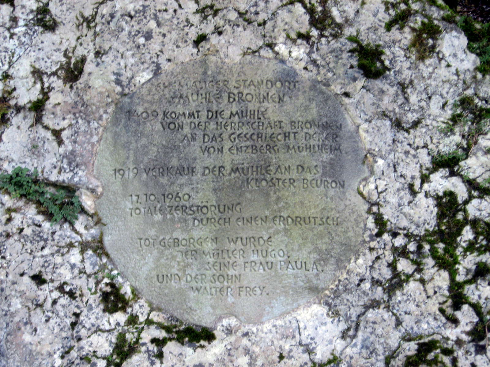
We came upon this plaque beside the road.
In former times the Bronnen Mill stood here .
In 1409 the mill was built by the Bronnen family whose forbears came from Enzberg Mühlheim.
In 1919 the mill was sold to the Beuron monastery
On 10.17.1960 a landslide totally destroyed the mill.
Buried in the landslide was the miller Hugo, his wife Paula, and son Walter Frey.
Photo: Don & Maria Hitchcock 2nd September 2008
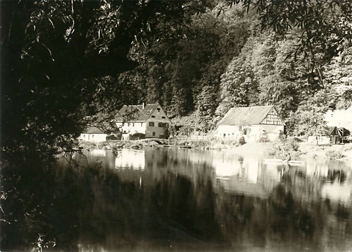
Photo: The Bronner mill before the landslide.
In October 1960, the hillside, to a width of 200 metres and a height of 100 metres, collapsed on the Bronner mill.
The Bronner mill had been here for two hundred years, about 600 metres from the Hunting Lodge. It was built in 1731-1734 by the Lords of Enzberg (a German noble family based in Mülheim an der Donau) who sold the mill in 1919 to the Beuron monastery. Living in the mill at the time of the accident were 48 year old Hugo Frey, his wife Paula, 47, born in Stetten near Hechingen Bäuerle, and the three children of the millers: 16 year old Waltrad, who worked at Gregoriushaus in Beuron and did not live at the mill often, twelve year old Walter and six year old Ingeborg.
The only witness of the accident was Resi Stehle, landlady at the Bronnen Hunting Lodge. At three in the morning she heard violent thunder and saw a flash across the valley, which she thought was a late Autumn storm. It was not until 0745 that her husband, Forest Ranger Charles Karl Stehle, came across the gruesome scene. The mill was a pile of rubble.
He immediately notified the Fridingen Mayor, Hubert Schiebel, who alerted the emergency services. By the time the Fridingen Fire Department Chief Xavier Baum and other helpers arrived at the scene of the accident, many hours had passed. At first they tried to tackle the pile of debris, but more came down from above, threatening to bury the workers.
Large machinery could not be used since that would have endangered the people beneath the rubble. The critical advice came from a Frey family relative, Helmut Wachter. He knew the layout of the house, and could show the rescuers where the bedrooms were. Everyone was overjoyed when they heard a whimper from the daughter of the Frey family coming from the pile of debris.
Half an hour later, Walter was found. He had been crushed in his bed by a wall fallen on him. Paula was found dead in the back bedroom, and no hope was held for her husband Karl. The search for the miller continued until his body was found in the living room beside the fireplace.
With great sympathy Hugo, Paula and Walter Frey were buried in the Beuron cemetery. The two surviving children, Waltraud and Ingeborg, went to live with relatives in Switzerland.
In January 1961, the Freiburg geologist Dr Schädel gave an opinion on the landslide, which stated 'The slope was probably moving for a long time. The dense vegetation and gravel on the mountain shrouded this process. In 1957 the old barn next to the mill had to be demolished, because the hillside was crumbling.
In a report dating from 1952 reference was made to the slipping of the upper soil layers in the watershed, above the Bronner mill, where cracks a few centimetres wide appeared. The landslide at the Bronner mill was caused most likely by marl-rich rocks, which were on outwardly inclined bedding planes. The release was due to the strong penetration of water, a consequence of the high rainfall of late 1960. The ruins of the mill buildings were moved 12 to 15 metres towards the Danube, while the road was pushed into the house.'
Photo: HW, http://www.schwaebische.de/region/sigmaringen-tuttlingen/tuttlingen/rund-um-tuttlingen_artikel,-Erinnerungen-an-Muehlen-Unglueck-werden-wach-_arid,4174902.html
Text: © Marc Hamma, http://www.schwaebische.de/region/sigmaringen-tuttlingen/tuttlingen/rund-um-tuttlingen_artikel,-Erinnerungen-an-Muehlen-Unglueck-werden-wach-_arid,4174902.html
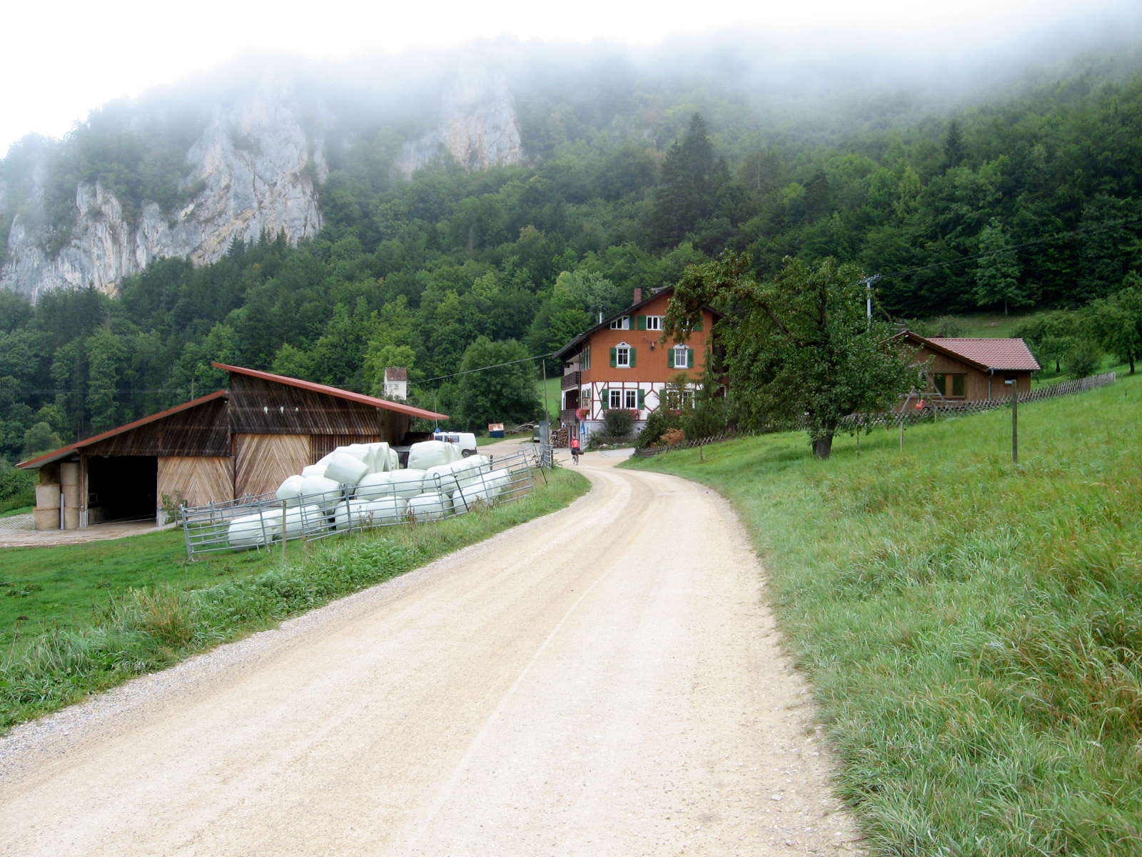
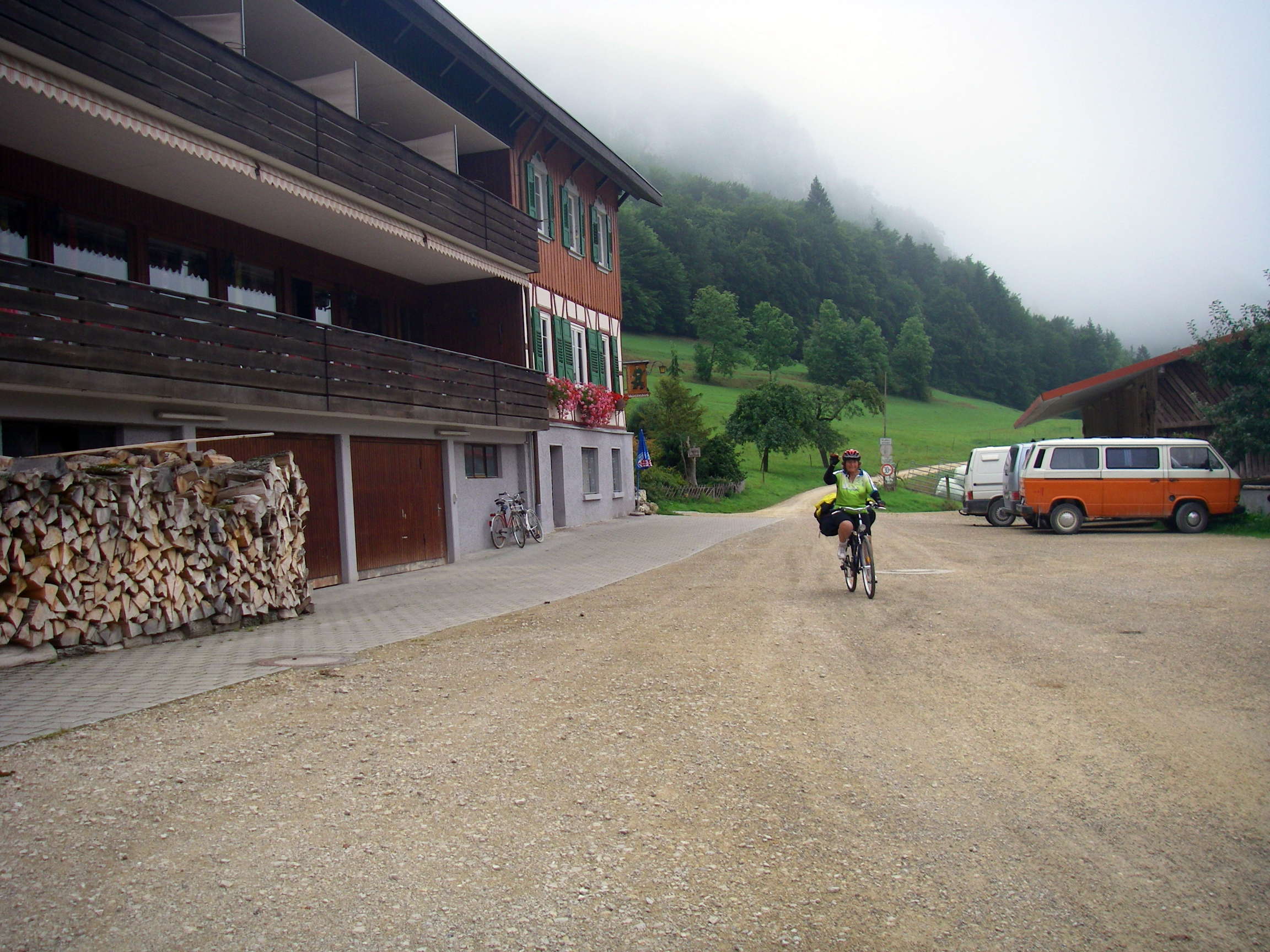
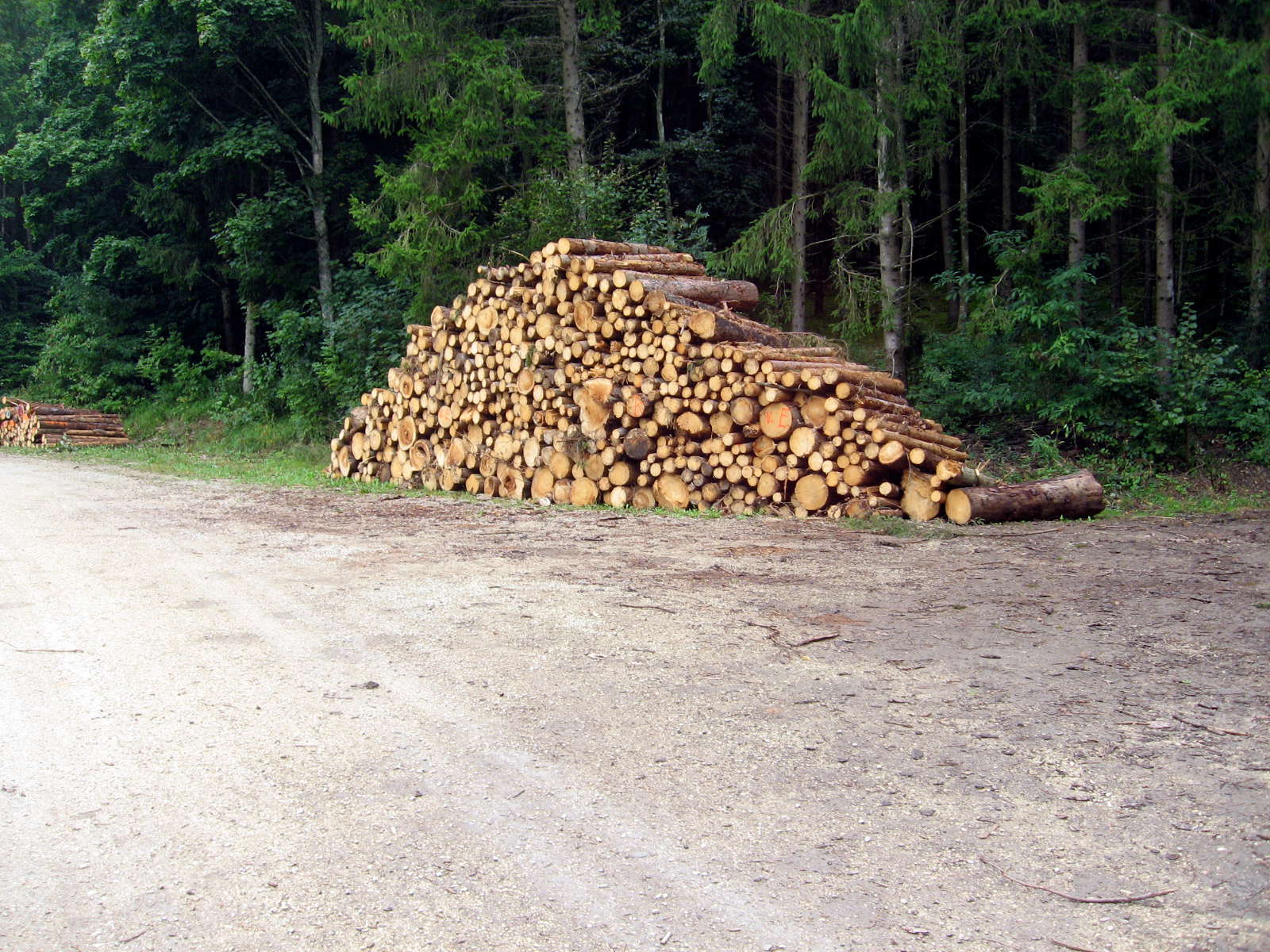
The Radweg passes through this parking area for a large block of apartments, as the cliffs retreat for a while.
Neatly stacked wood for winter fires can be seen below the balcony. This is a very common sight in Germany and Austria, and I was envious of the vertical walls of good wood with a straight grain, so unlike Australian firewood, which is always bent and of many different thicknesses and types.
This seemed to be all one species of same-aged trees from thinnings of planted coniferous forests, long baulks of wood split by machine.
Photo: Don & Maria Hitchcock 2nd September 2008
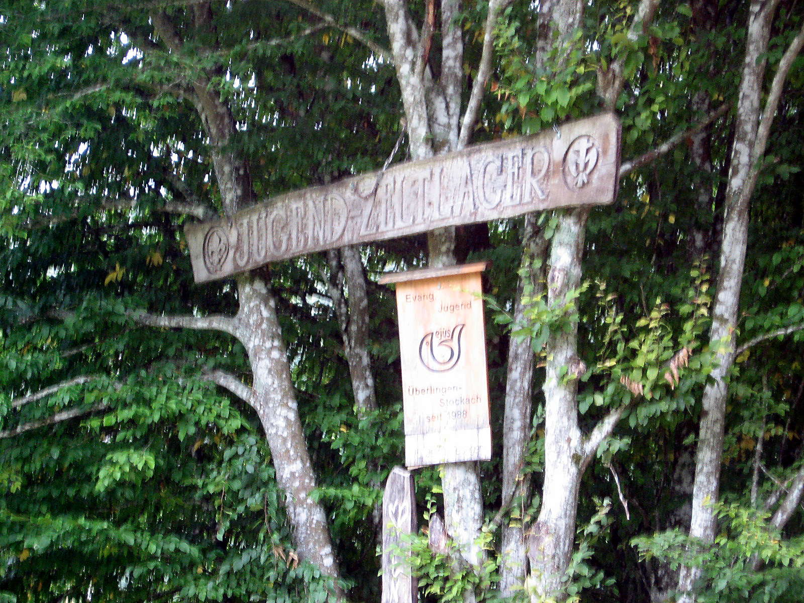
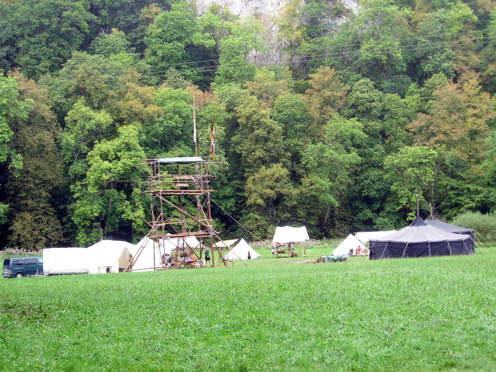
The Überlingen - Stockach (on Lake Constance or the Bodensee) group of Protestant youth tent campers have used this site since 1988.
Photo: Don & Maria Hitchcock 2nd September 2008
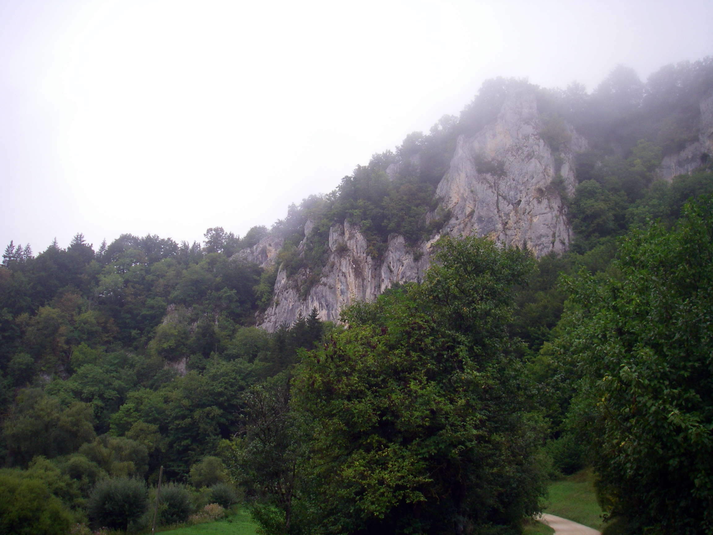
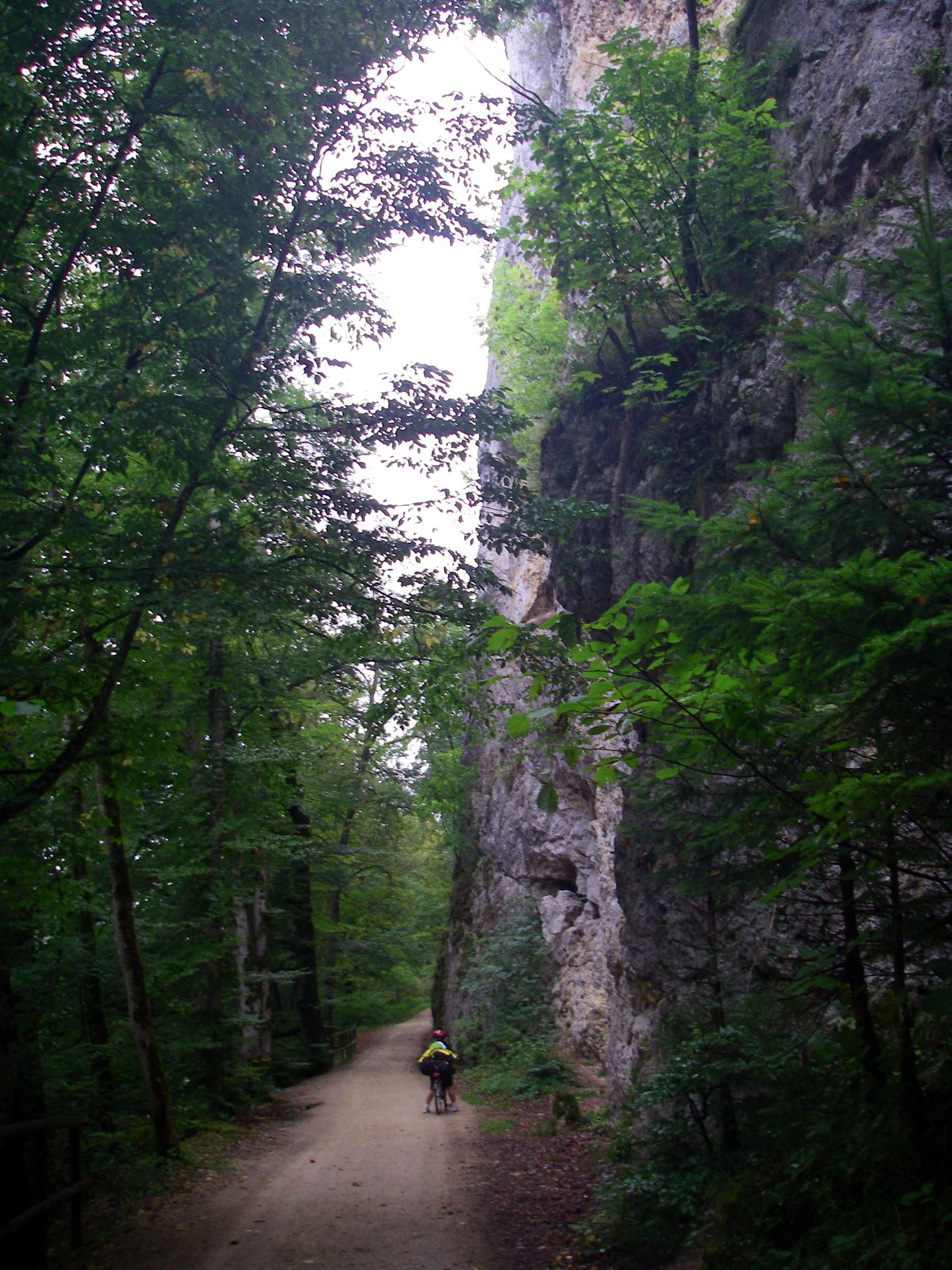
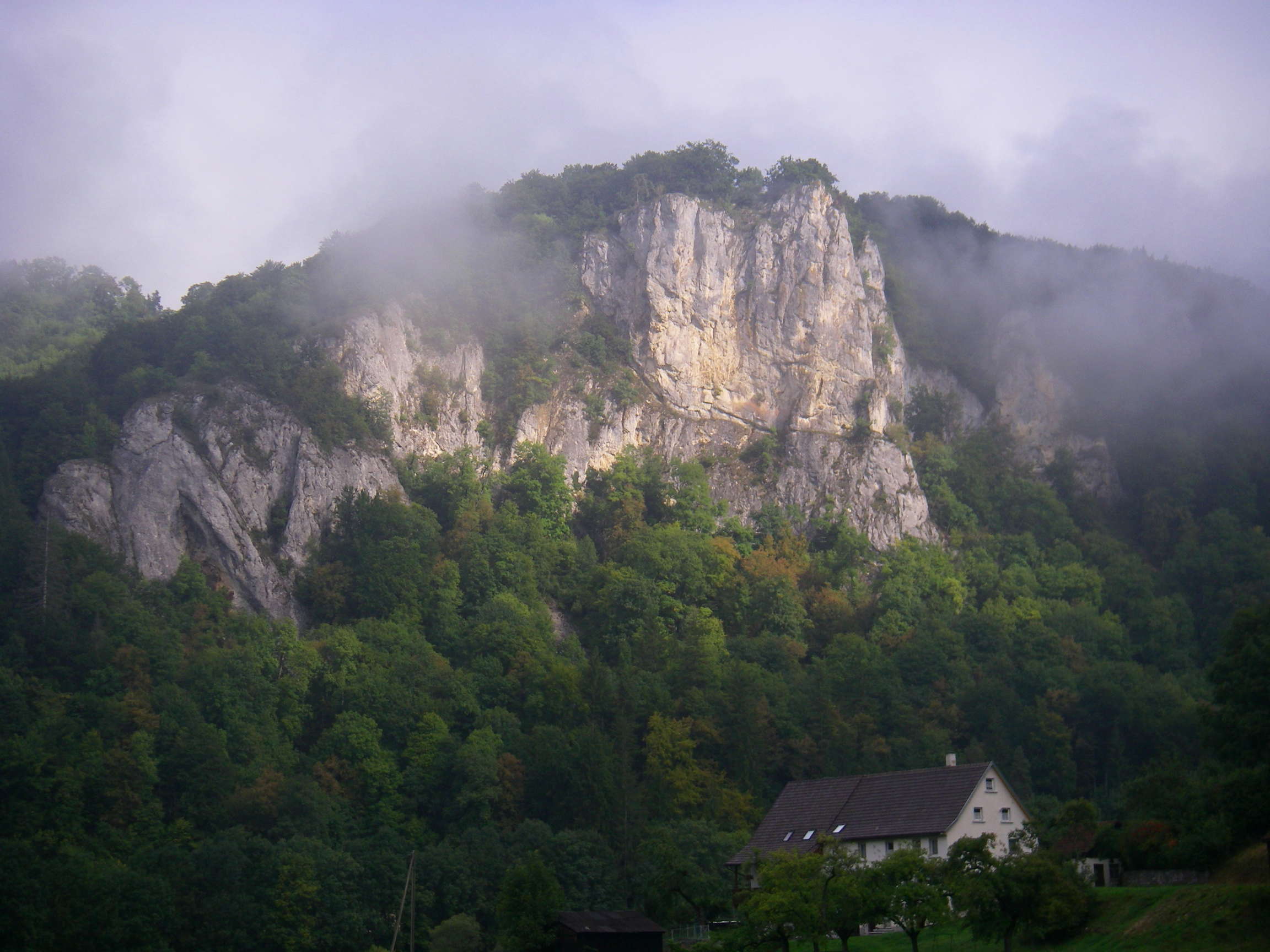
The Donautal became deeper at this point, with very high cliffs.
Photo: Don & Maria Hitchcock 2nd September 2008
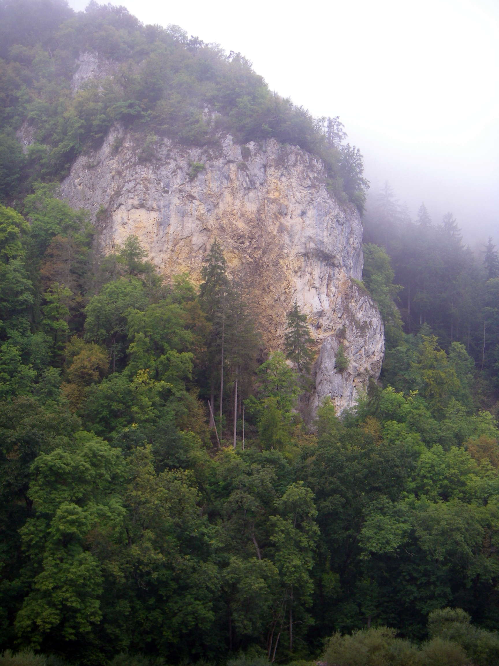
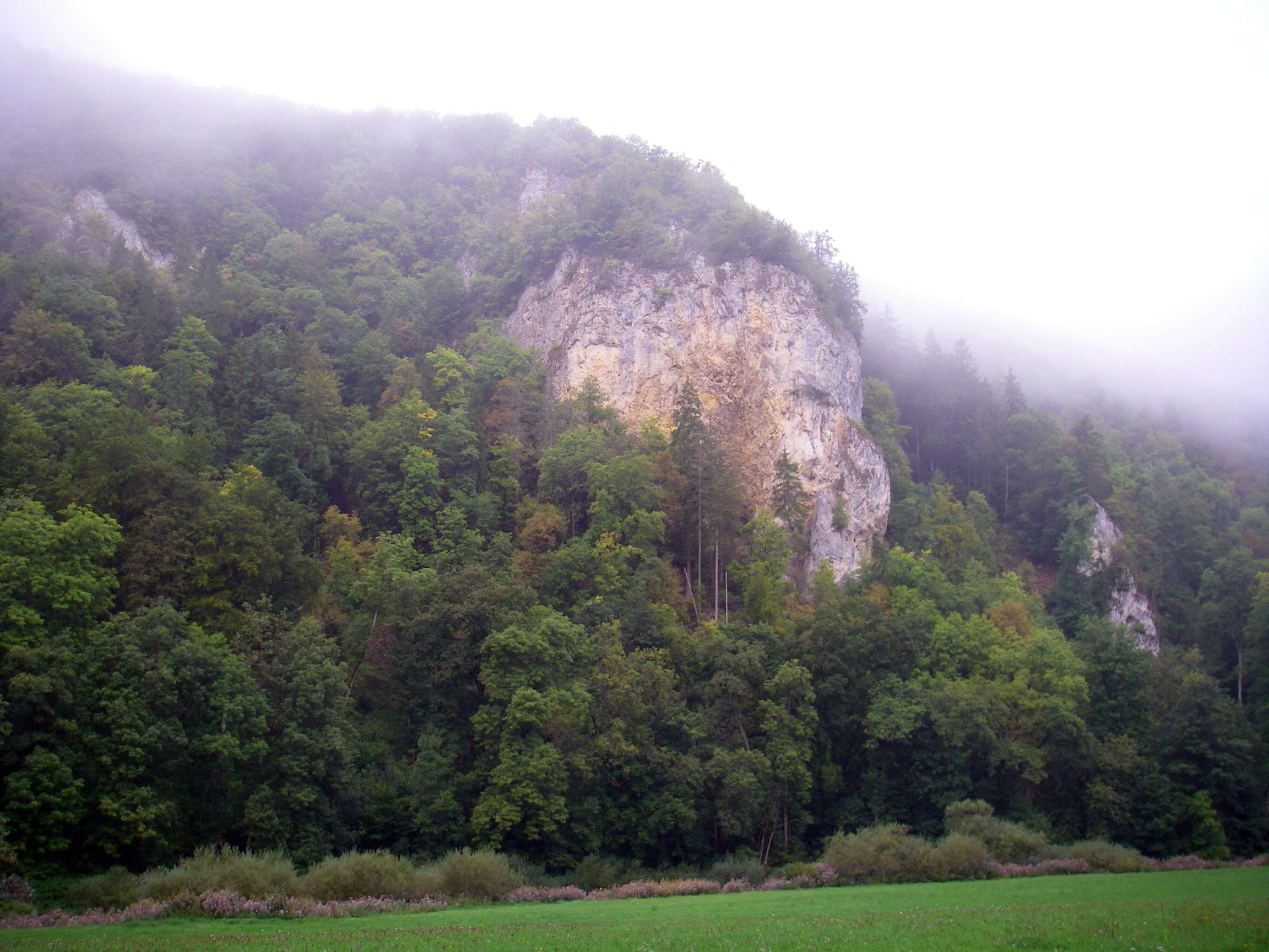
The cliffs would be wonderful for rock climbers.
Photo: Don & Maria Hitchcock 2nd September 2008
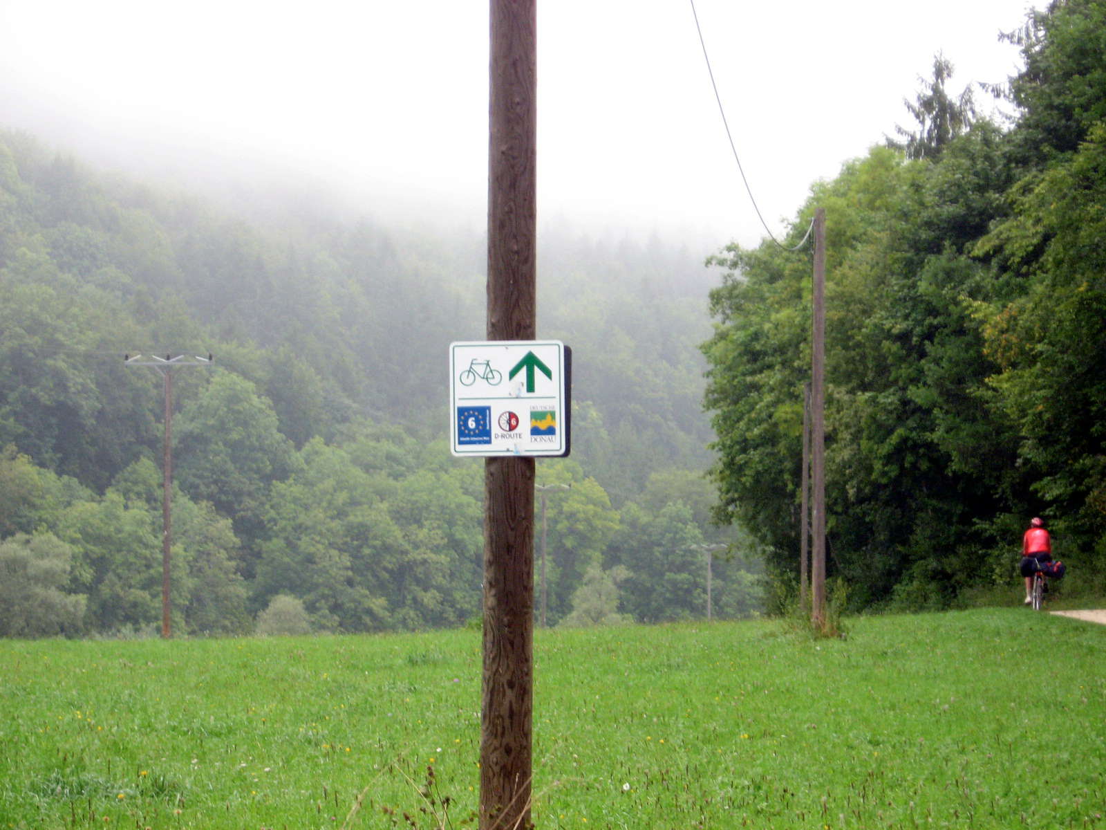
It was always reassuring to see the Donauweg signs!
I hadn't realised it until we started on the Radweg, but there are many cycling routes which crisscross Europe, and the Donauweg is just one of them. In major cities there are a large number of different symbols for the various routes as they all come together then disperse in different directions again.
Photo: Don & Maria Hitchcock 2nd September 2008
These stacks of timber were of quite long billets of wood, all cut to exactly the same length.
I could never work out whether they were used at that size in a very large firebox, or if they were subsequently cut up to more manageable lengths later on for use in a home fireplace.
Photo: Don & Maria Hitchcock 2nd September 2008
The Radweg passes by a vertical cliff.
Photo: Don & Maria Hitchcock 2nd September 2008
From Maria's Diary:
We bought breadrolls and drinks for lunch in Beuren. It was important to get supplies for the day whever we chanced upon a supermarket or Baekerei rather than searching for one in a village. We had to do that occasionally and we lost a lot of time some days hunting up food. The other problem was where to put supplies.
At first I rode with my backpack on my back but this was uncomfortable for the long haul, so I zipped it onto the back. My pack stayed on the bike more easily with the backpack on as well. We worked something out by dividing up food between us and stuffing it in somewhere but it wasn't all that satisfactory.
We stopped at a lovely Gasthaus near one of the river crossings to have coffee and cake for morning tea. This was to become a tradition for us along the ride.
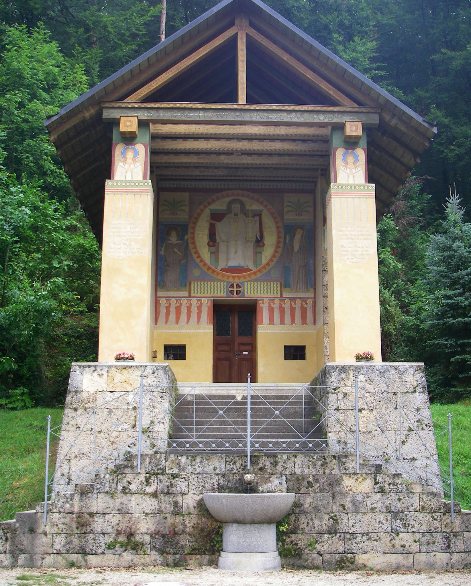
After passing Beuron we found this beautifully built structure protecting a spring. The waters of these springs are said to have great health benefits.
Photo: Don & Maria Hitchcock 2nd September 2008
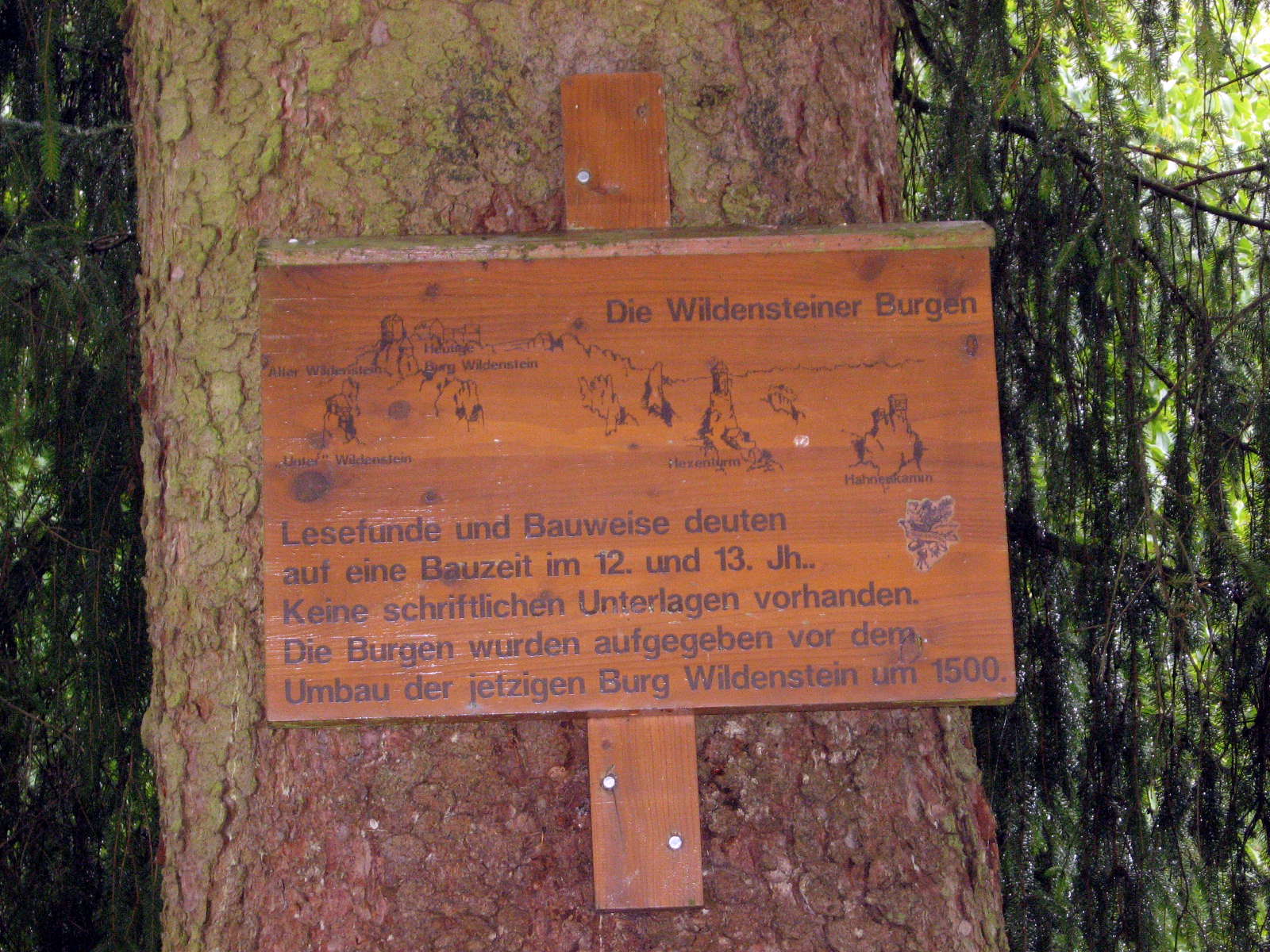
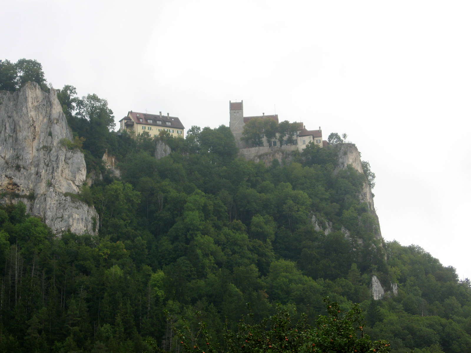
The Wildensteiner Burgen is a castle on top of the cliffs overlooking the valley at this point.
Occasional finds of other structures have been made, from the 12th and 13th centuries, but the castles were abandoned before the reconstruction of the existing castle, Wildensteiner Burgen in 1500.
No written records exist of these structures.
Photo: Don & Maria Hitchcock 2nd September 2008
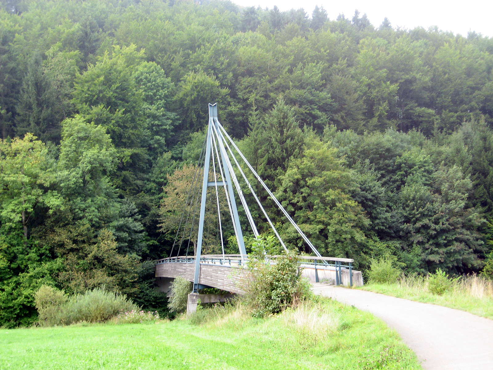
This is a beautifully designed and constructed bridge across the Donau for cyclists and pedestrians.
Photo: Don & Maria Hitchcock 2nd September 2008
This house below the yellow and grey cliff was in a wonderful setting.
Photo: Don & Maria Hitchcock 2nd September 2008
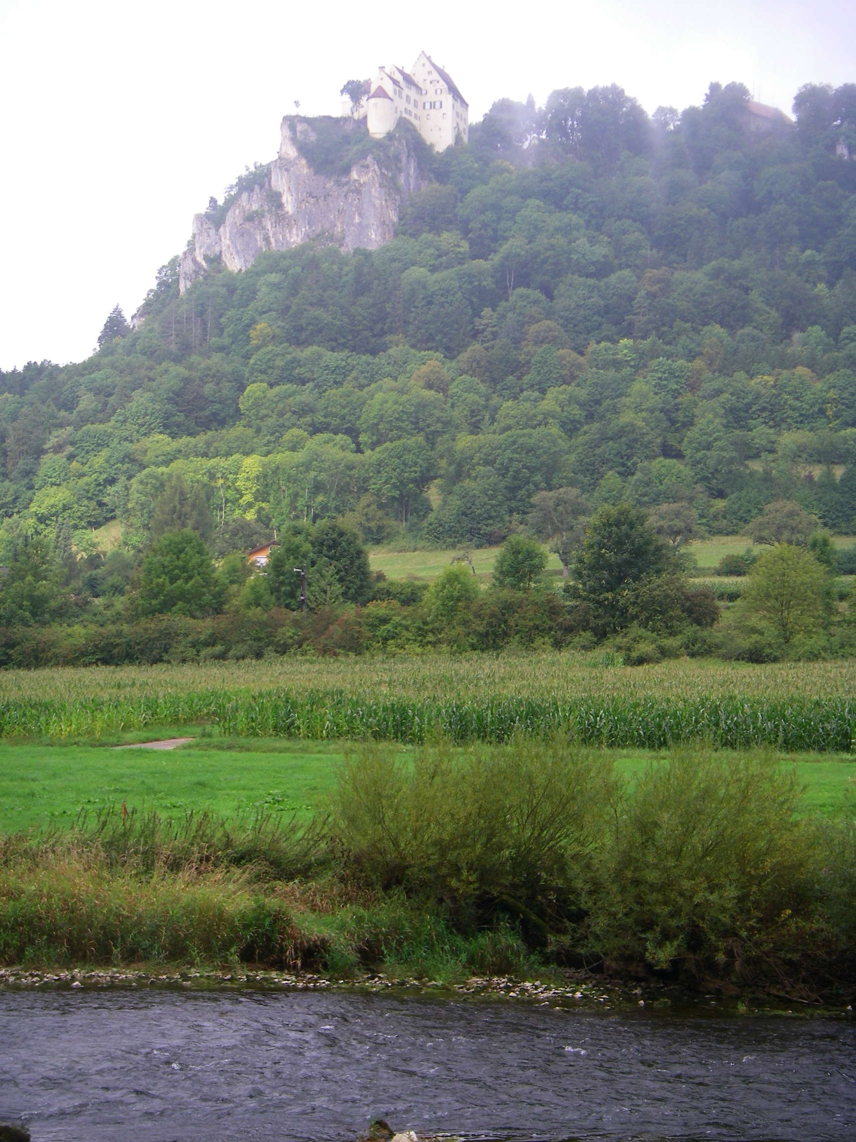
The Donautal was definitely opening up now, with this castle on a cliff some distance away having a magnificent view down the valley.
Photo: Don & Maria Hitchcock 2nd September 2008
A line of black birds on the magnificent pasture, with the ubiquitous round bales of hay in the paddocks, ready to be used in winter as fodder.
Photo: Don & Maria Hitchcock 2nd September 2008
The bridges were becoming steadily more solid, sometimes as here with piers in the centre of the stream, as the Donau increased in width.
Photo: Don & Maria Hitchcock 2nd September 2008
Isolated pillars of limestone appeared in the cliff line, due to differential erosion.
Photo: Don & Maria Hitchcock 2nd September 2008
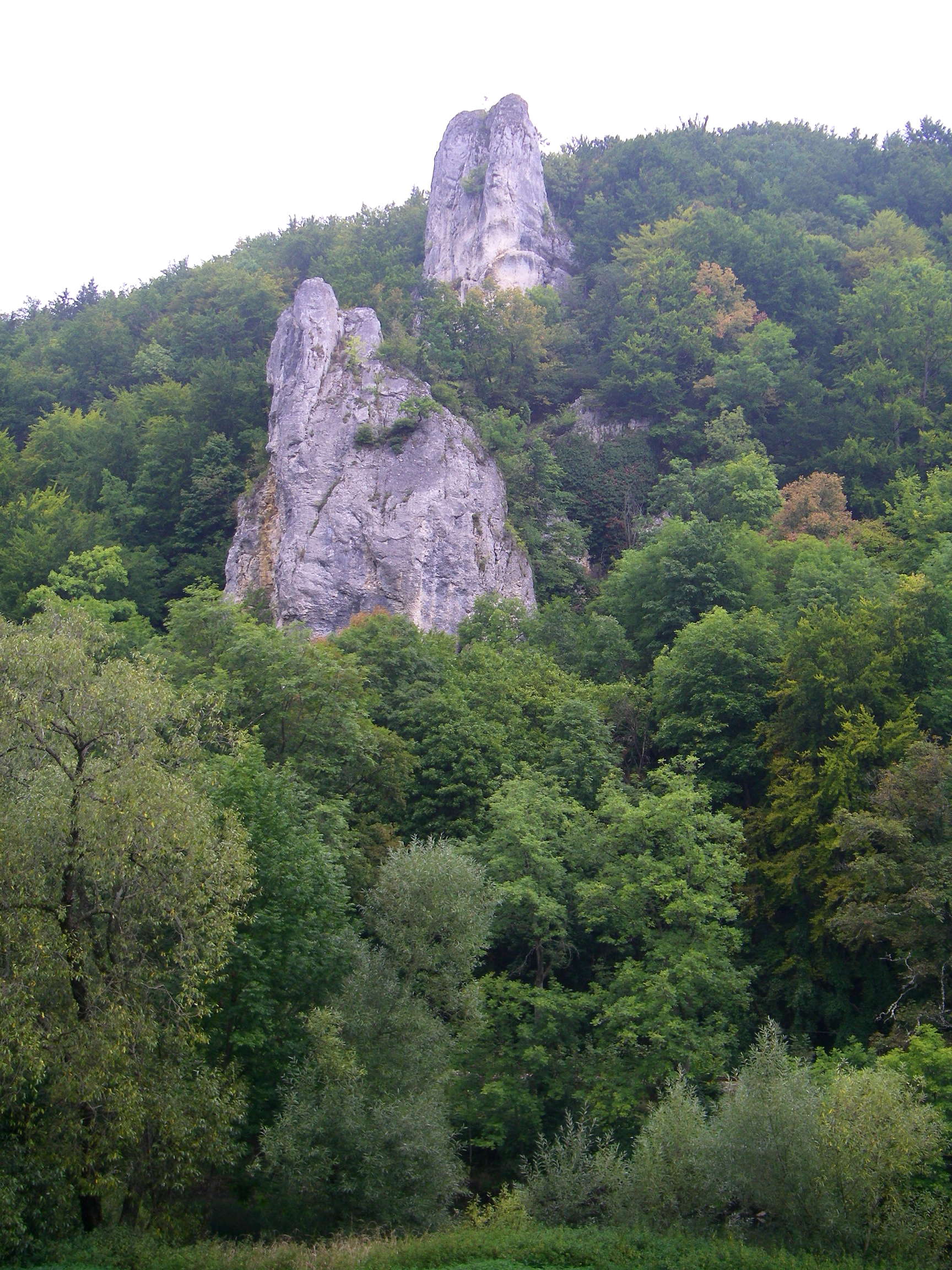
Towers of limestone on the cliff.
Photo: Don & Maria Hitchcock 2nd September 2008
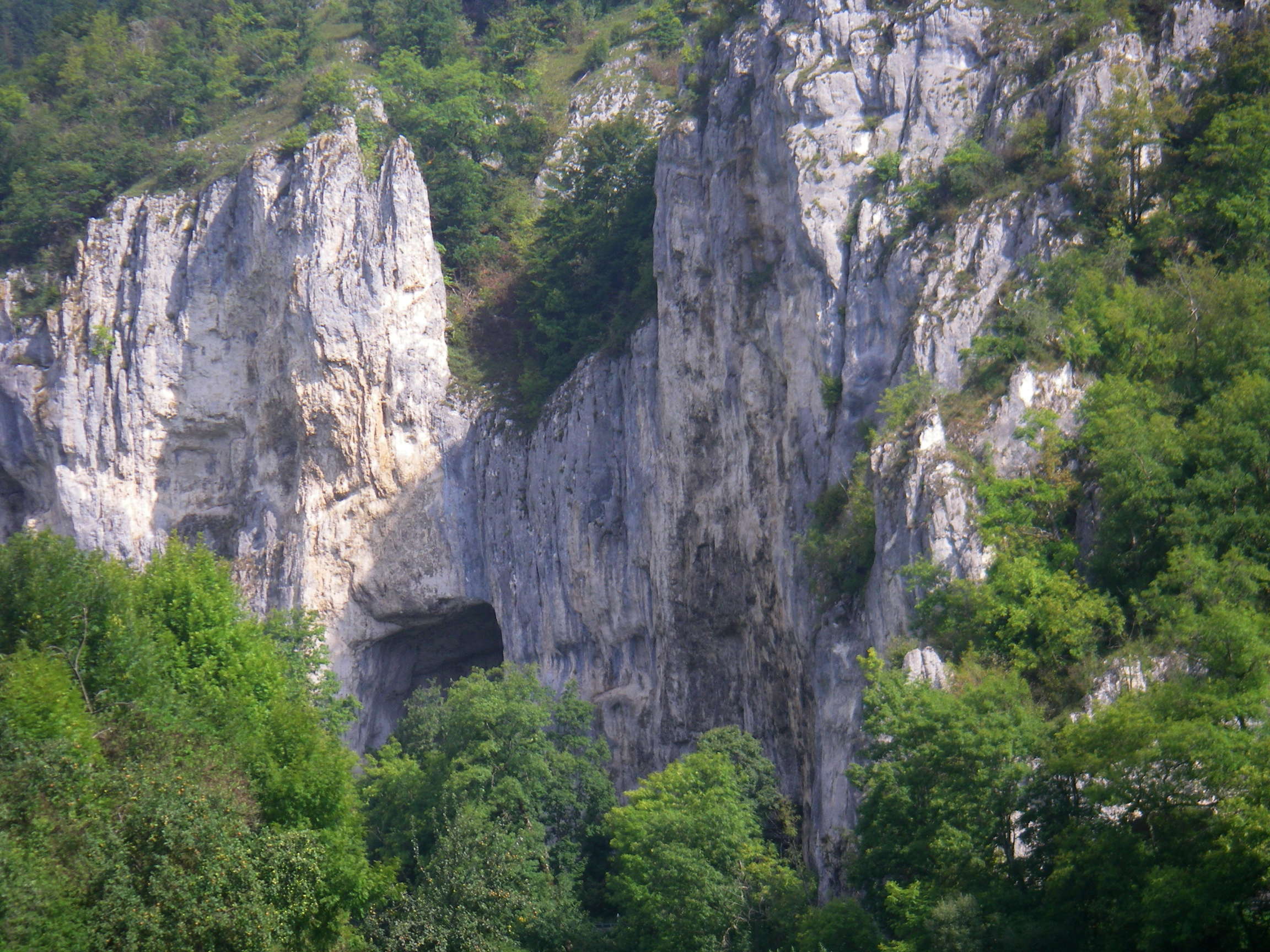
The limestone cliff in the left hand photo appeared to have a cave entrance in it.
Photo: Don & Maria Hitchcock 2nd September 2008
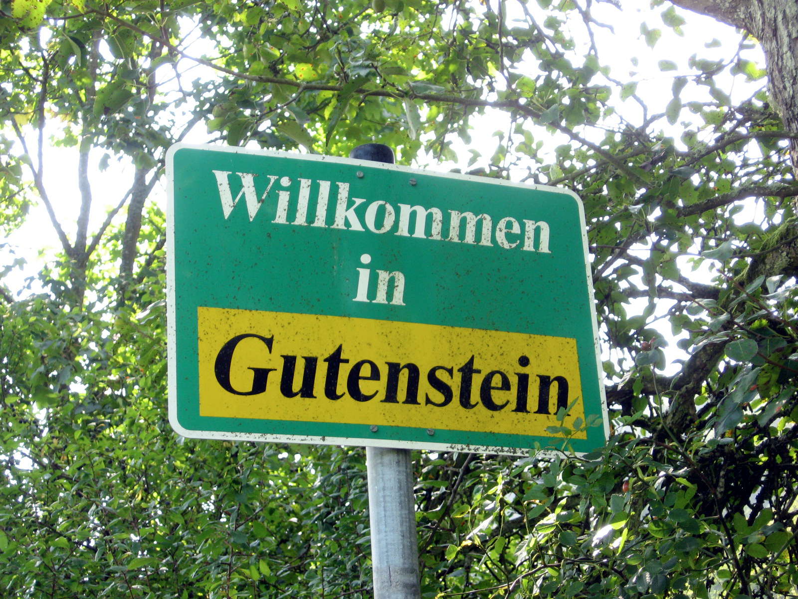
Maria began taking photos of the signs at entrances to towns, which was a huge help later when writing up the trip.
Photo: Don & Maria Hitchcock 2nd September 2008
This was the first time we had seen canoeists on the Donau.
Photo: Don & Maria Hitchcock 2nd September 2008
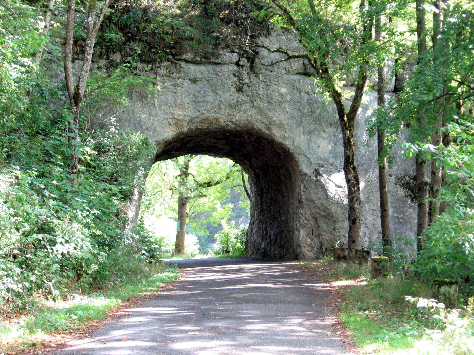
This hole carved through a limestone ridge leading down to the Donau seemed to me to be ancient, and carved by hand tools, maybe in the middle ages.
Photo: Don & Maria Hitchcock 2nd September 2008
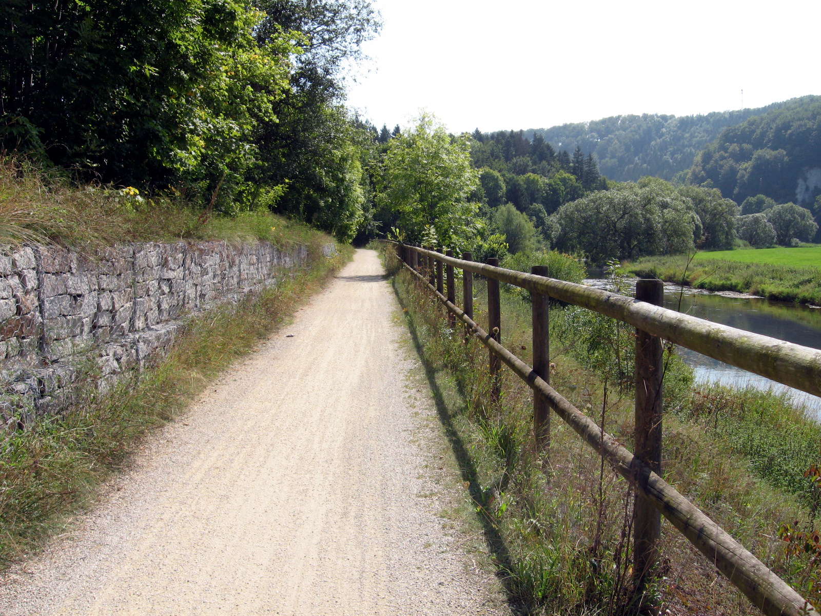
This wall beside the Radweg was modern, however, as evidenced by the wire netting used to hold the stones together. I guess it is faster and cheaper, but as a stone wall builder, I find it a cop-out for good workmanship.
Photo: Don & Maria Hitchcock 2nd September 2008
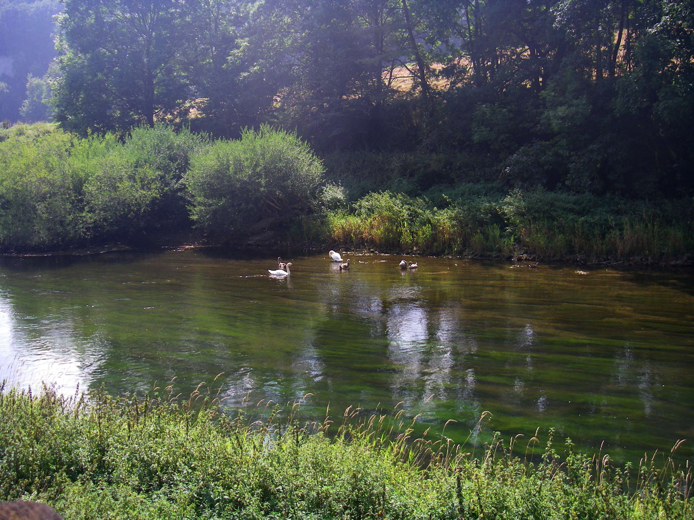
Swans near farmlands.
Photo: Don & Maria Hitchcock 2nd September 2008
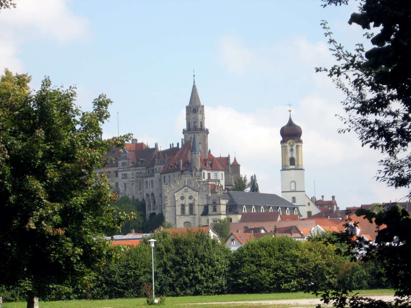
The large town of Sigmaringen appeared over the horizon.
Sigmaringen is renowned for its castle, Schloss Sigmaringen, which was the seat of the French Vichy government-in-exile during the closing months of the Second World War.
On September 7, 1944, following the Allied invasion of France, Philippe Pétain and members of the Vichy government cabinet were relocated to Germany. A city-state ruled by the government in exile headed by Fernand de Brinon, was established at Sigmaringen. There were three embassies in the city-state, all of Vichy-France's allies: Germany, Italy and Japan.
Pétain returned to France in April 1945.
The city was taken by the French army on April 22, 1945.
Photo: Don & Maria Hitchcock 2nd September 2008
Text: Adapted from Wikipedia.
From Maria's diary:
All day we kept meeting up with Sonia and Erwin, the Dutch couple as we leap-frogged each other. They told us about a camping area at Riedlingen and showed us their book of Donau maps. We only had the Higginson book at this stage and resolved to buy the maps as it was sometimes hard to find the Radweg signs in small towns and villages. With the maps we could work out which way to go without relying on the signs.
Don also carried a small compass attached to his watchband. This was a lifesaver many times as we found it hard to read the sky in the northern hemisphere. The weather was fine so we decided to camp at Riedlingen for the night.
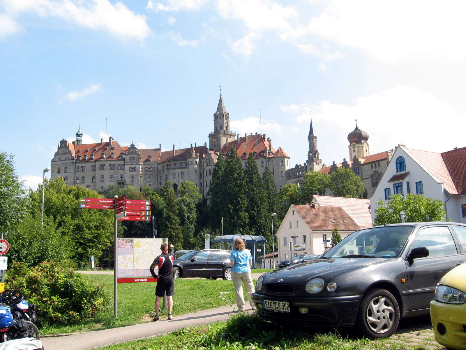
Sigmaringen is well set up for both cyclists and cars, as are most German and Austrian cities.
Note the first letters on the car numberplate in the left hand image, "SIG" denoting the town that the car is from.
Photo: Don & Maria Hitchcock 2nd September 2008
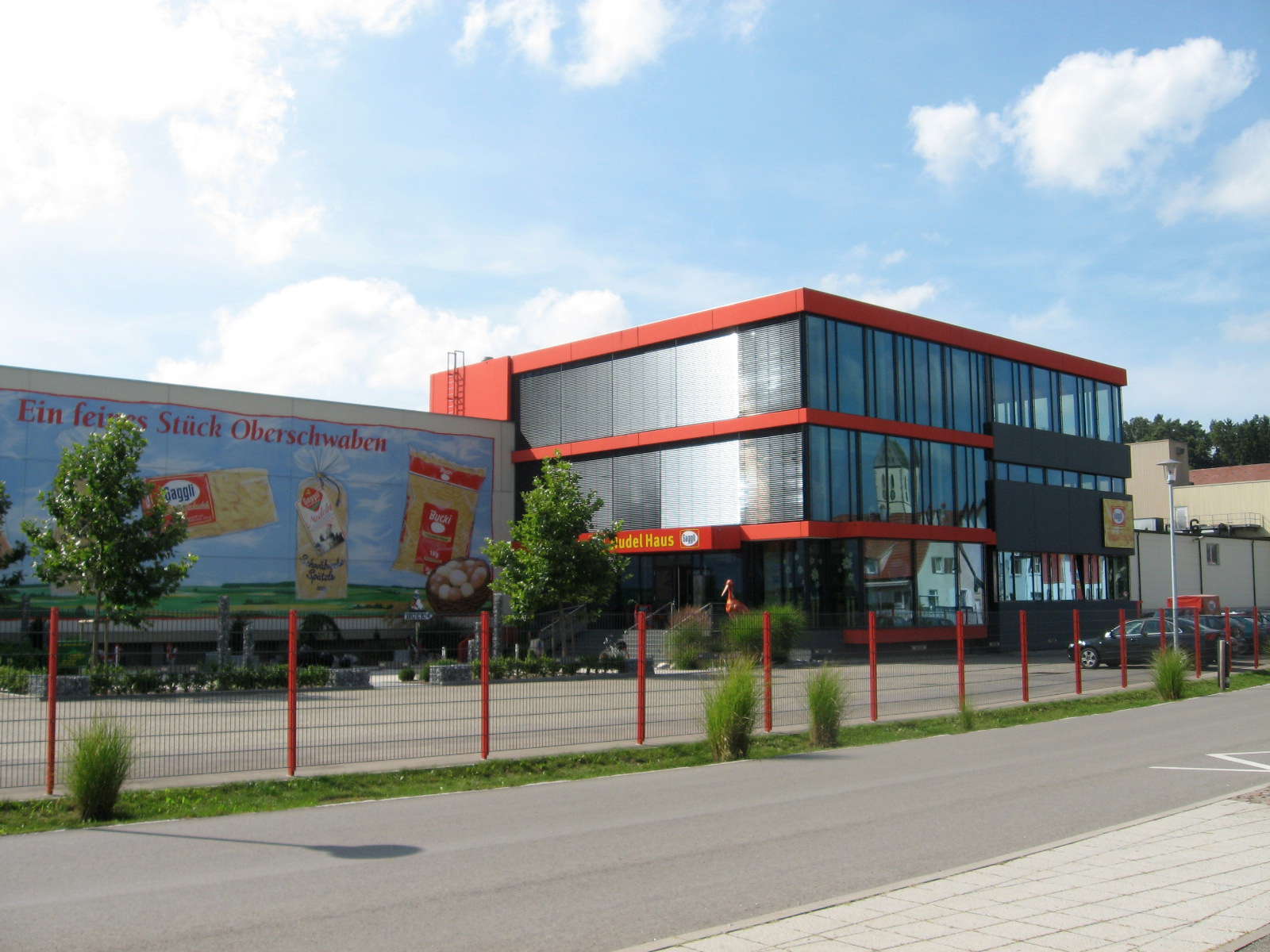
Mengen scene. The buildings in German towns are not always centuries old, but most are well designed, as is this one, with the reflection of an old building in its modern glass facade.
Photo: Don & Maria Hitchcock 2nd September 2008
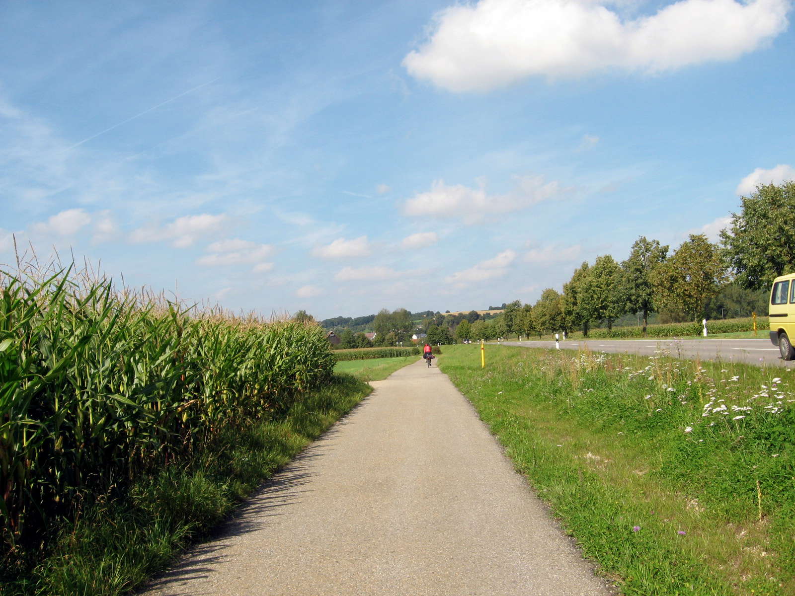
After leaving Mengen, we came across the first of many cornfields. They are a mixed blessing, usually meaning easy, flat cycling with few wind or navigation problems, but they often cut out the view of the river or anything else.
This was easy riding on bitumen, very well maintained.
Photo: Don & Maria Hitchcock 2nd September 2008
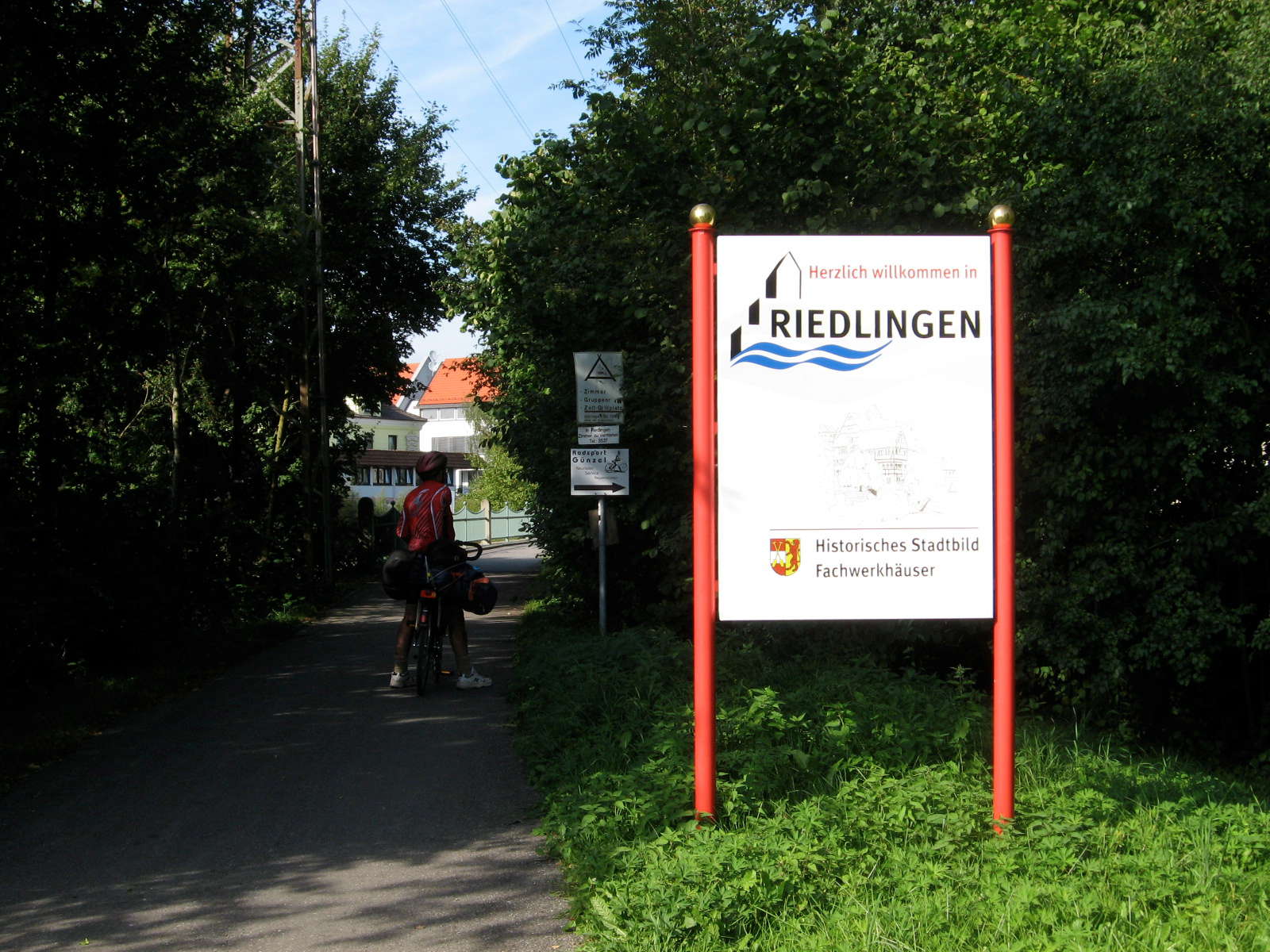
It was a long ride to Riedlingen, and we were glad to get to what we had decided was to be our destination for the night.
We had no fixed itinerary, but camped or took a room depending on the weather and what camp sites were available.
Photo: Don & Maria Hitchcock 2nd September 2008
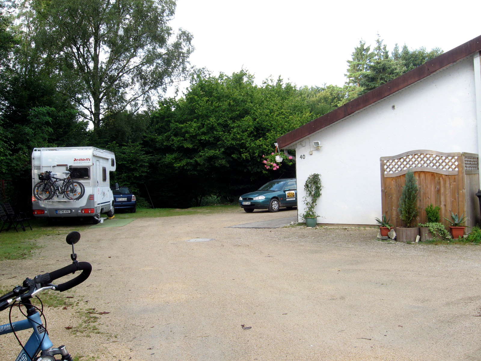
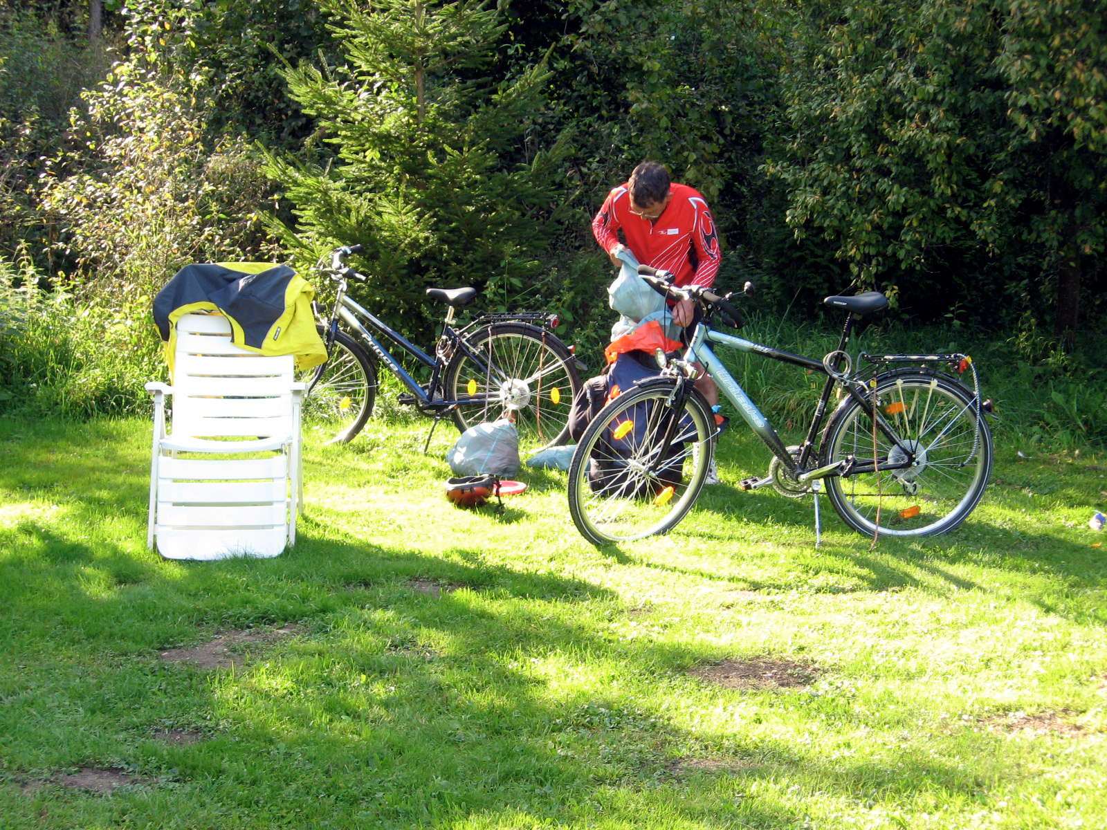
We found a good campsite, and set up camp.
I used the same system as for bushwalking, with silnylon ditty bags for clothes, food, first aid and so on, which worked well.
Photo: Don & Maria Hitchcock 2nd September 2008
From Maria's diary:
The last 20 km were pretty tedious as we had a long ride through flat farmland and fields before getting to Riedlingen. The track was smooth bitumen the whole way and easy to ride but my bottom was starting to get sore. It was fine doing short hops between villages and getting off to take photos but anything longer than 10 km in one go ended up with some chafing.
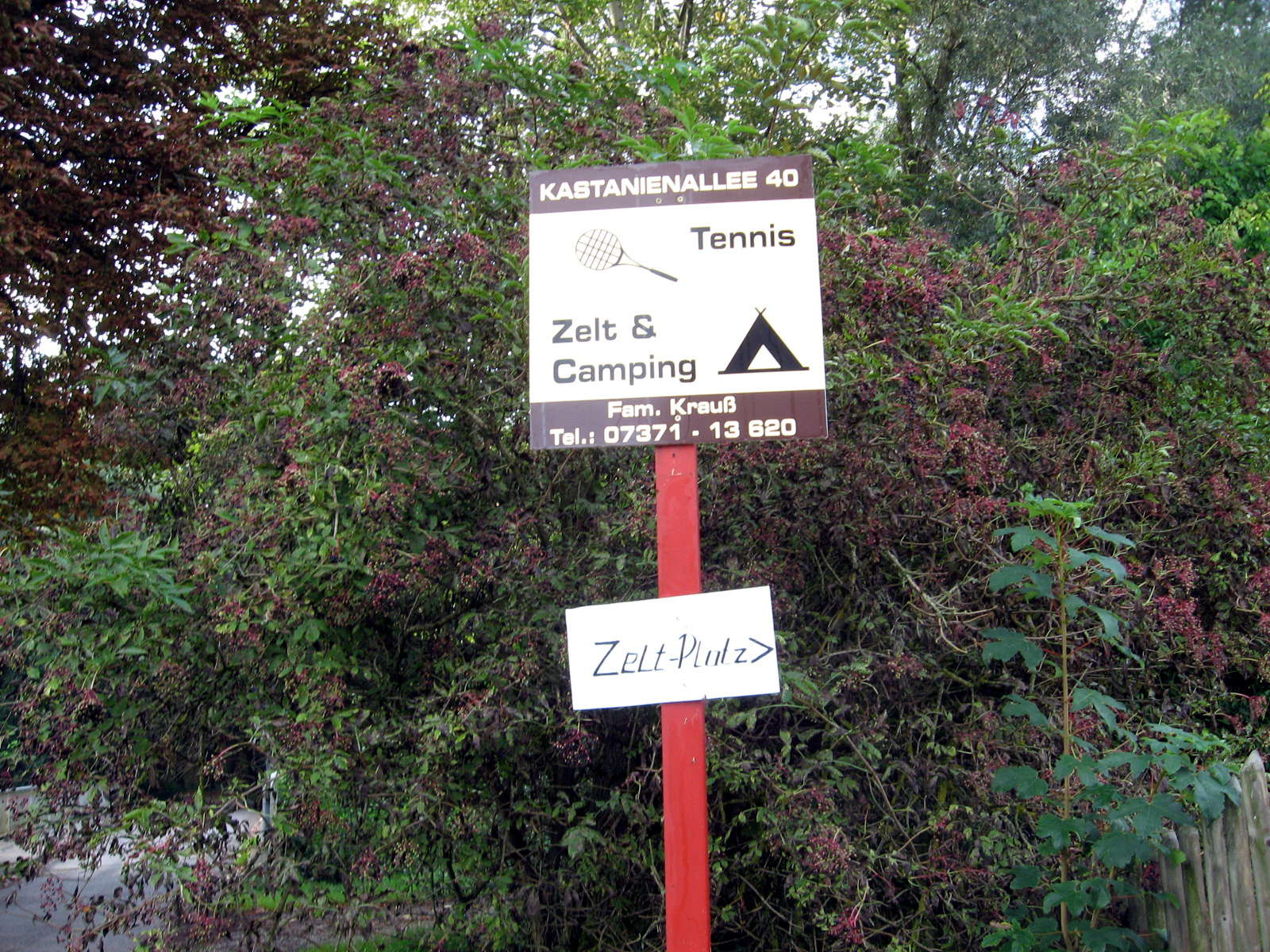
We arrived at the campground in late afternoon. The ground was attached to an indoor tennis centre which was being renovated. We used the centre toilets and showers in the change rooms. The grass was quite lush and the ground soft. No need for a hammer to put in tent pegs. Don set up his lightweight tent (1.8 kg), we dumped our bags inside, took valuables in our backpacks and rode into town.
Riedlingen is a charming medieval style small town with cobbled squares and tudor-style houses. First stop was the bookshop to buy the 3 books of maps we would need for the whole journey. Then we had to cycle to the edge of the old town to find a supermarket for supplies. On the way back we stopped for an ice-cream. It was very pleasant sitting in the old square watching the world go by. That evening we cooked a simple meal, talked to Erwin and Sonia and crashed into our sleeping bags reasonably early. The lawn was peppered with mole eruptions and one of my last thoughts before going to sleep was the hope that a mole wouldn't try to come up under me during the night.