Back to Don's Maps
Back to Maps Page
Earth Children Maps
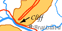
Encounter with the S'Armunai
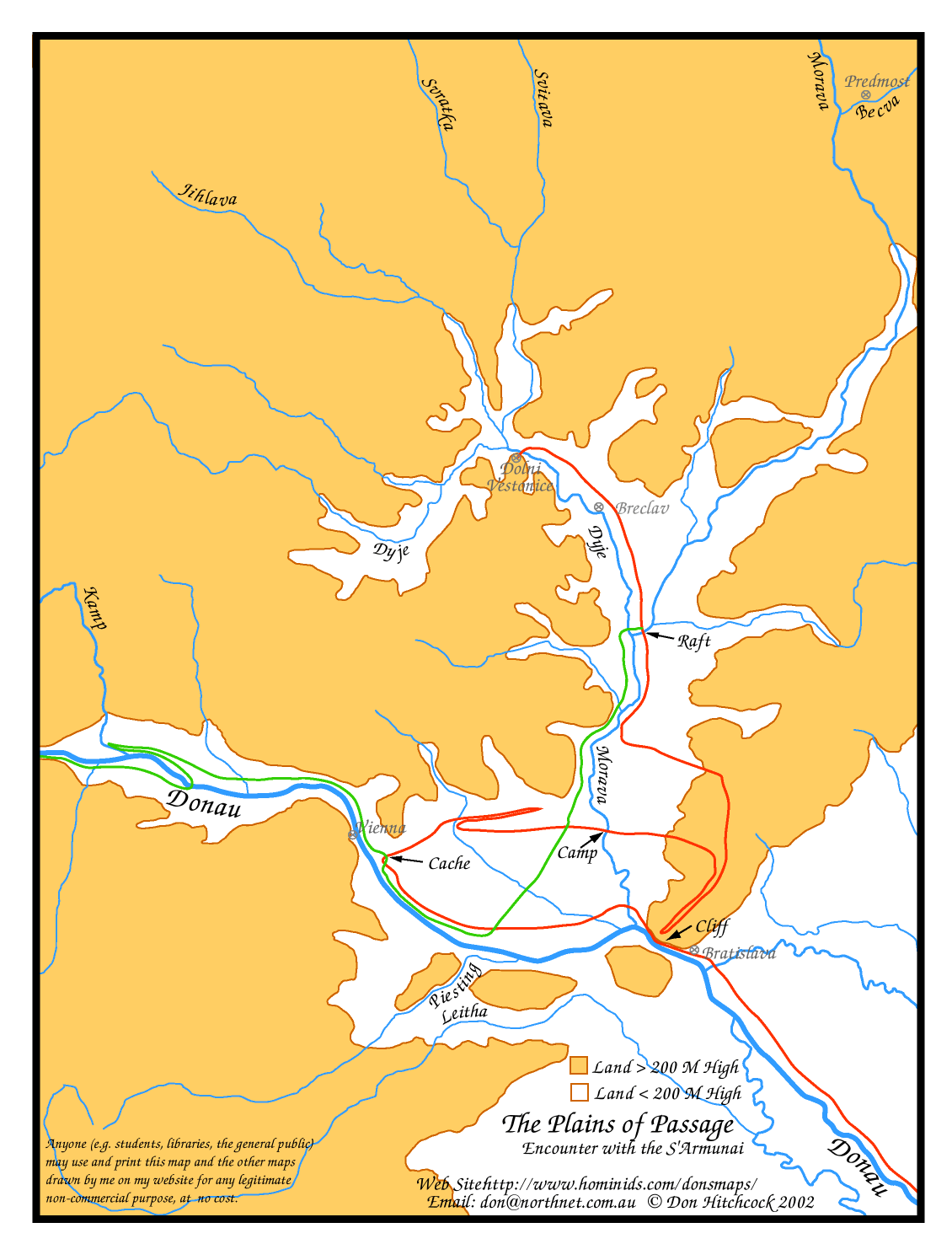
Map of the encounter with the S'Armunai from the travels of Ayla of the Mamutoi from the book Plains of Passage by Jean Auel.
I found an old map of the Dolni Vestonice area in my local University library and redrew it to show the encounter with the S'Armunai, so that I could follow the action more clearly in this part of the book.
There are several ways to print this image.
 Here is the map as a pdf file.
 This should allow the user to print the map as a single page on all computers and printers using the free Adobe Reader program.
Other programs and browsers may open the file, but it is best to use Adobe Reader to print it, since other programs tend to chop bits off.
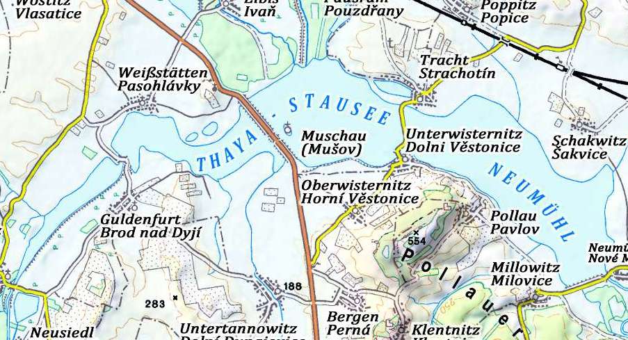
Modern Map of Dolni Vestonice and surrounding areas
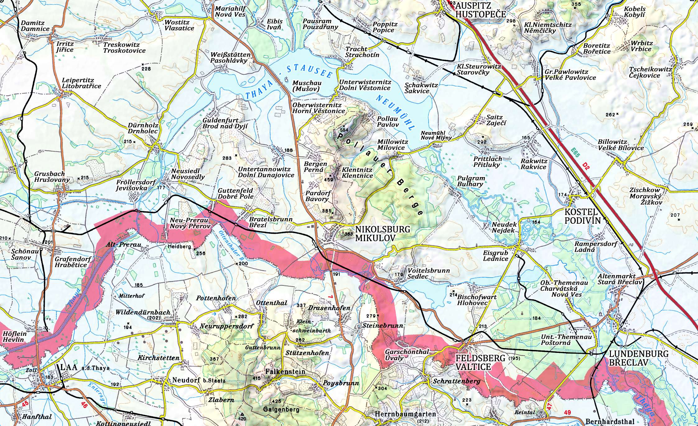
This modern map may be useful for anyone trying to visit the Dolni Vestonice area.
Photo: © Fritz Lange
Source: A map of the area of the "Pollauer Berge" generated from a CD and modified by Fritz Lange.
There are several ways to print this image.
 Here is the map as a pdf file.
 This should allow the user to print the map as a single page on all computers and printers using the free Adobe Reader program.
Other programs and browsers may open the file, but it is best to use Adobe Reader to print it, since other programs tend to chop bits off.
Many people find that the above method is the best way to print the file. It should open in Adobe Reader, which is a free program that most people have, but if not you can get it at:
http://www.adobe.com/products/reader/
Another way to print this image is to copy it and paste into a drawing program such as Claris Works, Apple Works, MS Works, Adobe Illustrator, Corel Draw etc. or use the print preview function in later versions of Internet Explorer, which on the Mac is very easy to use.
For Mac: click and hold on the map until you can choose 'copy this image' from the pop up menu.
For PC: Right click on the map and choose 'copy this image' from the pop up menu.
Then paste into a drawing program, and choose a percentage scale from the page set up menu to allow the entire page to fit on one sheet of paper. Try 50%, with vertical (portrait) orientation for the page.
Another method is that after saving it from your browser, later on at your convenience open it again with your browser and print from your browser itself. Make sure you change the page setup to print vertical (portrait) orientation, and at say 50%.
I'd appreciate feedback on the success or otherwise of these instructions.